Lord's Wood

Wood, Forest in Yorkshire Craven

England

Lord's Wood

The Wharfe Valley at Starbotton
The Wharfe Valley at Starbotton Credit: habiloid

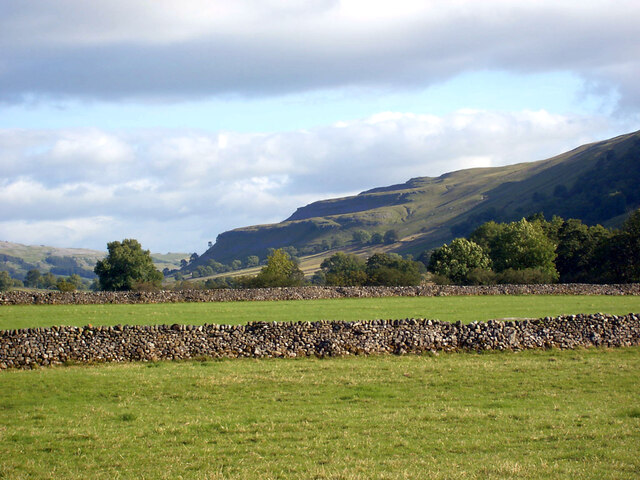
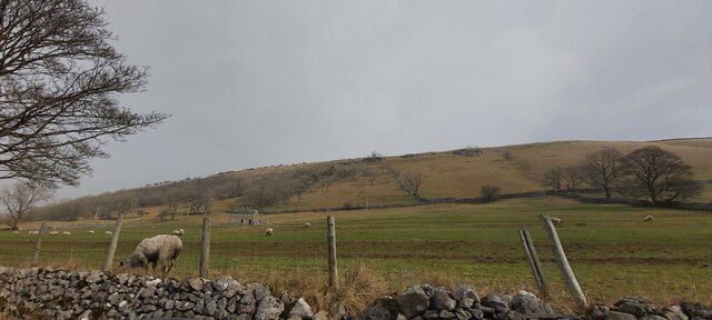
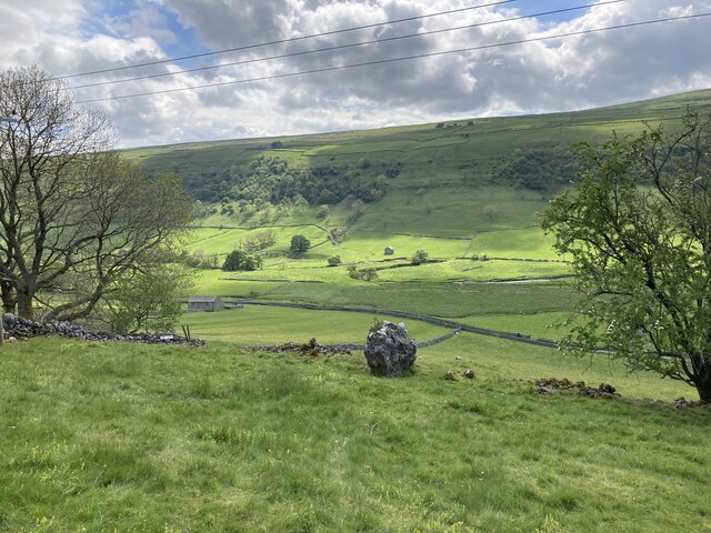
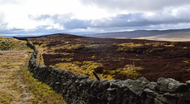
Lord's Wood is a picturesque forest located in the county of Yorkshire, England. Covering an area of approximately 100 acres, this enchanting woodland is a cherished natural treasure in the region. Nestled amidst rolling hills and meandering streams, Lord's Wood offers visitors a tranquil escape from the hustle and bustle of everyday life.

The forest is predominantly composed of mature oak and beech trees, which provide a rich and diverse habitat for various wildlife species. The towering trees create a dense canopy, casting dappled sunlight onto the forest floor, where an array of wildflowers bloom in the spring and summer months.

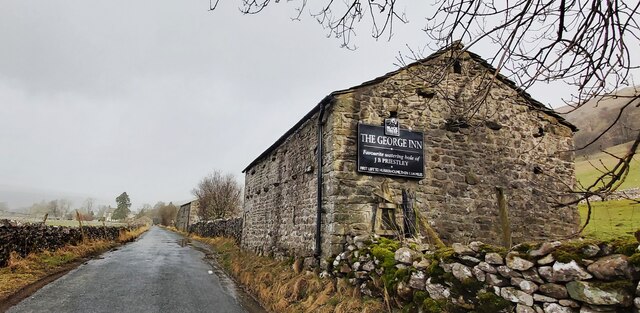
A network of well-maintained trails winds through the wood, allowing visitors to explore its beauty at their own pace. These pathways lead to hidden glades, where one can discover secret clearings and peaceful spots for relaxation or a picnic surrounded by nature's serenity.

Lord's Wood also boasts a small pond, teeming with aquatic life and attracting a wide variety of birds. Nature enthusiasts can often spot woodpeckers, owls, and other woodland creatures, adding to the area's allure.

For those seeking a deeper connection with the natural world, Lord's Wood offers ample opportunities for birdwatching, photography, and nature walks. The forest is open to the public year-round, with many visitors returning time and time again to immerse themselves in its serene ambiance.

Lord's Wood truly is a haven for those in search of solitude, natural beauty, and a deeper appreciation for Yorkshire's countryside.

If you have any feedback on the listing, please let us know in the comments section below.
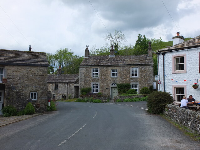
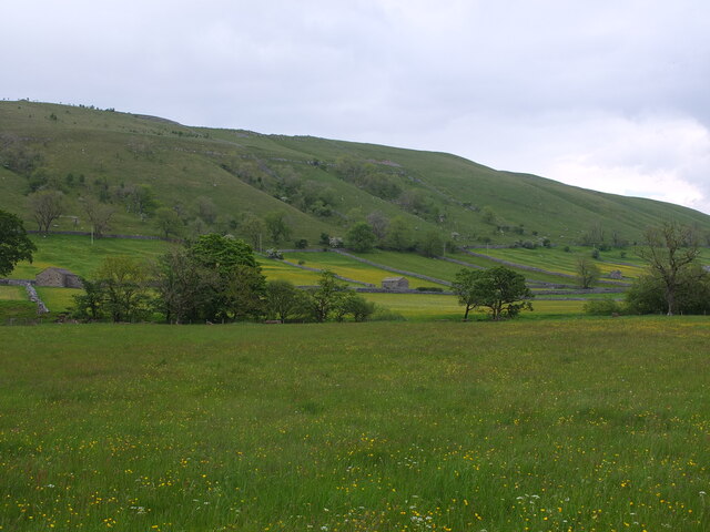
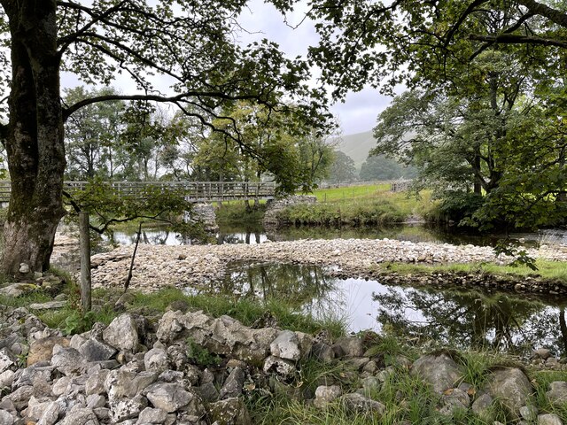
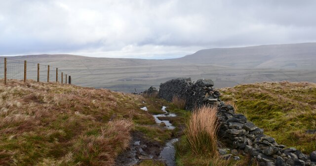
Lord's Wood Images

Images are sourced within 2km of 54.16973/-2.0855902 or Grid Reference SD9474. Thanks to Geograph Open Source API. All images are credited.

The Wharfe Valley at Starbotton
The Fox & Hounds - Starbotton
Barn Advertising The George Inn near Buckden
Grazing land in Wharfedale
View from the path between Kettlewell and Starbotton
View towards Starbotton from Calfhalls
View towards Slater Barn from Calfhalls
Starbotton village The Fox and Hounds pub is on the right: <span class="nowrap"><a title="https://foxandhoundsstarbotton.co.uk/" rel="nofollow ugc noopener" href="https://foxandhoundsstarbotton.co.uk/">Link</a><img style="margin-left:2px;" alt="External link" title="External link - shift click to open in new window" src="https://s1.geograph.org.uk/img/external.png" width="10" height="10"/></span>
Starbotton village
The Fox and Hounds pub is on the right: LinkExternal link
Footbridge over the River Wharfe at Starbotton
The River Wharfe at Starbotton
The River Wharfe near Starbotton
View across Wharfedale near Starbotton
Starbotton Ford This ford on the River Wharfe is found beside the substantial footbridge.
Starbotton Ford
This ford on the River Wharfe is found beside the substantial footbridge.
Stepping Stones on the Wharfe These stepping stones on the Wharfe afford a fording point near Starbotton.
Stepping Stones on the Wharfe
These stepping stones on the Wharfe afford a fording point near Starbotton.
Ford at Starbotton This is another ford at Starbotton.
Ford at Starbotton
This is another ford at Starbotton.
Footpath to Starbotton. A wet day on the fell.
Footpath to Starbotton.
A wet day on the fell.
Path along the top of Old Cote High Moor Just follow the wall.
Path along the top of Old Cote High Moor
Just follow the wall.
Old Wayside Cross beside the B6160 in Buckden Buckden Cross, the old base and stump of the shaft of a wayside cross. Set in a field on the east side of the B6160, beside a wire fence. On the boundary of Buckden and Kettlewell and Starbotton parishes and inscribed B. Scheduled Monument details <span class="nowrap"><a title="https://historicengland.org.uk/listing/the-list/list-entry/1008779" rel="nofollow ugc noopener" href="https://historicengland.org.uk/listing/the-list/list-entry/1008779">Link</a><img style="margin-left:2px;" alt="External link" title="External link - shift click to open in new window" src="https://s1.geograph.org.uk/img/external.png" width="10" height="10"/></span>. 

Milestone Society National ID: YNCR_BUC
Old Wayside Cross beside the B6160 in Buckden
Buckden Cross, the old base and stump of the shaft of a wayside cross. Set in a field on the east side of the B6160, beside a wire fence. On the boundary of Buckden and Kettlewell and Starbotton parishes and inscribed B. Scheduled Monument details LinkExternal link. Milestone Society National ID: YNCR_BUC
Show me another place!

Lord's Wood is located at Grid Ref: SD9474 (Lat: 54.16973, Lng: -2.0855902)

Division: West Riding

Administrative County: North Yorkshire

District: Craven

Police Authority: North Yorkshire

What 3 Words

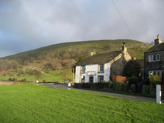
///wrenching.guarding.gestures. Near Grassington, North Yorkshire

Nearby Locations

Lord's Wood Fosse Wood

Related Wikis

Starbotton

Starbotton is a village of around 60 houses in Upper Wharfedale in the Craven district of North Yorkshire, England. It is situated in the Yorkshire Dales...

Kettlewell with Starbotton

Kettlewell with Starbotton is a civil parish in the Craven district of North Yorkshire, England. Kettlewell is a village in Upper Wharfedale, North Yorkshire...

Buckden, North Yorkshire

Buckden is a village and civil parish in the Craven district of North Yorkshire, England. Historically part of the West Riding of Yorkshire, Buckden is...

Birks Fell

Birks Fell is a hill in the Yorkshire Dales, near to Hubberholme in North Yorkshire, England. It is classed as a Marilyn (a hill with topographic prominence...

Nearby Amenities

Located within 500m of 54.16973,-2.0855902
Ford: yes
Source: OS 1:25k
Lat/Long: 54.1685803/-2.0801379
Natural: spring
Source: OS 1:25k
Lat/Long: 54.1699953/-2.0917778
Natural: spring
Source: OS 1:25k
Lat/Long: 54.1712765/-2.0855765
Natural: sinkhole
Source: Bing
Lat/Long: 54.1663251/-2.0899507
Natural: sinkhole
Source: Bing
Lat/Long: 54.1659294/-2.0891031
Natural: sinkhole
Source: Bing
Lat/Long: 54.1659641/-2.0897146
Natural: sinkhole
Source: Bing
Lat/Long: 54.166256/-2.0898273
Ford: yes
Lat/Long: 54.1715942/-2.0838834
The data included in this document is from www.openstreetmap.org. The data is made available under ODbL.

Have you been to Lord's Wood?

Leave your review of Lord's Wood below (or comments, questions and feedback).