The Grove
Wood, Forest in Yorkshire Craven
England
The Grove
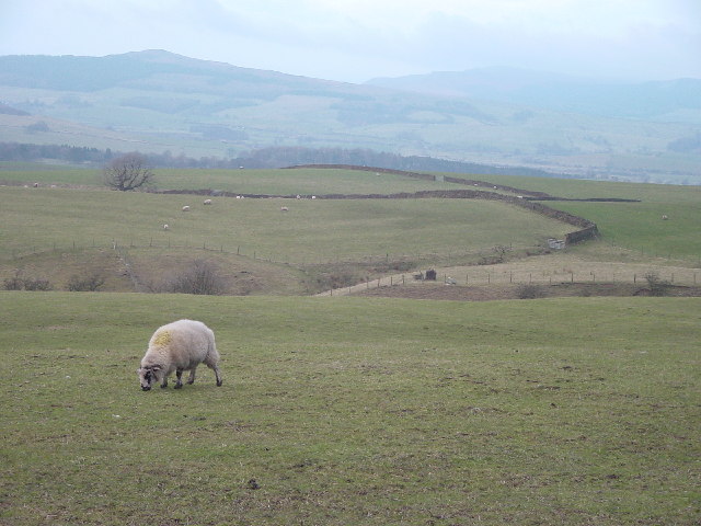
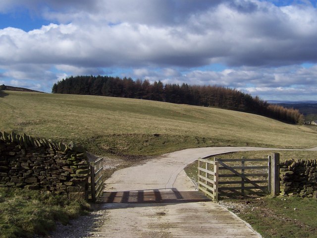
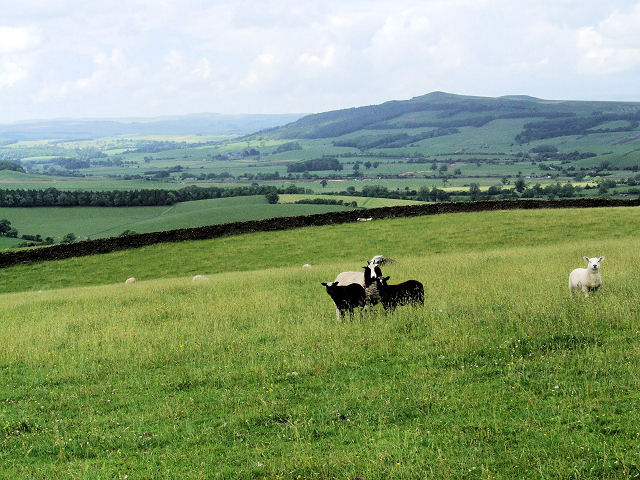
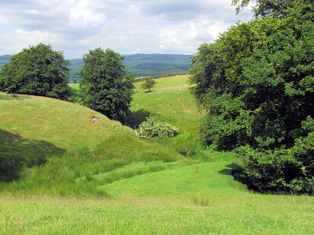
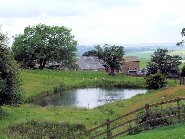
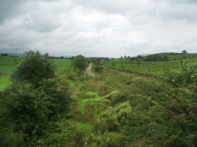
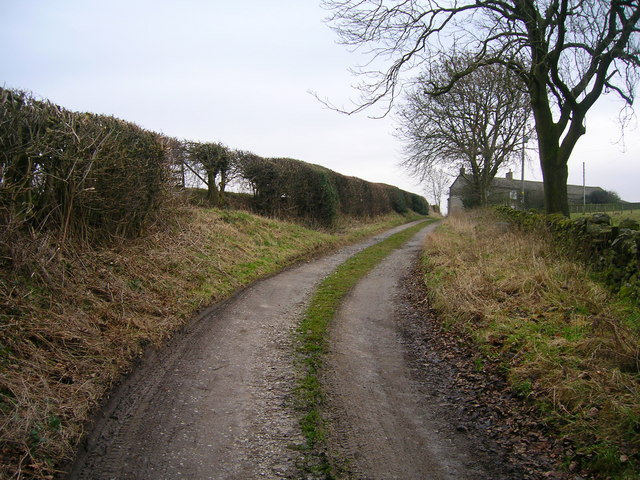
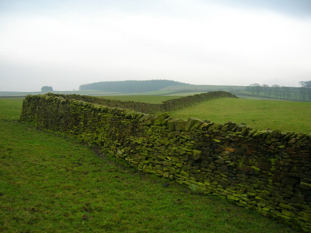
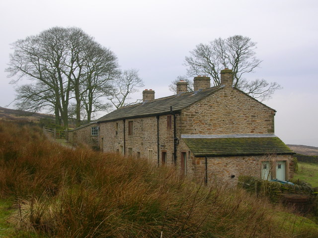
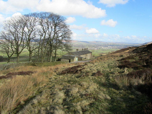
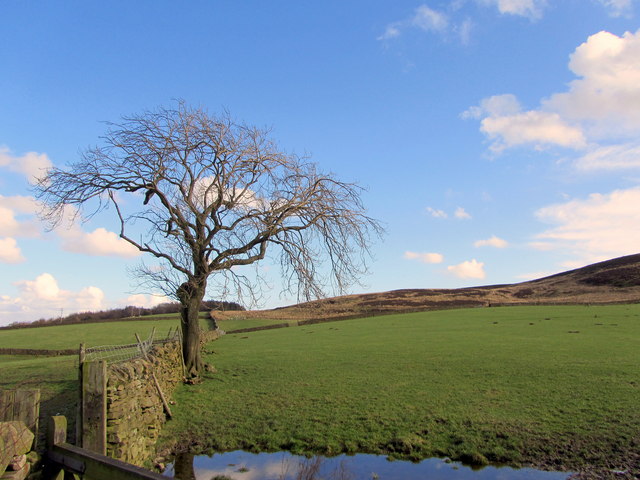
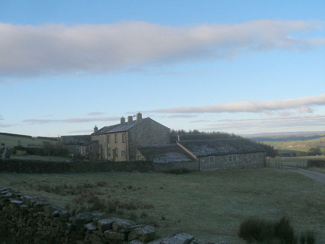
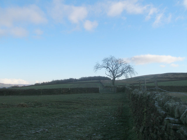
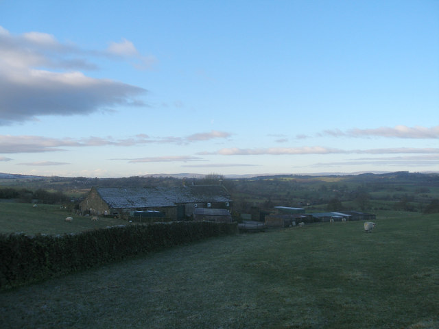
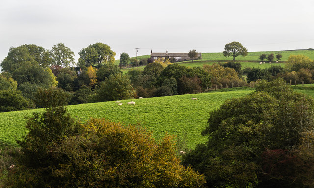
The Grove, located in Yorkshire, is a beautiful and expansive woodland area known for its dense forest cover and picturesque scenery. This woodland, also referred to as a wood or forest, spans over a vast area, providing a natural haven for both wildlife and visitors alike.
The Grove is characterized by its tall and majestic trees, including a variety of species such as oak, beech, and birch, creating a diverse and vibrant ecosystem. The forest floor is covered in a rich carpet of moss, ferns, and wildflowers, adding to the enchanting atmosphere of the area. It is home to a wide range of flora and fauna, including various species of birds, mammals, and insects.
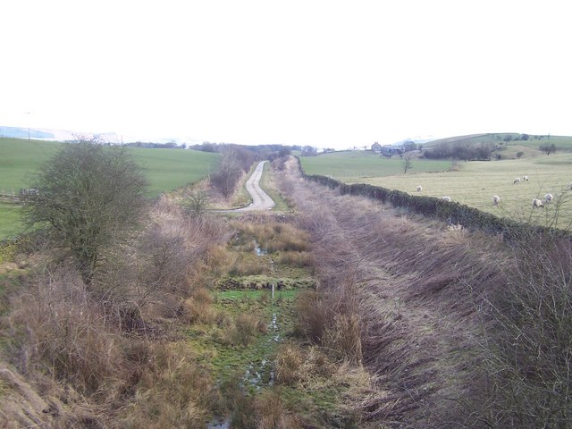
The woodland is a popular destination for nature enthusiasts, hikers, and photographers who are drawn to its serene and idyllic setting. Numerous walking trails and footpaths crisscross through The Grove, allowing visitors to explore its hidden corners and discover its natural wonders. The forest also offers opportunities for recreational activities such as camping, picnicking, and birdwatching.
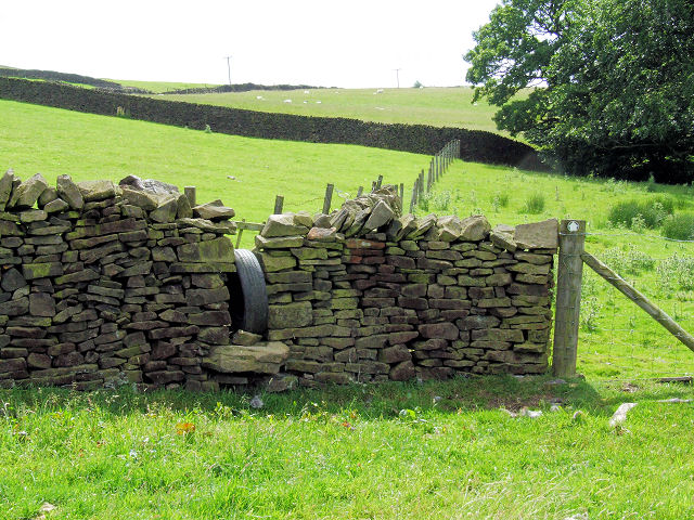
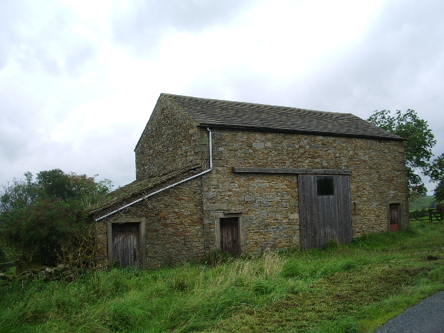
In addition to its natural beauty, The Grove holds historical and cultural significance. Remnants of ancient settlements and archaeological sites can be found scattered throughout the woodland, providing insight into the area's rich past. Many believe that it served as a sacred place for rituals and gatherings in ancient times.
Overall, The Grove in Yorkshire is a captivating woodland retreat, offering a glimpse into the region's natural beauty, wildlife, and history. It provides a tranquil escape from the bustle of modern life, inviting visitors to immerse themselves in its peaceful and enchanting surroundings.
If you have any feedback on the listing, please let us know in the comments section below.
The Grove Images
Images are sourced within 2km of 53.954434/-2.0851169 or Grid Reference SD9450. Thanks to Geograph Open Source API. All images are credited.

The Grove is located at Grid Ref: SD9450 (Lat: 53.954434, Lng: -2.0851169)
Division: West Riding
Administrative County: North Yorkshire
District: Craven
Police Authority: North Yorkshire
What 3 Words
///ranted.tramps.outhouse. Near Gargrave, North Yorkshire
Related Wikis

Broughton, Craven
Broughton is a village and civil parish in the Craven district of North Yorkshire, England. The village is on the A59 road approximately 3 miles (5 km...

Fresh Radio
Fresh Radio was an Independent Local Radio station broadcasting to the Yorkshire Dales in northern England on two medium wave (AM) frequencies and three...
Moor Music Festival
The Moor Music Festival was an annual music festival held initially on a farm in Addingham Moorside, near the town of Ilkley, West Yorkshire. For the 2009...

Elslack railway station
Elslack railway station once served the small village of Elslack in North Yorkshire, England. The station was built by the Leeds and Bradford Extension...

Stirton with Thorlby
Stirton with Thorlby is a civil parish in the Craven district of North Yorkshire, England. The parish includes the settlements of Stirton and Thorlby....

Gargrave railway station
Gargrave is a railway station on the Bentham Line, which runs between Leeds and Morecambe via Skipton. The station, situated 30 miles (48 km) north-west...

Carleton-in-Craven
Carleton-in-Craven is a small village and civil parish in the Craven district of North Yorkshire, England, and situated just over 1.5 miles (2.4 km) south...
Elslack
Elslack is a village and civil parish in the Craven district of North Yorkshire, England, close to the border with Lancashire and 4 miles west of Skipton...
Nearby Amenities
Located within 500m of 53.954434,-2.0851169Have you been to The Grove?
Leave your review of The Grove below (or comments, questions and feedback).