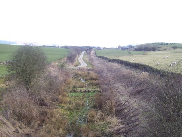
Clay Meadow Plantation
Wood, Forest in Yorkshire Craven
England
Clay Meadow Plantation
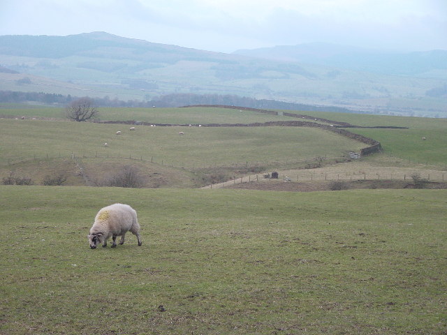
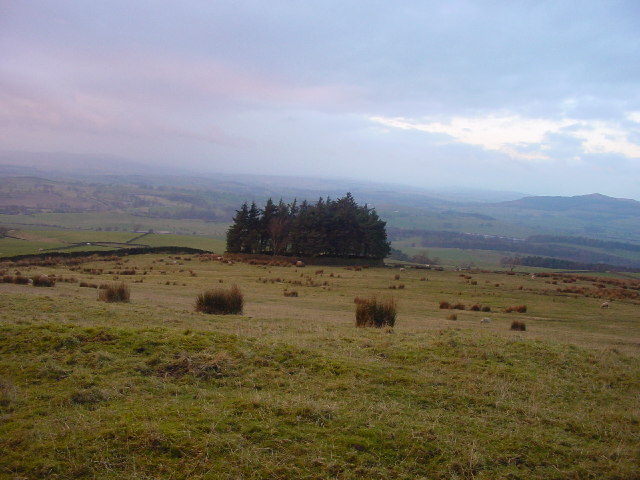
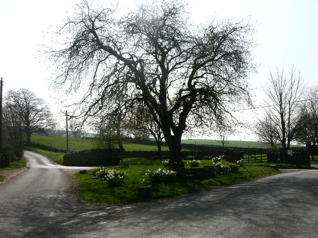
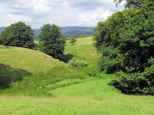
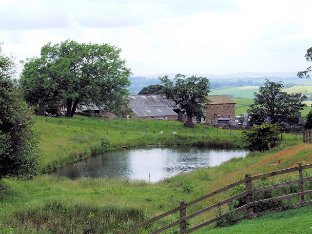
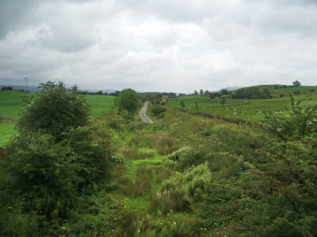
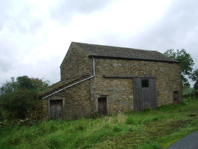
Clay Meadow Plantation, located in Yorkshire, is a sprawling wood and forest area that spans approximately 500 acres. It is a picturesque landscape that is renowned for its natural beauty and diverse ecosystem. The plantation is situated in a tranquil setting, offering visitors a serene and peaceful environment.
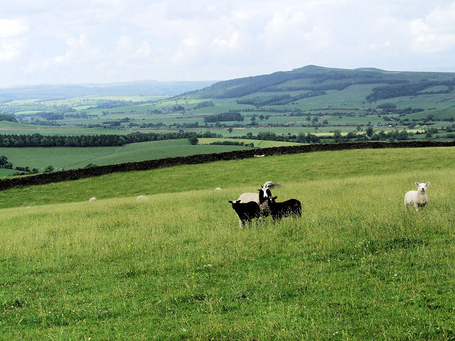
The woodlands of Clay Meadow Plantation are predominantly composed of native tree species, including oak, birch, and beech trees. These trees provide a rich habitat for a variety of wildlife, such as birds, small mammals, and insects. The area is also home to several rare and protected species, making it a significant site for conservation efforts.
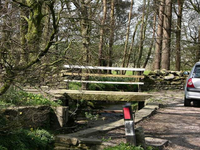
The forested areas of Clay Meadow Plantation feature well-maintained trails and paths, making it an ideal destination for outdoor enthusiasts and nature lovers. Visitors can explore the plantation on foot, enjoying leisurely walks or challenging hikes through the dense woodland. The plantation also offers designated picnic areas, allowing visitors to relax and enjoy the scenic surroundings.
Clay Meadow Plantation is not only a haven for nature enthusiasts but also serves as an educational resource. The plantation offers guided tours and educational programs, providing visitors with the opportunity to learn about the local flora and fauna, as well as the importance of conservation and sustainable land management.
Overall, Clay Meadow Plantation in Yorkshire is a captivating woodland and forest area that offers a fantastic opportunity to immerse oneself in nature, explore diverse ecosystems, and gain a deeper understanding of the natural world.
If you have any feedback on the listing, please let us know in the comments section below.
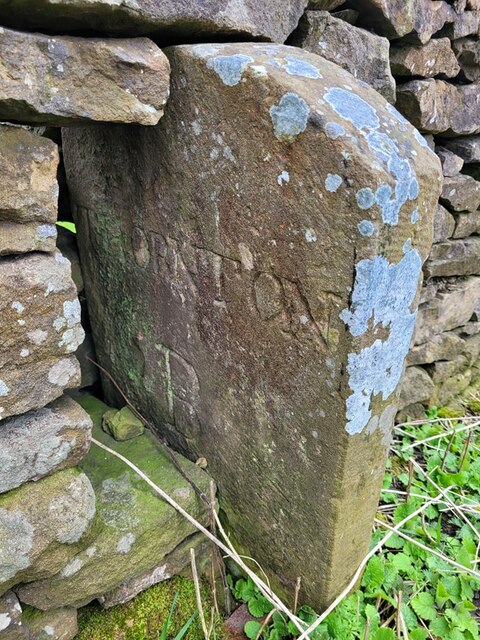
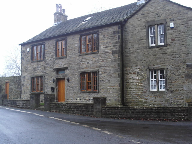
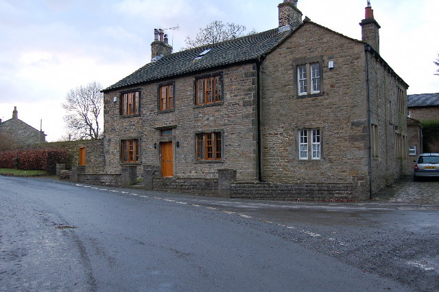
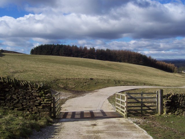
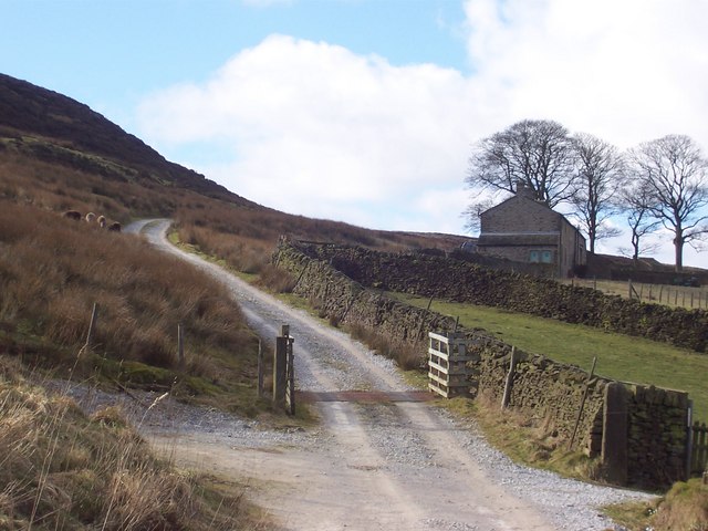
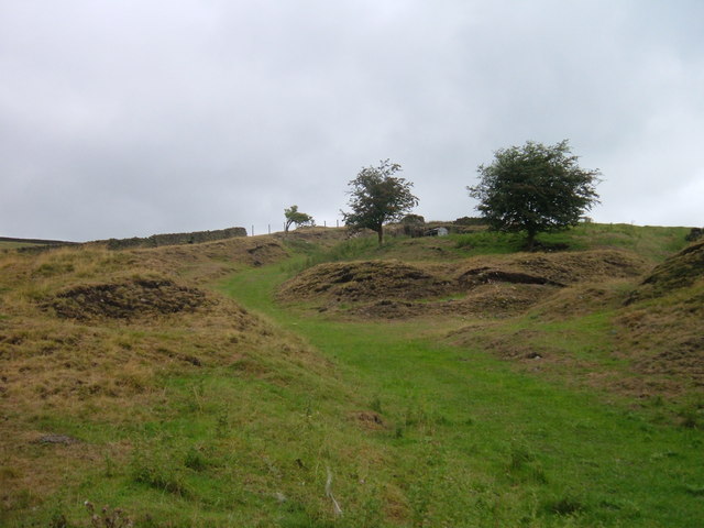
Clay Meadow Plantation Images
Images are sourced within 2km of 53.950072/-2.0881706 or Grid Reference SD9450. Thanks to Geograph Open Source API. All images are credited.

Clay Meadow Plantation is located at Grid Ref: SD9450 (Lat: 53.950072, Lng: -2.0881706)
Division: West Riding
Administrative County: North Yorkshire
District: Craven
Police Authority: North Yorkshire
What 3 Words
///equal.quicker.airbase. Near Gargrave, North Yorkshire
Related Wikis

Fresh Radio
Fresh Radio was an Independent Local Radio station broadcasting to the Yorkshire Dales in northern England on two medium wave (AM) frequencies and three...

Broughton, Craven
Broughton is a village and civil parish in the Craven district of North Yorkshire, England. The village is on the A59 road approximately 3 miles (5 km...

Elslack railway station
Elslack railway station once served the small village of Elslack in North Yorkshire, England. The station was built by the Leeds and Bradford Extension...
Moor Music Festival
The Moor Music Festival was an annual music festival held initially on a farm in Addingham Moorside, near the town of Ilkley, West Yorkshire. For the 2009...
Elslack
Elslack is a village and civil parish in the Craven district of North Yorkshire, England, close to the border with Lancashire and 4 miles west of Skipton...

Stirton with Thorlby
Stirton with Thorlby is a civil parish in the Craven district of North Yorkshire, England. The parish includes the settlements of Stirton and Thorlby....

Carleton-in-Craven
Carleton-in-Craven is a small village and civil parish in the Craven district of North Yorkshire, England, and situated just over 1.5 miles (2.4 km) south...

Gargrave railway station
Gargrave is a railway station on the Bentham Line, which runs between Leeds and Morecambe via Skipton. The station, situated 30 miles (48 km) north-west...
Related Videos
Metamorphosis UK Residential Retreat
2022 saw Tottem's first UK residential retreat 'Metamorphosis', take place at the stunning Broughton Sanctuary in the Yorkshire ...

Carleton-in-Craven
Carleton-in-Craven is a village in the Craven district of North Yorkshire, situated just over 2 km south-west from the market town of ...

The Leeds & Liverpool Canal As You've Never Seen It Before! Drone of Britain by Narrowboat - Ep. 63
Capturing the Leeds & Liverpool Canal as you've never seen it before! Spectacular drone footage of Britain by Narrowboat.
Nearby Amenities
Located within 500m of 53.950072,-2.0881706Have you been to Clay Meadow Plantation?
Leave your review of Clay Meadow Plantation below (or comments, questions and feedback).