Brook Grove

Wood, Forest in Gloucestershire Cotswold

England

Brook Grove

The end of the lane at Througham Slad Manor According to OS mapping, the public road appears to carry on another 100m or so from this point. However our country landowners would seem to annex a bit of public property by just putting up a PRIVATE sign with NO TURNING BEYOND THIS POINT to drive home the message. No change in road surface though.
I didn't take the car any further.
The end of the lane at Througham Slad Manor Credit: Jonathan Billinger

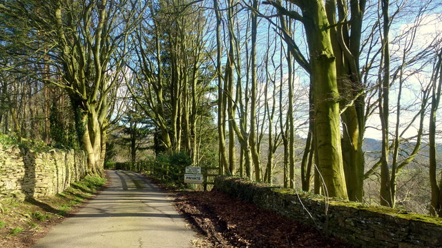
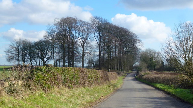
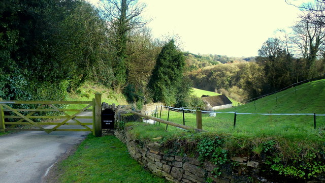
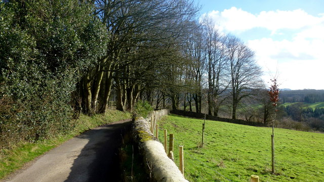
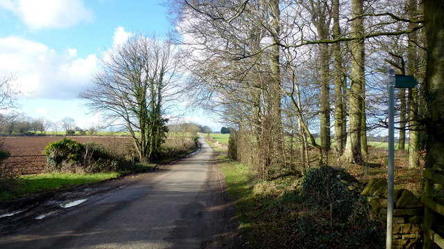
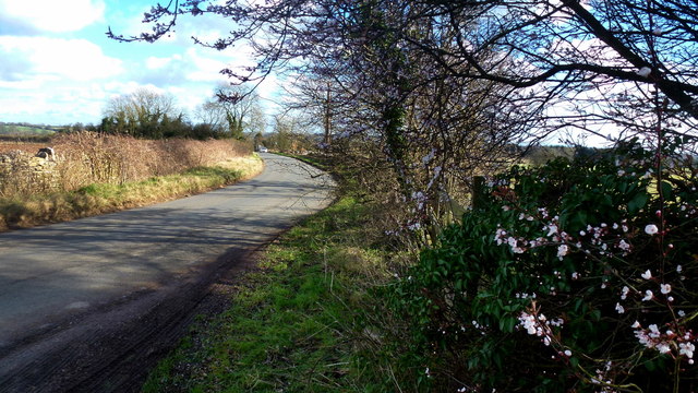
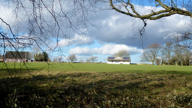
Brook Grove is a picturesque woodland located in Gloucestershire, England. Spanning an area of approximately 200 acres, this enchanting forest is known for its diverse flora and fauna, making it a haven for nature enthusiasts and outdoor lovers.

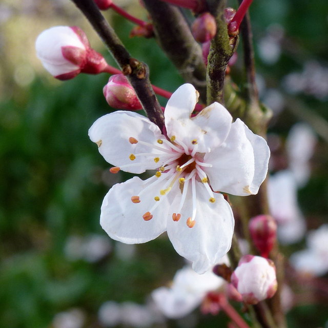
The woodland is characterized by a mix of deciduous and coniferous trees, including oak, beech, pine, and spruce, which create a vibrant and evergreen landscape throughout the year. The forest floor is carpeted with a rich assortment of wildflowers, ferns, and mosses, adding to the area's natural beauty.

Brook Grove is home to a variety of wildlife, providing a sanctuary for numerous species. Visitors can spot an array of birds, including woodpeckers, owls, and various songbirds, as well as small mammals like squirrels, rabbits, and foxes. It is not uncommon to catch a glimpse of deer grazing among the trees or catch the delightful sight of a red squirrel darting through the branches.

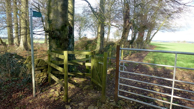
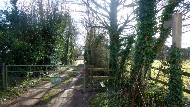
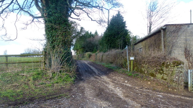
The woodland offers several walking trails, allowing visitors to explore its hidden treasures. These paths wind through the forest, offering glimpses of babbling brooks, small ponds, and ancient trees. The tranquil atmosphere of Brook Grove makes it the perfect destination for a peaceful stroll or a relaxing picnic amidst nature.

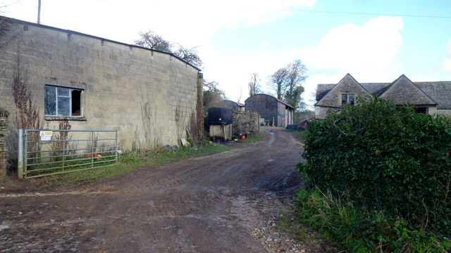
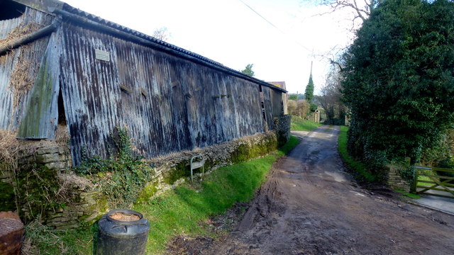
In addition to its natural beauty, Brook Grove also has historical significance. It is believed that the woodland has been in existence for hundreds of years, with some of the trees dating back several centuries. The forest has likely played a role in the lives of local communities throughout history, serving as a source of timber and providing a setting for traditional activities such as woodland crafts and storytelling.

Overall, Brook Grove in Gloucestershire is a captivating woodland that offers a unique blend of natural beauty, diverse wildlife, and historical charm. It is a place where visitors can escape the hustle and bustle of daily life and immerse themselves in the tranquility of nature.

If you have any feedback on the listing, please let us know in the comments section below.
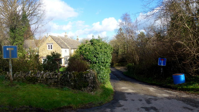
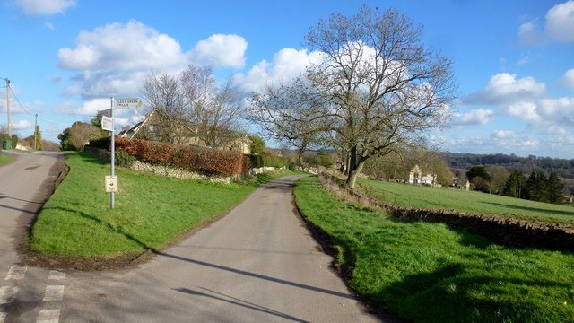
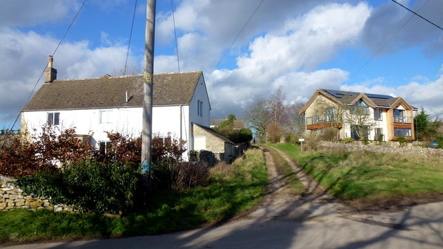
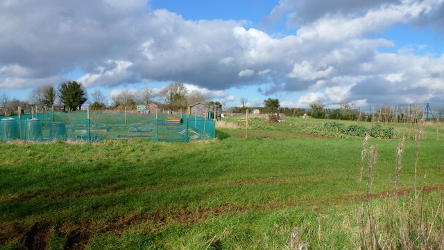
Brook Grove Images

Images are sourced within 2km of 51.74475/-2.1059021 or Grid Reference SO9205. Thanks to Geograph Open Source API. All images are credited.

The end of the lane at Througham Slad Manor According to OS mapping, the public road appears to carry on another 100m or so from this point. However our country landowners would seem to annex a bit of public property by just putting up a PRIVATE sign with NO TURNING BEYOND THIS POINT to drive home the message. No change in road surface though.
I didn't take the car any further.
The end of the lane at Througham Slad Manor
According to OS mapping, the public road appears to carry on another 100m or so from this point. However our country landowners would seem to annex a bit of public property by just putting up a PRIVATE sign with NO TURNING BEYOND THIS POINT to drive home the message. No change in road surface though. I didn't take the car any further.
Limekiln Lane, 1 Heading south-east towards Waterlane. The beech copse surrounds Bisley long barrow.
It's the time of year when beech trees look black against a sunny winter sky.
Limekiln Lane, 1
Heading south-east towards Waterlane. The beech copse surrounds Bisley long barrow. It's the time of year when beech trees look black against a sunny winter sky.
Entrance to Watercombe House Set in a secluded Cotswold valley.
Entrance to Watercombe House
Set in a secluded Cotswold valley.
Approaching Througham Slad Winter sunlight glints off the shiny grey bark of the beeches.
Approaching Througham Slad
Winter sunlight glints off the shiny grey bark of the beeches.
Limekiln Lane, 2 The opposite view to <a href="https://www.geograph.org.uk/photo/4824246">SO9105 : Limekiln Lane, 1</a>.
Limekiln Lane, 2
The opposite view to SO9105 : Limekiln Lane, 1.
Footpath by Bisley barrow The path heads north from Limekiln Lane to Battlescombe.
Footpath by Bisley barrow
The path heads north from Limekiln Lane to Battlescombe.
Private drive, public path The path cuts through to Hyde's Bottom from Limekiln Lane.
Private drive, public path
The path cuts through to Hyde's Bottom from Limekiln Lane.
Lane to Waterlane The shrub with pinky white flowers is a Viburnun sp, possibly V lantana, Wayfaring Tree.
Lane to Waterlane
The shrub with pinky white flowers is a Viburnun sp, possibly V lantana, Wayfaring Tree.
Viburnum lantana by Limekiln Lane Detail of the shrub seen in context in <a href="https://www.geograph.org.uk/photo/5013388">SO9104 : Lane to Waterlane</a>.
Viburnum lantana by Limekiln Lane
Detail of the shrub seen in context in SO9104 : Lane to Waterlane.
Track and footpath Limbricks farm to the right; the footpath heads north to Battlescombe.
Track and footpath
Limbricks farm to the right; the footpath heads north to Battlescombe.
Limbrick's Farm Large Cotswolds farm to the north of Waterlane.
Limbrick's Farm
Large Cotswolds farm to the north of Waterlane.
Track to Rookwoods Limbrick's farm to the left.
Track to Rookwoods
Limbrick's farm to the left.
Dead end lane at Waterlane One of six lanes to radiate out from the junction at the centre of this Cotswolds hamlet.
Dead end lane at Waterlane
One of six lanes to radiate out from the junction at the centre of this Cotswolds hamlet.
Far Oakridge, 1 Cotswolds hamlet on the hillside above the Frome valley.
Far Oakridge, 1
Cotswolds hamlet on the hillside above the Frome valley.
Far Oakridge, 2 This track and bridleway leads north to Waterlane.
Far Oakridge is a Cotswolds hamlet on the hillside above the Frome valley.
Far Oakridge, 2
This track and bridleway leads north to Waterlane. Far Oakridge is a Cotswolds hamlet on the hillside above the Frome valley.
Allotments, Oakridge Look like nice sized plots here.
Allotments, Oakridge
Look like nice sized plots here.
Oakridge recreation ground Facility on the east side of the village.
Oakridge recreation ground
Facility on the east side of the village.
Oakridge A hilltop village that looks as though there is very little planning.
Oakridge
A hilltop village that looks as though there is very little planning.
Show me another place!

Brook Grove is located at Grid Ref: SO9205 (Lat: 51.74475, Lng: -2.1059021)

Administrative County: Gloucestershire

District: Cotswold

Police Authority: Gloucestershire

What 3 Words

///highlighted.icebergs.ballots. Near Chalford, Gloucestershire

Related Wikis

Juniper Hill, Edgeworth

Juniper Hill, Edgeworth (SO928058 and SO928064) is an 11.25-hectare (27.8-acre) biological Site of Special Scientific Interest in Gloucestershire, notified...

Battlescombe

Battlescombe is an area in the village of Bisley in Gloucestershire, England. == References ==

Sapperton Valley

Sapperton Valley (grid reference SO935035) is a 3.7-hectare (9.1-acre) nature reserve near Chalford in the Stroud district of Gloucestershire, England...

Siccaridge Wood

Siccaridge Wood (grid reference SO935035) is a 26.6-hectare (66-acre) nature reserve in Gloucestershire. The site is listed in the ‘Stroud District’ Local...

Oakridge, Gloucestershire

Oakridge is a village in Gloucestershire, England. The parish church is St. Bartholomew's Church. It is just on the outskirts of Stroud, Gloucestershire...

Daneway Banks SSSI

Daneway Banks (grid reference SO937034) is a 17-hectare (42-acre) biological Site of Special Scientific Interest in Gloucestershire, notified in 1954 and...

Daneway House

Daneway House is a grade I listed house in the parish of Bisley-with-Lypiatt but close to Sapperton in Gloucestershire, England.The house was built in...

Edgeworth, Gloucestershire

Edgeworth is a small village and civil parish in the English county of Gloucestershire. It is located east of Stroud, west of Cirencester and south of...

Nearby Amenities

Located within 500m of 51.74475,-2.1059021
Fixme: check connectivity and designations
Lat/Long: 51.7418006/-2.1098081
Barrier: stile
Lat/Long: 51.7430476/-2.1113044
Westwood Farm
Landuse: farm
Note Retag: CS #48756035
Source: OS_OpenData_StreetView
Lat/Long: 51.7456858/-2.0995274
Power: transformer
Lat/Long: 51.7426375/-2.1109415
Power: pole
Lat/Long: 51.7420678/-2.1109871
Natural: spring
Lat/Long: 51.746296/-2.1030568
The data included in this document is from www.openstreetmap.org. The data is made available under ODbL.

Have you been to Brook Grove?

Leave your review of Brook Grove below (or comments, questions and feedback).