Litteridge Wood
Wood, Forest in Gloucestershire Stroud
England
Litteridge Wood
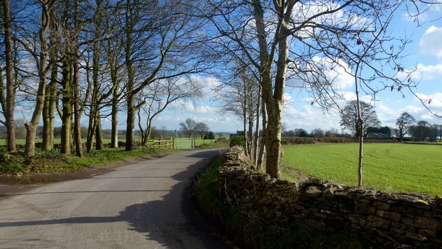
Litteridge Wood is a picturesque woodland located in Gloucestershire, England. It covers an area of approximately 40 hectares and is situated near the village of Chipping Sodbury. The wood is known for its diverse range of flora and fauna, making it a popular destination for nature enthusiasts and wildlife lovers.
The wood is predominantly composed of native broadleaf trees, including oak, beech, and ash. These trees provide a rich habitat for a variety of woodland animals, such as deer, foxes, badgers, and numerous bird species. Additionally, the woodland floor is adorned with a carpet of bluebells during the spring season, creating a stunning sight for visitors.
Litteridge Wood offers several walking trails and paths that allow visitors to explore its beauty. These trails vary in difficulty, catering to both casual walkers and more experienced hikers. Furthermore, the wood has designated picnic areas where visitors can relax and enjoy the tranquil surroundings.
The wood is managed by a local conservation group, ensuring its preservation and protection. They actively work to maintain the woodland's biodiversity and encourage sustainable practices within the area.
Litteridge Wood is not only a haven for wildlife but also serves as an important educational resource. It hosts various educational programs and workshops, teaching visitors about the importance of woodland conservation and the role of forests in the ecosystem.
Overall, Litteridge Wood offers a serene escape from the hustle and bustle of everyday life, providing visitors with a chance to immerse themselves in nature and appreciate the beauty of Gloucestershire's woodlands.
If you have any feedback on the listing, please let us know in the comments section below.
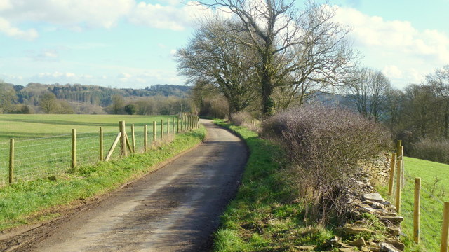
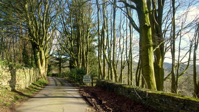
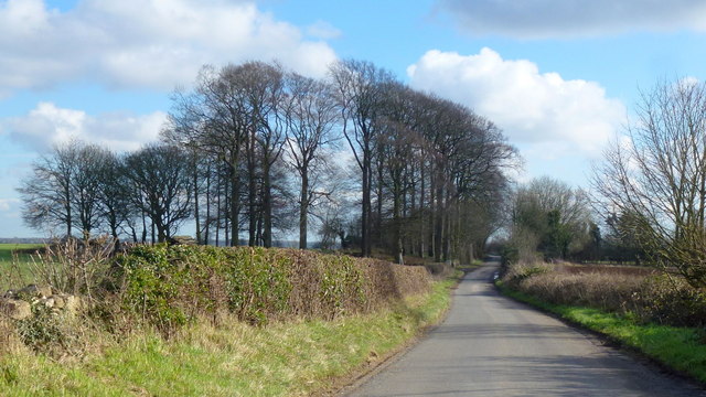
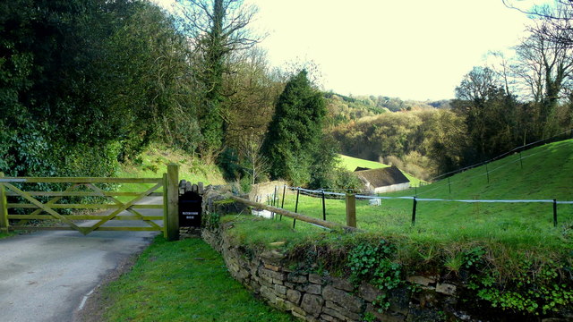
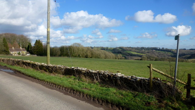
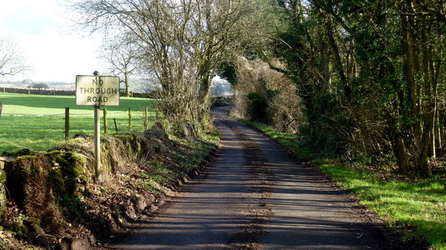
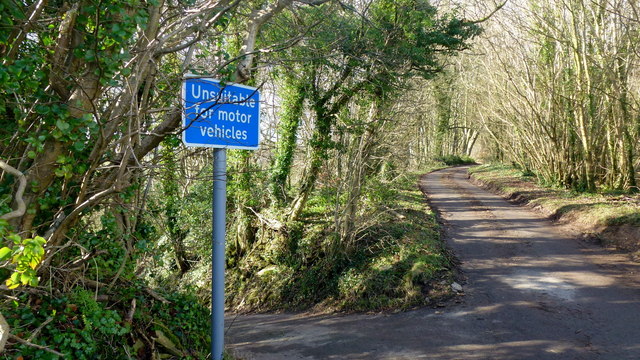
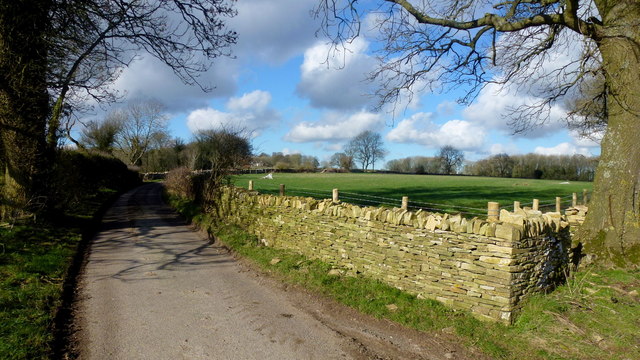
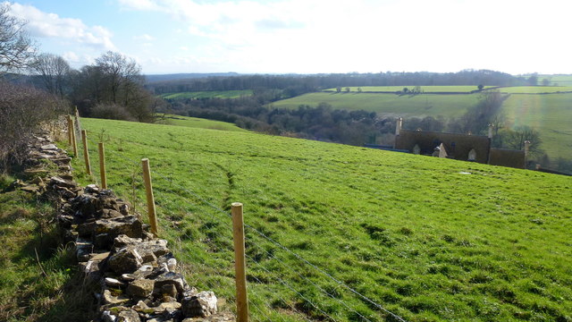
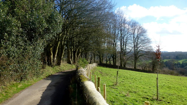
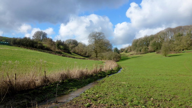
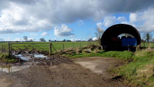
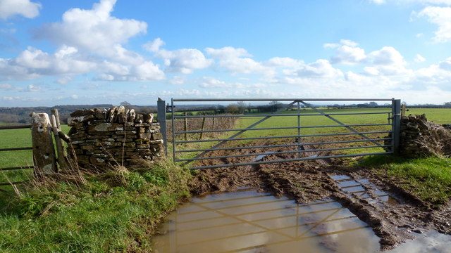
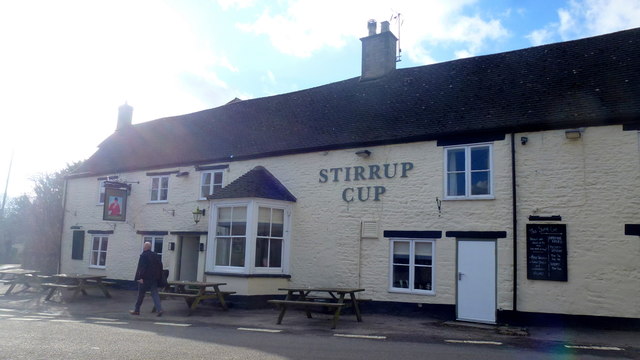
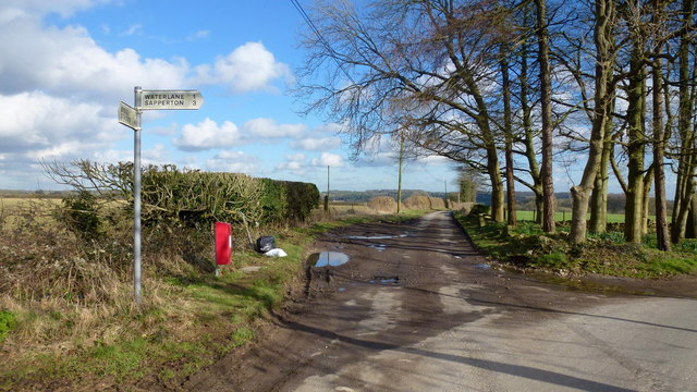
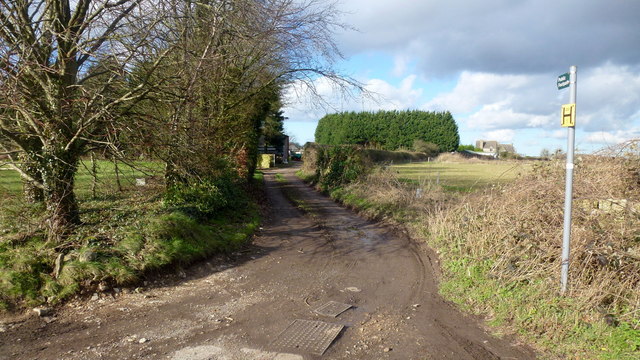
Litteridge Wood Images
Images are sourced within 2km of 51.750784/-2.1152017 or Grid Reference SO9205. Thanks to Geograph Open Source API. All images are credited.

Litteridge Wood is located at Grid Ref: SO9205 (Lat: 51.750784, Lng: -2.1152017)
Administrative County: Gloucestershire
District: Stroud
Police Authority: Gloucestershire
What 3 Words
///await.cookbooks.future. Near Chalford, Gloucestershire
Nearby Locations
Related Wikis

Battlescombe
Battlescombe is an area in the village of Bisley in Gloucestershire, England. == References ==

Juniper Hill, Edgeworth
Juniper Hill, Edgeworth (SO928058 and SO928064) is an 11.25-hectare (27.8-acre) biological Site of Special Scientific Interest in Gloucestershire, notified...

Bisley, Gloucestershire
Bisley is a village and former civil parish, now in the parish of Bisley-with-Lypiatt, in the Stroud district, in Gloucestershire, England, about 4 miles...

Lypiatt
Lypiatt is a small village and former civil parish, now in the parish of Miserden, in the Stroud district, in Gloucestershire, England, approximately 4...

Oakridge, Gloucestershire
Oakridge is a village in Gloucestershire, England. The parish church is St. Bartholomew's Church. It is just on the outskirts of Stroud, Gloucestershire...

Bisley-with-Lypiatt
Bisley-with-Lypiatt is a civil parish in the Stroud district of Gloucestershire, England. It had a population of 2350 in 2019. It includes Bisley, Lypiatt...

Edgeworth, Gloucestershire
Edgeworth is a small village and civil parish in the English county of Gloucestershire. It is located east of Stroud, west of Cirencester and south of...

Sapperton Valley
Sapperton Valley (grid reference SO935035) is a 3.7-hectare (9.1-acre) nature reserve near Chalford in the Stroud district of Gloucestershire, England...
Related Videos
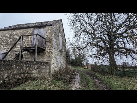
A Morning Walk Under a Grey Blanket of Cloud | COTSWOLDS
So, today we are out and about walking in the Cotswold Hamlet of Far Oakridge, which is one of five hamlets derived from the ...

Walking at First Light Through a Beautiful Cotswold Village
So, today we are out and about walking at very first light in the village Of Bisley which is located around 4 miles east of Stroud in ...

The Hidden Gem of Bisley, ENGLAND: Autumn Walk in the COTSWOLDS
Bisley is a picturesque English village located in the Cotswolds, a designated Area of Outstanding Natural Beauty in England.

Sapperton Short #aerialphotography #canals #canalbridge #aerialvideography #boat #thames #droneshots
What Lies Beneath the Cotswolds - The Sapperton Tunnel To become a member please follow ...
Nearby Amenities
Located within 500m of 51.750784,-2.1152017Have you been to Litteridge Wood?
Leave your review of Litteridge Wood below (or comments, questions and feedback).