Round Grove
Wood, Forest in Gloucestershire Cotswold
England
Round Grove
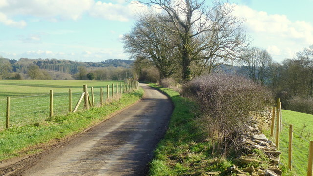
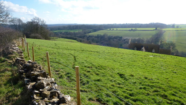
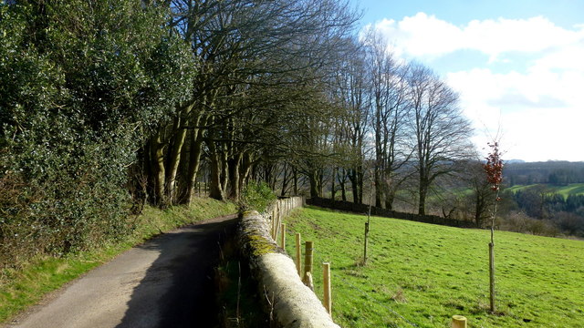
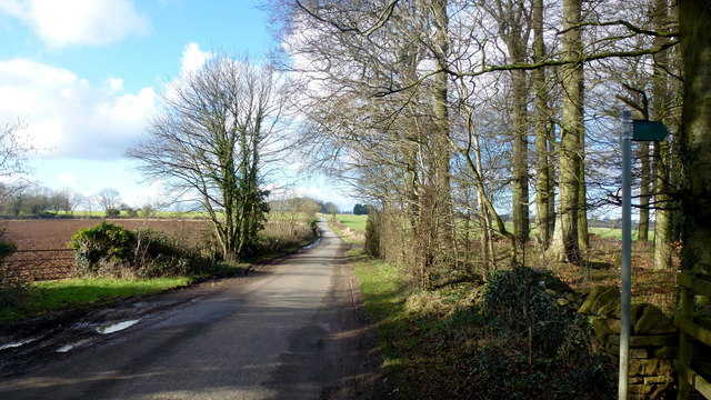
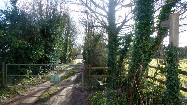
Round Grove is a picturesque woodland located in the county of Gloucestershire, England. Situated near the village of Wood, it is a popular destination for nature enthusiasts and those seeking tranquility amidst lush greenery. The forest covers an area of approximately 100 acres and is known for its diverse range of flora and fauna.
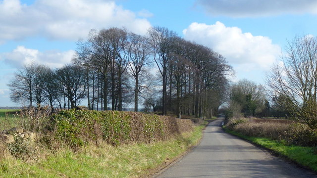
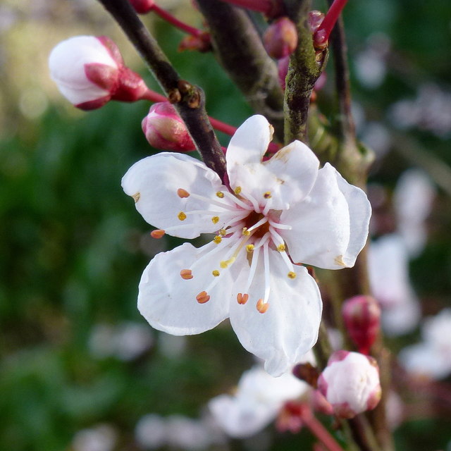
The woodland is predominantly composed of broadleaf trees, including oak, beech, and birch, which create a dense canopy overhead. The forest floor is carpeted with a variety of wildflowers, ferns, and mosses, enhancing the natural beauty of the area. This rich biodiversity provides a habitat for numerous animal species, such as deer, foxes, badgers, and a wide array of birdlife.
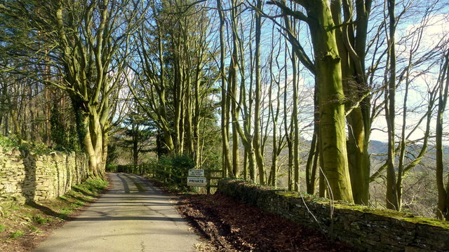
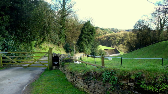
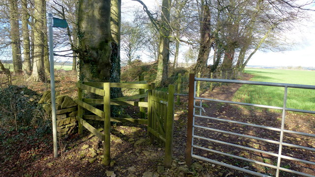
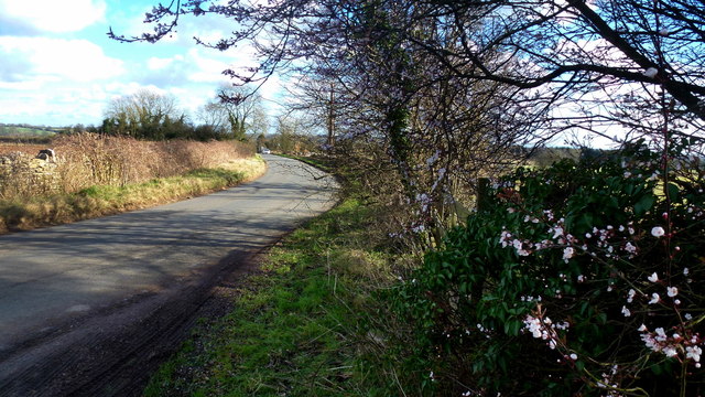
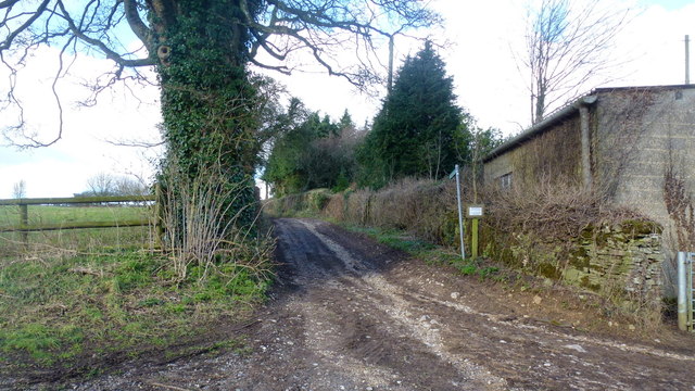
Round Grove offers a network of well-maintained walking trails that wind through the forest, allowing visitors to explore its enchanting beauty at their own pace. The paths meander alongside babbling brooks and small ponds, adding to the peaceful ambiance of the woodland. The area is also home to a number of ancient trees, some of which are believed to be centuries old, creating a sense of history and timelessness.
The forest is a haven for nature photography, with its idyllic landscapes and abundant wildlife providing ample opportunities to capture stunning images. Additionally, Round Grove serves as an outdoor classroom for educational purposes, offering guided tours and nature workshops for schools and organizations interested in learning about the local ecosystem.
In summary, Round Grove is a captivating woodland sanctuary nestled in Gloucestershire, offering a tranquil escape from the hustle and bustle of everyday life. Its natural beauty and diverse wildlife make it a cherished destination for nature lovers and a valuable resource for environmental education.
If you have any feedback on the listing, please let us know in the comments section below.
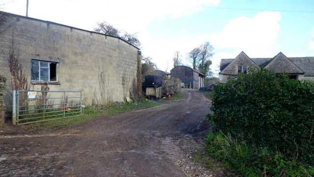
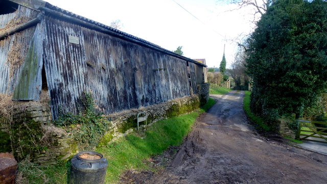
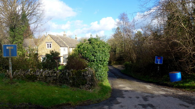
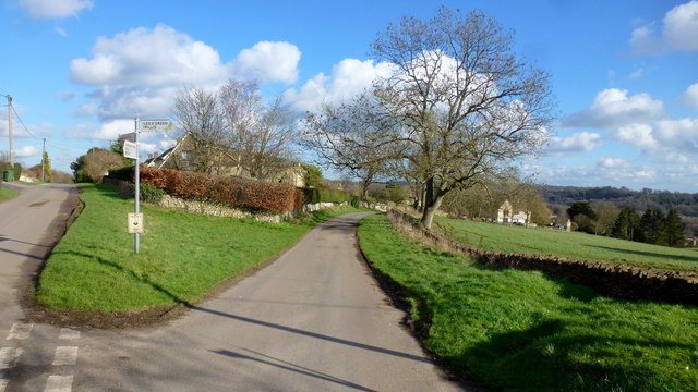
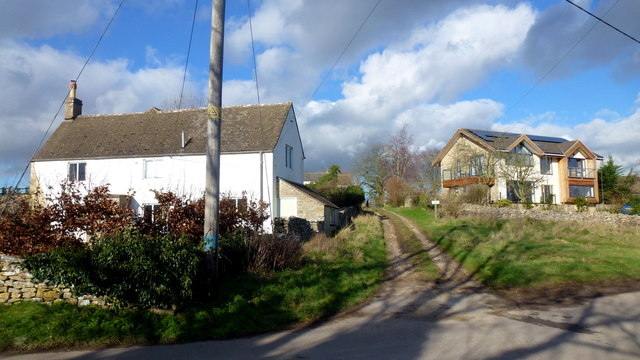
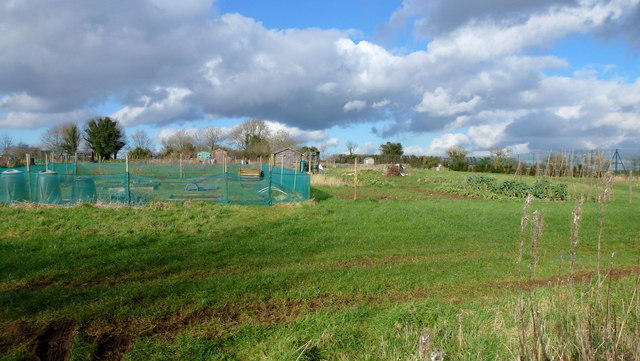
Round Grove Images
Images are sourced within 2km of 51.745497/-2.1049479 or Grid Reference SO9205. Thanks to Geograph Open Source API. All images are credited.
Round Grove is located at Grid Ref: SO9205 (Lat: 51.745497, Lng: -2.1049479)
Administrative County: Gloucestershire
District: Cotswold
Police Authority: Gloucestershire
What 3 Words
///stilted.liberty.rebounder. Near Chalford, Gloucestershire
Nearby Locations
Related Wikis

Juniper Hill, Edgeworth
Juniper Hill, Edgeworth (SO928058 and SO928064) is an 11.25-hectare (27.8-acre) biological Site of Special Scientific Interest in Gloucestershire, notified...

Battlescombe
Battlescombe is an area in the village of Bisley in Gloucestershire, England. == References ==

Sapperton Valley
Sapperton Valley (grid reference SO935035) is a 3.7-hectare (9.1-acre) nature reserve near Chalford in the Stroud district of Gloucestershire, England...

Siccaridge Wood
Siccaridge Wood (grid reference SO935035) is a 26.6-hectare (66-acre) nature reserve in Gloucestershire. The site is listed in the ‘Stroud District’ Local...

Daneway Banks SSSI
Daneway Banks (grid reference SO937034) is a 17-hectare (42-acre) biological Site of Special Scientific Interest in Gloucestershire, notified in 1954 and...

Daneway House
Daneway House is a grade I listed house in the parish of Bisley-with-Lypiatt but close to Sapperton in Gloucestershire, England.The house was built in...

Oakridge, Gloucestershire
Oakridge is a village in Gloucestershire, England. The parish church is St. Bartholomew's Church. It is just on the outskirts of Stroud, Gloucestershire...

Edgeworth, Gloucestershire
Edgeworth is a small village and civil parish in the English county of Gloucestershire. It is located east of Stroud, west of Cirencester and south of...
Related Videos
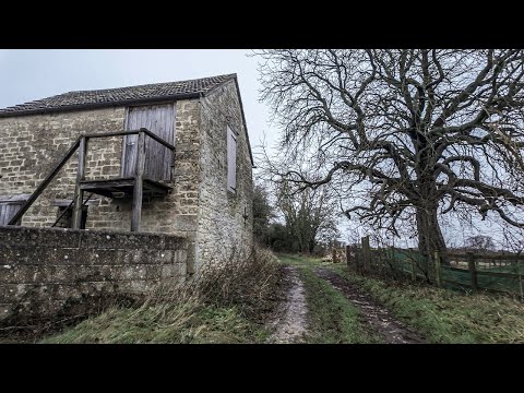
A Morning Walk Under a Grey Blanket of Cloud | COTSWOLDS
So, today we are out and about walking in the Cotswold Hamlet of Far Oakridge, which is one of five hamlets derived from the ...

Walking at First Light Through a Beautiful Cotswold Village
So, today we are out and about walking at very first light in the village Of Bisley which is located around 4 miles east of Stroud in ...


The Hidden Gem of Bisley, ENGLAND: Autumn Walk in the COTSWOLDS
Bisley is a picturesque English village located in the Cotswolds, a designated Area of Outstanding Natural Beauty in England.
Nearby Amenities
Located within 500m of 51.745497,-2.1049479Have you been to Round Grove?
Leave your review of Round Grove below (or comments, questions and feedback).