Madam's Grove
Wood, Forest in Gloucestershire Cotswold
England
Madam's Grove
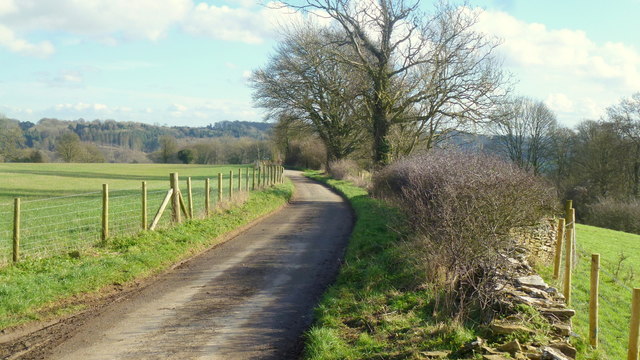
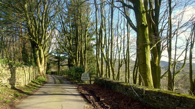
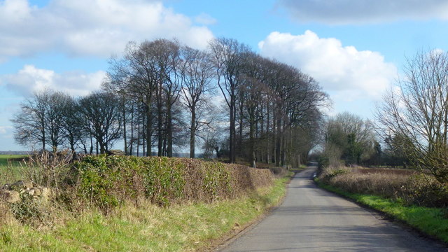
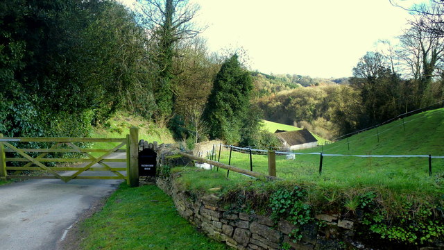
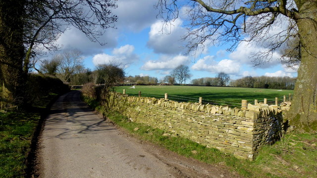
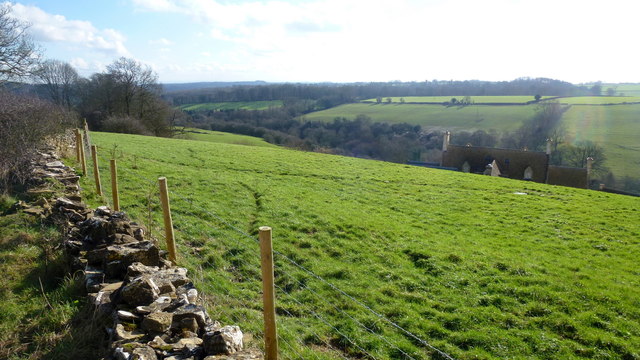
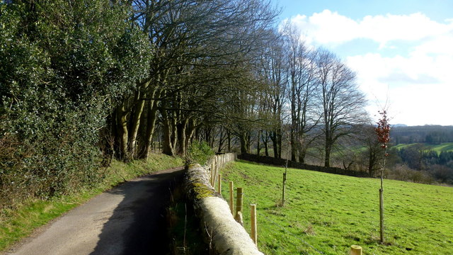
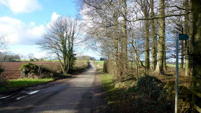
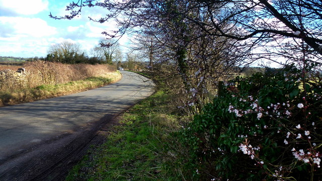
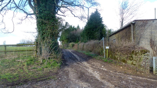
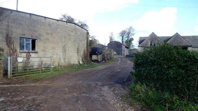
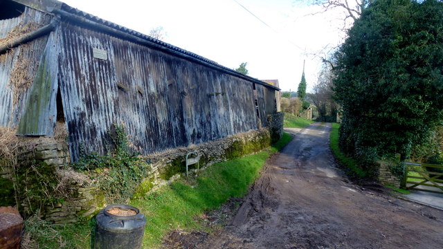
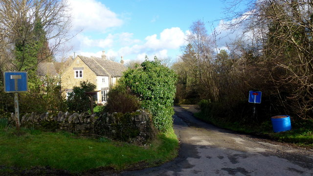
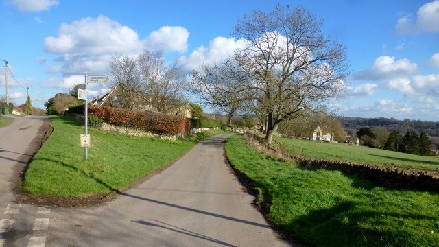
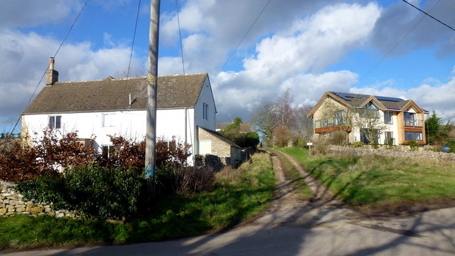
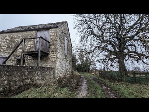
Madam's Grove is a picturesque woodland located in Gloucestershire, England. Nestled within the larger Forest of Dean, it covers an area of approximately 50 acres and is renowned for its natural beauty and diverse ecosystem.
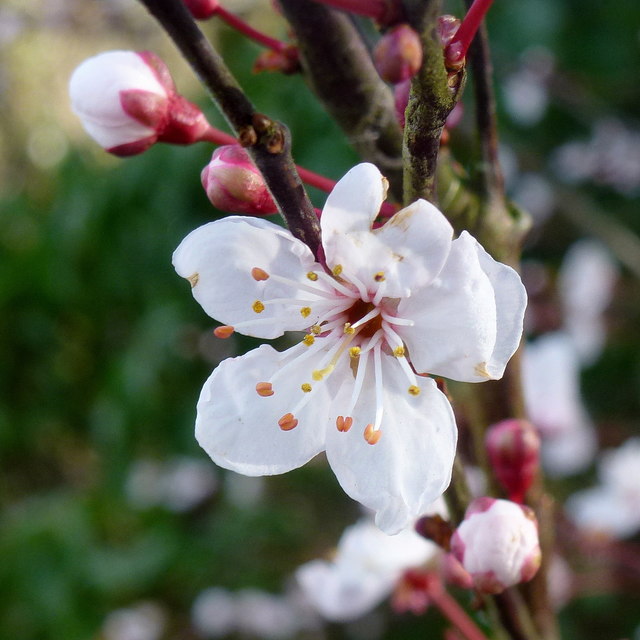
The grove is characterized by its dense canopy of ancient oak trees, which provide a haven for a wide range of wildlife species. It is home to several rare and protected species, including the lesser spotted woodpecker, dormouse, and silver-washed fritillary butterfly. The woodland floor is carpeted with a rich variety of wildflowers, such as bluebells, primroses, and wood anemones, creating a vibrant and colorful display during the spring season.
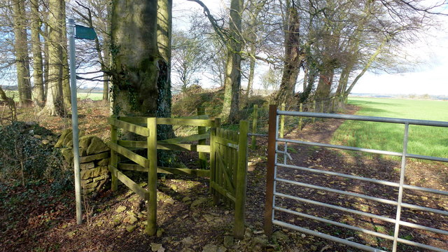
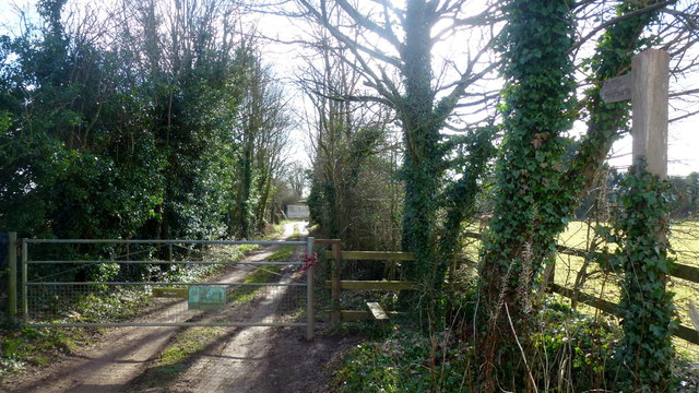
Madam's Grove offers a network of well-maintained footpaths and trails, allowing visitors to explore its enchanting surroundings. The paths wind their way through the woodland, offering opportunities for leisurely walks, birdwatching, and photography. The grove is also a popular spot for nature enthusiasts, who can often be found engaging in activities such as tree identification, fungi spotting, and insect observation.
The grove has a fascinating history, with some parts dating back hundreds of years. It is said to have been named after a mysterious woman known as Madam, who was believed to have lived in the area many centuries ago. Local folklore tells tales of her healing powers and her deep connection to the forest.
Madam's Grove is a cherished natural treasure in Gloucestershire, providing a tranquil and idyllic setting for both locals and tourists to immerse themselves in the beauty of nature.
If you have any feedback on the listing, please let us know in the comments section below.
Madam's Grove Images
Images are sourced within 2km of 51.748275/-2.1059538 or Grid Reference SO9205. Thanks to Geograph Open Source API. All images are credited.
Madam's Grove is located at Grid Ref: SO9205 (Lat: 51.748275, Lng: -2.1059538)
Administrative County: Gloucestershire
District: Cotswold
Police Authority: Gloucestershire
What 3 Words
///beam.lifeboats.extreme. Near Chalford, Gloucestershire
Nearby Locations
Related Wikis

Juniper Hill, Edgeworth
Juniper Hill, Edgeworth (SO928058 and SO928064) is an 11.25-hectare (27.8-acre) biological Site of Special Scientific Interest in Gloucestershire, notified...

Battlescombe
Battlescombe is an area in the village of Bisley in Gloucestershire, England. == References ==

Edgeworth, Gloucestershire
Edgeworth is a small village and civil parish in the English county of Gloucestershire. It is located east of Stroud, west of Cirencester and south of...

Church of St Mary, Edgeworth
The Anglican Church of St Mary at Edgeworth in the Cotswold District of Gloucestershire, England was built in 11th century. It is a grade I listed building...

Sapperton Valley
Sapperton Valley (grid reference SO935035) is a 3.7-hectare (9.1-acre) nature reserve near Chalford in the Stroud district of Gloucestershire, England...

Siccaridge Wood
Siccaridge Wood (grid reference SO935035) is a 26.6-hectare (66-acre) nature reserve in Gloucestershire. The site is listed in the ‘Stroud District’ Local...

Edgeworth Manor
Edgeworth Manor is a Grade II* listed country house in Edgeworth, Gloucestershire, England. It was mentioned in the Domesday Book, when it was held by...

Oakridge, Gloucestershire
Oakridge is a village in Gloucestershire, England. The parish church is St. Bartholomew's Church. It is just on the outskirts of Stroud, Gloucestershire...
Related Videos
A Morning Walk Under a Grey Blanket of Cloud | COTSWOLDS
So, today we are out and about walking in the Cotswold Hamlet of Far Oakridge, which is one of five hamlets derived from the ...

Walking at First Light Through a Beautiful Cotswold Village
So, today we are out and about walking at very first light in the village Of Bisley which is located around 4 miles east of Stroud in ...

The Hidden Gem of Bisley, ENGLAND: Autumn Walk in the COTSWOLDS
Bisley is a picturesque English village located in the Cotswolds, a designated Area of Outstanding Natural Beauty in England.

Sapperton Short #aerialphotography #canals #canalbridge #aerialvideography #boat #thames #droneshots
What Lies Beneath the Cotswolds - The Sapperton Tunnel To become a member please follow ...
Nearby Amenities
Located within 500m of 51.748275,-2.1059538Have you been to Madam's Grove?
Leave your review of Madam's Grove below (or comments, questions and feedback).