Horseground Coppice

Wood, Forest in Dorset

England

Horseground Coppice

Path heading towards Kimmeridge Path going along across Smedmore Hill heading towards Kimmeridge
Path heading towards Kimmeridge Credit: Shaun Ferguson

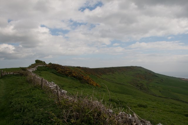
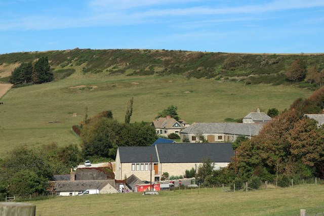
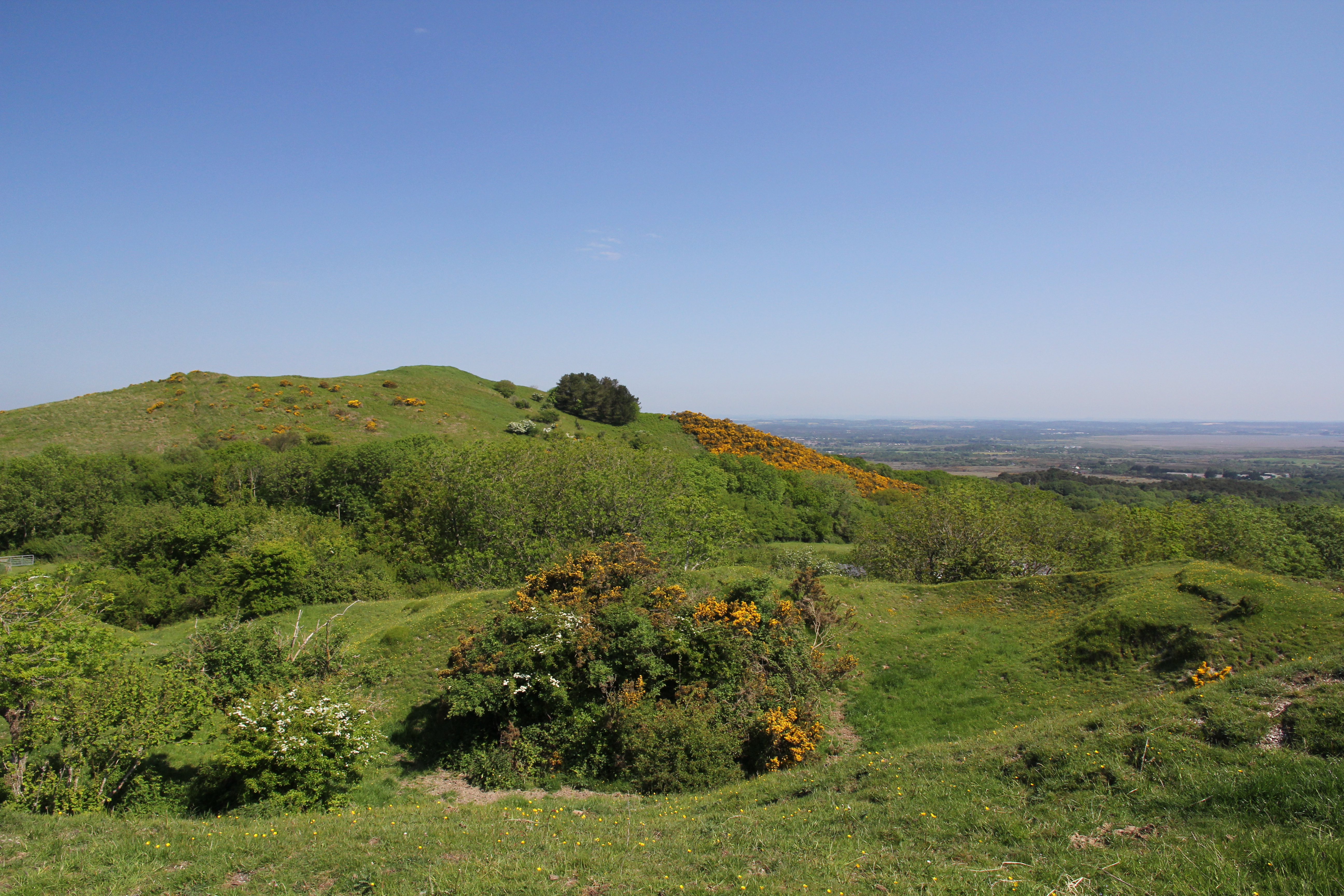
Horseground Coppice is a picturesque woodland located in the county of Dorset, England. Covering an area of approximately 30 acres, it is a popular destination for nature enthusiasts and those seeking tranquility amidst nature's beauty.

The coppice is characterized by a rich diversity of flora and fauna, showcasing the vibrant ecosystem of the region. The woodland is primarily composed of native broadleaf trees, including oak, ash, and beech, providing a lush canopy that offers shade and shelter to various wildlife species.

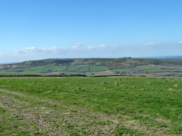
Exploring Horseground Coppice offers visitors a chance to witness the changing seasons and the consequent transformation of the woodland. In spring, the forest floor comes alive with a colorful carpet of wildflowers, such as bluebells and primroses. During summer, the canopy provides a cool retreat from the heat, while autumn showcases a stunning display of foliage in shades of gold, orange, and red. In winter, the bare branches create a unique stark beauty, allowing for uninterrupted views across the woodland.

The coppice is also home to a variety of wildlife, including deer, foxes, badgers, and numerous bird species. Birdwatchers can spot woodpeckers, owls, and various songbirds throughout the year. Additionally, the woodland is frequented by butterflies, bees, and other insects, making it a haven for nature lovers and photographers.

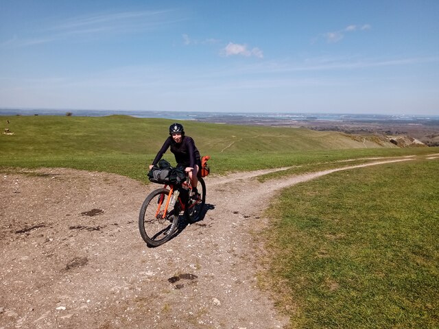
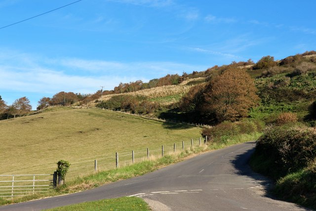
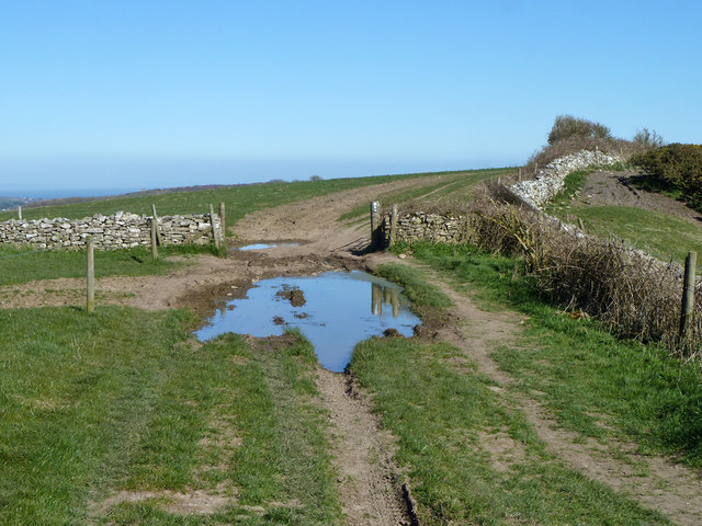
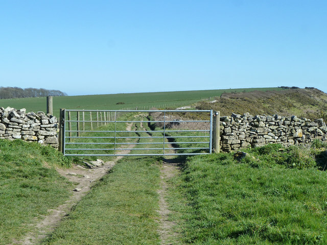
Horseground Coppice is easily accessible, with well-maintained footpaths and trails that allow visitors to explore the woodland at their own pace. The peaceful atmosphere, coupled with the breathtaking natural beauty, makes it an ideal location for a leisurely walk, picnic, or even a spot of birdwatching.

If you have any feedback on the listing, please let us know in the comments section below.

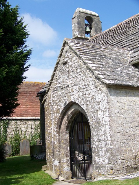
Horseground Coppice Images

Images are sourced within 2km of 50.632458/-2.103391 or Grid Reference SY9281. Thanks to Geograph Open Source API. All images are credited.

Path heading towards Kimmeridge Path going along across Smedmore Hill heading towards Kimmeridge
Path heading towards Kimmeridge
Path going along across Smedmore Hill heading towards Kimmeridge
Bikepacker on the Ridgeway Photo captured at 14:58 during a 2 day bikepacking trip following the 'Purbeck Bimble' route from Bikepacking.com.
Bikepacker on the Ridgeway
Photo captured at 14:58 during a 2 day bikepacking trip following the 'Purbeck Bimble' route from Bikepacking.com.
St. Peter's, Church Knowle, Dorset The 14th Century tower and porch.
St. Peter's, Church Knowle, Dorset
The 14th Century tower and porch.
St. Peter's, Church Knowle, Dorset Original 13th Century South Transept.
St. Peter's, Church Knowle, Dorset
Original 13th Century South Transept.
St. Peter's, Church Knowle, Dorset The Nave
St. Peter's, Church Knowle, Dorset
The Nave
St. Peter's, Church Knowle, Dorset The 13th Century Chancel and Apse.
St. Peter's, Church Knowle, Dorset
The 13th Century Chancel and Apse.
The ridge of Smedmore Hill
Clavell's Restaurant, Kimmerridge
Lane from Kimmerridge
Puddle and gateway on track to Swyre Head
View north-west from Smedmore Hill From a limestone ridge to a chalk ridge.
View north-west from Smedmore Hill
From a limestone ridge to a chalk ridge.
Track towards Swyre Head A muck heap on the left.
Track towards Swyre Head
A muck heap on the left.
Gate on track towards Swyre Head A public route, the gate is not locked.
Gate on track towards Swyre Head
A public route, the gate is not locked.
Kimmeridge Just off the South West Coastal Path along Dorset's Jurassic Coast.
Kimmeridge
Just off the South West Coastal Path along Dorset's Jurassic Coast.
Smedmore Hill Smedmore Hill, seen on the right in this photograph, is sometimes used by hang gliders who can gain access to the top of the ridge by a track leading from the Kimmeridge road. Smedmore House can be seen below the hill and is currently open to the public on a very occasional basis.
Smedmore Hill
Smedmore Hill, seen on the right in this photograph, is sometimes used by hang gliders who can gain access to the top of the ridge by a track leading from the Kimmeridge road. Smedmore House can be seen below the hill and is currently open to the public on a very occasional basis.
Kimmeridge: parish church of St. Nicholas A little parish church of 1872, apart from the 12th-century doorway.
Kimmeridge: parish church of St. Nicholas
A little parish church of 1872, apart from the 12th-century doorway.
St Nicholas' Church, Kimmeridge Although Kimmeridge Church was largely rebuilt in 1872, one can assume that its outward appearance has not greatly changed since the building of the original Norman building.
St Nicholas' Church, Kimmeridge
Although Kimmeridge Church was largely rebuilt in 1872, one can assume that its outward appearance has not greatly changed since the building of the original Norman building.
Porch and bell-cote, St Nicholas' Church, Kimmeridge The bell-cote and bell are 15th century.  The porch leads to a 12th century doorway.
Porch and bell-cote, St Nicholas' Church, Kimmeridge
The bell-cote and bell are 15th century. The porch leads to a 12th century doorway.
Show me another place!

Horseground Coppice is located at Grid Ref: SY9281 (Lat: 50.632458, Lng: -2.103391)

Unitary Authority: Dorset

Police Authority: Dorset

What 3 Words

///fabricate.reds.measures. Near Corfe Castle, Dorset

Related Wikis

Barnston Manor

Barnston Manor is a 13th-century manor house and farm near Church Knowle in Dorset, England. The house is a Grade I listed building, and some farm buildings...

Stonehill Down Nature Reserve

The Stonehill Down Nature Reserve is a downland nature reserve on the Purbeck Hills in the county of Dorset, England. It is managed by the Dorset Wildlife...
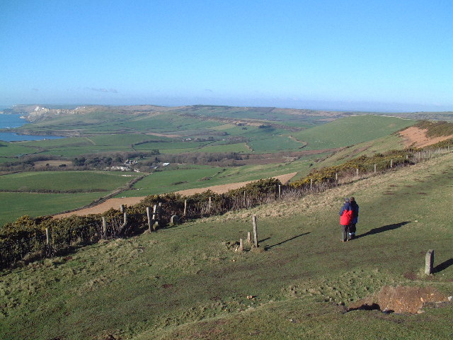
Purbeck Hills

The Purbeck Hills, also called the Purbeck Ridge or simply the Purbecks, are a ridge of chalk downs in Dorset, England. It is formed by the structure known...

Creech Barrow Hill

Creech Barrow Hill is a steep, conical hill, 193 metres (633 ft) (one source 637 feet) high, near the coast of Dorset, England, and the highest point of...

East Creech

East Creech is a hamlet in the parish of Church Knowle in the county of Dorset, England. East Creech lies at the northern foot of the Purbeck Hills about...
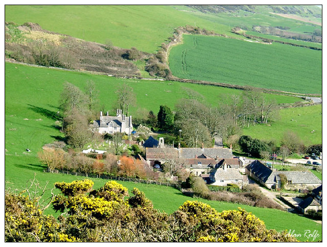
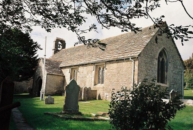
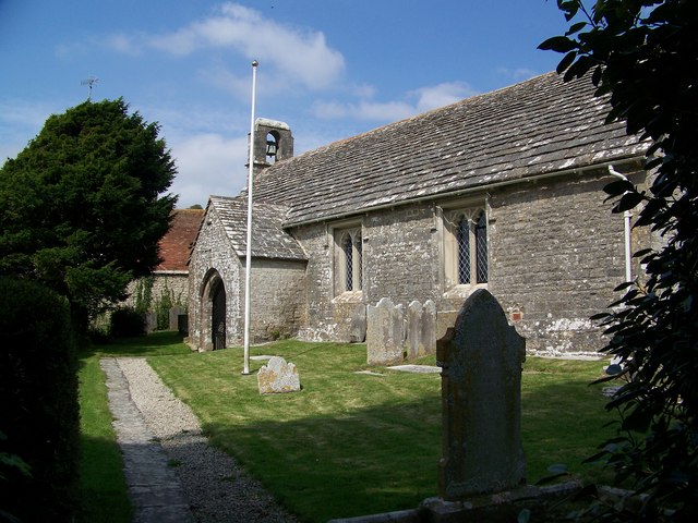
Church Knowle

Church Knowle is a village and civil parish on the Isle of Purbeck in the county of Dorset in the south of England. Church Knowle village is situated about...

Ridgeway Hill

Ridgeway Hill, also referred to as Grange Hill or Steeple Hill, is the third highest point of the Purbeck Hills in the county of Dorset standing at 199...

Grange Arch

Grange Arch, also known as Creech Folly, is an 18th-century folly that is located near the second highest point of the Purbeck Hills, Ridgeway Hill (199...

Nearby Amenities

Located within 500m of 50.632458,-2.103391
Material: wood
Power: pole
Source: bing
Transformer: distribution
Lat/Long: 50.6302555/-2.1094211
Material: wood
Power: pole
Source: bing
Lat/Long: 50.6295988/-2.0983552
Material: wood
Power: pole
Source: bing
Lat/Long: 50.6301038/-2.0986177
Material: wood
Power: pole
Source: bing
Lat/Long: 50.6306171/-2.0988694
Material: wood
Power: pole
Source: bing
Lat/Long: 50.6311414/-2.0991275
Material: wood
Power: pole
Source: bing
Lat/Long: 50.6317304/-2.099607
Material: wood
Power: pole
Source: bing
Lat/Long: 50.6323771/-2.1001537
Material: wood
Power: pole
Source: bing
Lat/Long: 50.6330153/-2.1006971
Material: wood
Power: pole
Source: bing
Lat/Long: 50.6335057/-2.1003658
Material: wood
Power: pole
Source: bing
Lat/Long: 50.634179/-2.0998994
Material: wood
Power: pole
Source: bing
Lat/Long: 50.6347773/-2.099491
Material: wood
Power: pole
Source: bing
Lat/Long: 50.635512/-2.0989898
Barnston Farm
Place: farm
Lat/Long: 50.6342914/-2.0976474
The data included in this document is from www.openstreetmap.org. The data is made available under ODbL.

Have you been to Horseground Coppice?

Leave your review of Horseground Coppice below (or comments, questions and feedback).