Yellow Withy Bed

Wood, Forest in Dorset

England

Yellow Withy Bed

Bikepacker on the Ridgeway Photo captured at 14:58 during a 2 day bikepacking trip following the 'Purbeck Bimble' route from Bikepacking.com.
Bikepacker on the Ridgeway Credit: Calum Rogers

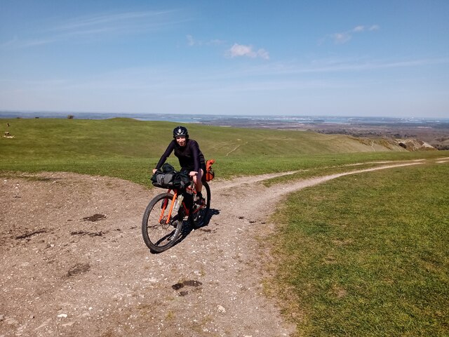
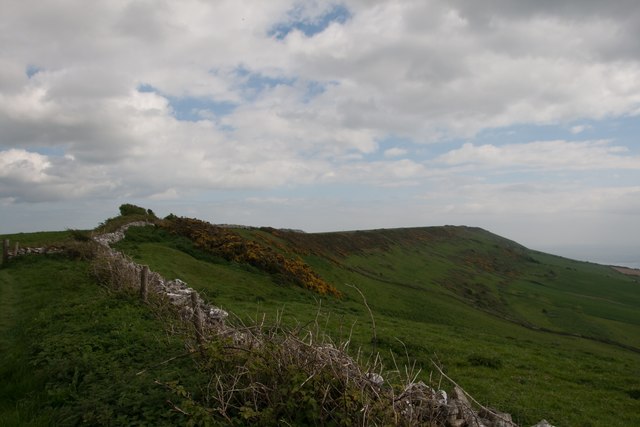
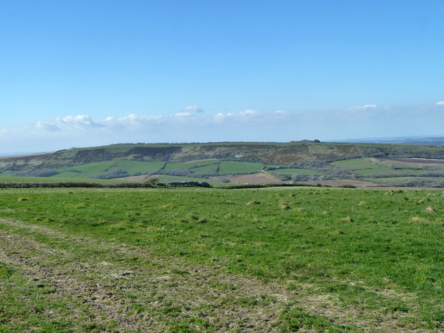
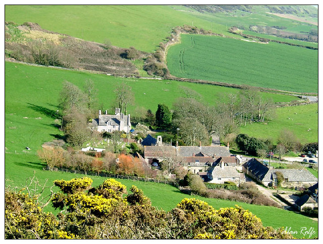
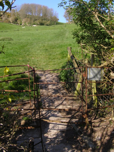
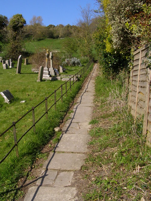
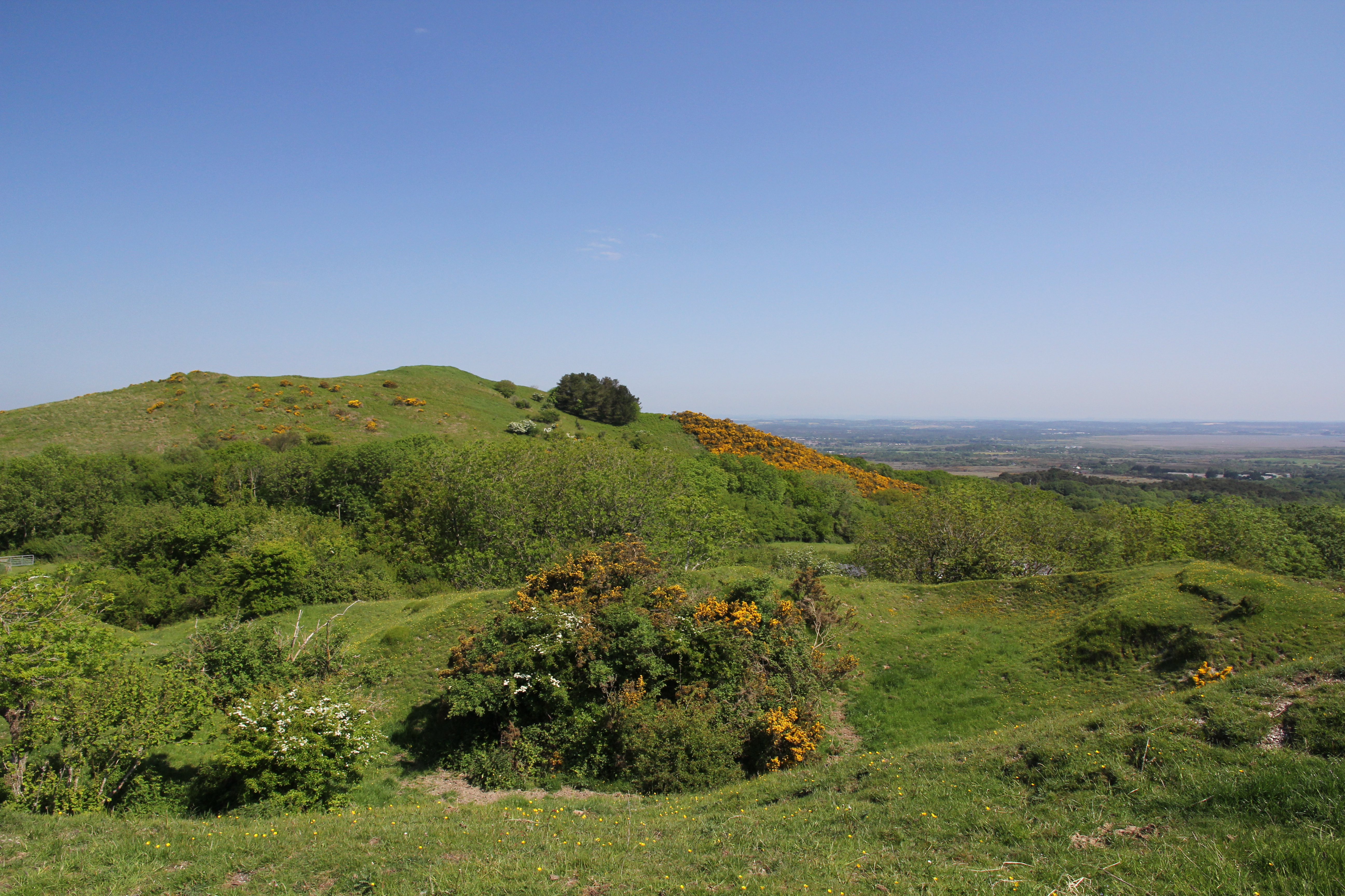
Yellow Withy Bed is a dense woodland located in Dorset, England. Spanning an area of approximately 200 acres, it is a prominent feature of the local landscape. The woodland is primarily composed of withy trees, which are a type of willow tree known for their slender and flexible branches.

The name "Yellow Withy Bed" is derived from the vibrant yellow color of the withy trees in autumn when their leaves change hues. This seasonal transformation adds to the picturesque beauty of the woodland. The forest floor is covered with a rich carpet of fallen leaves, creating a stunning contrast against the bright yellow foliage.

The woodland is home to a diverse range of flora and fauna. Many species of birds, including woodpeckers and song thrushes, can be found nesting and foraging in the trees. Additionally, small mammals such as squirrels and rabbits can be spotted scurrying among the undergrowth.

Yellow Withy Bed offers a variety of recreational opportunities for visitors. There are well-maintained walking trails that wind through the forest, allowing visitors to explore the natural beauty of the area. The woodland is also popular among nature enthusiasts, birdwatchers, and photographers, who are attracted by its serene atmosphere and stunning views.

Overall, Yellow Withy Bed in Dorset is a captivating woodland that showcases the beauty of nature. With its vibrant yellow foliage, diverse wildlife, and recreational opportunities, it is a cherished natural asset to the local community and a destination for nature lovers from near and far.

If you have any feedback on the listing, please let us know in the comments section below.

Yellow Withy Bed Images

Images are sourced within 2km of 50.633734/-2.1037755 or Grid Reference SY9281. Thanks to Geograph Open Source API. All images are credited.

Bikepacker on the Ridgeway Photo captured at 14:58 during a 2 day bikepacking trip following the 'Purbeck Bimble' route from Bikepacking.com.
Bikepacker on the Ridgeway
Photo captured at 14:58 during a 2 day bikepacking trip following the 'Purbeck Bimble' route from Bikepacking.com.
St. Peter's, Church Knowle, Dorset The 14th Century tower and porch.
St. Peter's, Church Knowle, Dorset
The 14th Century tower and porch.
St. Peter's, Church Knowle, Dorset Original 13th Century South Transept.
St. Peter's, Church Knowle, Dorset
Original 13th Century South Transept.
St. Peter's, Church Knowle, Dorset The Nave
St. Peter's, Church Knowle, Dorset
The Nave
St. Peter's, Church Knowle, Dorset The 13th Century Chancel and Apse.
St. Peter's, Church Knowle, Dorset
The 13th Century Chancel and Apse.
The ridge of Smedmore Hill
View north-west from Smedmore Hill From a limestone ridge to a chalk ridge.
View north-west from Smedmore Hill
From a limestone ridge to a chalk ridge.
Kimmeridge Just off the South West Coastal Path along Dorset's Jurassic Coast.
Kimmeridge
Just off the South West Coastal Path along Dorset's Jurassic Coast.
Kimmeridge: parish church of St. Nicholas A little parish church of 1872, apart from the 12th-century doorway.
Kimmeridge: parish church of St. Nicholas
A little parish church of 1872, apart from the 12th-century doorway.
St Nicholas' Church, Kimmeridge Although Kimmeridge Church was largely rebuilt in 1872, one can assume that its outward appearance has not greatly changed since the building of the original Norman building.
St Nicholas' Church, Kimmeridge
Although Kimmeridge Church was largely rebuilt in 1872, one can assume that its outward appearance has not greatly changed since the building of the original Norman building.
Porch and bell-cote, St Nicholas' Church, Kimmeridge The bell-cote and bell are 15th century.  The porch leads to a 12th century doorway.
Porch and bell-cote, St Nicholas' Church, Kimmeridge
The bell-cote and bell are 15th century. The porch leads to a 12th century doorway.
The font at St Nicholas' Church, Kimmeridge The font is a rough circular stone bowl, set on a modern stem and base.  This, presumably the original font of the church, appears to have been replaced in the 19th century by another, described by an architect as being "extremely ugly and utterly unsuitable for its purpose".  However, in about 1920, two men working for a local farmer found the present font in a ditch which they were digging out near the bottom of the village.  It was replaced in the church, and the other is believed to have become a bird-bath.
The font at St Nicholas' Church, Kimmeridge
The font is a rough circular stone bowl, set on a modern stem and base. This, presumably the original font of the church, appears to have been replaced in the 19th century by another, described by an architect as being "extremely ugly and utterly unsuitable for its purpose". However, in about 1920, two men working for a local farmer found the present font in a ditch which they were digging out near the bottom of the village. It was replaced in the church, and the other is believed to have become a bird-bath.
Churchyard and parsonage, Kimmeridge There are a number of very old tombs and gravestones within the churchyard.
Churchyard and parsonage, Kimmeridge
There are a number of very old tombs and gravestones within the churchyard.
Gate from the churchyard to the parsonage, Kimmeridge
East Window, St Nicholas' Church, Kimmeridge The colourful early 20th century East Window is the work of C E Kempe, and is in memory of Colonel Mansel and his wife who both died in 1896.
East Window, St Nicholas' Church, Kimmeridge
The colourful early 20th century East Window is the work of C E Kempe, and is in memory of Colonel Mansel and his wife who both died in 1896.
Local Produce, Kimmeridge
Footpath leaving Kimmeridge A paved path leads up the east side of the churchyard and out through the gate in the foreground into the field. The footpath leads up to the junction of lanes at the saddle/pass above the village, next to the disused quarry. This public right of way was, long ago, the main route out of the village. The way carried on past what is now Hyde Wood, past the Harp Stone and on over the chalk ridge to Creech. The more modern, and less steep road in and out of Kimmeridge is to the east, and has a hairpin bend at the junction with the track to Smedmore House.
Footpath leaving Kimmeridge
A paved path leads up the east side of the churchyard and out through the gate in the foreground into the field. The footpath leads up to the junction of lanes at the saddle/pass above the village, next to the disused quarry. This public right of way was, long ago, the main route out of the village. The way carried on past what is now Hyde Wood, past the Harp Stone and on over the chalk ridge to Creech. The more modern, and less steep road in and out of Kimmeridge is to the east, and has a hairpin bend at the junction with the track to Smedmore House.
Footpath east of the church, Kimmeridge This paved footpath leads north out of Kimmeridge, along the eastern edge of the churchyard. The graves alongside the path seem to be mainly of the Mansell family,  who inherited the Smedmore estate from the Clavels in the 1830s.
Footpath east of the church, Kimmeridge
This paved footpath leads north out of Kimmeridge, along the eastern edge of the churchyard. The graves alongside the path seem to be mainly of the Mansell family, who inherited the Smedmore estate from the Clavels in the 1830s.
Show me another place!

Yellow Withy Bed is located at Grid Ref: SY9281 (Lat: 50.633734, Lng: -2.1037755)

Unitary Authority: Dorset

Police Authority: Dorset

What 3 Words

///landscape.hung.nests. Near Corfe Castle, Dorset

Related Wikis

Barnston Manor

Barnston Manor is a 13th-century manor house and farm near Church Knowle in Dorset, England. The house is a Grade I listed building, and some farm buildings...

Stonehill Down Nature Reserve

The Stonehill Down Nature Reserve is a downland nature reserve on the Purbeck Hills in the county of Dorset, England. It is managed by the Dorset Wildlife...

Purbeck Hills

The Purbeck Hills, also called the Purbeck Ridge or simply the Purbecks, are a ridge of chalk downs in Dorset, England. It is formed by the structure known...

Creech Barrow Hill

Creech Barrow Hill is a steep, conical hill, 193 metres (633 ft) (one source 637 feet) high, near the coast of Dorset, England, and the highest point of...

East Creech

East Creech is a hamlet in the parish of Church Knowle in the county of Dorset, England. East Creech lies at the northern foot of the Purbeck Hills about...

Church Knowle

Church Knowle is a village and civil parish on the Isle of Purbeck in the county of Dorset in the south of England. Church Knowle village is situated about...

Ridgeway Hill

Ridgeway Hill, also referred to as Grange Hill or Steeple Hill, is the third highest point of the Purbeck Hills in the county of Dorset standing at 199...

Grange Arch

Grange Arch, also known as Creech Folly, is an 18th-century folly that is located near the second highest point of the Purbeck Hills, Ridgeway Hill (199...

Nearby Amenities

Located within 500m of 50.633734,-2.1037755
Material: wood
Power: pole
Source: bing
Lat/Long: 50.6306171/-2.0988694
Material: wood
Power: pole
Source: bing
Lat/Long: 50.6311414/-2.0991275
Material: wood
Power: pole
Source: bing
Lat/Long: 50.6317304/-2.099607
Material: wood
Power: pole
Source: bing
Lat/Long: 50.6323771/-2.1001537
Material: wood
Power: pole
Source: bing
Lat/Long: 50.6330153/-2.1006971
Material: wood
Power: pole
Source: bing
Lat/Long: 50.6335057/-2.1003658
Material: wood
Power: pole
Source: bing
Lat/Long: 50.634179/-2.0998994
Material: wood
Power: pole
Source: bing
Lat/Long: 50.6347773/-2.099491
Material: wood
Power: pole
Source: bing
Lat/Long: 50.635512/-2.0989898
Material: wood
Power: pole
Source: bing
Lat/Long: 50.6361037/-2.0986058
Barnston Farm
Place: farm
Lat/Long: 50.6342914/-2.0976474
The data included in this document is from www.openstreetmap.org. The data is made available under ODbL.

Have you been to Yellow Withy Bed?

Leave your review of Yellow Withy Bed below (or comments, questions and feedback).