Woolland Grove
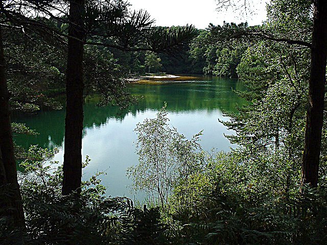
Wood, Forest in Dorset
England
Woolland Grove

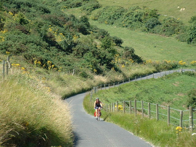
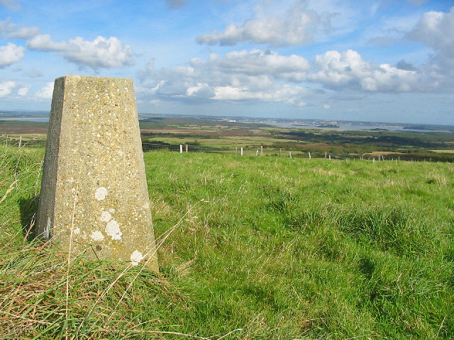
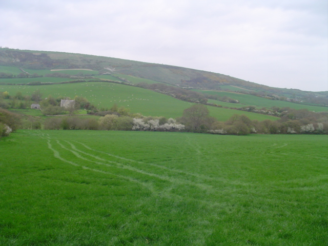
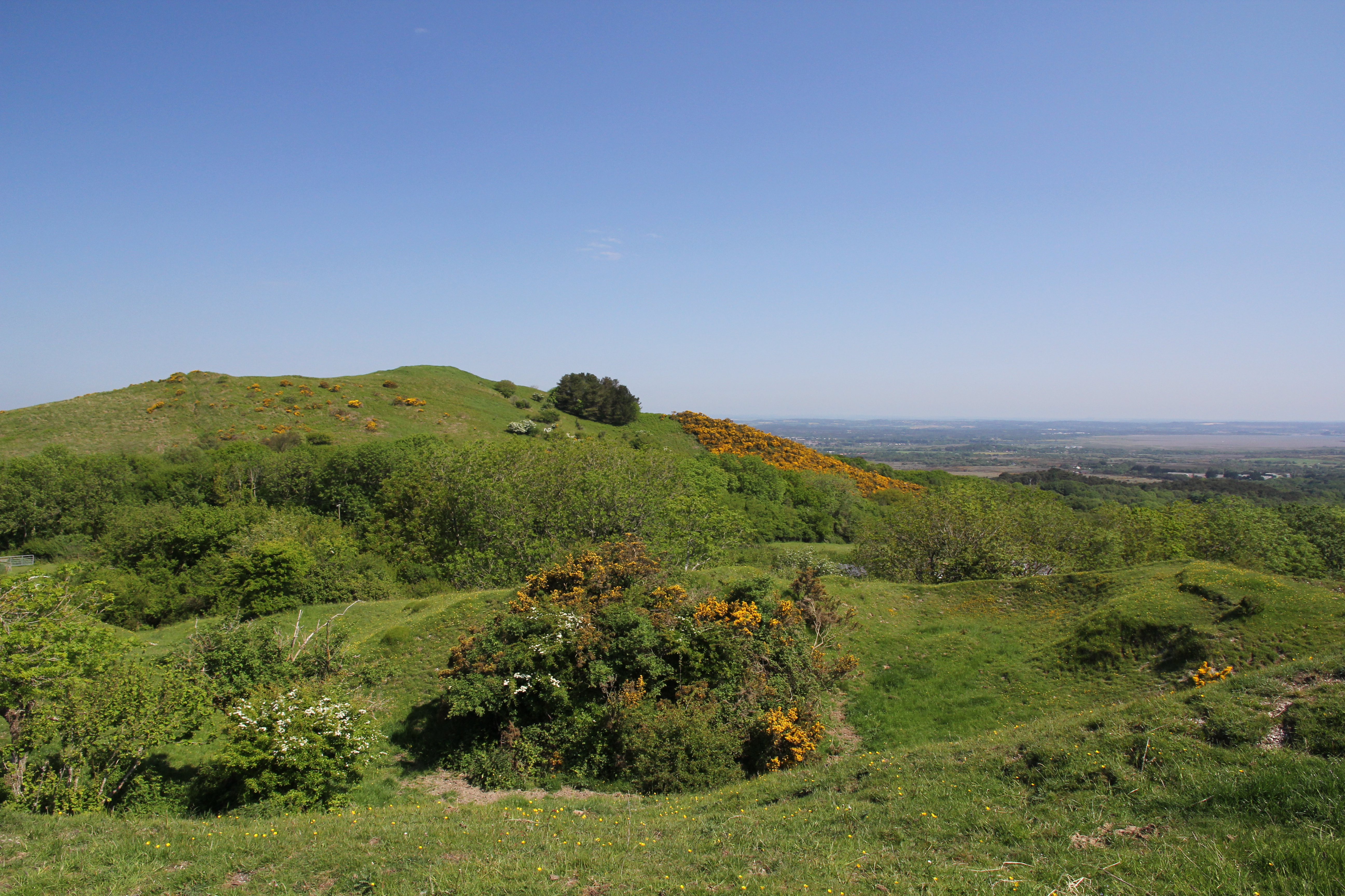
Woolland Grove is a picturesque village located in the county of Dorset, England. Known for its abundant woodlands and lush forests, this idyllic rural settlement offers a tranquil retreat away from the hustle and bustle of city life. Situated amidst the rolling hills of the Dorset Downs, Woolland Grove is a haven for nature enthusiasts and outdoor adventurers.
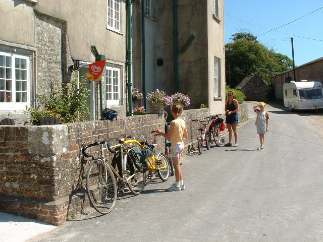
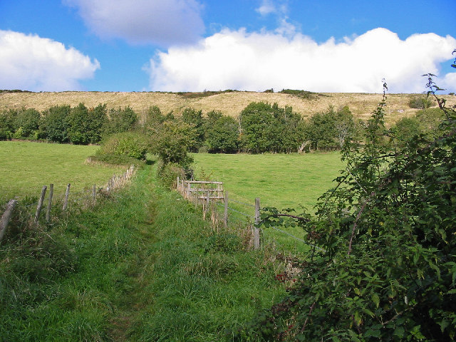
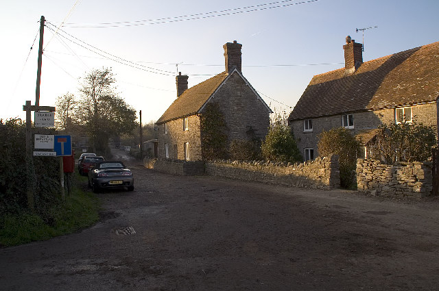
The village is characterized by its charming thatched-roof cottages, which add to its quaint and traditional charm. Surrounded by acres of woodland, Woolland Grove offers endless opportunities for walking, hiking, and exploring the natural beauty of the area. The dense forests are home to a variety of wildlife, including deer, rabbits, and a diverse range of bird species, making it a haven for nature lovers and birdwatchers.
In addition to its natural wonders, Woolland Grove boasts a strong sense of community, with a friendly and welcoming atmosphere. The village is home to a close-knit community, and residents often come together to organize events and activities throughout the year. The village hall serves as a hub for social gatherings, hosting everything from craft fairs to community meetings.
For those seeking a peaceful and serene escape, Woolland Grove provides the perfect setting. With its stunning woodlands, charming architecture, and thriving community spirit, this Dorset village offers a slice of countryside paradise. Whether you are looking to immerse yourself in nature or simply relax and unwind, Woolland Grove is an ideal destination to experience the beauty of rural England.
If you have any feedback on the listing, please let us know in the comments section below.
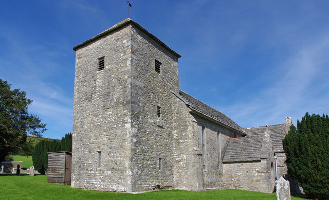
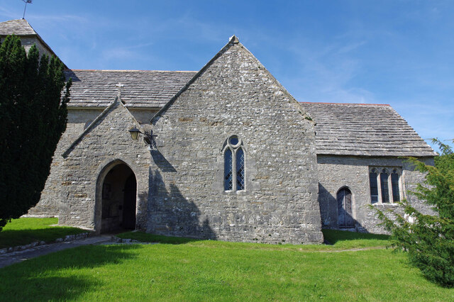
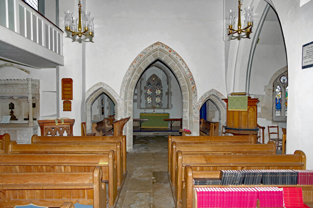
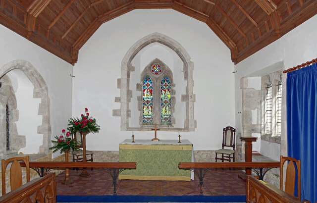
Woolland Grove Images
Images are sourced within 2km of 50.635913/-2.1009381 or Grid Reference SY9281. Thanks to Geograph Open Source API. All images are credited.
Woolland Grove is located at Grid Ref: SY9281 (Lat: 50.635913, Lng: -2.1009381)
Unitary Authority: Dorset
Police Authority: Dorset
What 3 Words
///crusaders.courage.giggles. Near Corfe Castle, Dorset
Nearby Locations
Related Wikis

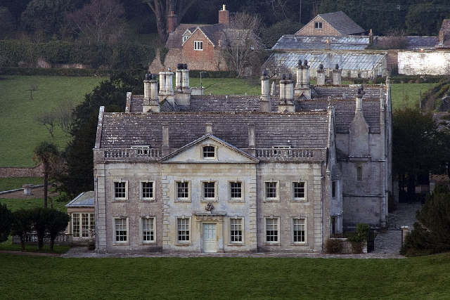
Barnston Manor
Barnston Manor is a 13th-century manor house and farm near Church Knowle in Dorset, England. The house is a Grade I listed building, and some farm buildings...

Stonehill Down Nature Reserve
The Stonehill Down Nature Reserve is a downland nature reserve on the Purbeck Hills in the county of Dorset, England. It is managed by the Dorset Wildlife...

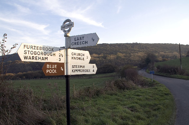
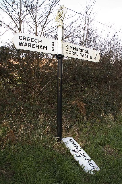
East Creech
East Creech is a hamlet in the parish of Church Knowle in the county of Dorset, England. East Creech lies at the northern foot of the Purbeck Hills about...
Creech Barrow Hill
Creech Barrow Hill is a steep, conical hill, 193 metres (633 ft) (one source 637 feet) high, near the coast of Dorset, England, and the highest point of...

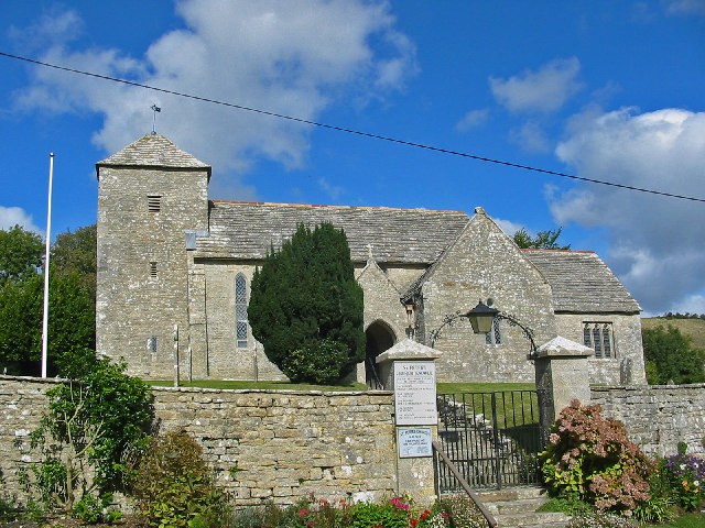
Church Knowle
Church Knowle is a village and civil parish on the Isle of Purbeck in the county of Dorset in the south of England. Church Knowle village is situated about...

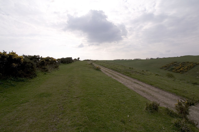
Purbeck Hills
The Purbeck Hills, also called the Purbeck Ridge or simply the Purbecks, are a ridge of chalk downs in Dorset, England. It is formed by the structure known...

Ridgeway Hill
Ridgeway Hill, also referred to as Grange Hill or Steeple Hill, is the third highest point of the Purbeck Hills in the county of Dorset standing at 199...

Blue Pool, Dorset
Blue Pool is a flooded, disused clay pit where Purbeck ball clay was once extracted. It is now a lake within the Furzebrook Estate, a 25-acre (10 ha) park...
Nearby Amenities
Located within 500m of 50.635913,-2.1009381Have you been to Woolland Grove?
Leave your review of Woolland Grove below (or comments, questions and feedback).