Lower Withy Bed

Wood, Forest in Dorset

England

Lower Withy Bed

Bikepacker on the Ridgeway Photo captured at 14:58 during a 2 day bikepacking trip following the 'Purbeck Bimble' route from Bikepacking.com.
Bikepacker on the Ridgeway Credit: Calum Rogers

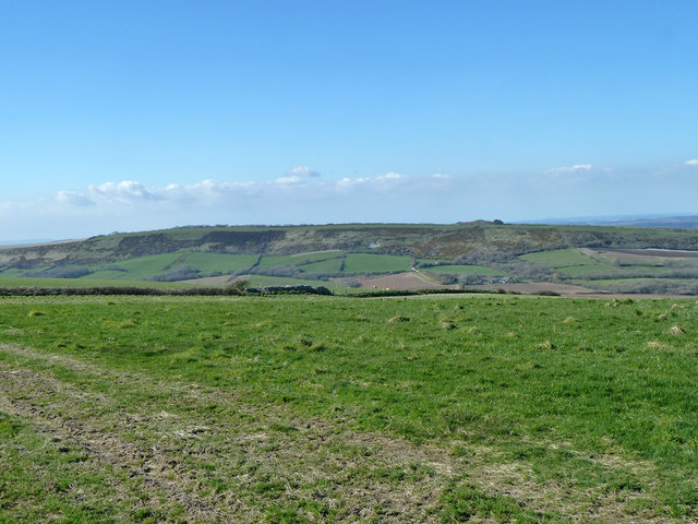
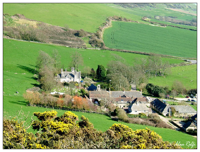
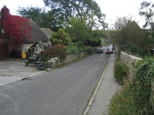
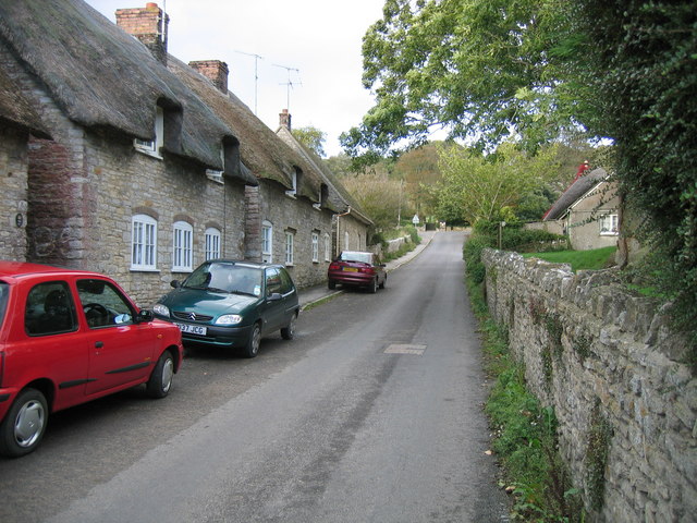
Lower Withy Bed is a charming woodland area located in Dorset, England. Situated in the heart of the county, this wood is part of the larger Withy Bed nature reserve, which covers approximately 21 hectares of land. The reserve is managed by the Dorset Wildlife Trust and offers visitors a tranquil and picturesque setting to explore.

The wood itself is predominantly composed of ancient oak trees, which create a dense canopy overhead, allowing only dappled sunlight to filter through. This creates a serene and peaceful atmosphere, making it an ideal spot for nature lovers and those seeking a break from the hustle and bustle of daily life.

Lower Withy Bed is home to a rich variety of wildlife, including numerous species of birds, insects, and small mammals. Birdwatchers will be delighted to spot woodpeckers, nuthatches, and tawny owls, among others. Additionally, the woodland floor is adorned with an array of wildflowers and ferns, adding to the natural beauty of the area.

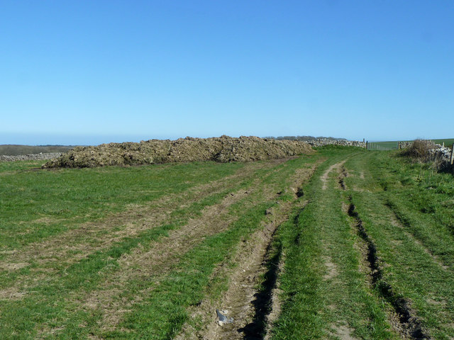
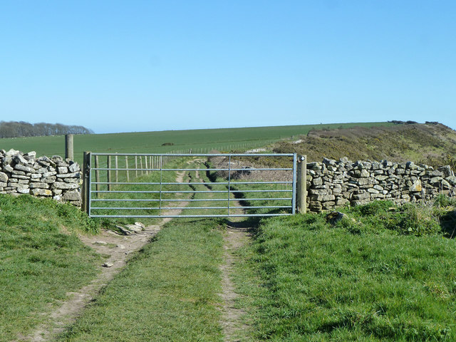
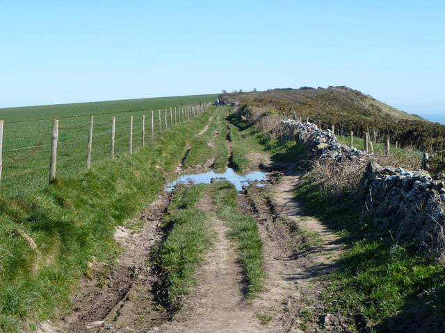
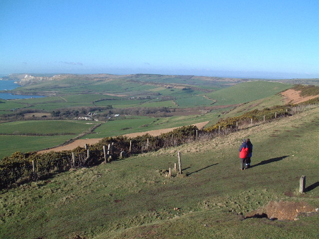
Visitors can explore the wood via a network of well-maintained paths and trails, which wind their way through the trees, allowing for a leisurely stroll or a more vigorous hike. The reserve also boasts a picnic area, providing a perfect spot to enjoy a packed lunch amidst the natural surroundings.

Lower Withy Bed is a hidden gem in Dorset, offering a peaceful retreat for nature enthusiasts and a chance to reconnect with the natural world. Whether you are an avid birdwatcher, a keen walker, or simply seeking a moment of tranquility, this wood is sure to captivate and inspire.

If you have any feedback on the listing, please let us know in the comments section below.

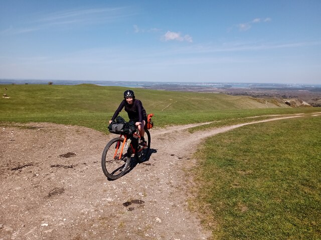
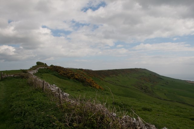
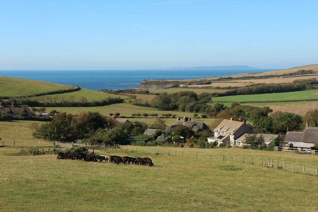
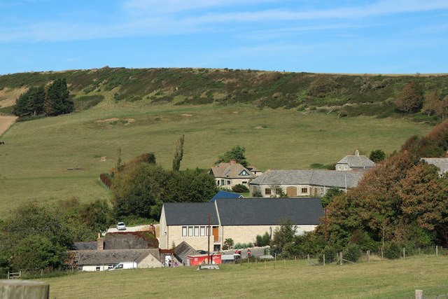
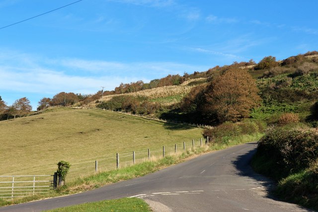
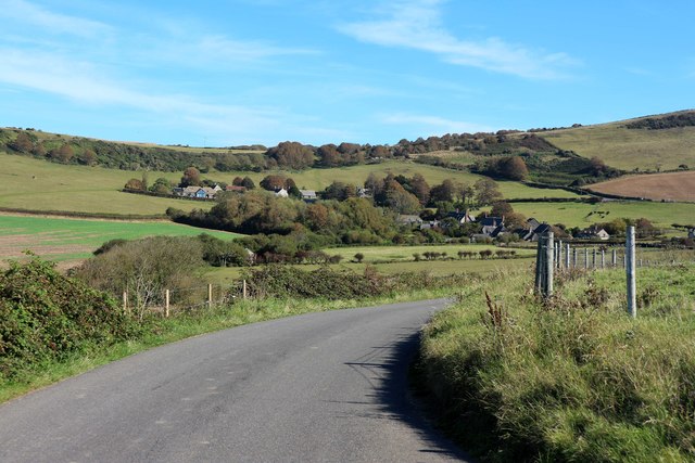
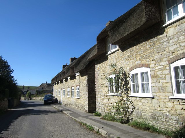
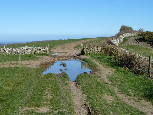
Lower Withy Bed Images

Images are sourced within 2km of 50.629075/-2.1140438 or Grid Reference SY9281. Thanks to Geograph Open Source API. All images are credited.

Bikepacker on the Ridgeway Photo captured at 14:58 during a 2 day bikepacking trip following the 'Purbeck Bimble' route from Bikepacking.com.
Bikepacker on the Ridgeway
Photo captured at 14:58 during a 2 day bikepacking trip following the 'Purbeck Bimble' route from Bikepacking.com.
The ridge of Smedmore Hill
View to Kimmeridge Bay
Clavell's Restaurant, Kimmerridge
Lane from Kimmerridge
Lane to Kimmerridge
Lane to Kimmerridge
Houses at Kimmeridge
Puddle and gateway on track to Swyre Head
View north-west from Smedmore Hill From a limestone ridge to a chalk ridge.
View north-west from Smedmore Hill
From a limestone ridge to a chalk ridge.
Track towards Swyre Head A muck heap on the left.
Track towards Swyre Head
A muck heap on the left.
Gate on track towards Swyre Head A public route, the gate is not locked.
Gate on track towards Swyre Head
A public route, the gate is not locked.
Track towards Swyre Head Along a limestone ridge.
Track towards Swyre Head
Along a limestone ridge.
Path heading towards Kimmeridge Path going along across Smedmore Hill heading towards Kimmeridge
Path heading towards Kimmeridge
Path going along across Smedmore Hill heading towards Kimmeridge
Kimmeridge Just off the South West Coastal Path along Dorset's Jurassic Coast.
Kimmeridge
Just off the South West Coastal Path along Dorset's Jurassic Coast.
Smedmore Hill Smedmore Hill, seen on the right in this photograph, is sometimes used by hang gliders who can gain access to the top of the ridge by a track leading from the Kimmeridge road. Smedmore House can be seen below the hill and is currently open to the public on a very occasional basis.
Smedmore Hill
Smedmore Hill, seen on the right in this photograph, is sometimes used by hang gliders who can gain access to the top of the ridge by a track leading from the Kimmeridge road. Smedmore House can be seen below the hill and is currently open to the public on a very occasional basis.
Kimmeridge post office and main street Looking south towards toll booth and the sea
Kimmeridge post office and main street
Looking south towards toll booth and the sea
Kimmeridge main street The view is away from the coast - the post office is the last building on the right
Kimmeridge main street
The view is away from the coast - the post office is the last building on the right
Sheep on limestone hill And this was December. Just after Christmas.
Sheep on limestone hill
And this was December. Just after Christmas.
Show me another place!

Lower Withy Bed is located at Grid Ref: SY9281 (Lat: 50.629075, Lng: -2.1140438)

Unitary Authority: Dorset

Police Authority: Dorset

What 3 Words

///cringe.meanwhile.pulse. Near Corfe Castle, Dorset

Related Wikis

Purbeck Hills

The Purbeck Hills, also called the Purbeck Ridge or simply the Purbecks, are a ridge of chalk downs in Dorset, England. The ridge is formed by the structure...

Steeple, Dorset

Steeple is a hamlet and former civil parish, now in the civil parish of Steeple with Tyneham, in the Purbeck district of the English county of Dorset....

Ridgeway Hill

Ridgeway Hill, also referred to as Grange Hill or Steeple Hill, is the third highest point of the Purbeck Hills in the county of Dorset standing at 199...

Grange Arch

Grange Arch, also known as Creech Folly, is an 18th-century folly that is located near the second highest point of the Purbeck Hills, Ridgeway Hill (199...

Nearby Amenities

Located within 500m of 50.629075,-2.1140438
Barrier: stile
Lat/Long: 50.6249653/-2.1158727
Barrier: stile
Lat/Long: 50.6251769/-2.1156262
Barrier: stile
Lat/Long: 50.627412/-2.114069
Material: wood
Power: pole
Source: bing
Lat/Long: 50.6251811/-2.1159695
Material: wood
Power: pole
Source: bing
Lat/Long: 50.6254658/-2.1146917
Material: wood
Power: pole
Source: bing
Lat/Long: 50.6257674/-2.1124991
Material: wood
Power: pole
Source: bing
Lat/Long: 50.6265607/-2.1118504
Material: wood
Power: pole
Source: bing
Lat/Long: 50.6271863/-2.1114248
Material: wood
Power: pole
Source: bing
Lat/Long: 50.627946/-2.1109317
Material: wood
Power: pole
Source: bing
Lat/Long: 50.6287112/-2.1104122
Material: wood
Power: pole
Source: bing
Lat/Long: 50.6294746/-2.1099191
Material: wood
Power: pole
Source: bing
Transformer: distribution
Lat/Long: 50.6302555/-2.1094211
Material: wood
Power: pole
Source: bing
Lat/Long: 50.6259996/-2.1191658
Power: pole
Source: bing
Lat/Long: 50.625672/-2.1176778
Barrier: stile
Lat/Long: 50.6303566/-2.1097505
Barrier: stile
Lat/Long: 50.6273856/-2.1141362
Give Way
Lat/Long: 50.6300651/-2.1208652
The data included in this document is from www.openstreetmap.org. The data is made available under ODbL.

Have you been to Lower Withy Bed?

Leave your review of Lower Withy Bed below (or comments, questions and feedback).