Kidney Clump
Wood, Forest in Dorset
England
Kidney Clump
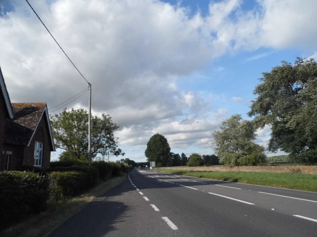
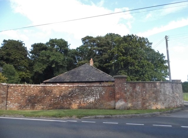
Kidney Clump is a small woodland area located in the county of Dorset, England. Situated near the town of Wareham, this forested area spans approximately 10 acres and is known for its diverse range of trees and wildlife.
The woodland at Kidney Clump primarily consists of deciduous trees such as oak, ash, and beech, which provide a picturesque and serene atmosphere. The forest floor is carpeted with a variety of flora, including bluebells, primroses, and ferns, adding to the natural beauty of the area.
The forest is crisscrossed with well-maintained walking trails, making it a popular destination for hikers and nature enthusiasts. These trails offer stunning views of the surrounding countryside, as well as opportunities for birdwatching and wildlife spotting. Visitors may catch a glimpse of deer, foxes, and various bird species, including woodpeckers and owls.
Kidney Clump is also home to a small pond, which attracts a range of aquatic wildlife, such as frogs, newts, and dragonflies. This tranquil water feature adds to the overall biodiversity of the area and provides a peaceful spot for visitors to relax and enjoy the natural surroundings.
The woodland at Kidney Clump is managed by the local authorities to ensure its preservation and sustainability. It is open to the public throughout the year, with no entrance fee required. Visitors are encouraged to respect the environment and follow any guidelines or restrictions put in place to protect the flora and fauna of this beautiful woodland area.
If you have any feedback on the listing, please let us know in the comments section below.
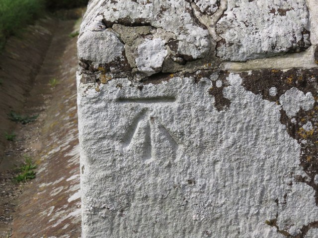
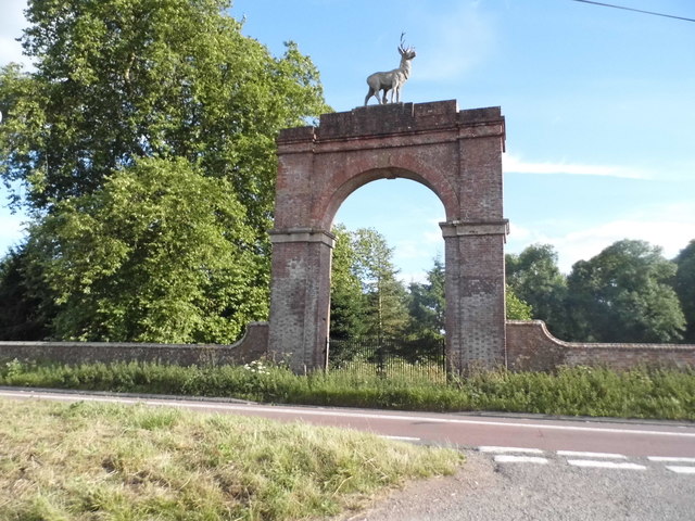
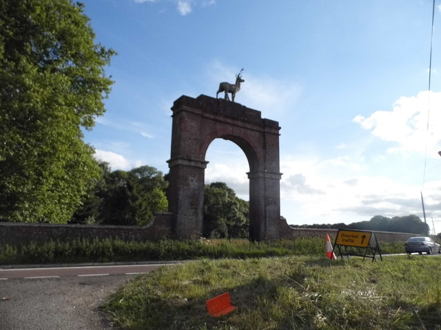
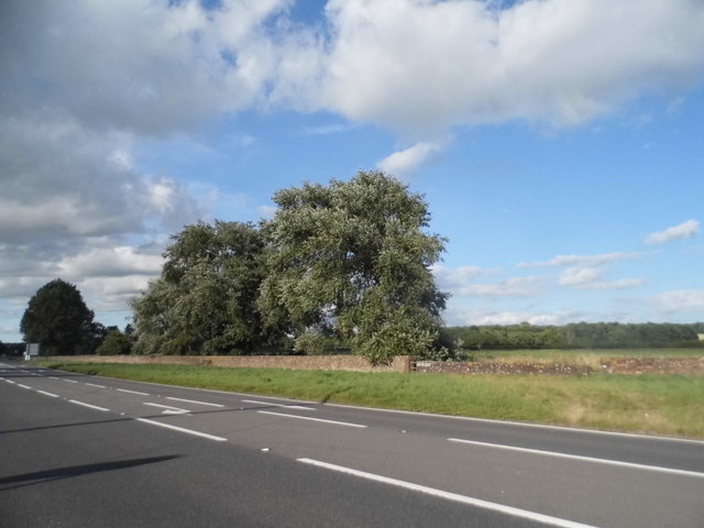
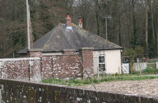
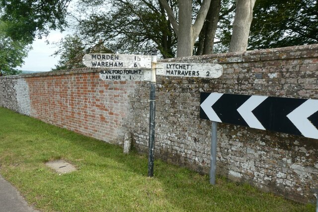
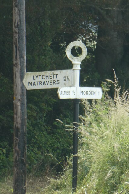
Kidney Clump Images
Images are sourced within 2km of 50.782553/-2.1142758 or Grid Reference SY9298. Thanks to Geograph Open Source API. All images are credited.


Kidney Clump is located at Grid Ref: SY9298 (Lat: 50.782553, Lng: -2.1142758)
Unitary Authority: Dorset
Police Authority: Dorset
What 3 Words
///assess.december.templates. Near Sturminster Marshall, Dorset
Nearby Locations
Related Wikis

Almer
Almer is a village and former civil parish, now in the parish of Sturminster Marshall, in the Dorset district, in the ceremonial county of Dorset, England...

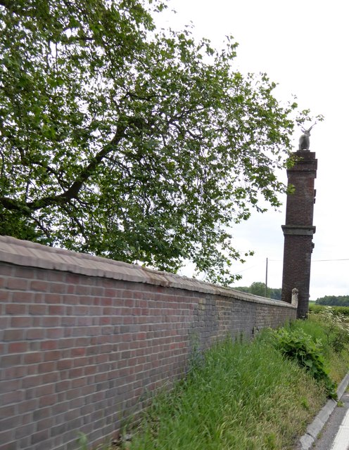
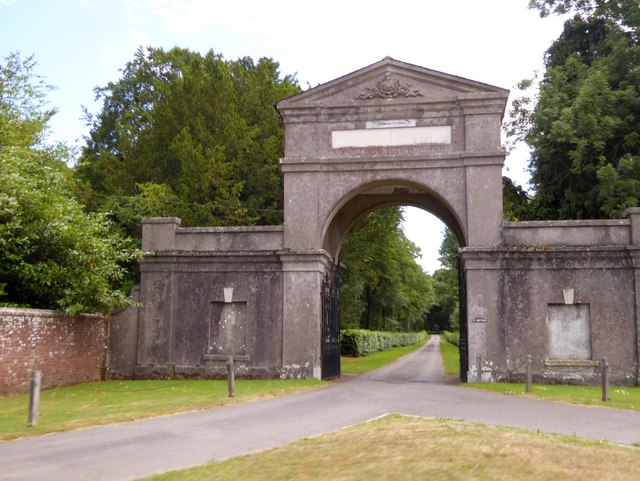
Charborough House
Charborough House, also known as Charborough Park, is a Grade I listed building, the manor house of the ancient manor of Charborough. The house is between...
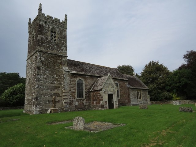
Church of St Mary, Almer, Dorset
Church of Mary is a Grade I listed church in Almer, Dorset, England. It became a listed building on 18 March 1955. According to Arthur Mee's The King...

Winterborne Zelston
Winterborne Zelston is a village and civil parish in north Dorset, England. It is situated in a winterbourne valley on the A31 road eight miles (thirteen...

Rushmore Hundred
Rushmore Hundred was a hundred in the county of Dorset, England, containing the parish of Winterborne Zelston == See also == List of hundreds in Dorset...

St Mary the Virgin, Lytchett Matravers
St Mary the Virgin is the Church of England parish church of Lytchett Matravers in Dorset. Its parish is part of the Diocese of Salisbury. The building...
Morden, Dorset
Morden (otherwise Moreden) is a civil parish in the Purbeck district of south Dorset, England. Morden is about 6 miles (10 km) north-west of Poole. At...

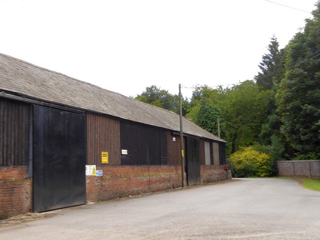
Bailey Gate railway station
Bailey Gate railway station was on the Somerset & Dorset Joint Railway in the English county of Dorset. == Usage == The station served the United Dairies...
Nearby Amenities
Located within 500m of 50.782553,-2.1142758Have you been to Kidney Clump?
Leave your review of Kidney Clump below (or comments, questions and feedback).