Climperwell Wood
Wood, Forest in Gloucestershire Cotswold
England
Climperwell Wood

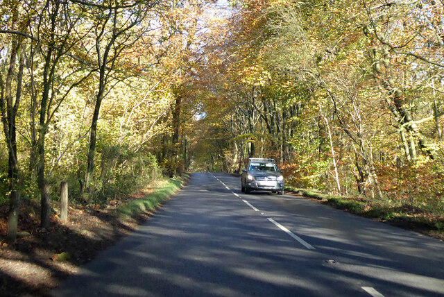
Climperwell Wood is a picturesque woodland located in the county of Gloucestershire, England. Spread over an area of approximately 50 hectares, this enchanting forest is a popular destination for nature lovers and outdoor enthusiasts.
The wood is characterized by its diverse range of tree species, including oak, beech, ash, and birch. These majestic trees create a dense canopy, providing shelter and habitat for a variety of wildlife. The forest floor is covered in a thick carpet of mosses, ferns, and wildflowers, adding to the woodland's natural beauty.
Tranquility and serenity are the hallmarks of Climperwell Wood. The quietness of the surroundings allows visitors to immerse themselves in the peaceful ambiance and escape from the hustle and bustle of everyday life. Walking through the well-maintained trails, visitors can enjoy the sounds of birds chirping and the gentle rustling of leaves in the wind.
The wood is also home to a rich diversity of wildlife. It is a haven for birds, including woodpeckers, nuthatches, and tawny owls. Squirrels can be seen darting through the branches, while foxes and deer occasionally make appearances, adding a touch of wilderness to the woodland experience.
Climperwell Wood offers a range of recreational activities, including walking, hiking, and birdwatching. The well-marked trails make it easy for visitors to explore the woodland and discover its hidden treasures. In spring, the forest comes alive with a burst of vibrant colors as the wildflowers bloom, creating a delightful sight for photographers and nature enthusiasts.
Overall, Climperwell Wood is a captivating woodland that offers a perfect retreat for those seeking a peaceful and immersive experience in nature.
If you have any feedback on the listing, please let us know in the comments section below.
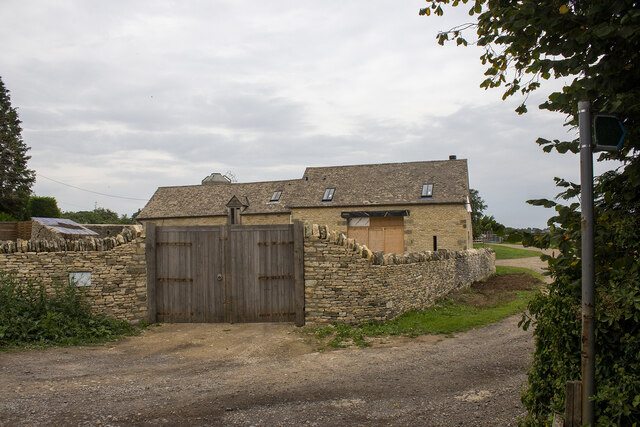
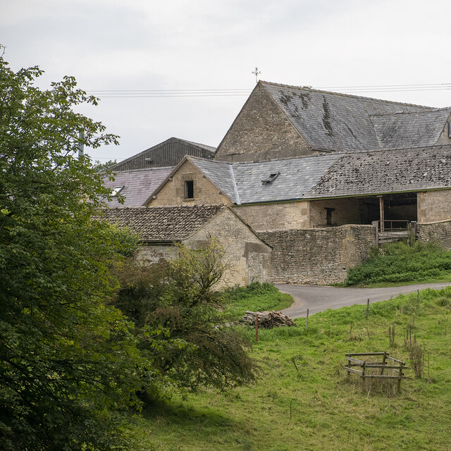
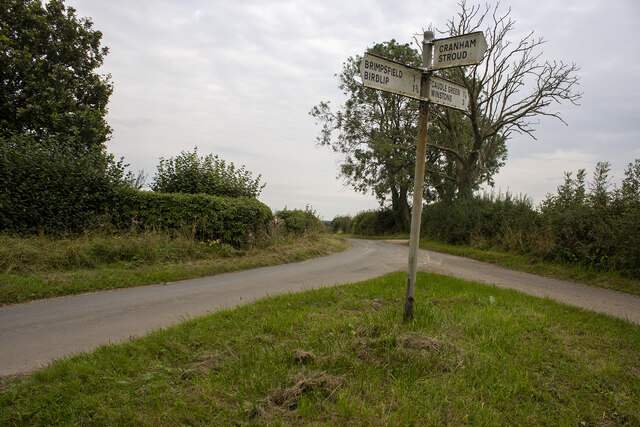
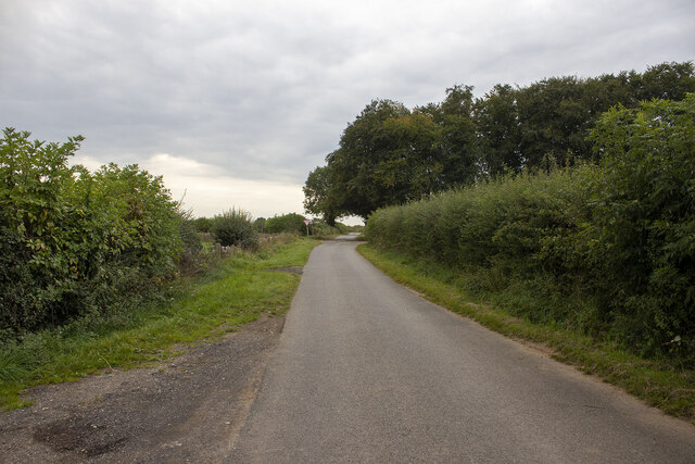
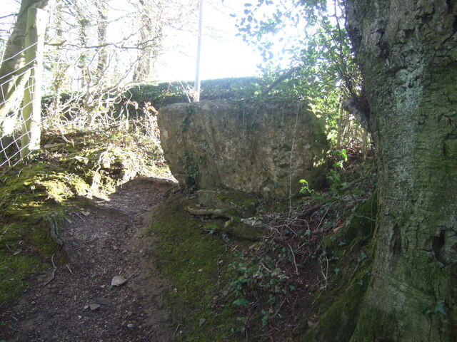
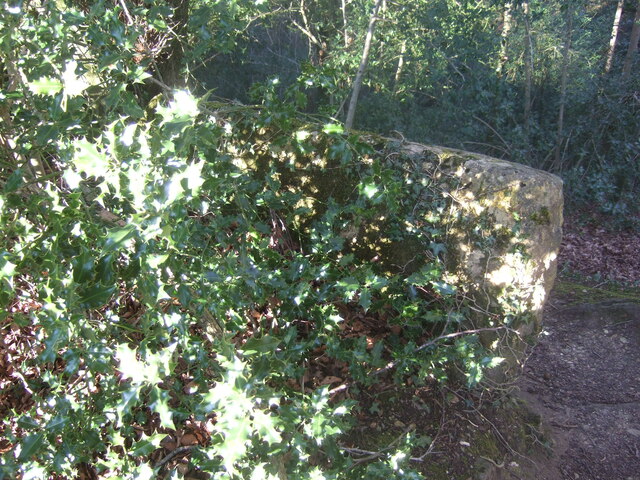
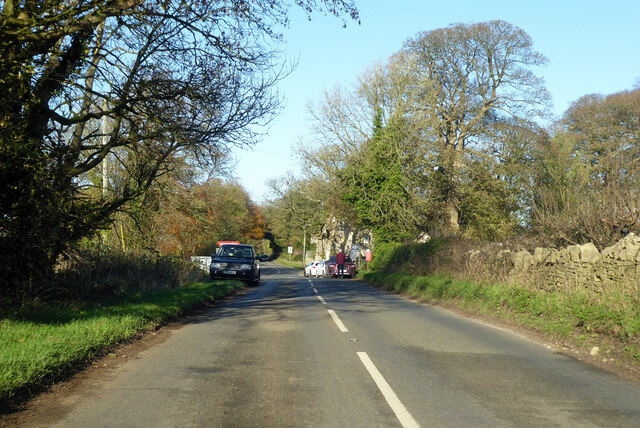
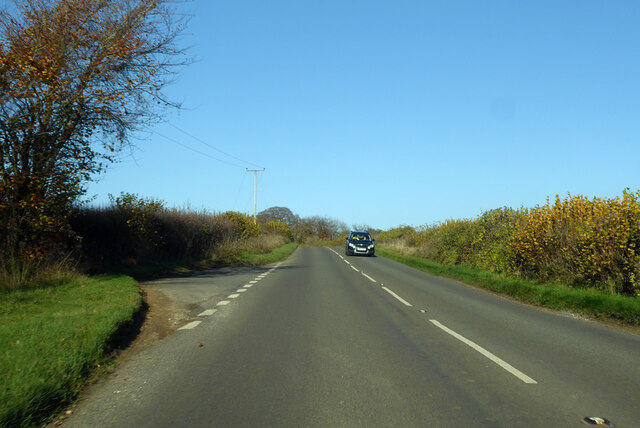
Climperwell Wood Images
Images are sourced within 2km of 51.801123/-2.1168094 or Grid Reference SO9211. Thanks to Geograph Open Source API. All images are credited.


Climperwell Wood is located at Grid Ref: SO9211 (Lat: 51.801123, Lng: -2.1168094)
Administrative County: Gloucestershire
District: Cotswold
Police Authority: Gloucestershire
What 3 Words
///sticks.cabs.spark. Near Painswick, Gloucestershire
Nearby Locations
Related Wikis

Brimpsfield
Brimpsfield is a village in Gloucestershire, England. The village is recorded in Domesday Book as Brimesfelde. Brimpsfield Castle was built in the village...

Whiteway Colony
Whiteway Colony is a residential community in the Cotswolds in the parish of Miserden near Stroud, Gloucestershire, United Kingdom. The community was founded...

Workmans Wood, Sheepscombe
Workmans Wood (grid reference SO900109) is a wood just to the east of the village of Sheepscombe, in the Cotswolds, Gloucestershire. It is a biological...

The Camp, Gloucestershire
The Camp is a hamlet in the south of Gloucestershire, approximately 10 miles south of Cheltenham and 5 miles north-east of Stroud. It is in the parish...
Nearby Amenities
Located within 500m of 51.801123,-2.1168094Have you been to Climperwell Wood?
Leave your review of Climperwell Wood below (or comments, questions and feedback).