Horrows Plantation

Wood, Forest in Yorkshire Craven

England

Horrows Plantation

Approaching Priest Holme Bridge Priest Holme Bridge no168 again carries the towpath to the opposite bank. A wide beam hotel boat is approaching the bridge.The Leeds & Liverpool Canal was built to take boats of this width.
Approaching Priest Holme Bridge Credit: Ian Murfitt

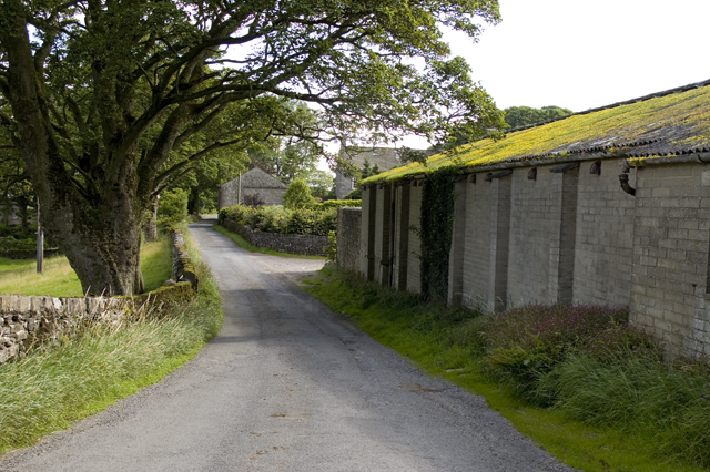
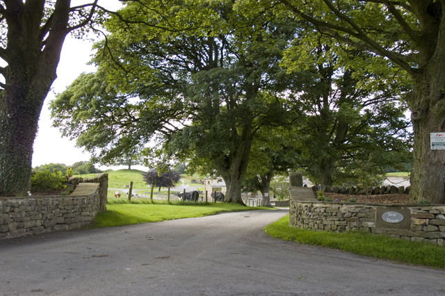
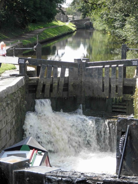
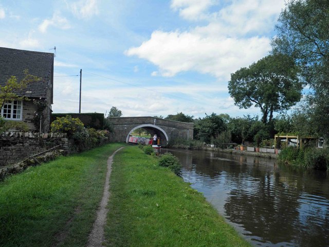
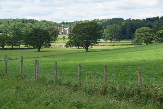
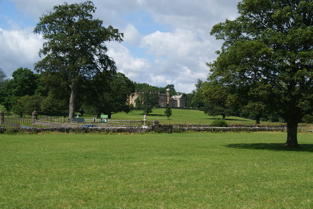
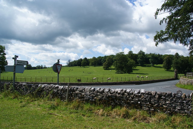
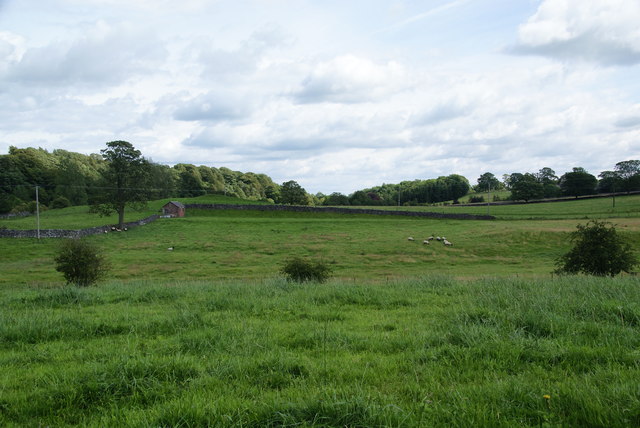
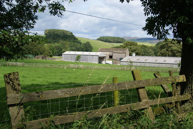
Horrows Plantation is a scenic woodland located in Yorkshire, England. Situated in the picturesque countryside, it covers a vast area of land, providing a natural haven for flora and fauna. The plantation is renowned for its dense forest, consisting primarily of tall, mature trees that create a captivating and serene atmosphere.

The woodland boasts a diverse range of tree species, including oak, beech, and birch. The towering canopies formed by these majestic trees provide shelter and nesting sites for a variety of bird species, making the plantation a popular spot for birdwatching enthusiasts. Additionally, the woodland floor is covered with a lush carpet of ferns, wildflowers, and moss, further enhancing the beauty of the area.

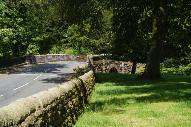
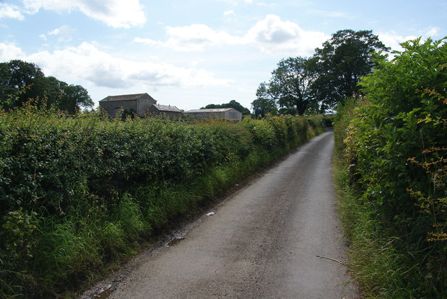
Horrows Plantation offers numerous walking trails and paths, allowing visitors to explore the woodland at their leisure. The paths wind through the forest, leading to hidden clearings, babbling brooks, and tranquil ponds. Along the way, visitors may encounter wildlife such as deer, foxes, and squirrels, adding an element of excitement and natural charm to their experience.

The plantation is managed by a team of dedicated conservationists who ensure the preservation of its natural beauty and ecological balance. They actively work to protect the woodland from erosion and maintain its biodiversity through careful management practices.

Horrows Plantation is a cherished destination for nature lovers, hikers, and those seeking a peaceful retreat in the heart of Yorkshire's countryside. Its stunning woodland, abundant wildlife, and well-maintained trails make it an idyllic location to immerse oneself in the beauty of nature and enjoy the tranquility of the surroundings.

If you have any feedback on the listing, please let us know in the comments section below.

Horrows Plantation Images

Images are sourced within 2km of 53.996653/-2.1214162 or Grid Reference SD9255. Thanks to Geograph Open Source API. All images are credited.

Approaching Priest Holme Bridge Priest Holme Bridge no168 again carries the towpath to the opposite bank. A wide beam hotel boat is approaching the bridge.The Leeds & Liverpool Canal was built to take boats of this width.
Approaching Priest Holme Bridge
Priest Holme Bridge no168 again carries the towpath to the opposite bank. A wide beam hotel boat is approaching the bridge.The Leeds & Liverpool Canal was built to take boats of this width.
New Laithe Barn, Eshton
Entrance Drive to Seat House
Ducks by Lock 32 of the Leeds and Liverpool Canal The lock can accommodate two barges, and two are just about to emerge from the lock.
Ducks by Lock 32 of the Leeds and Liverpool Canal
The lock can accommodate two barges, and two are just about to emerge from the lock.
Lock 31 on the Leeds and Liverpool Canal This is by the Eshton Road bridge on the north side of Gargrave.
Lock 31 on the Leeds and Liverpool Canal
This is by the Eshton Road bridge on the north side of Gargrave.
Filling lock 31 on the Leeds and Liverpool canal Gargrave
Bridge 172 Ray Bridge on the Leeds Liverpool canal near Gargrave
Fields above Eshton Hall A pleasant path crosses this estate grassland.
Fields above Eshton Hall
A pleasant path crosses this estate grassland.
Path approaching Eshton Hall The path is not well defined but it doesn't need to be on this grassland.
Path approaching Eshton Hall
The path is not well defined but it doesn't need to be on this grassland.
Road junction near Eshton Hall
Eshton Bridge It crosses Eshton Beck just near its confluence with Flasby Beck.
Eshton Bridge
It crosses Eshton Beck just near its confluence with Flasby Beck.
Fields near St Helen's Well These fields are in the valley of Eshton Beck which is to the left.
Fields near St Helen's Well
These fields are in the valley of Eshton Beck which is to the left.
Winterburn Lane A lane linking Winterburn and Eshton.
Winterburn Lane
A lane linking Winterburn and Eshton.
Throstle Nest Farm A large dairy farm which is a supplier to Sainsbury's.
Throstle Nest Farm
A large dairy farm which is a supplier to Sainsbury's.
Dairy production at Throstle Nest Farm According to the sign at the farm entrance, the milk from these cows goes to Sainsbury's. Flasby Fell is behind.
Dairy production at Throstle Nest Farm
According to the sign at the farm entrance, the milk from these cows goes to Sainsbury's. Flasby Fell is behind.
Farm buildings at New Laithe
A footpath to nowhere A right of way is marked on the map over this stile, but it ends near the drive of Seat House and there is no way through.
A footpath to nowhere
A right of way is marked on the map over this stile, but it ends near the drive of Seat House and there is no way through.
Sheep-grazing land near Eshton Moor
Show me another place!

Horrows Plantation is located at Grid Ref: SD9255 (Lat: 53.996653, Lng: -2.1214162)

Division: West Riding

Administrative County: North Yorkshire

District: Craven

Police Authority: North Yorkshire

What 3 Words

///quicker.kitchen.intruding. Near Gargrave, North Yorkshire

Related Wikis

Gargrave

Gargrave is a large village and civil parish in the Craven district located along the A65, 4 miles (6 km) north-west of Skipton in North Yorkshire, England...

Coniston Cold

Coniston Cold is a village and civil parish in the Craven district of North Yorkshire, England. Historically part of the Staincliffe Wapentake of the West...

Bell Busk

Bell Busk is a hamlet situated in the Craven district of North Yorkshire, England. The hamlet is located at the southern end of Malhamdale where the nascent...

Eshton

Eshton is a small village and civil parish in the Craven district of North Yorkshire, England. At the 2011 Census the population was less than 100 and...

Bell Busk railway station

Bell Busk railway station served the hamlet of Bell Busk in North Yorkshire, England. It was located on the Leeds to Morecambe Line between Gargrave and...

Gargrave railway station

Gargrave is a railway station on the Bentham Line, which runs between Leeds and Morecambe via Skipton. The station, situated 30 miles (48 km) north-west...

Flasby

Flasby is a hamlet in the Yorkshire Dales in North Yorkshire, England. It is one of the two settlements, with Winterburn, in the civil parish of Flasby...

Newfield Hall

Newfield Hall is a former country house located 1 mile (1.6 km) to the southeast of the village of Airton, North Yorkshire, England. It is now a hotel...

Nearby Amenities

Located within 500m of 53.996653,-2.1214162
Barrier: kissing_gate
Lat/Long: 53.9949804/-2.1205305
Barrier: kissing_gate
Lat/Long: 53.9971158/-2.1236211
Butter Haw Hill
Natural: peak
Source: OS 1:25k
Lat/Long: 53.9974346/-2.116352
Horrows Hill
Natural: peak
Source: OS 1:25k
Lat/Long: 53.9973211/-2.123433
Barrier: kissing_gate
Lat/Long: 53.9991769/-2.1239508
Heber Hill
Natural: peak
Source: OS 1:25k
Lat/Long: 53.9925403/-2.1230253
Barrier: stile
Steps: 2
Stile: stepover
Lat/Long: 53.9933987/-2.1184882
Hiking: yes
Information: guidepost
Source: GPS survey
Tourism: information
Lat/Long: 53.996195/-2.1224266
The data included in this document is from www.openstreetmap.org. The data is made available under ODbL.

Have you been to Horrows Plantation?

Leave your review of Horrows Plantation below (or comments, questions and feedback).