Horrows Hill
Hill, Mountain in Yorkshire Craven
England
Horrows Hill
Horrows Hill, located in Yorkshire, is a prominent hill that forms part of the beautiful landscape in the region. With an elevation of approximately 400 meters, it stands tall and offers breathtaking views of the surrounding countryside. Situated near the town of Harrogate, Horrows Hill is a popular spot for outdoor enthusiasts, hikers, and nature lovers.
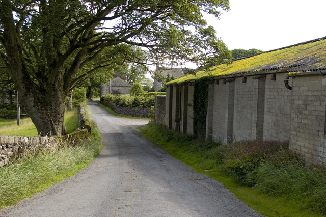
The hill is characterized by its gently sloping sides, covered in lush greenery and dotted with vibrant wildflowers during the spring and summer months. It features a diverse range of flora and fauna, including various species of birds, butterflies, and small mammals, making it a haven for wildlife enthusiasts. The hill is also home to several walking trails, providing visitors with the opportunity to explore its natural beauty at their own pace.
At the summit of Horrows Hill, visitors are rewarded with panoramic views of the Yorkshire Dales and the Nidderdale Area of Outstanding Natural Beauty. On a clear day, one can even catch a glimpse of the distant Pennines. The hill's vantage point offers a peaceful and serene atmosphere, ideal for those seeking a moment of tranquility away from the hustle and bustle of everyday life.
Horrows Hill has long been a favorite destination for locals and tourists alike, offering a combination of natural beauty, recreational opportunities, and a chance to connect with the Yorkshire countryside. Whether it's a leisurely stroll, a challenging hike, or simply admiring the stunning vistas, Horrows Hill is a must-visit destination for anyone exploring the Yorkshire region.
If you have any feedback on the listing, please let us know in the comments section below.
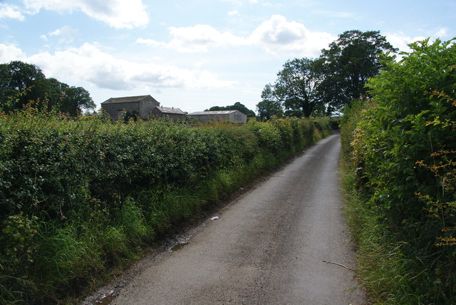
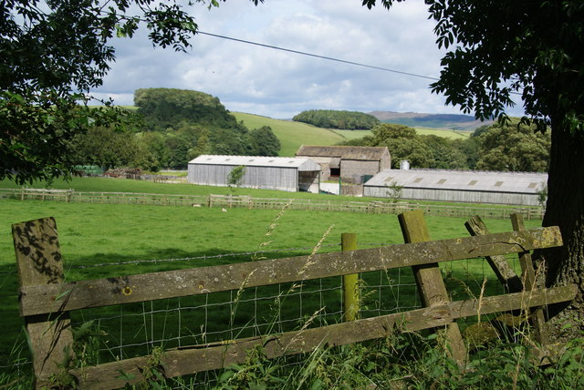
Horrows Hill Images
Images are sourced within 2km of 53.997038/-2.1230342 or Grid Reference SD9255. Thanks to Geograph Open Source API. All images are credited.


Horrows Hill is located at Grid Ref: SD9255 (Lat: 53.997038, Lng: -2.1230342)
Division: West Riding
Administrative County: North Yorkshire
District: Craven
Police Authority: North Yorkshire
What 3 Words
///business.bucket.lunching. Near Gargrave, North Yorkshire
Related Wikis

Bell Busk
Bell Busk is a hamlet situated in the Craven district of North Yorkshire, England. The hamlet is located at the southern end of Malhamdale where the nascent...

Coniston Cold
Coniston Cold is a village and civil parish in the Craven district of North Yorkshire, England. Historically part of the Staincliffe Wapentake of the West...

Gargrave
Gargrave is a large village and civil parish in the Craven district located along the A65, 4 miles (6 km) north-west of Skipton in North Yorkshire, England...

Bell Busk railway station
Bell Busk railway station served the hamlet of Bell Busk in North Yorkshire, England. It was located on the Leeds to Morecambe Line between Gargrave and...

Eshton
Eshton is a small village and civil parish in the Craven district of North Yorkshire, England. At the 2011 Census the population was less than 100 and...

Gargrave railway station
Gargrave is a railway station on the Bentham Line, which runs between Leeds and Morecambe via Skipton. The station, situated 30 miles (48 km) north-west...

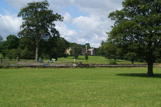
Newfield Hall
Newfield Hall is a former country house located 1 mile (1.6 km) to the southeast of the village of Airton, North Yorkshire, England. It is now a hotel...

Flasby
Flasby is a hamlet in the Yorkshire Dales in North Yorkshire, England. It is one of the two settlements, with Winterburn, in the civil parish of Flasby...
Nearby Amenities
Located within 500m of 53.997038,-2.1230342Have you been to Horrows Hill?
Leave your review of Horrows Hill below (or comments, questions and feedback).