Butter Haw Hill
Hill, Mountain in Yorkshire Craven
England
Butter Haw Hill
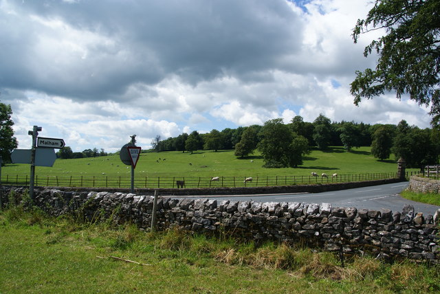
Butter Haw Hill is a prominent natural landmark located in Yorkshire, England. It is part of the stunning Nidderdale Area of Outstanding Natural Beauty, offering breathtaking views of the surrounding countryside. While not particularly high in terms of elevation, Butter Haw Hill stands at approximately 358 meters (1,175 feet) above sea level, making it a notable hill in the region.
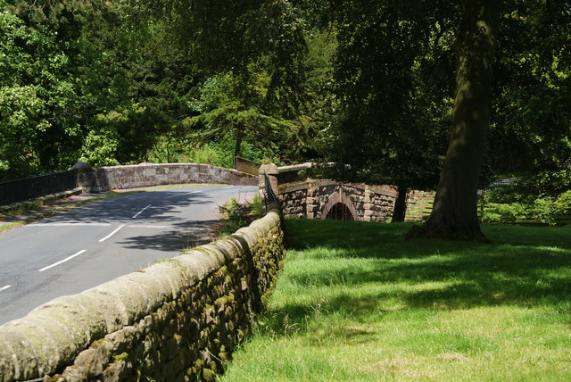
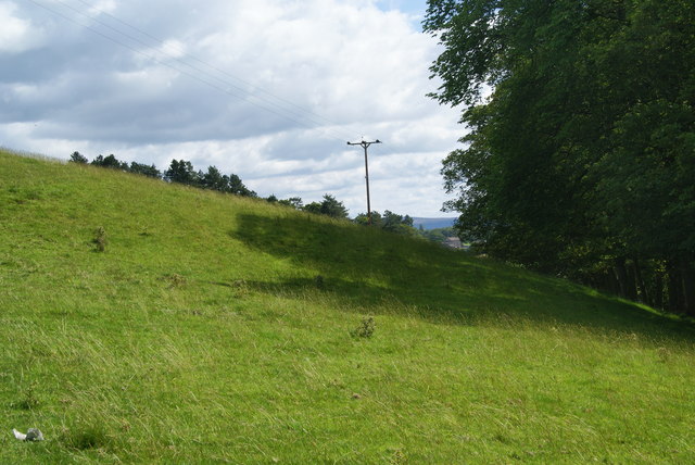
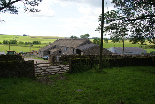
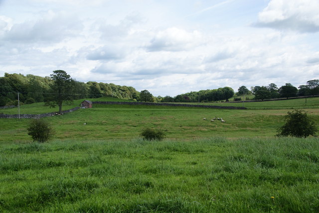
The hill is characterized by its gentle slopes and grassy terrain, which is often dotted with grazing sheep. It is a popular spot for hikers, walkers, and nature enthusiasts, who are drawn to its tranquil ambiance and picturesque scenery. The summit of Butter Haw Hill provides panoramic vistas of the surrounding landscape, including the rolling hills, valleys, and meandering rivers that define the Yorkshire Dales.
The area surrounding Butter Haw Hill is rich in biodiversity, with various species of flora and fauna calling it home. Visitors can expect to see a variety of wildflowers, including heather and bluebells, which carpet the hillside during the summer months. Butterflies, bees, and small mammals are also commonly spotted in the area.
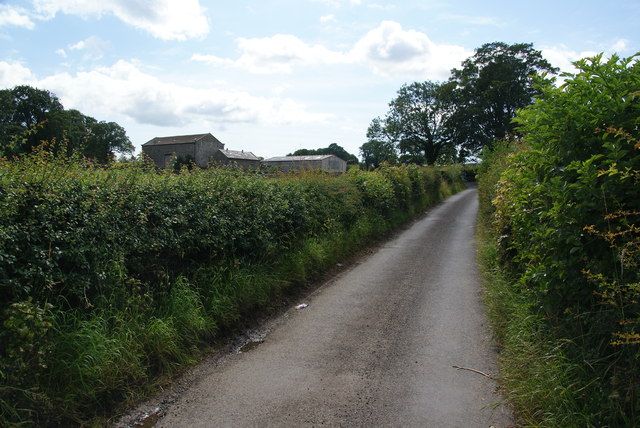
Accessible via well-marked footpaths, Butter Haw Hill offers a range of walking routes suitable for all ages and abilities. Whether it's a leisurely stroll or a more challenging hike, visitors are rewarded with stunning vistas and the chance to immerse themselves in the natural beauty of Yorkshire.
If you have any feedback on the listing, please let us know in the comments section below.
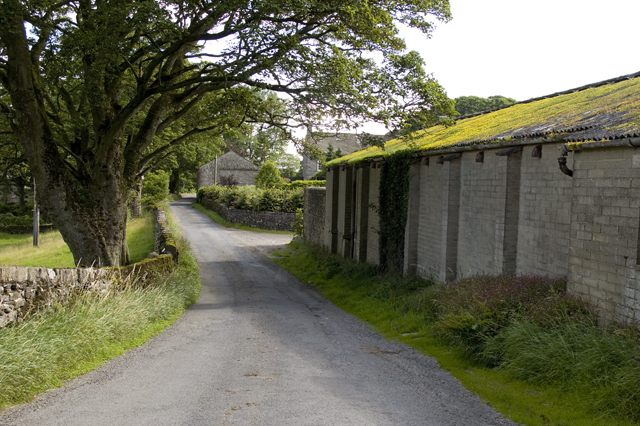
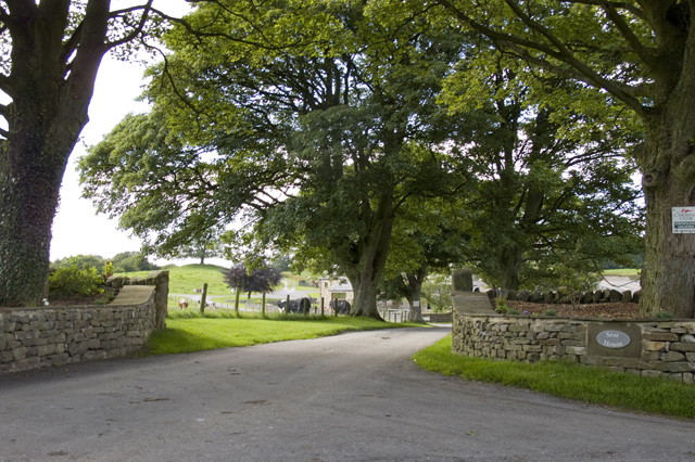
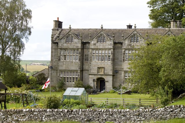
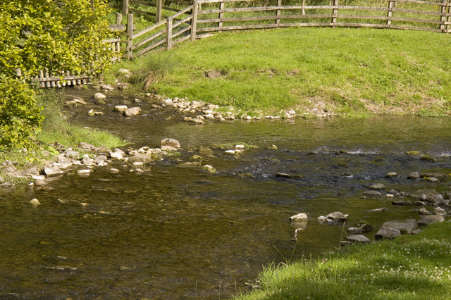
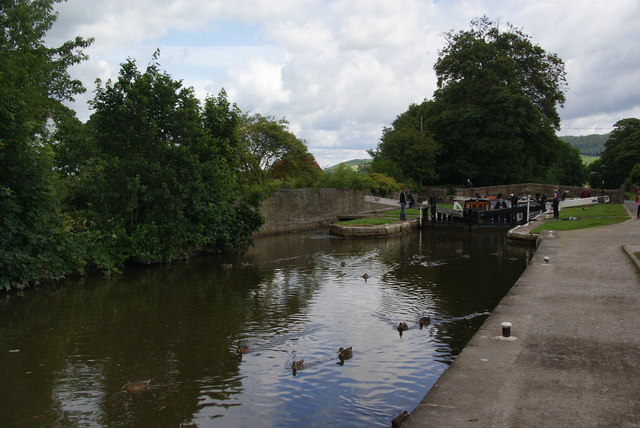
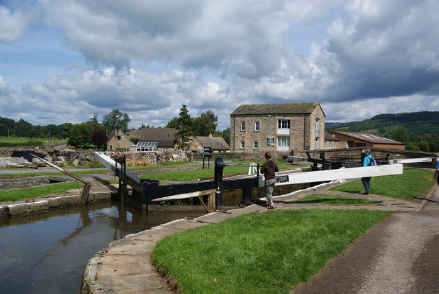
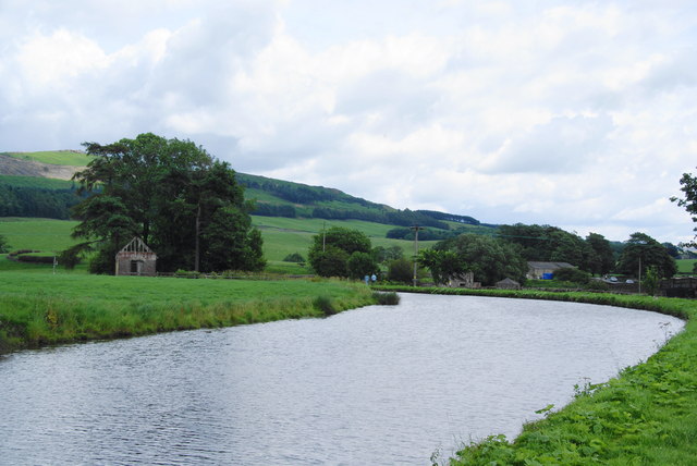
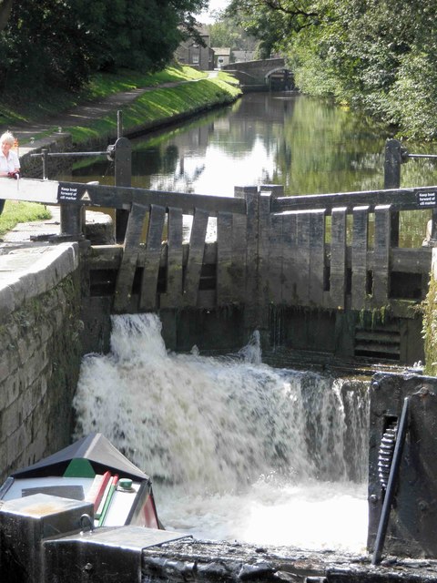
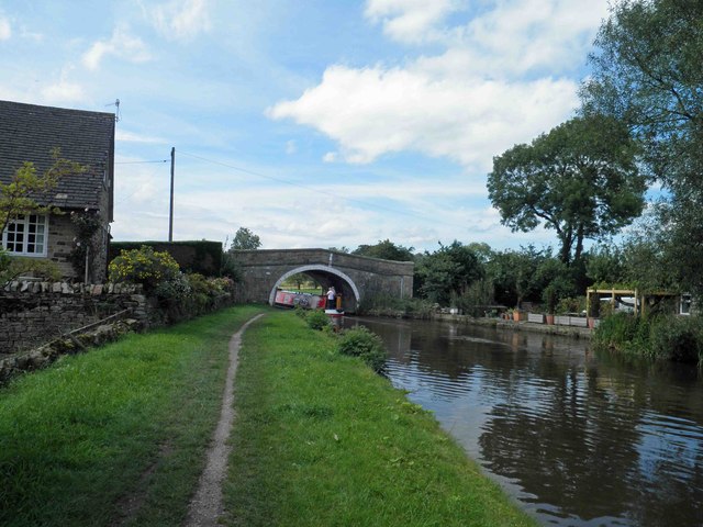
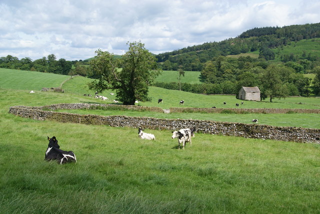
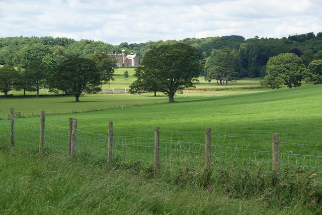
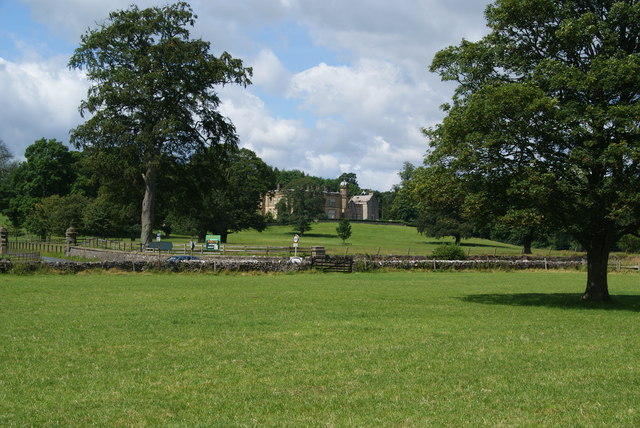
Butter Haw Hill Images
Images are sourced within 2km of 53.997539/-2.1164001 or Grid Reference SD9255. Thanks to Geograph Open Source API. All images are credited.
Butter Haw Hill is located at Grid Ref: SD9255 (Lat: 53.997539, Lng: -2.1164001)
Division: West Riding
Administrative County: North Yorkshire
District: Craven
Police Authority: North Yorkshire
What 3 Words
///contracts.warthog.snowy. Near Gargrave, North Yorkshire
Related Wikis

Gargrave
Gargrave is a large village and civil parish in the Craven district located along the A65, 4 miles (6 km) north-west of Skipton in North Yorkshire, England...

Eshton
Eshton is a small village and civil parish in the Craven district of North Yorkshire, England. At the 2011 Census the population was less than 100 and...

Bell Busk
Bell Busk is a hamlet situated in the Craven district of North Yorkshire, England. The hamlet is located at the southern end of Malhamdale where the nascent...

Coniston Cold
Coniston Cold is a village and civil parish in the Craven district of North Yorkshire, England. Historically part of the Staincliffe Wapentake of the West...

Gargrave railway station
Gargrave is a railway station on the Bentham Line, which runs between Leeds and Morecambe via Skipton. The station, situated 30 miles (48 km) north-west...

Flasby
Flasby is a hamlet in the Yorkshire Dales in North Yorkshire, England. It is one of the two settlements, with Winterburn, in the civil parish of Flasby...

Bell Busk railway station
Bell Busk railway station served the hamlet of Bell Busk in North Yorkshire, England. It was located on the Leeds to Morecambe Line between Gargrave and...

Newfield Hall
Newfield Hall is a former country house located 1 mile (1.6 km) to the southeast of the village of Airton, North Yorkshire, England. It is now a hotel...
Nearby Amenities
Located within 500m of 53.997539,-2.1164001Have you been to Butter Haw Hill?
Leave your review of Butter Haw Hill below (or comments, questions and feedback).