Butter Haw Hill Plantation
Wood, Forest in Yorkshire Craven
England
Butter Haw Hill Plantation
Butter Haw Hill Plantation is a picturesque woodland area located in Yorkshire, England. Nestled amidst the rolling hills and lush countryside, it covers a vast expanse of land that stretches over several acres. The plantation is known for its dense and diverse forest, which is home to a wide variety of flora and fauna.
The woodland consists primarily of native tree species such as oak, beech, and birch, providing a rich habitat for numerous wildlife species. Visitors can enjoy the tranquil atmosphere as they explore the plantation's well-maintained trails, which wind through the trees and offer stunning views of the surrounding landscape.
Butter Haw Hill Plantation is also renowned for its historical significance. It was originally established in the 18th century as a timber plantation, supplying wood for various industries. Today, remnants of the plantation's past can still be seen in the form of old stone structures and abandoned sawmills.
In addition to its natural beauty, the plantation offers recreational opportunities for visitors. Hiking, birdwatching, and nature photography are popular activities enjoyed by locals and tourists alike. The plantation has designated picnic areas where visitors can relax and soak in the peaceful ambiance.
Overall, Butter Haw Hill Plantation is a cherished natural gem in Yorkshire. Its scenic beauty, historical heritage, and abundant wildlife make it a must-visit destination for nature enthusiasts and those seeking a peaceful retreat in the heart of the English countryside.
If you have any feedback on the listing, please let us know in the comments section below.
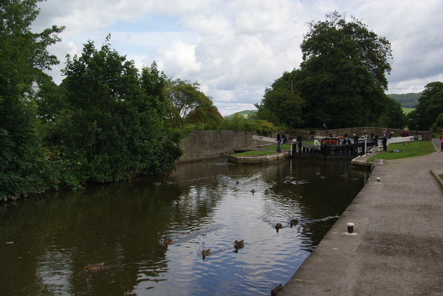
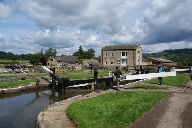
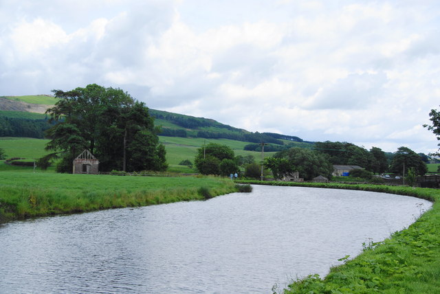
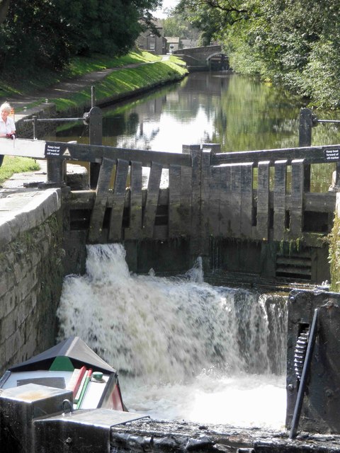
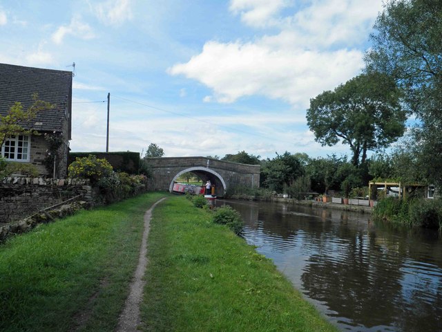
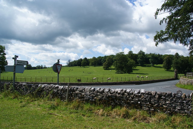
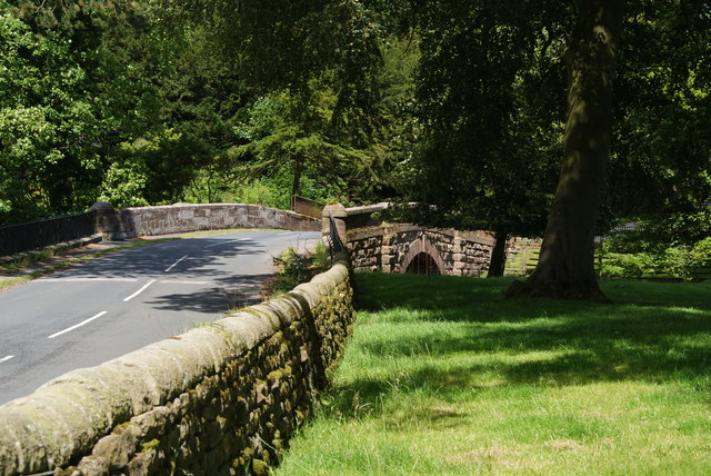
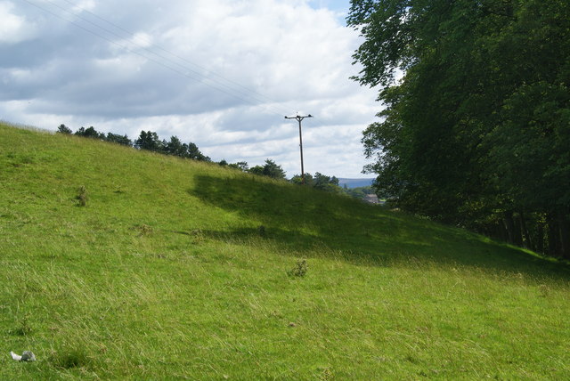
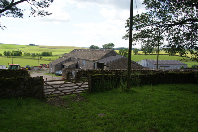
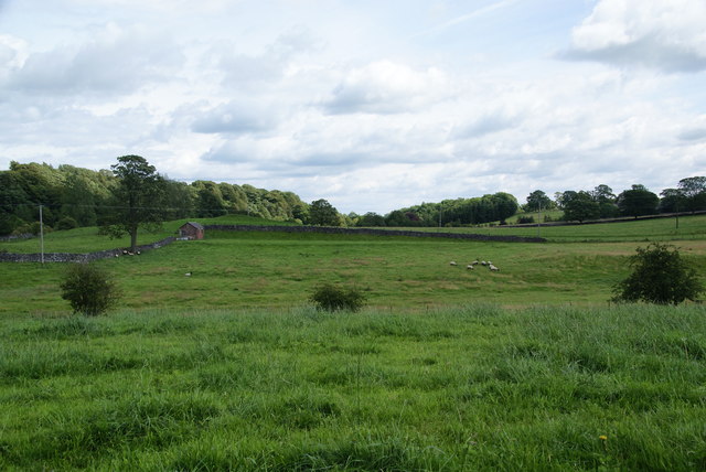
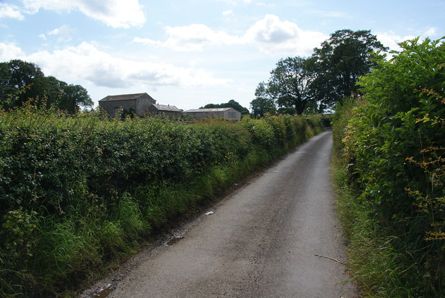
Butter Haw Hill Plantation Images
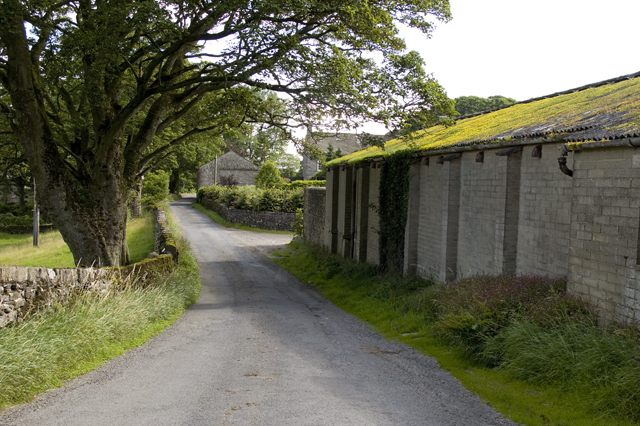
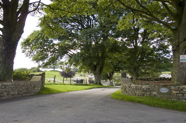
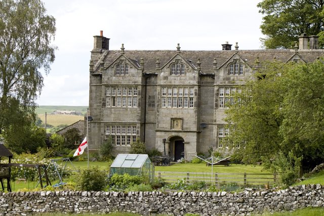
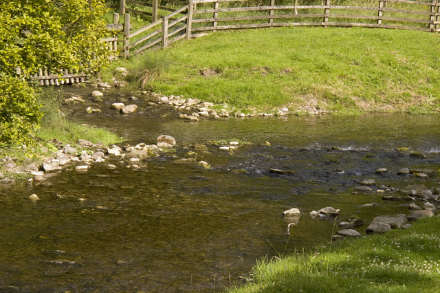
Images are sourced within 2km of 53.99737/-2.1149047 or Grid Reference SD9255. Thanks to Geograph Open Source API. All images are credited.
Butter Haw Hill Plantation is located at Grid Ref: SD9255 (Lat: 53.99737, Lng: -2.1149047)
Division: West Riding
Administrative County: North Yorkshire
District: Craven
Police Authority: North Yorkshire
What 3 Words
///effort.genetics.rehearsed. Near Gargrave, North Yorkshire
Related Wikis

Gargrave
Gargrave is a large village and civil parish in the Craven district located along the A65, 4 miles (6 km) north-west of Skipton in North Yorkshire, England...

Eshton
Eshton is a small village and civil parish in the Craven district of North Yorkshire, England. At the 2011 Census the population was less than 100 and...

Gargrave railway station
Gargrave is a railway station on the Bentham Line, which runs between Leeds and Morecambe via Skipton. The station, situated 30 miles (48 km) north-west...

Flasby
Flasby is a hamlet in the Yorkshire Dales in North Yorkshire, England. It is one of the two settlements, with Winterburn, in the civil parish of Flasby...

Bell Busk
Bell Busk is a hamlet situated in the Craven district of North Yorkshire, England. The hamlet is located at the southern end of Malhamdale where the nascent...

Coniston Cold
Coniston Cold is a village and civil parish in the Craven district of North Yorkshire, England. Historically part of the Staincliffe Wapentake of the West...

Bell Busk railway station
Bell Busk railway station served the hamlet of Bell Busk in North Yorkshire, England. It was located on the Leeds to Morecambe Line between Gargrave and...

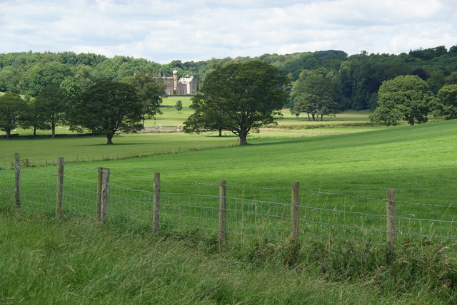
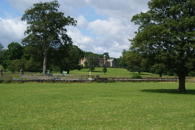
Newfield Hall
Newfield Hall is a former country house located 1 mile (1.6 km) to the southeast of the village of Airton, North Yorkshire, England. It is now a hotel...
Nearby Amenities
Located within 500m of 53.99737,-2.1149047Have you been to Butter Haw Hill Plantation?
Leave your review of Butter Haw Hill Plantation below (or comments, questions and feedback).