Birch Wood
Wood, Forest in Staffordshire
England
Birch Wood
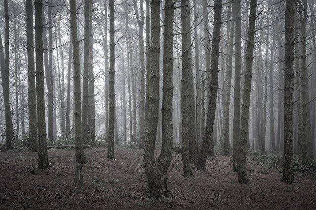
Birch Wood is a picturesque forest located in Staffordshire, England. Covering an area of approximately 500 acres, it is a popular destination for nature enthusiasts and outdoor adventurers. The wood is named after the abundance of birch trees that dominate its landscape, creating a serene and tranquil atmosphere.
The forest is characterized by its diverse flora and fauna, offering visitors a unique opportunity to explore and observe the natural beauty of the area. The tall, slender trunks of the birch trees provide a striking contrast against the lush green undergrowth, creating a visually pleasing sight. The wood is also home to a variety of other tree species such as oak, beech, and pine, adding to its biodiversity.
Visitors to Birch Wood can enjoy a range of activities including walking, hiking, and birdwatching. There are numerous well-maintained trails that wind through the forest, allowing visitors to explore its hidden corners and discover its hidden gems. The forest is also home to a diverse range of wildlife, including deer, foxes, and a multitude of bird species, making it a paradise for nature lovers and photographers.
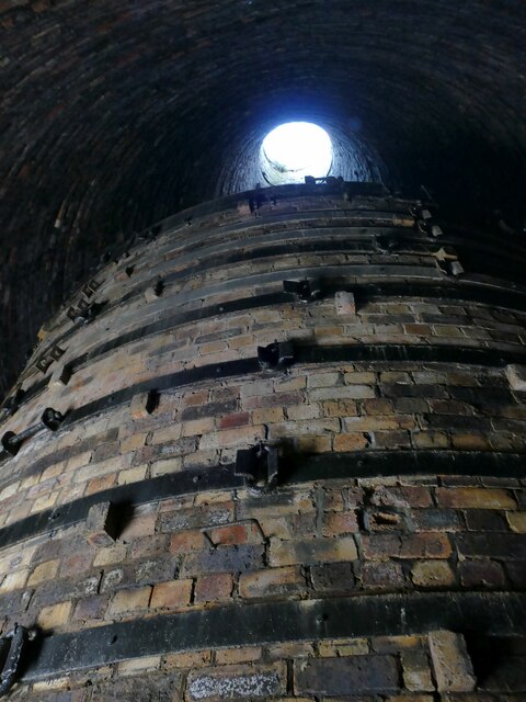
In addition to its natural beauty, Birch Wood is also known for its historical significance. The wood has been used for centuries as a source of timber and fuel, and remnants of old charcoal pits can still be found scattered throughout the area. These historical remnants add a layer of intrigue and cultural heritage to the wood, making it a fascinating destination for history enthusiasts.
Overall, Birch Wood in Staffordshire is a captivating destination that offers visitors a chance to immerse themselves in nature, explore its diverse ecosystem, and experience the rich history of the area.
If you have any feedback on the listing, please let us know in the comments section below.
Birch Wood Images
Images are sourced within 2km of 52.990277/-2.1089158 or Grid Reference SJ9243. Thanks to Geograph Open Source API. All images are credited.

Birch Wood is located at Grid Ref: SJ9243 (Lat: 52.990277, Lng: -2.1089158)
Unitary Authority: Stoke-on-Trent
Police Authority: Staffordshire
What 3 Words
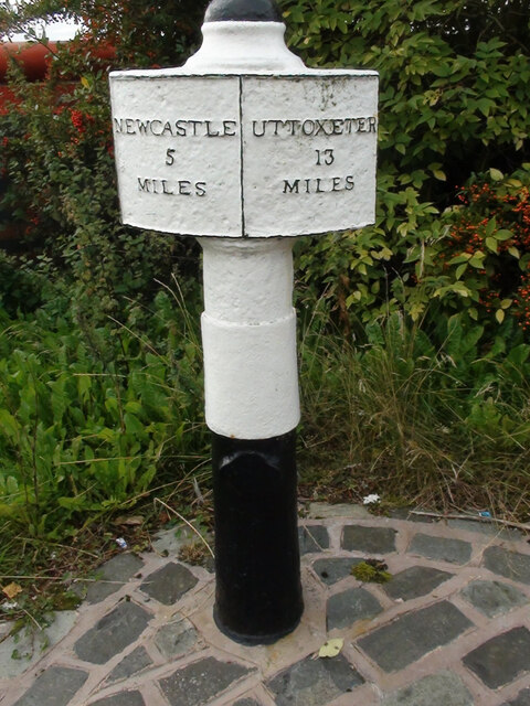
///agree.piles.bland. Near Longton, Staffordshire
Nearby Locations
Related Wikis

Weston Coyney
Weston Coyney is a suburb of the City of Stoke-on-Trent in Staffordshire. It lies on the south eastern edge of the city and borders the neighbouring Staffordshire...
Foley Meir F.C.
Foley Meir Football Club is a football club based in Stoke-on-Trent, England. They are currently members of the Staffordshire County Senior League Premier...

Longton High School
Longton High School was a school in Longton and later Meir, Staffordshire from 1760 to 2010. == History == The school was founded in 1760 with an endowment...
Normacot railway station
Normacot railway station served the Normacot area of Stoke-on-Trent, England. It was opened in 1882 by the North Staffordshire Railway on its line to Derby...

Meir, Staffordshire
Meir is a suburb in Stoke-on-Trent, Staffordshire situated between Lightwood and Longton. Meir Park estate extends from Meir uphill to the Meir Heath and...
Adderley Green
Adderley Green is a village in Staffordshire, England. It is included in the township of Longton with the population at the 2011 census being listed under...
St James' Church, Longton
The church of St James-the-Less is in Uttoxeter Road, Longton, Staffordshire, Stoke-on-Trent, England. == History == St James-the-Less is a Commissioners...

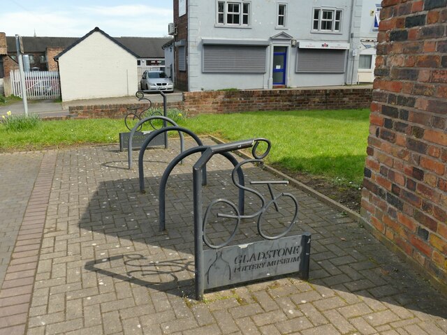
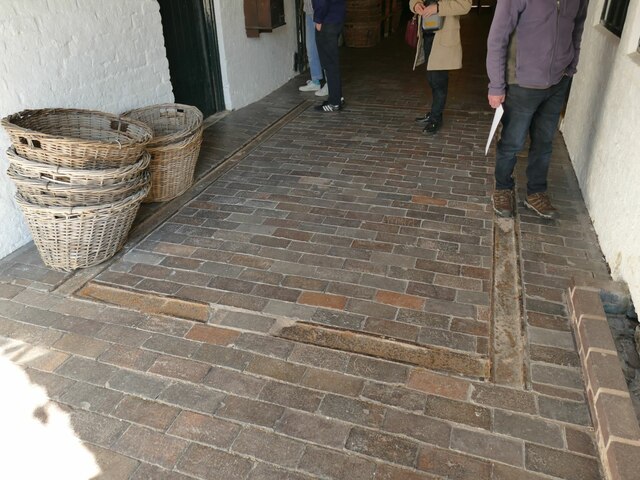
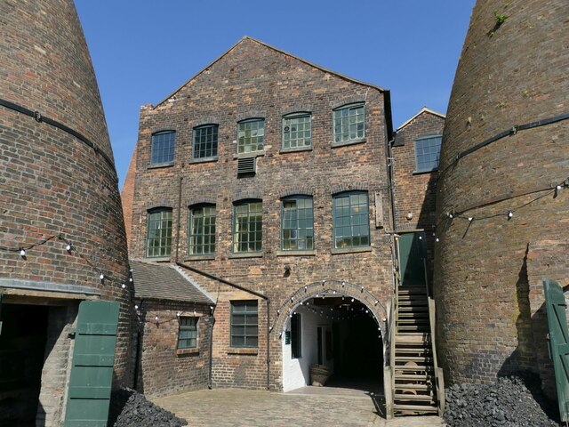
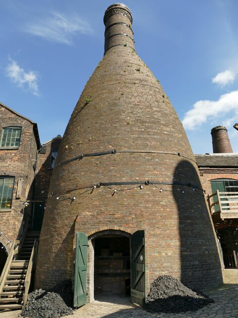
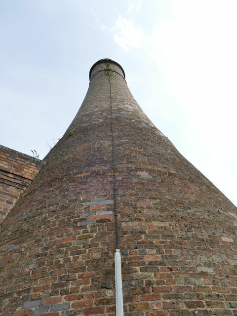
Gladstone Pottery Museum
The Gladstone Pottery Museum is a working museum of a medium-sized coal-fired pottery, typical of those once common in the North Staffordshire area of...
Nearby Amenities
Located within 500m of 52.990277,-2.1089158Have you been to Birch Wood?
Leave your review of Birch Wood below (or comments, questions and feedback).