Dallabank Wood
Wood, Forest in Northumberland
England
Dallabank Wood
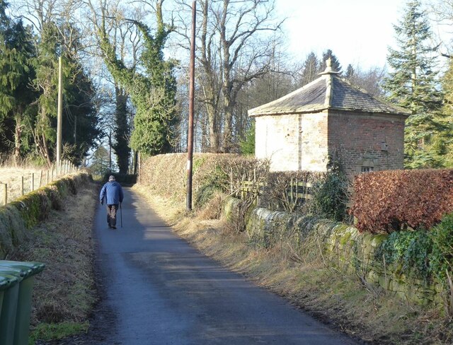
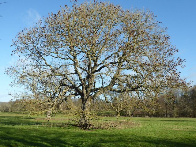
Dallabank Wood is a picturesque woodland located in Northumberland, England. Covering an area of approximately 150 acres, it is situated near the village of Wall, just a short distance from Hadrian's Wall, a UNESCO World Heritage site. The wood is owned and managed by the National Trust and is a popular destination for nature lovers and outdoor enthusiasts.
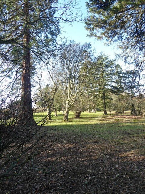
The woodland is predominantly composed of broadleaf trees, including oak, ash, beech, and birch, which provide a diverse and vibrant ecosystem. Visitors can explore a network of walking trails that wind through the wood, offering opportunities to observe a variety of flora and fauna along the way. Bluebells, wild garlic, and wood anemones carpet the forest floor in spring, creating a stunning display of color.
Dallabank Wood is also home to a range of wildlife, including roe deer, badgers, foxes, and a variety of bird species. Birdwatchers can spot woodpeckers, nuthatches, and various migratory birds in the wood's canopies.
The wood offers a tranquil and peaceful environment, making it an ideal place for relaxation and reflection. Visitors can enjoy a picnic amidst the serene surroundings or simply take in the beauty of nature.
Dallabank Wood is easily accessible, with a car park located nearby for visitors' convenience. It is open to the public year-round, and there is no admission fee, although donations to the National Trust are encouraged to support the ongoing conservation efforts.
If you have any feedback on the listing, please let us know in the comments section below.
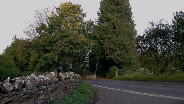
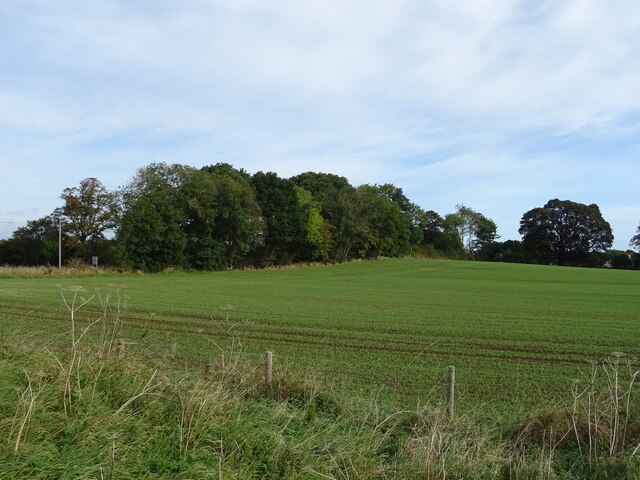
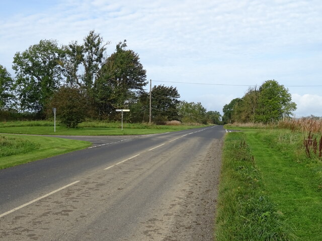
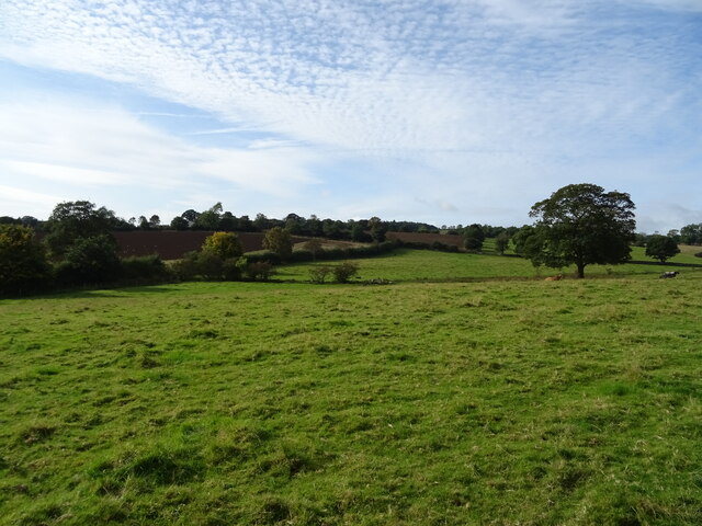
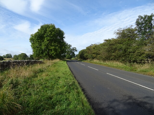
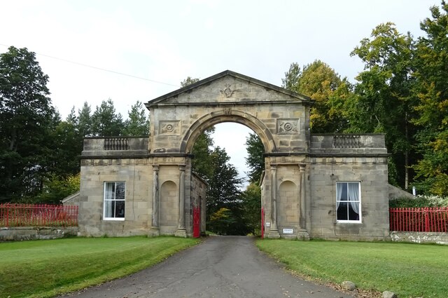
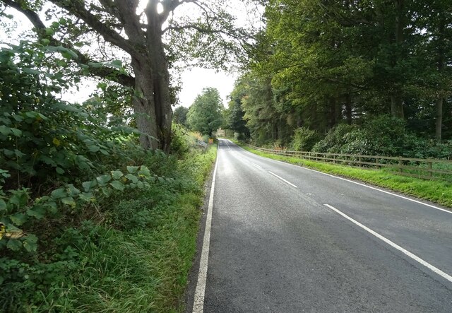
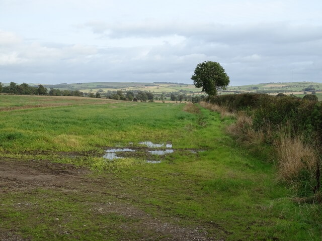
Dallabank Wood Images
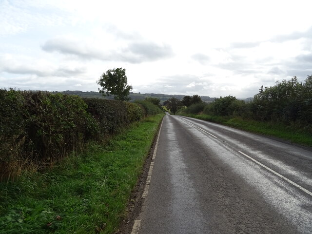
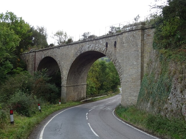
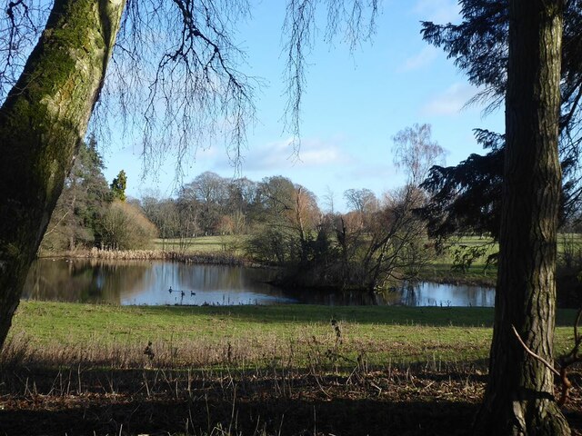
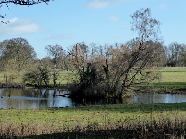
Images are sourced within 2km of 55.050724/-2.1211789 or Grid Reference NY9272. Thanks to Geograph Open Source API. All images are credited.
Dallabank Wood is located at Grid Ref: NY9272 (Lat: 55.050724, Lng: -2.1211789)
Unitary Authority: Northumberland
Police Authority: Northumbria
What 3 Words
///eased.spreading.sits. Near Birtley, Northumberland
Nearby Locations
Related Wikis
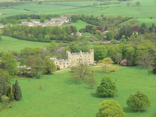
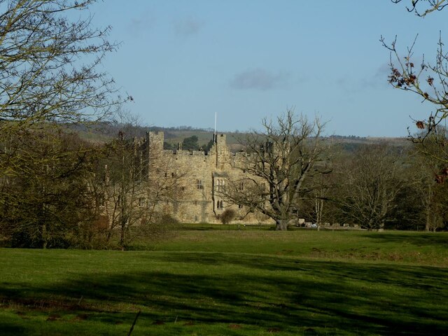
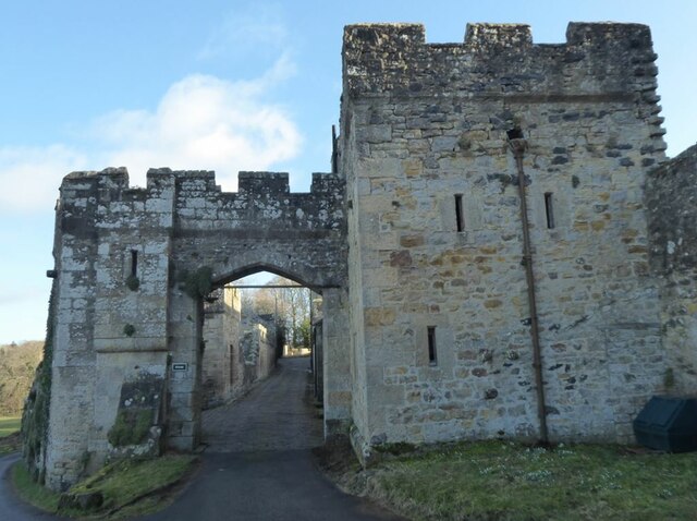
Haughton Castle
Haughton Castle is a privately owned country mansion and Grade I listed building, situated to the north of the village of Humshaugh on the west bank of...
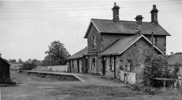
Barrasford railway station
Barrasford railway station served the village of Barrasford, Northumberland, England from 1859 to 1958 on the Border Counties Railway. == History == The...

Barrasford
Barrasford is a village in Northumberland, England. It is situated to the north of Hexham, on the North Tyne. Barrasford is an ancient village that lies...

Chollerton railway station
Chollerton railway station served the village of Chollerton, Northumberland, England from 1859 to 1958 on the Border Counties Railway. == History == The...
Nearby Amenities
Located within 500m of 55.050724,-2.1211789Have you been to Dallabank Wood?
Leave your review of Dallabank Wood below (or comments, questions and feedback).