Chollerton

Settlement in Northumberland

England

Chollerton

Della Bank, Barrasford
Della Bank, Barrasford Credit: JThomas

Chollerton is a small village located in the county of Northumberland, England. Situated approximately 13 miles west of the market town of Hexham, Chollerton lies on the southern bank of the River North Tyne. It is a picturesque area surrounded by rolling hills and farmland, offering a tranquil and rural setting.

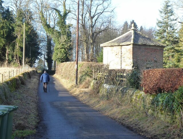
The village itself is home to a close-knit community, with a population of around 300 residents. Chollerton is known for its charming stone-built cottages, many of which date back several centuries, adding to the village's historical charm.

One of the notable landmarks in Chollerton is St. Giles' Church, a beautiful 12th-century structure that stands as a testament to the area's rich heritage. The church is known for its stunning stained glass windows and intricate architecture, attracting visitors from near and far.

The village also boasts a primary school, providing education for the local children, and a village hall that serves as a hub for various community activities and events. Additionally, Chollerton is well-served by public transport, with regular bus services connecting it to nearby towns and villages.

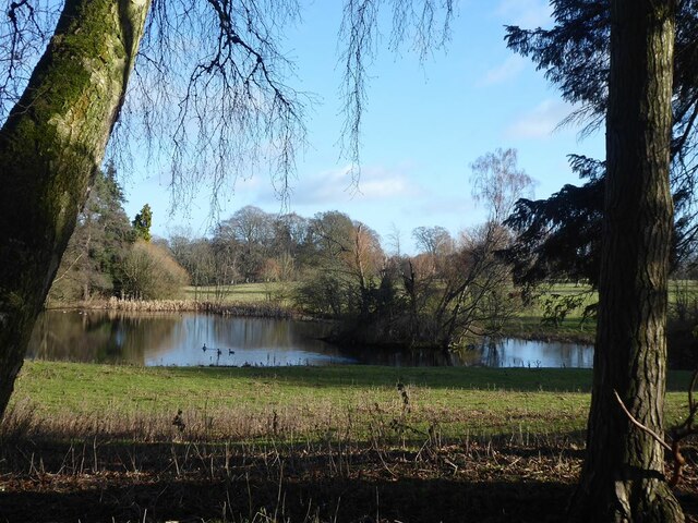
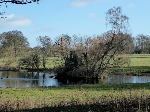
The surrounding area offers numerous opportunities for outdoor activities, such as walking, cycling, and fishing, thanks to its proximity to the Northumberland National Park and the River North Tyne. The stunning countryside and scenic landscapes make Chollerton a popular destination for nature enthusiasts and those seeking a peaceful retreat.

In conclusion, Chollerton is a charming and idyllic village in Northumberland, offering a close-knit community, historical landmarks, and easy access to the natural beauty of the surrounding countryside.

If you have any feedback on the listing, please let us know in the comments section below.
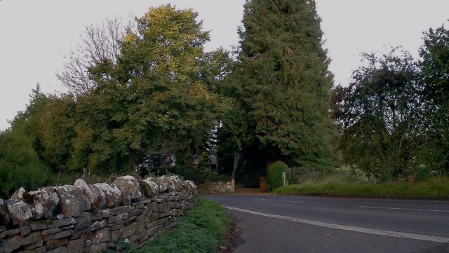
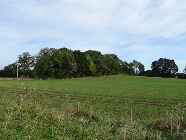
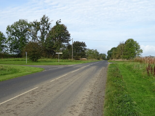
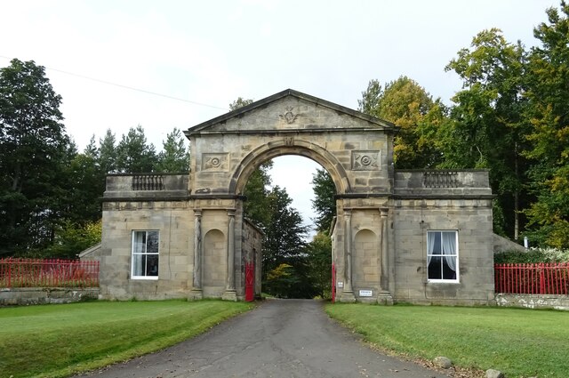
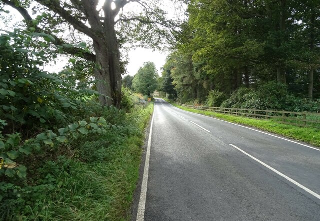
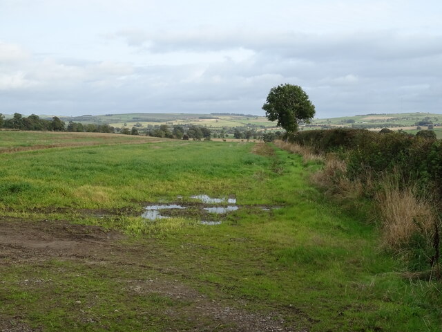
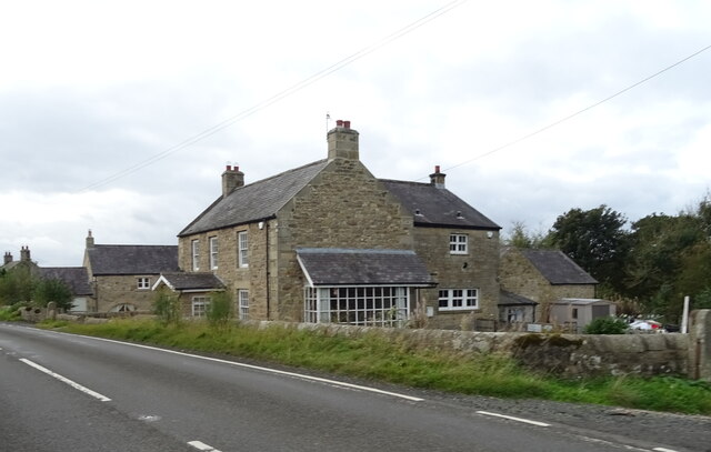
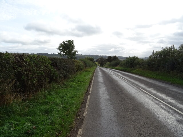
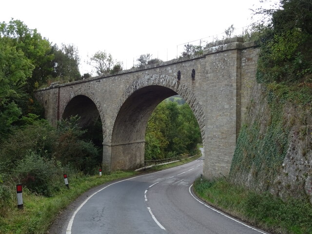
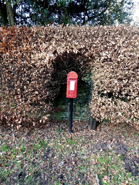
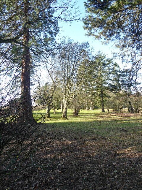
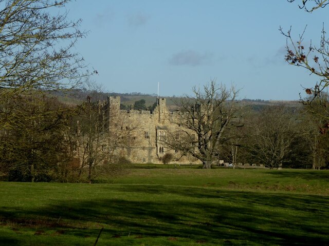
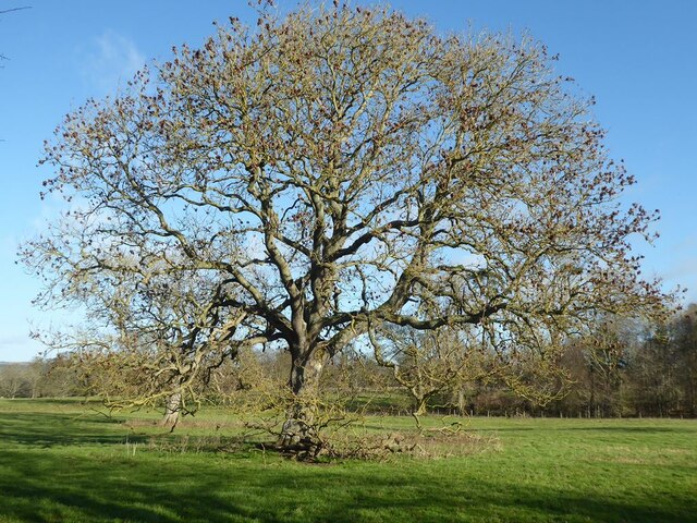
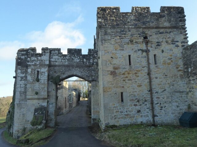
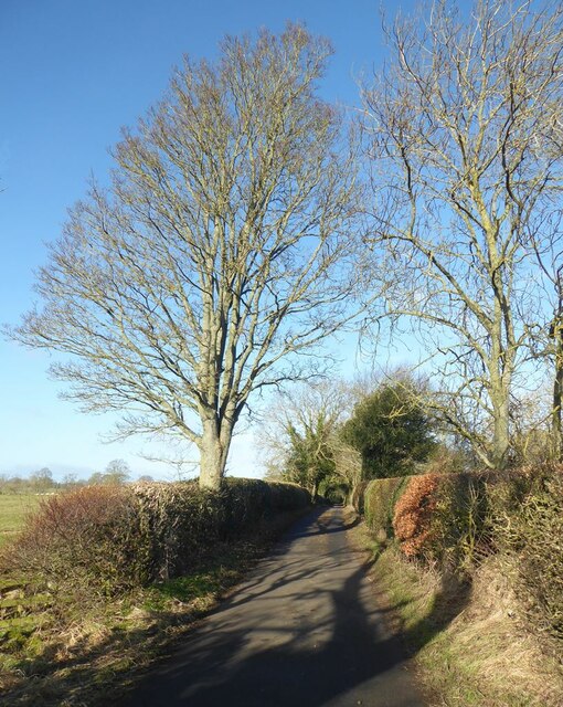
Chollerton Images

Images are sourced within 2km of 55.043217/-2.111984 or Grid Reference NY9272. Thanks to Geograph Open Source API. All images are credited.

Della Bank, Barrasford
Crop field, Humshaugh Off the B6320.
Crop field, Humshaugh
Off the B6320.
B6320 approaching crossroads Towards Wark.
B6320 approaching crossroads
Towards Wark.
Gatehouse to the Hermitage, Barrasford In 2008 - <a href="https://www.geograph.org.uk/photo/959948">NY9373 : Gatehouse to the Hermitage, Barrasford</a>
Gatehouse to the Hermitage, Barrasford
A6079 towards Chollerton
Field and hedgerow near Chollerton East of the A6079.
Field and hedgerow near Chollerton
East of the A6079.
House on the A6079, Dunkirk
A6079 heading south Approaching Chollerton.
A6079 heading south
Approaching Chollerton.
Railway bridge over the A6079, Chollerton Carries the former Border Counties Railway which connected Hexham in Northumberland, with Riccarton Junction on the Waverley Route in Roxburghshire. It closed to passengers in 1955.
Railway bridge over the A6079, Chollerton
Carries the former Border Counties Railway which connected Hexham in Northumberland, with Riccarton Junction on the Waverley Route in Roxburghshire. It closed to passengers in 1955.
Lake in the grounds of Haughton Castle
Lane by Haughton Castle The small building on the right is an 18th century structure combining the twin functions of summer house and dovecote.
Lane by Haughton Castle
The small building on the right is an 18th century structure combining the twin functions of summer house and dovecote.
Letter box by Haughton Castle Standing in a neatly-sculpted gap in the beech hedge.
Letter box by Haughton Castle
Standing in a neatly-sculpted gap in the beech hedge.
Trees in the grounds of Wester Hall
Haughton Castle The original building dates from the 13th century, but the castle was largely rebuilt in the 19th century. Grade I listed, used as a private residence.
Haughton Castle
The original building dates from the 13th century, but the castle was largely rebuilt in the 19th century. Grade I listed, used as a private residence.
Ash tree in winter Beside the  road to Haughton Castle.
Ash tree in winter
Beside the road to Haughton Castle.
Gateway to Haughton Castle The original building dates from the 13th century, but the castle was largely rebuilt in the 19th century. Grade I listed, used as a private residence.
Gateway to Haughton Castle
The original building dates from the 13th century, but the castle was largely rebuilt in the 19th century. Grade I listed, used as a private residence.
The road to Haughton Castle
Show me another place!

Chollerton is located at Grid Ref: NY9272 (Lat: 55.043217, Lng: -2.111984)

Unitary Authority: Northumberland

Police Authority: Northumbria

What 3 Words

///telephone.excusing.homes. Near Wall, Northumberland

Related Wikis

Chollerton railway station

Chollerton railway station served the village of Chollerton, Northumberland, England from 1859 to 1958 on the Border Counties Railway. == History == The...

Chollerton

Chollerton is a village in Northumberland, England, on the A6079 road about six miles (10 km) to the north of Hexham, on the River North Tyne. Nearby villages...

Cooklaw

Cooklaw is a small settlement and (as Cocklaw) a former civil parish, now in the parish of Wall, in Northumberland, England. It is near the A6079 road...

Tynedale

Tynedale was a local government district in Northumberland, England. The district had a resident population of 58,808 according to the 2001 census. The...

Nearby Amenities

Located within 500m of 55.043217,-2.111984
Chollerton
Place: hamlet
Lat/Long: 55.0429077/-2.1093513
Note: National speed limit sign southbound
Lat/Long: 55.0405907/-2.1094229
Note: 30 mph speed limit sign southbound
Lat/Long: 55.0436857/-2.1072929
Power: pole
Lat/Long: 55.0389132/-2.1105201
Power: pole
Lat/Long: 55.0391827/-2.1117679
Power: pole
Lat/Long: 55.0395025/-2.1113352
Power: pole
Lat/Long: 55.0401061/-2.112166
Power: pole
Lat/Long: 55.0407061/-2.1129937
Power: pole
Lat/Long: 55.0412019/-2.1136803
Power: pole
Lat/Long: 55.0417103/-2.1143857
Power: pole
Lat/Long: 55.0421917/-2.1150755
Power: pole
Lat/Long: 55.0426911/-2.1157777
Power: pole
Lat/Long: 55.0433503/-2.1160317
Power: pole
Lat/Long: 55.0440347/-2.1163076
Power: pole
Lat/Long: 55.0447083/-2.1165678
Power: pole
Lat/Long: 55.0454035/-2.1168562
Power: pole
Lat/Long: 55.0460429/-2.1171008
Entrance: yes
Lat/Long: 55.0416581/-2.1094674
Historic: memorial
Lat/Long: 55.0412783/-2.1094635
Power: pole
Source: Bing
Lat/Long: 55.0425485/-2.1099141
Power: pole
Source: Bing
Lat/Long: 55.0426384/-2.1085127
Power: pole
Source: Bing
Lat/Long: 55.042583/-2.1092463
Power: pole
Source: Bing
Lat/Long: 55.0426553/-2.1078864
Power: pole
Source: Bing
Lat/Long: 55.0406589/-2.1060571
Power: pole
Source: Bing
Lat/Long: 55.0416909/-2.1066861
Power: pole
Source: Bing
Lat/Long: 55.042142/-2.1069744
Power: pole
Source: Bing
Lat/Long: 55.0425492/-2.1075752
Chollerton
Historic Railway: station
Railway: site
Wikidata: Q38251935
Wikipedia: en:Chollerton railway station
Lat/Long: 55.0416516/-2.1105779
The data included in this document is from www.openstreetmap.org. The data is made available under ODbL.

Have you been to Chollerton?

Leave your review of Chollerton below (or comments, questions and feedback).