Shotto Wood
Wood, Forest in Northumberland
England
Shotto Wood
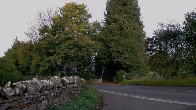
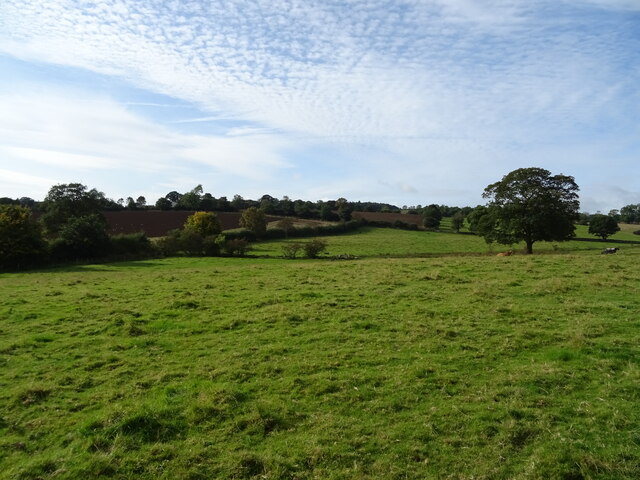
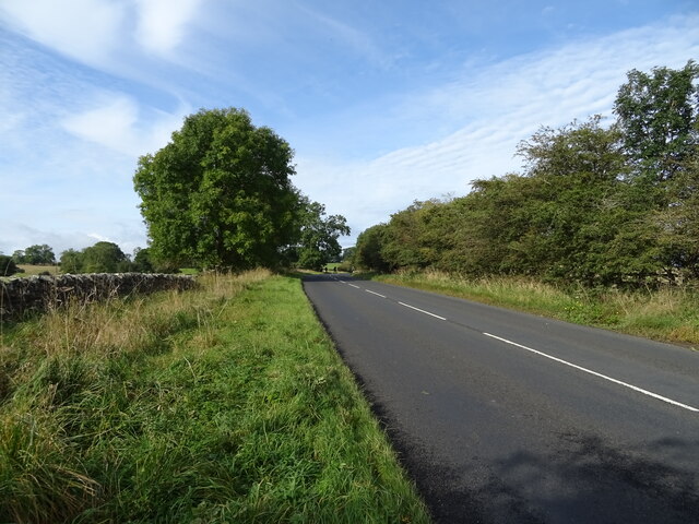
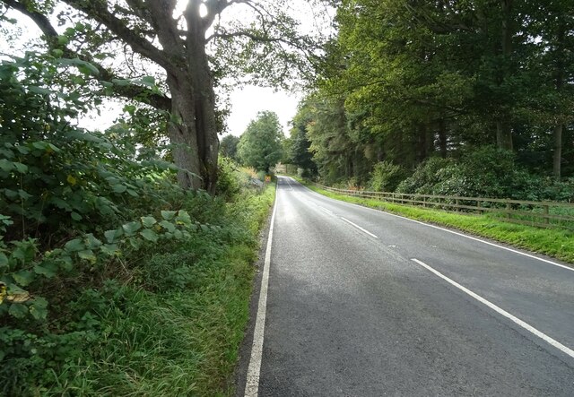
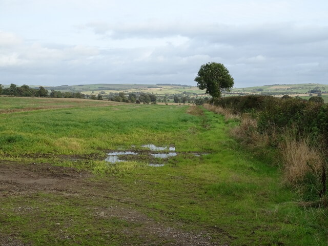
Sotto Wood is a picturesque forest nestled in the heart of Northumberland, England. Spanning approximately 500 acres, it is renowned for its natural beauty and tranquil atmosphere. The wood is located near the village of Shotto, which is surrounded by rolling hills and offers stunning views of the surrounding countryside.
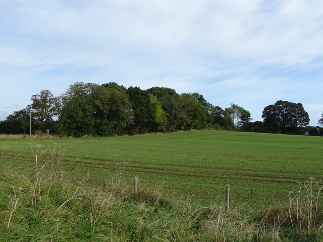
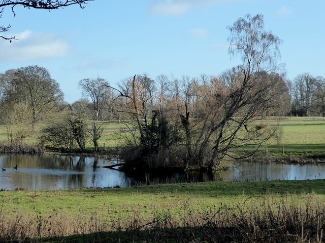
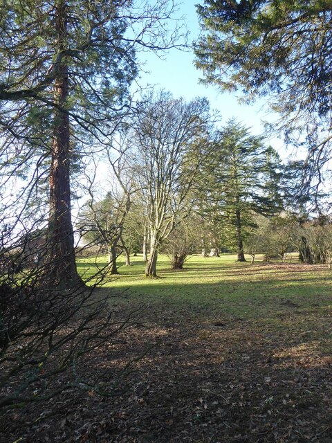
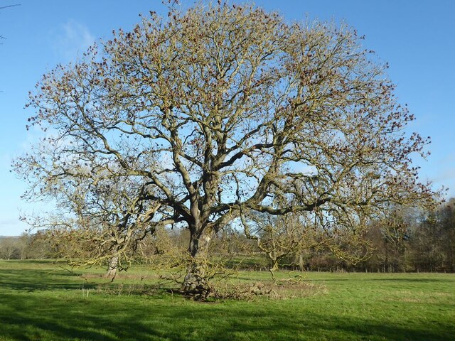
Shotto Wood is primarily composed of native broad-leaved trees, including oak, ash, and birch, which create a diverse and vibrant ecosystem. The forest floor is carpeted with a rich variety of wildflowers, mosses, and ferns, enhancing the wood's enchanting charm.
The wood is a haven for wildlife, providing a habitat for a wide range of species. Birdwatchers can spot various avian visitors, including buzzards, woodpeckers, and owls, while the lucky few may even catch a glimpse of the elusive red squirrel. The wood also attracts small mammals like badgers, foxes, and rabbits, adding to its biodiversity.
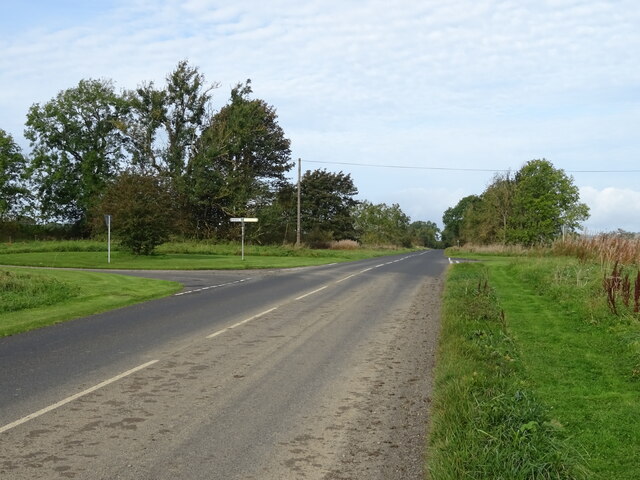
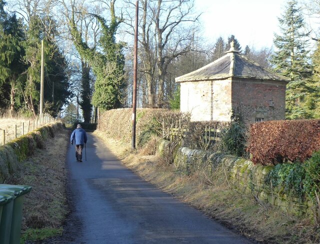
Visitors to Shotto Wood can explore its network of walking trails, which wind through the forest and offer breathtaking views of the surrounding landscape. The peaceful ambiance of the wood makes it an ideal destination for nature lovers, hikers, and those seeking a tranquil escape from the hustle and bustle of everyday life.
It is worth noting that access to Shotto Wood is free, and there are no designated facilities within the wood itself. However, nearby villages offer amenities such as parking, cafes, and picnic areas for visitors to enjoy before or after their woodland adventures.
If you have any feedback on the listing, please let us know in the comments section below.
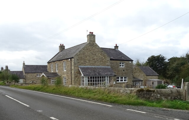
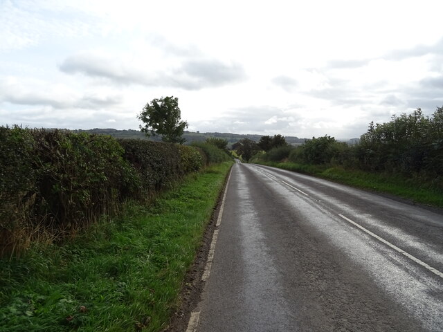
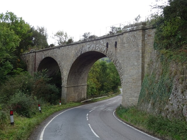
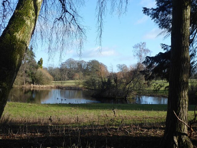
Shotto Wood Images
Images are sourced within 2km of 55.045973/-2.1182223 or Grid Reference NY9272. Thanks to Geograph Open Source API. All images are credited.
Shotto Wood is located at Grid Ref: NY9272 (Lat: 55.045973, Lng: -2.1182223)
Unitary Authority: Northumberland
Police Authority: Northumbria
What 3 Words
///thrusters.quite.incurs. Near Wall, Northumberland
Nearby Locations
Related Wikis

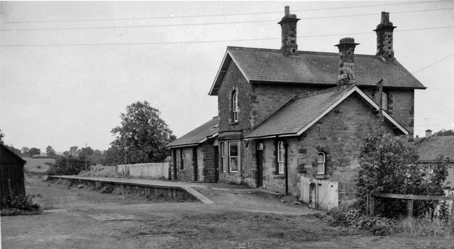
Chollerton railway station
Chollerton railway station served the village of Chollerton, Northumberland, England from 1859 to 1958 on the Border Counties Railway. == History == The...
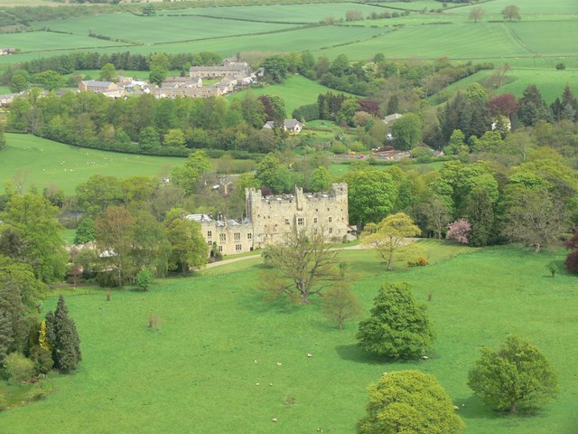
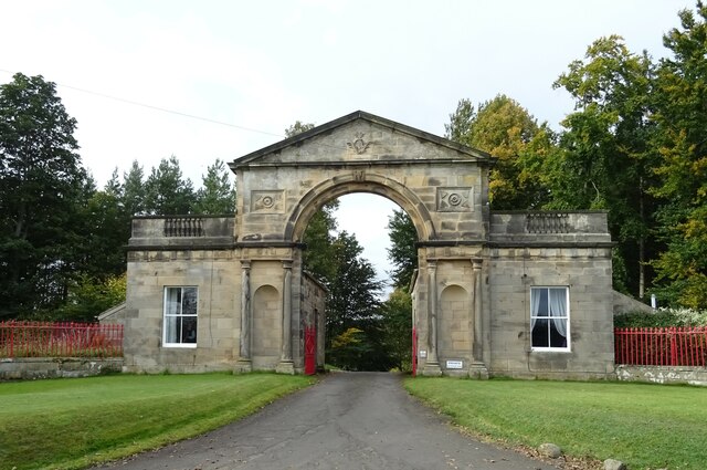
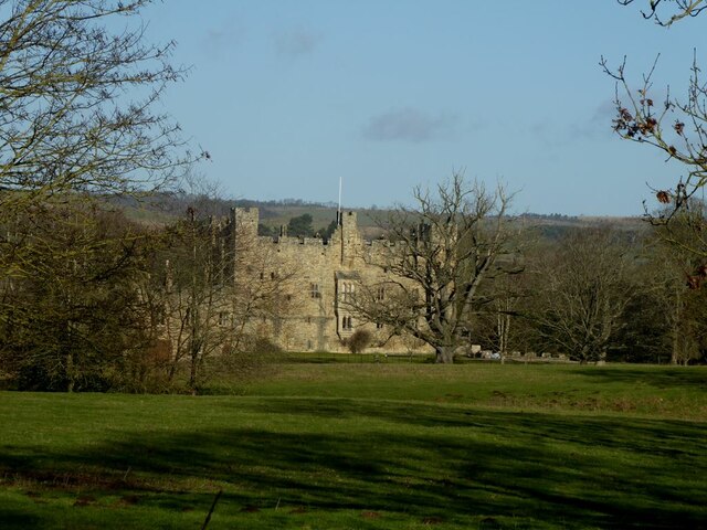
Haughton Castle
Haughton Castle is a privately owned country mansion and Grade I listed building, situated to the north of the village of Humshaugh on the west bank of...

Chollerton
Chollerton is a village in Northumberland, England, on the A6079 road about six miles (10 km) to the north of Hexham, on the River North Tyne. Nearby villages...

Tynedale
Tynedale was a local government district in Northumberland, England. The district had a resident population of 58,808 according to the 2001 census. The...

Cooklaw
Cooklaw is a small settlement and (as Cocklaw) a former civil parish, now in the parish of Wall, in Northumberland, England. It is near the A6079 road...
Barrasford railway station
Barrasford railway station served the village of Barrasford, Northumberland, England from 1859 to 1958 on the Border Counties Railway. == History == The...

Barrasford
Barrasford is a village in Northumberland, England. It is situated to the north of Hexham, on the North Tyne. Barrasford is an ancient village that lies...

Humshaugh
Humshaugh () is a parish near Hexham in Northumberland, England. The village had a population of 622 in the 2011 census, and is just north of Chollerford...
Nearby Amenities
Located within 500m of 55.045973,-2.1182223Have you been to Shotto Wood?
Leave your review of Shotto Wood below (or comments, questions and feedback).