Spruce Wood
Wood, Forest in Northumberland
England
Spruce Wood
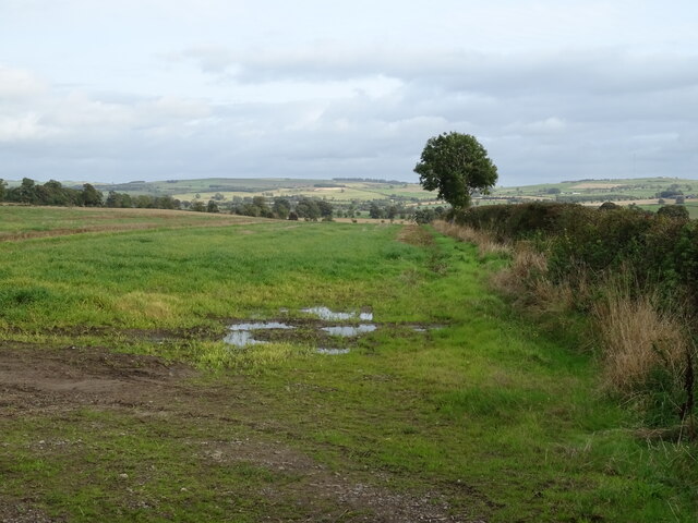
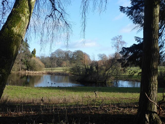
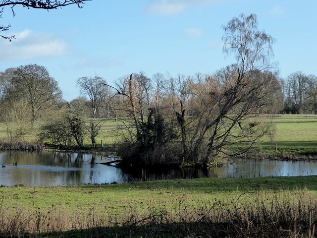
Spruce Wood is a picturesque forest located in the county of Northumberland, in the northeastern region of England. Covering an expansive area of land, the wood is home to a diverse range of flora and fauna, making it a haven for nature enthusiasts and wildlife lovers.
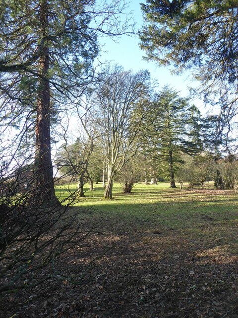
The forest is predominantly composed of spruce trees, which are known for their tall stature and dense foliage. These evergreen conifers provide a lush green canopy that stretches as far as the eye can see, creating a tranquil and enchanting atmosphere within the wood. The towering spruces also offer a sense of seclusion, allowing visitors to immerse themselves in the peacefulness of nature.
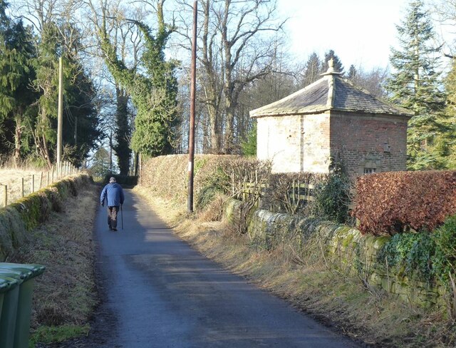
Spruce Wood is crisscrossed by a network of well-maintained trails, providing visitors with the opportunity to explore its beauty on foot. As they wander through the forest, visitors may come across a variety of wildlife, including deer, rabbits, squirrels, and a wide array of bird species. The wood is particularly renowned for its birdwatching opportunities, attracting enthusiasts from far and wide.
The forest is open to the public year-round, offering visitors the chance to experience its ever-changing beauty throughout the seasons. In spring, the wood comes alive with vibrant wildflowers, while autumn paints the forest floor in a tapestry of rich reds, oranges, and yellows. Winter brings a serene stillness to the wood, with snow-covered branches creating a postcard-worthy scene.
Overall, Spruce Wood is a captivating and tranquil destination that showcases the natural splendor of Northumberland. Whether it's a leisurely stroll, birdwatching, or simply taking a moment to appreciate the serenity of nature, this forest offers a truly unforgettable experience for all who visit.
If you have any feedback on the listing, please let us know in the comments section below.
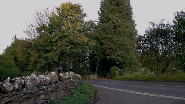
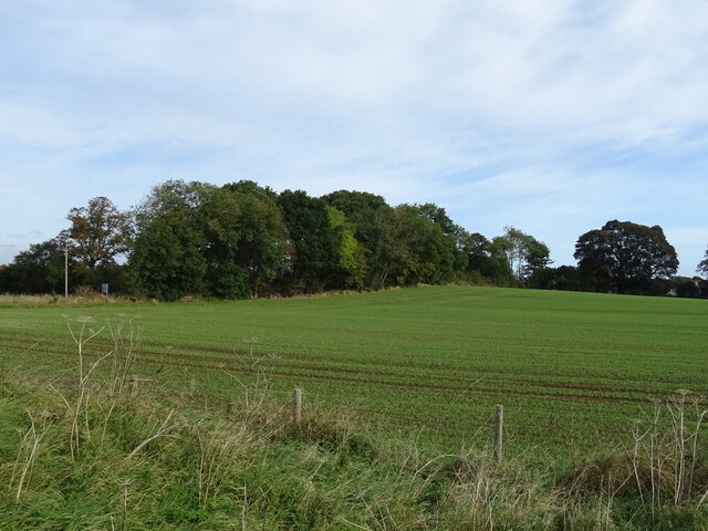
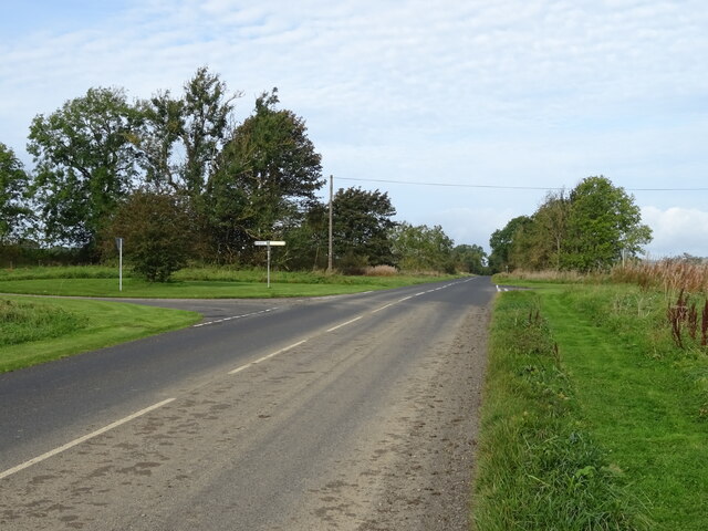
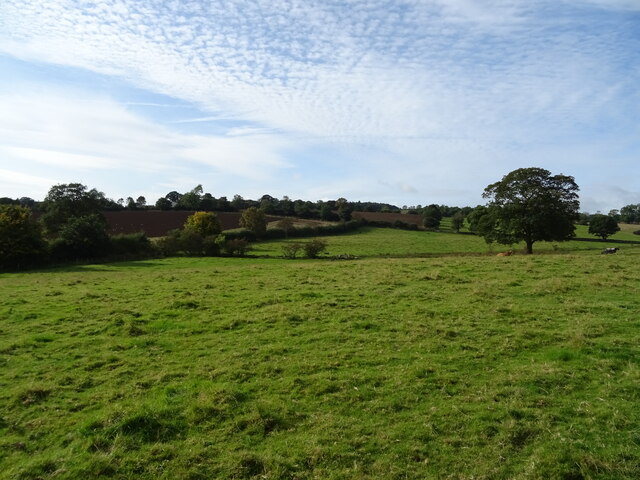
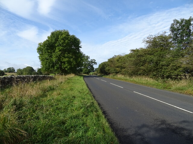
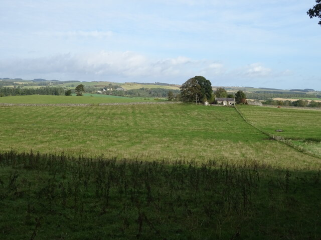
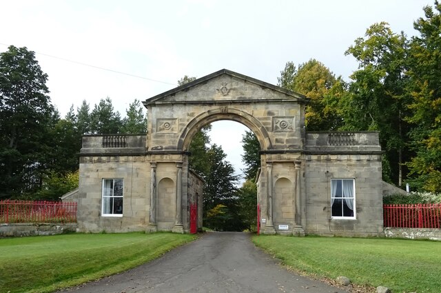
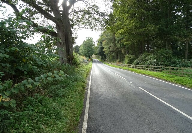
Spruce Wood Images
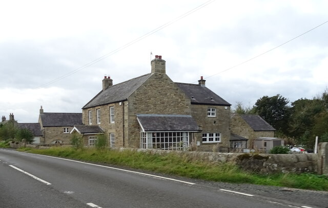
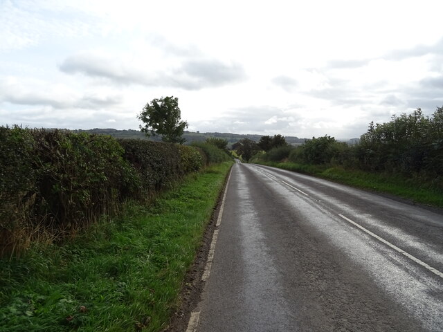
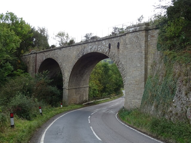
Images are sourced within 2km of 55.043659/-2.1225347 or Grid Reference NY9272. Thanks to Geograph Open Source API. All images are credited.
Spruce Wood is located at Grid Ref: NY9272 (Lat: 55.043659, Lng: -2.1225347)
Unitary Authority: Northumberland
Police Authority: Northumbria
What 3 Words
///slogged.endearing.meanders. Near Wall, Northumberland
Nearby Locations
Related Wikis

Chollerton railway station
Chollerton railway station served the village of Chollerton, Northumberland, England from 1859 to 1958 on the Border Counties Railway. == History == The...
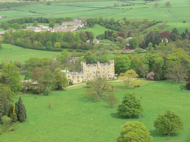
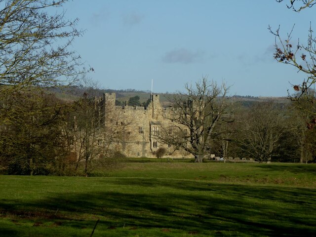
Haughton Castle
Haughton Castle is a privately owned country mansion and Grade I listed building, situated to the north of the village of Humshaugh on the west bank of...

Tynedale
Tynedale was a local government district in Northumberland, England. The district had a resident population of 58,808 according to the 2001 census. The...

Chollerton
Chollerton is a village in Northumberland, England, on the A6079 road about six miles (10 km) to the north of Hexham, on the River North Tyne. Nearby villages...

Humshaugh
Humshaugh () is a parish near Hexham in Northumberland, England. The village had a population of 622 in the 2011 census, and is just north of Chollerford...

Cooklaw
Cooklaw is a small settlement and (as Cocklaw) a former civil parish, now in the parish of Wall, in Northumberland, England. It is near the A6079 road...

Hadrian's Wall Path
Hadrian's Wall Path is a long-distance footpath in the north of England, which became the 15th National Trail in 2003. It runs for 84 miles (135 km), from...

Barrasford
Barrasford is a village in Northumberland, England. It is situated to the north of Hexham, on the North Tyne. Barrasford is an ancient village that lies...
Nearby Amenities
Located within 500m of 55.043659,-2.1225347Have you been to Spruce Wood?
Leave your review of Spruce Wood below (or comments, questions and feedback).