Bath-house Wood
Wood, Forest in Northumberland
England
Bath-house Wood
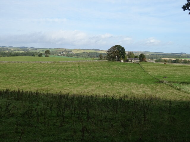
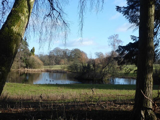
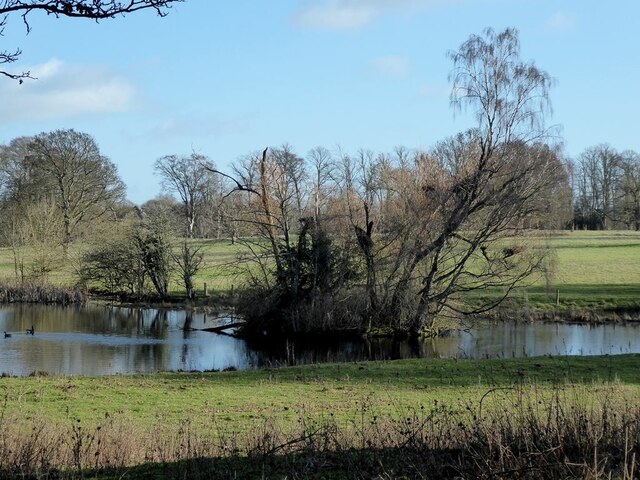
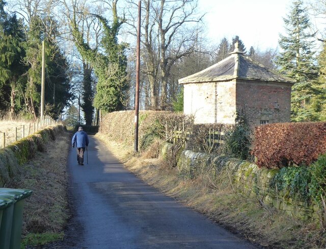
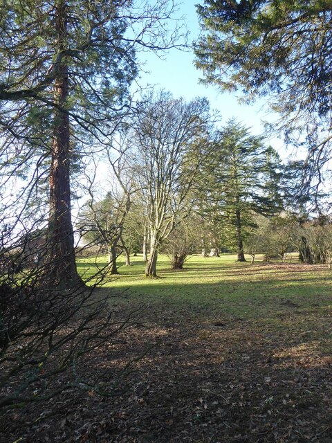
Bath-house Wood is a picturesque woodland located in Northumberland, a county in the northeast of England. Situated near the village of Holystone, this enchanting forest covers an area of approximately 160 hectares.
The wood derives its name from a historical bath-house that once stood within its boundaries. The bath-house was built in the 18th century and was believed to have been used by the local population for bathing and relaxation. Although the bath-house is no longer present, the name has endured and adds an element of intrigue to the woodland.
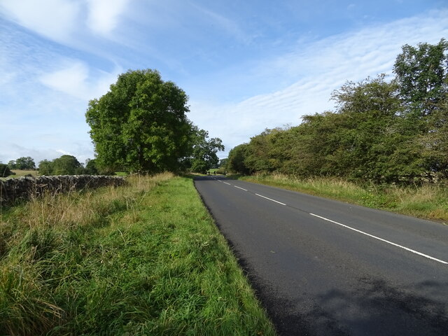
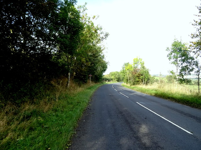
Bath-house Wood is predominantly composed of a variety of deciduous trees, including oak, birch, beech, and ash. These trees create a dense canopy, providing shade and shelter for a diverse range of flora and fauna. The forest floor is adorned with vibrant wildflowers, ferns, and mosses, adding to the beauty of the surroundings.
The wood is crisscrossed by a network of footpaths, allowing visitors to explore its many delights. These paths lead to breathtaking viewpoints, tranquil streams, and hidden glades. The wood is also home to an abundance of wildlife, including deer, squirrels, rabbits, and a variety of bird species.
Bath-house Wood is a popular destination for nature enthusiasts, hikers, and picnickers who seek solace in its peaceful atmosphere. It offers a welcome respite from the hustle and bustle of everyday life, providing a serene and natural retreat for all who visit.
If you have any feedback on the listing, please let us know in the comments section below.
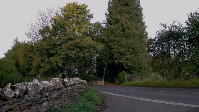
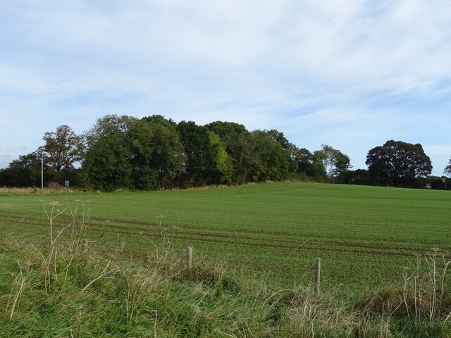
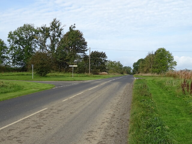
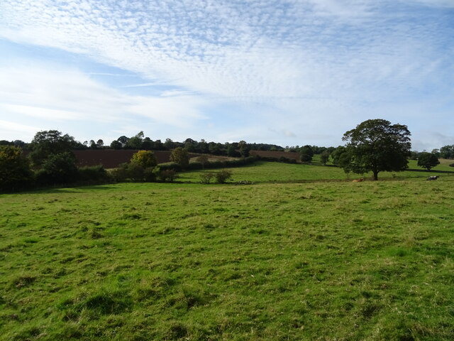
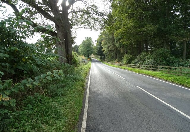
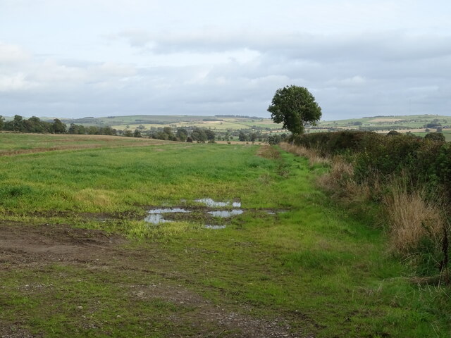
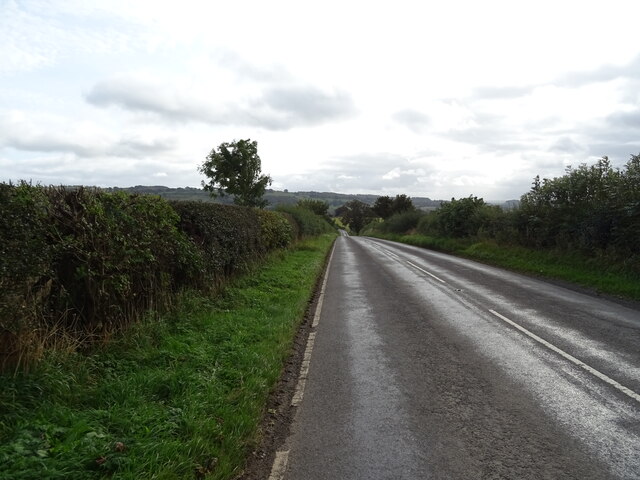
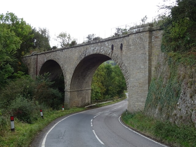
Bath-house Wood Images
Images are sourced within 2km of 55.048987/-2.1236466 or Grid Reference NY9272. Thanks to Geograph Open Source API. All images are credited.
Bath-house Wood is located at Grid Ref: NY9272 (Lat: 55.048987, Lng: -2.1236466)
Unitary Authority: Northumberland
Police Authority: Northumbria
What 3 Words
///costly.quail.stores. Near Birtley, Northumberland
Nearby Locations
Related Wikis
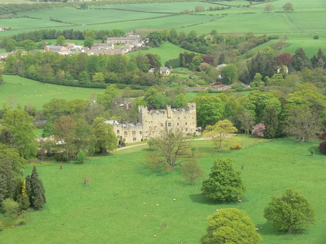
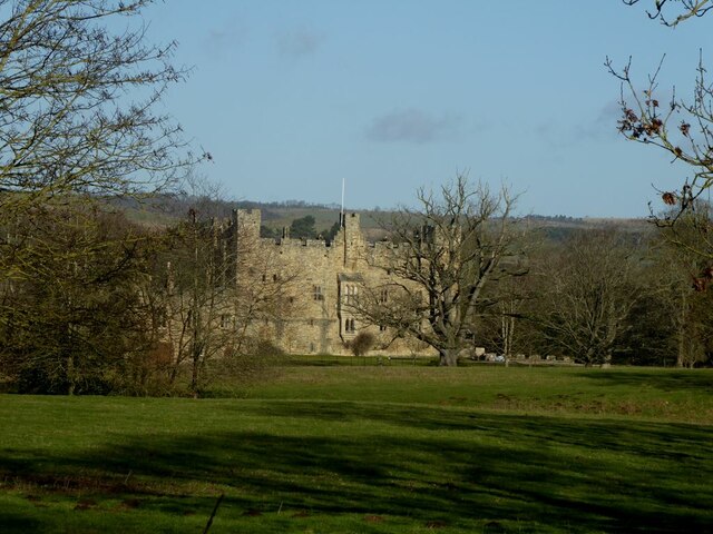
Haughton Castle
Haughton Castle is a privately owned country mansion and Grade I listed building, situated to the north of the village of Humshaugh on the west bank of...
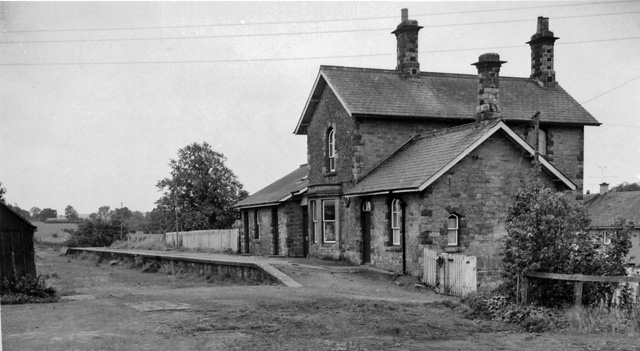
Barrasford railway station
Barrasford railway station served the village of Barrasford, Northumberland, England from 1859 to 1958 on the Border Counties Railway. == History == The...

Barrasford
Barrasford is a village in Northumberland, England. It is situated to the north of Hexham, on the North Tyne. Barrasford is an ancient village that lies...

Chollerton railway station
Chollerton railway station served the village of Chollerton, Northumberland, England from 1859 to 1958 on the Border Counties Railway. == History == The...

Chollerton
Chollerton is a village in Northumberland, England, on the A6079 road about six miles (10 km) to the north of Hexham, on the River North Tyne. Nearby villages...

Tynedale
Tynedale was a local government district in Northumberland, England. The district had a resident population of 58,808 according to the 2001 census. The...

Cooklaw
Cooklaw is a small settlement and (as Cocklaw) a former civil parish, now in the parish of Wall, in Northumberland, England. It is near the A6079 road...

Humshaugh
Humshaugh () is a parish near Hexham in Northumberland, England. The village had a population of 622 in the 2011 census, and is just north of Chollerford...
Nearby Amenities
Located within 500m of 55.048987,-2.1236466Have you been to Bath-house Wood?
Leave your review of Bath-house Wood below (or comments, questions and feedback).