Keycliff Wood
Wood, Forest in Cheshire
England
Keycliff Wood
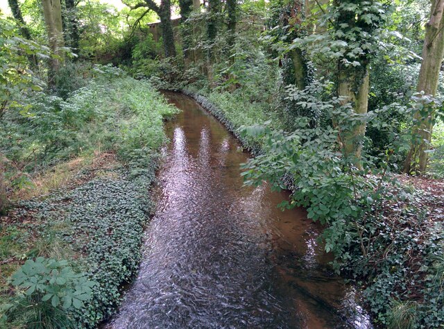
Keycliff Wood is a picturesque forest located in the county of Cheshire, England. Covering an area of approximately 100 acres, this enchanting woodland is renowned for its natural beauty and diverse wildlife. The wood is situated near the village of Keycliff, just a short distance from the bustling town of Macclesfield.
The woodland is predominantly made up of broadleaf trees, including oak, beech, and birch, which create a lush and vibrant canopy overhead. The forest floor is adorned with a rich carpet of ferns, bluebells, and various wildflowers, adding to the charm and tranquility of the surroundings.
Keycliff Wood is a popular destination for nature enthusiasts, hikers, and families alike. It offers a network of well-maintained trails, allowing visitors to explore the woodland at their own pace. These paths wind through the forest, providing glimpses of hidden streams, ancient stone walls, and peaceful glades.
The wood is also home to a diverse range of wildlife, including deer, squirrels, and a multitude of bird species. Birdwatchers will be particularly delighted by the opportunity to spot rare and migratory birds, such as woodpeckers, buzzards, and owls.
Visitors to Keycliff Wood can enjoy a range of activities, including picnicking, photography, and even camping in designated areas. The wood is managed by the local authorities, ensuring its preservation and protection for future generations to enjoy.
Overall, Keycliff Wood is a true gem of natural beauty in Cheshire, providing a serene and idyllic escape from the hustle and bustle of everyday life.
If you have any feedback on the listing, please let us know in the comments section below.
Keycliff Wood Images
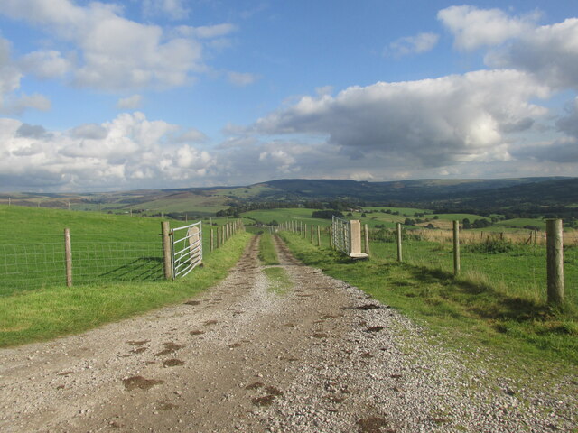
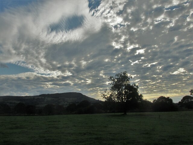
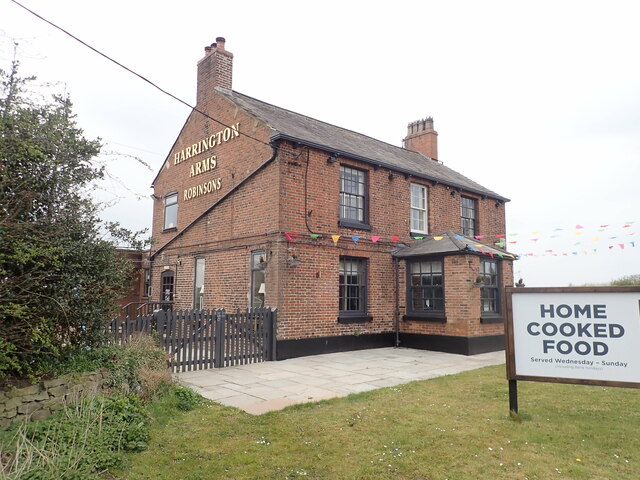
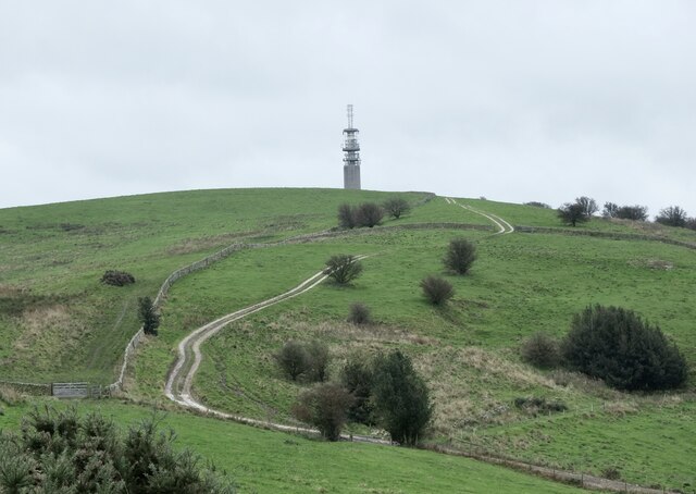
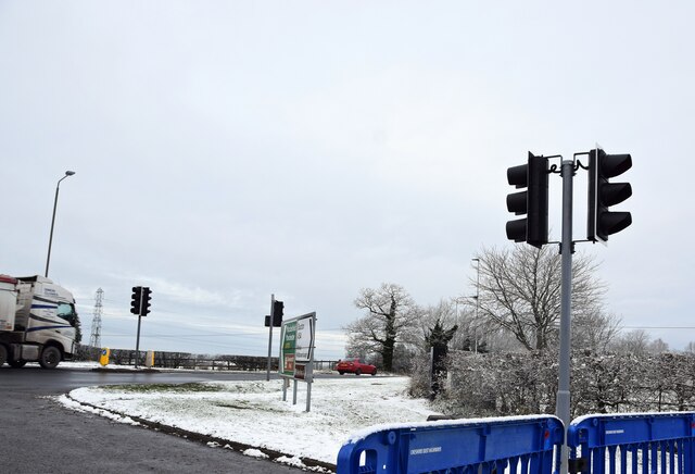
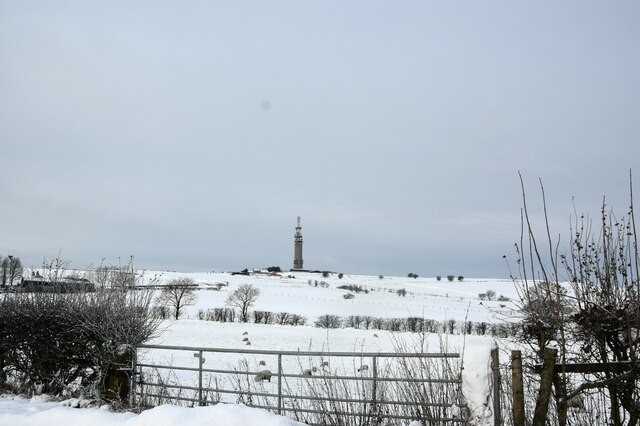
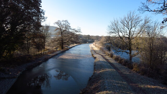
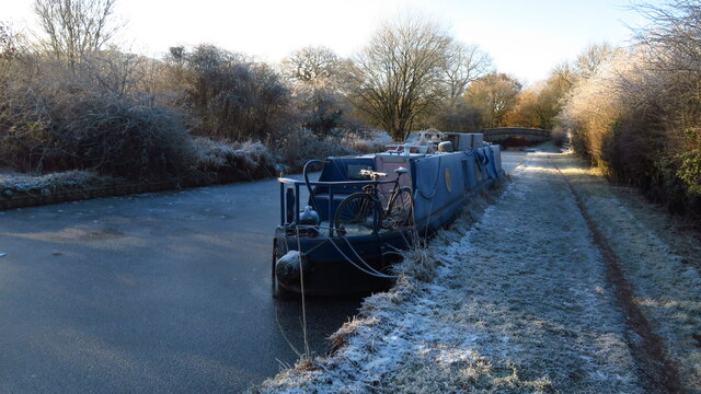
Images are sourced within 2km of 53.192404/-2.118274 or Grid Reference SJ9266. Thanks to Geograph Open Source API. All images are credited.
Keycliff Wood is located at Grid Ref: SJ9266 (Lat: 53.192404, Lng: -2.118274)
Unitary Authority: Cheshire East
Police Authority: Cheshire
What 3 Words
///courtyard.validated.siblings. Near Eaton, Cheshire
Nearby Locations
Related Wikis

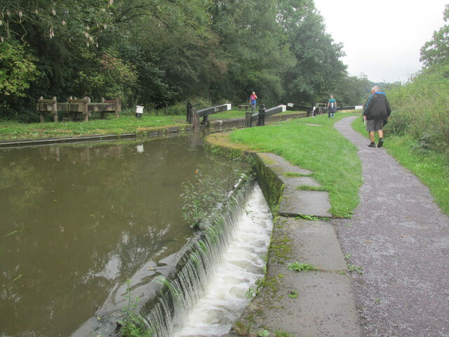
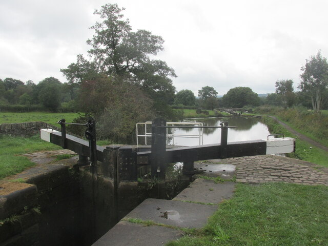
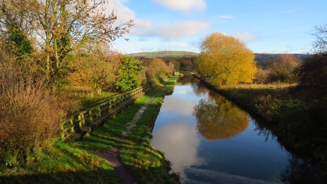
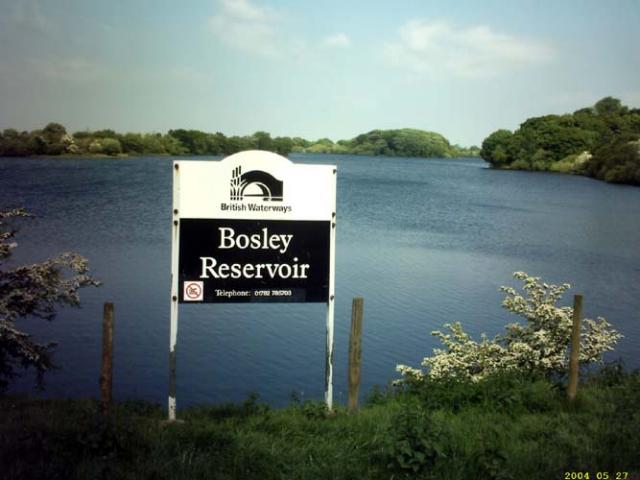
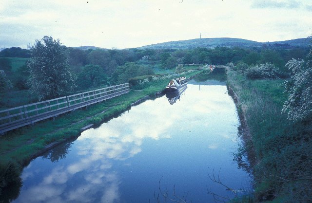
Bosley Reservoir
Bosley Reservoir is a large reservoir created to feed the Macclesfield Canal system, specifically the twelve Bosley locks. It is fed from the surrounding...

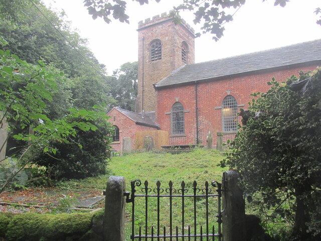
Church of St Mary the Virgin, Bosley
The Church of St Mary the Virgin is in Leek Road, Bosley, Cheshire, England. It is recorded in the National Heritage List for England as a designated Grade...
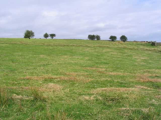
Bosley
Bosley is a village and civil parish in Cheshire, England. At the 2001 census, it had a population of 406. The village is on the A523 road near to where...
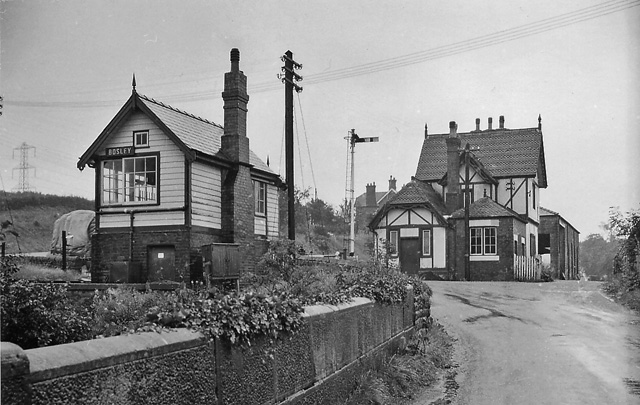
Bosley railway station
Bosley railway station served the village of Bosley, Cheshire. The station was opened by the North Staffordshire Railway in September 1849 as part of the...
Nearby Amenities
Located within 500m of 53.192404,-2.118274Have you been to Keycliff Wood?
Leave your review of Keycliff Wood below (or comments, questions and feedback).