Bosley Reservoir
Lake, Pool, Pond, Freshwater Marsh in Cheshire
England
Bosley Reservoir
Bosley Reservoir is a man-made body of water located in Cheshire, England. It serves as a freshwater reservoir that supplies drinking water to the nearby town of Macclesfield. The reservoir is situated within the Bosley Cloud country park, a popular recreational area known for its scenic beauty and diverse wildlife.
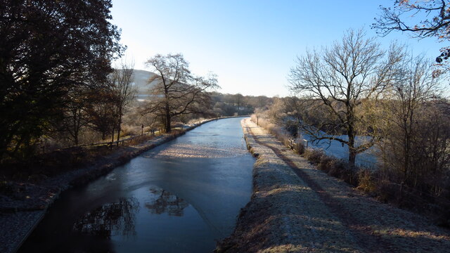
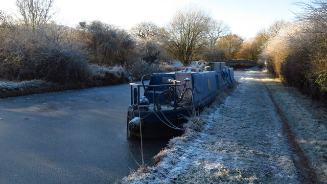
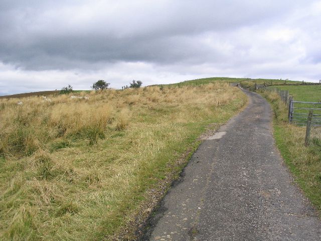
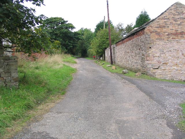
Covering an approximate area of 64 acres, Bosley Reservoir is a relatively small body of water. It was constructed in the 1930s by damming the River Dane, creating a reliable water source for the surrounding area. The reservoir is surrounded by rolling hills and picturesque countryside, making it a popular destination for outdoor enthusiasts and nature lovers.
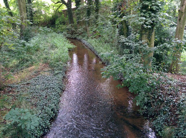
The calm waters of Bosley Reservoir provide an ideal habitat for a variety of bird species, including herons, ducks, and swans. The area around the reservoir is also home to a range of other wildlife, such as rabbits, foxes, and various species of fish.
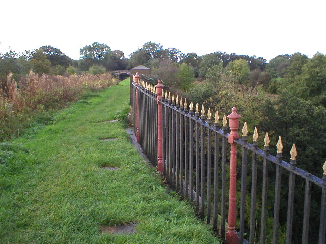
Visitors to Bosley Reservoir can engage in a range of activities, including fishing, birdwatching, and walking. The reservoir is surrounded by footpaths that offer stunning views of the surrounding countryside, making it a popular spot for hiking and leisurely walks.
Overall, Bosley Reservoir is a tranquil and scenic body of water that not only serves as a vital water source but also provides a haven for wildlife and a recreational space for visitors to enjoy the natural beauty of Cheshire.
If you have any feedback on the listing, please let us know in the comments section below.
Bosley Reservoir Images
Images are sourced within 2km of 53.191099/-2.120276 or Grid Reference SJ9266. Thanks to Geograph Open Source API. All images are credited.
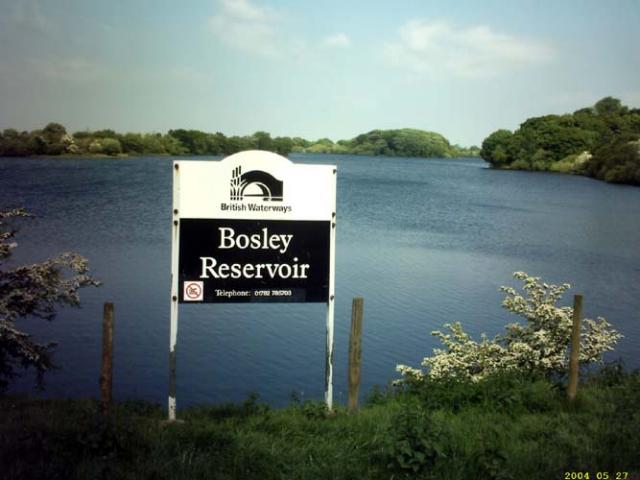
Bosley Reservoir is located at Grid Ref: SJ9266 (Lat: 53.191099, Lng: -2.120276)
Unitary Authority: Cheshire East
Police Authority: Cheshire
What 3 Words
///huddling.spoiled.distorts. Near Eaton, Cheshire
Nearby Locations
Related Wikis

Bosley Reservoir
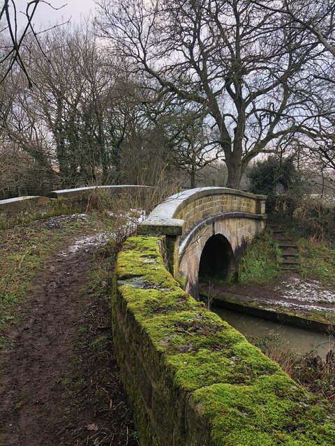
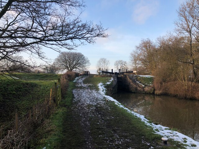
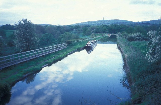
Bosley Reservoir is a large reservoir created to feed the Macclesfield Canal system, specifically the twelve Bosley locks. It is fed from the surrounding...

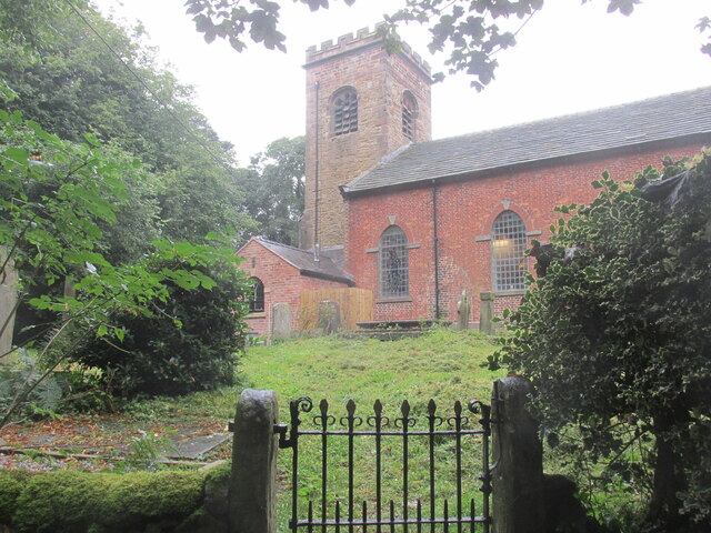
Church of St Mary the Virgin, Bosley
The Church of St Mary the Virgin is in Leek Road, Bosley, Cheshire, England. It is recorded in the National Heritage List for England as a designated Grade...
Bosley
Bosley is a village and civil parish in Cheshire, England. At the 2001 census, it had a population of 406. The village is on the A523 road near to where...
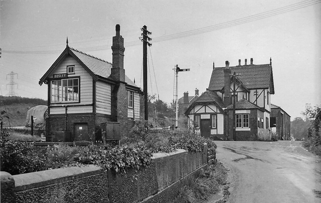
Bosley railway station
Bosley railway station served the village of Bosley, Cheshire. The station was opened by the North Staffordshire Railway in September 1849 as part of the...

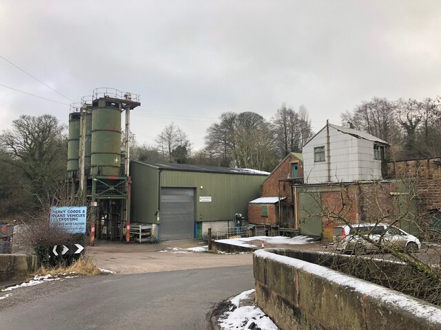
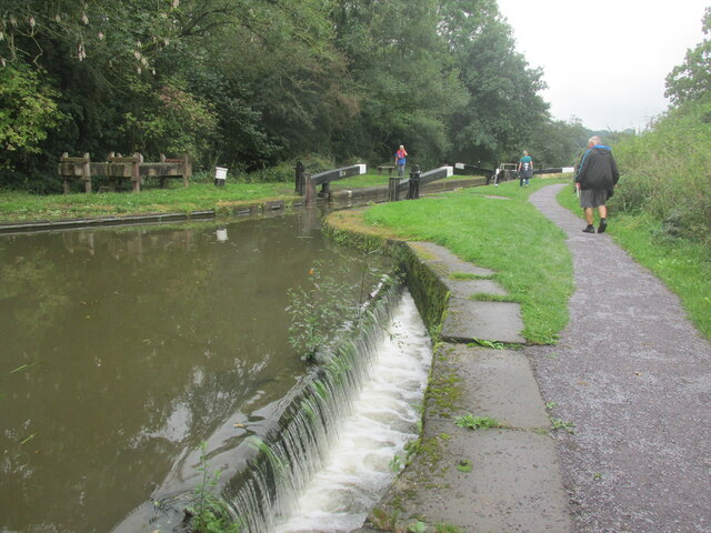
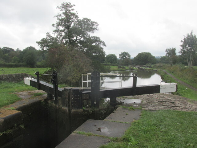
Bosley Lock Flight
Bosley Lock Flight (grid reference SJ904662) is a flight of twelve canal locks, situated on the Macclesfield Canal at Bosley, near Macclesfield, Cheshire...

Silk 106.9
Cheshire's Silk Radio is an Independent Local Radio serving Macclesfield and parts of East Cheshire, owned and operated by neighbouring station Chester...

Sutton Common BT Tower
Sutton Common BT Tower is a 72-metre (238-foot) radio tower built of reinforced concrete at Macclesfield, Cheshire, England. Sutton Common was originally...

Croker Hill
Croker Hill stands just outside the western edge of the Peak District national park, overlooking Congleton in Cheshire. Near the summit stands the Sutton...
Nearby Amenities
Located within 500m of 53.191099,-2.120276Have you been to Bosley Reservoir?
Leave your review of Bosley Reservoir below (or comments, questions and feedback).