Fens Pool
Lake, Pool, Pond, Freshwater Marsh in Staffordshire
England
Fens Pool

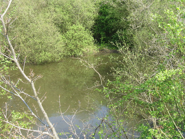
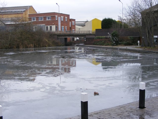
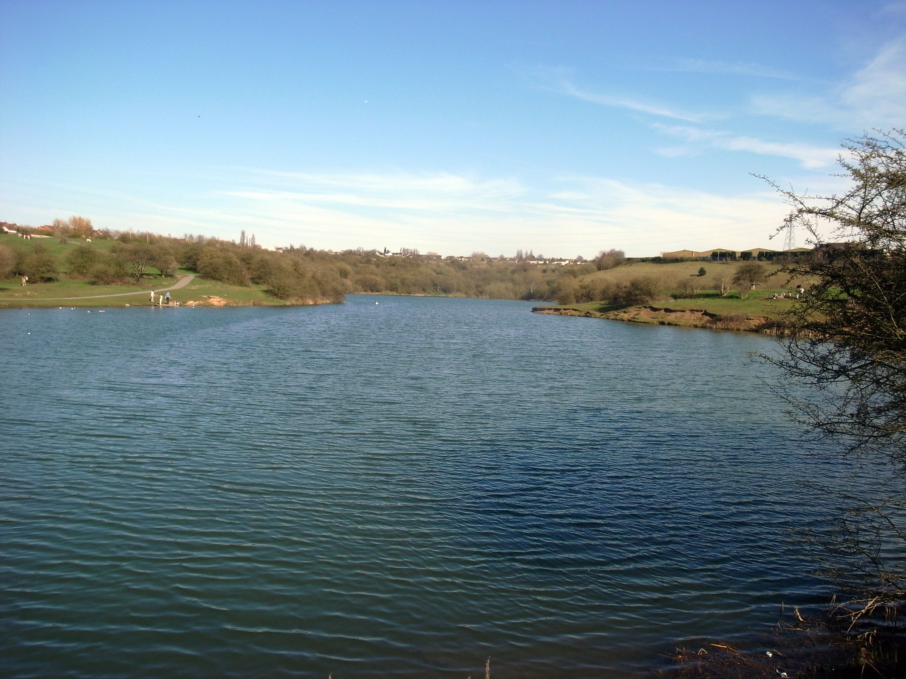
Fens Pool is a freshwater lake located in the county of Staffordshire, England. Situated near the town of Dudley, this natural body of water covers an area of approximately 28 hectares (70 acres). It is known to be the largest body of water in the Black Country region.
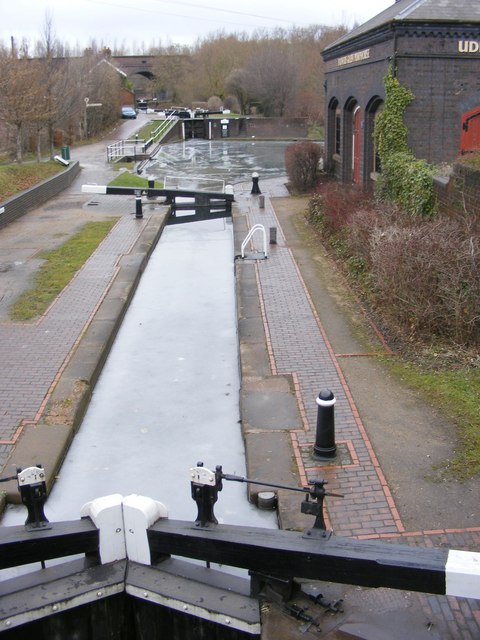
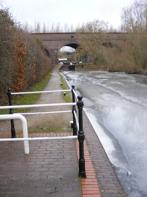
The pool has a distinctly circular shape, with a circumference of around 1.8 kilometers (1.1 miles) and a maximum depth of 3.5 meters (11.5 feet). It is fed by a number of small streams and springs, which contribute to its constant supply of fresh water. The outflow from Fens Pool drains into the nearby Wyrley and Essington Canal.
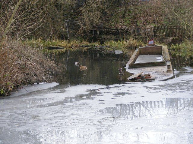
Surrounded by a mix of woodland and grassland, Fens Pool provides a diverse habitat for a variety of plant and animal species. The lake supports a rich aquatic ecosystem, with submerged vegetation such as reeds and water lilies providing shelter and food for numerous fish and invertebrates.
The pool is also an important site for birdwatching enthusiasts, as it attracts a wide range of waterfowl throughout the year. Species such as mallards, tufted ducks, and great crested grebes are commonly seen on the lake, while visiting migratory birds, including wigeons and teals, can be spotted during the winter months.
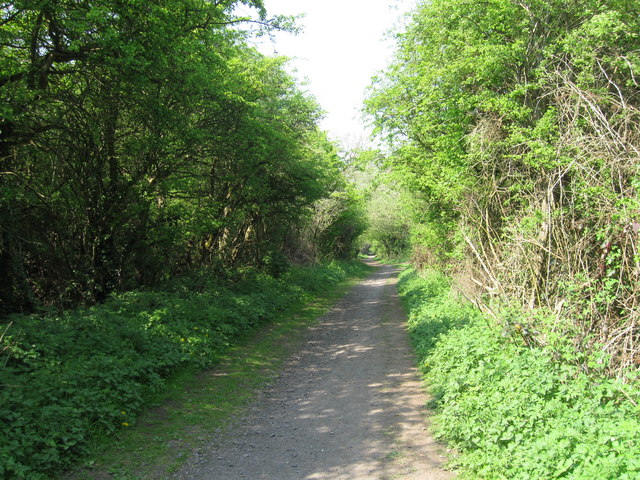
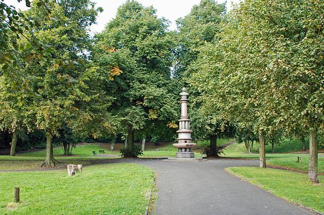
Fens Pool is a popular recreational spot for locals and visitors alike, offering opportunities for fishing, boating, and wildlife observation. The surrounding Fens Pools Nature Reserve provides additional walking trails and picnic areas, allowing visitors to enjoy the natural beauty of this Staffordshire lake.
If you have any feedback on the listing, please let us know in the comments section below.
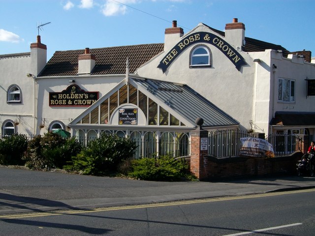
Fens Pool Images
Images are sourced within 2km of 52.49513/-2.1198369 or Grid Reference SO9188. Thanks to Geograph Open Source API. All images are credited.


Fens Pool is located at Grid Ref: SO9188 (Lat: 52.49513, Lng: -2.1198369)
Unitary Authority: Dudley
Police Authority: West Midlands
What 3 Words
///cope.image.looked. Near Brierley Hill, West Midlands
Nearby Locations
Related Wikis
Fens Pools
Fens Pools (grid reference SO920886) is a 37.6 hectares (93 acres) biological site of Special Scientific Interest in the West Midlands. The site was notified...
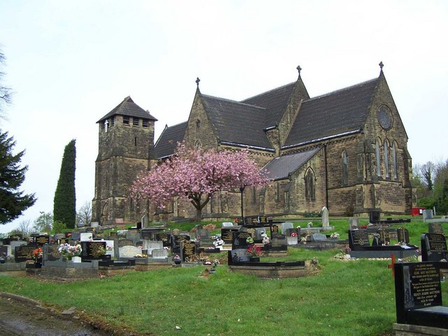
Woodside, Dudley
Woodside is a residential area of Dudley in the West Midlands of England. == History == It was originally a separate manor from Dudley in a once rural...
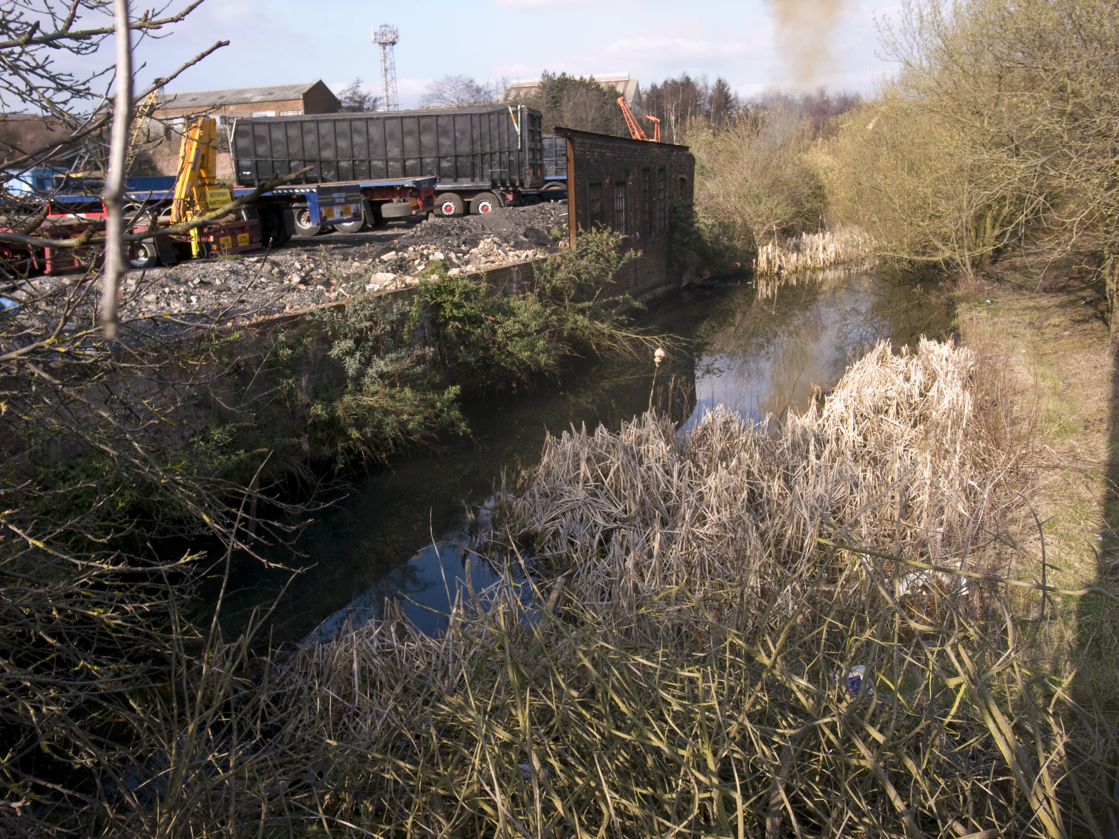
Pensnett Canal
The Pensnett Canal, also called Lord Ward's Canal was a private 1.25 miles (2 km) long canal near Brierley Hill, West Midlands, England, which opened in...

Round Oak railway station
Round Oak railway station was a station on the Oxford-Worcester-Wolverhampton Line serving the town of Brierley Hill in England. == History == It was opened...
Holly Hall, Dudley
Holly Hall is a residential area of Dudley in the West Midlands of England. It is situated around the A461 major road towards Brierley Hill and Stourbridge...
Buckpool and Fens Pool Local Nature Reserve
Buckpool and Fens Pool Local Nature Reserve is situated in the Pensnett area of the West Midlands. The largest area of open water in Dudley Metropolitan...
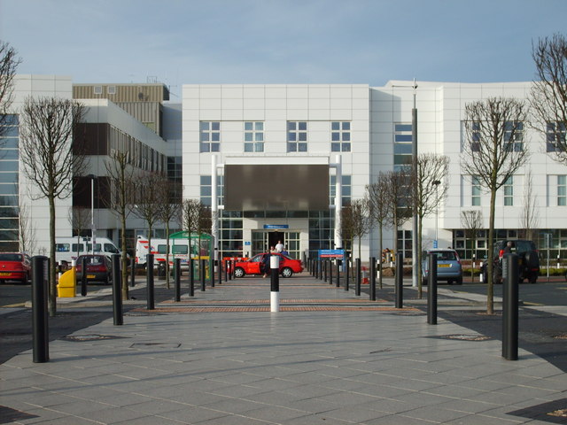
Russells Hall Hospital
Russells Hall Hospital is an NHS general hospital located in Dudley, West Midlands, England, managed by the Dudley Group NHS Foundation Trust. The hospital...
Pensnett
Pensnett is an area of the Metropolitan Borough of Dudley, West Midlands, England, 2.3 miles (3.7 km) south-west of central Dudley. Pensnett has been a...
Nearby Amenities
Located within 500m of 52.49513,-2.1198369Have you been to Fens Pool?
Leave your review of Fens Pool below (or comments, questions and feedback).