Lewinshill Wood
Wood, Forest in Cheshire
England
Lewinshill Wood
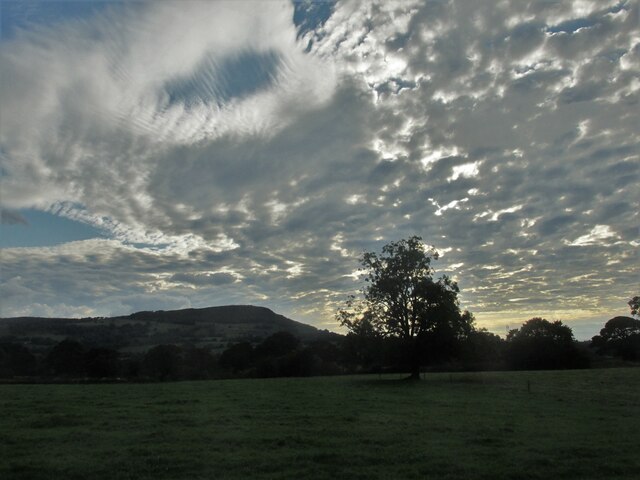
Lewinshill Wood is a picturesque woodland located in the county of Cheshire, England. Spanning over an area of approximately 50 hectares, this enchanting forest is nestled within the rolling countryside, offering visitors a serene escape from the hustle and bustle of city life.
The wood is predominantly made up of native broadleaf trees, such as oak, beech, and birch, which provide a rich habitat for a diverse range of wildlife. The forest floor is adorned with a carpet of wildflowers during the spring and summer months, creating a stunning display of colors and scents.
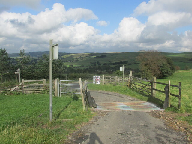
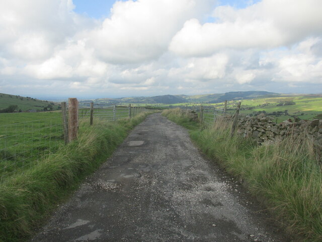
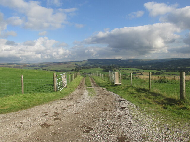
Several well-maintained walking trails wind their way through Lewinshill Wood, allowing visitors to explore the area at their own pace. These paths offer glimpses of the woodland's hidden treasures, including a babbling brook that meanders through the forest, adding to its idyllic charm.
Birdwatchers will be delighted to discover the presence of various avian species within the wood, such as woodpeckers, owls, and finches. Wildlife enthusiasts may also spot squirrels darting through the trees or deer grazing in the clearings.
Lewinshill Wood is a popular destination for nature lovers and outdoor enthusiasts, providing opportunities for leisurely walks, picnics, and photography. The peaceful ambiance and scenic beauty make it an ideal spot for relaxation and rejuvenation.
Managed by local conservation organizations, Lewinshill Wood is a testament to the importance of preserving and protecting natural habitats. It serves as both a sanctuary for wildlife and a tranquil retreat for visitors seeking solace in nature's embrace.
If you have any feedback on the listing, please let us know in the comments section below.
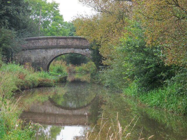
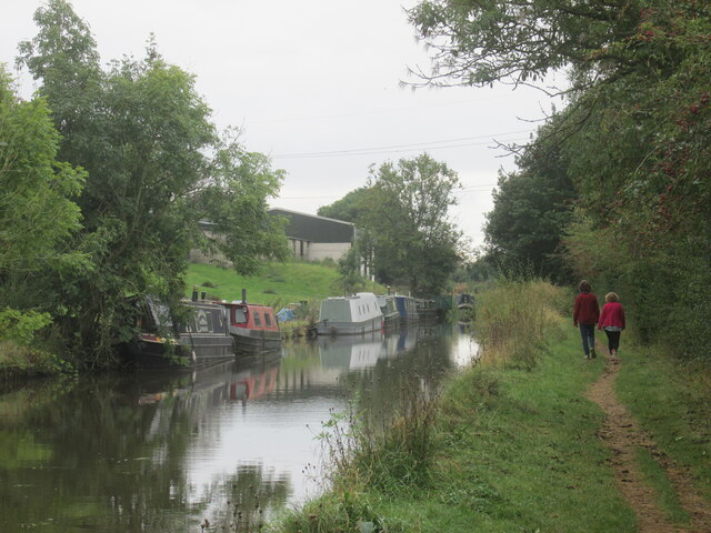
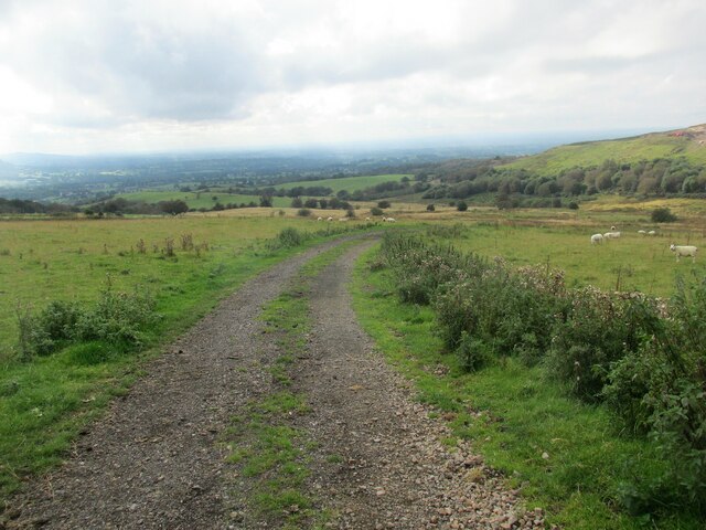
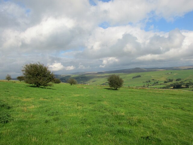
Lewinshill Wood Images
Images are sourced within 2km of 53.197977/-2.1185439 or Grid Reference SJ9266. Thanks to Geograph Open Source API. All images are credited.
Lewinshill Wood is located at Grid Ref: SJ9266 (Lat: 53.197977, Lng: -2.1185439)
Unitary Authority: Cheshire East
Police Authority: Cheshire
What 3 Words
///hippy.immediate.pokers. Near Eaton, Cheshire
Nearby Locations
Related Wikis
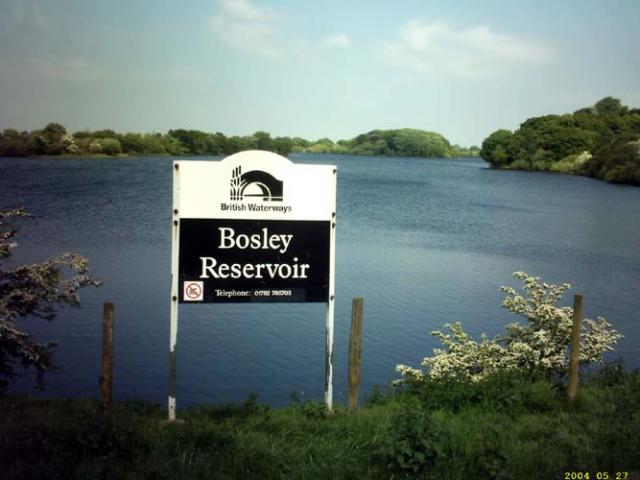
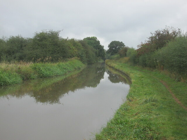
Bosley Reservoir
Bosley Reservoir is a large reservoir created to feed the Macclesfield Canal system, specifically the twelve Bosley locks. It is fed from the surrounding...

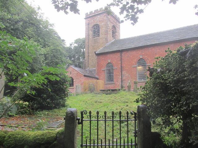
Church of St Mary the Virgin, Bosley
The Church of St Mary the Virgin is in Leek Road, Bosley, Cheshire, England. It is recorded in the National Heritage List for England as a designated Grade...
Bosley
Bosley is a village and civil parish in Cheshire, England. At the 2001 census, it had a population of 406. The village is on the A523 road near to where...

Silk 106.9
Cheshire's Silk Radio is an Independent Local Radio serving Macclesfield and parts of East Cheshire, owned and operated by neighbouring station Chester...

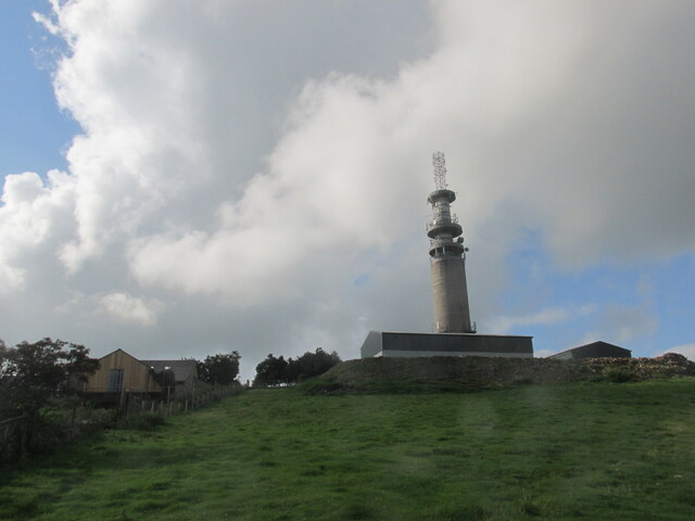
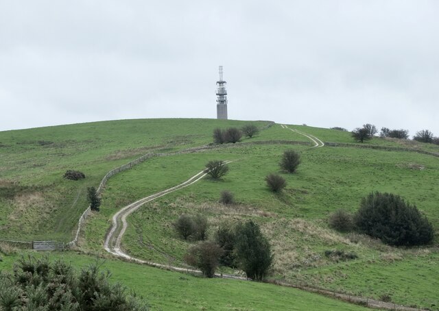
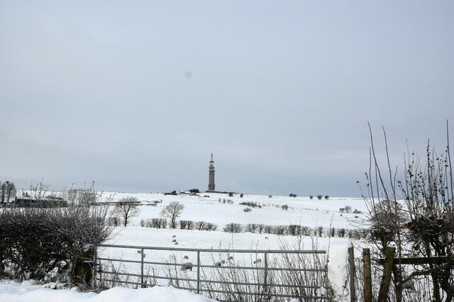
Sutton Common BT Tower
Sutton Common BT Tower is a 72-metre (238-foot) radio tower built of reinforced concrete at Macclesfield, Cheshire, England. Sutton Common was originally...

Croker Hill
Croker Hill stands just outside the western edge of the Peak District national park, overlooking Congleton in Cheshire. Near the summit stands the Sutton...
Oakgrove, Cheshire
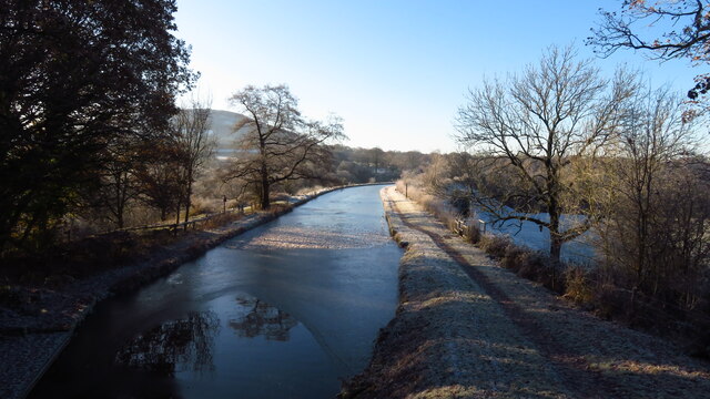
Oakgrove is a village in Cheshire, England. It is part of the civil parish of Sutton and is situated on the Macclesfield Canal which is crossed here by...

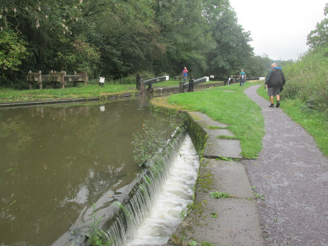
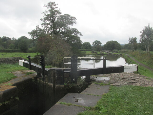
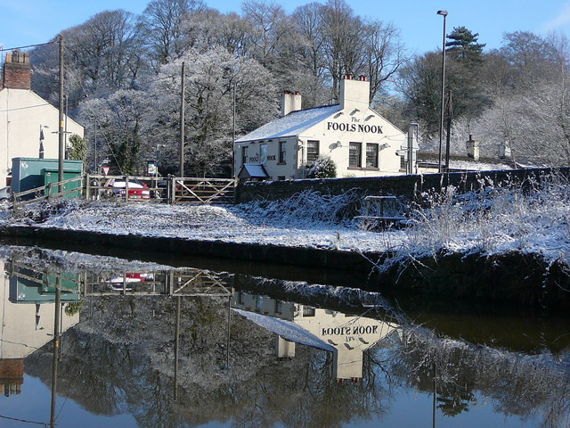
Bosley Lock Flight
Bosley Lock Flight (grid reference SJ904662) is a flight of twelve canal locks, situated on the Macclesfield Canal at Bosley, near Macclesfield, Cheshire...
Nearby Amenities
Located within 500m of 53.197977,-2.1185439Have you been to Lewinshill Wood?
Leave your review of Lewinshill Wood below (or comments, questions and feedback).