Flodden Strip
Wood, Forest in Northumberland
England
Flodden Strip
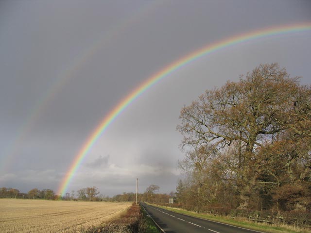
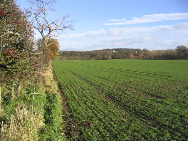
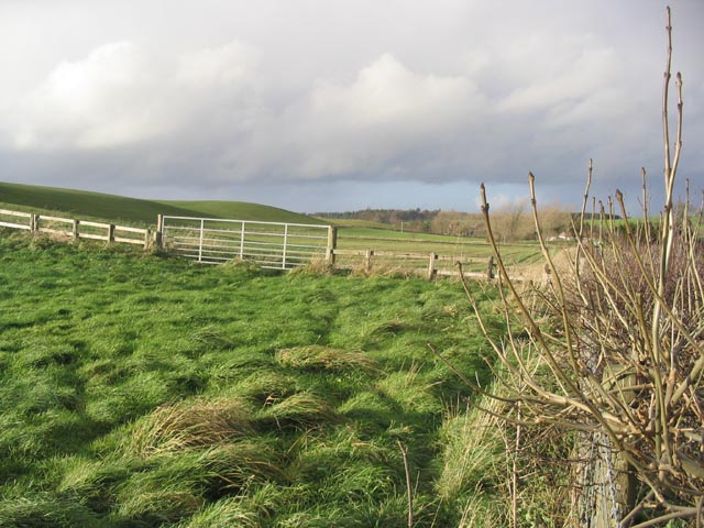
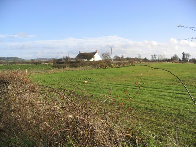
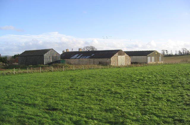
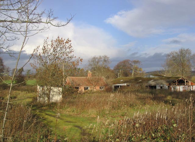
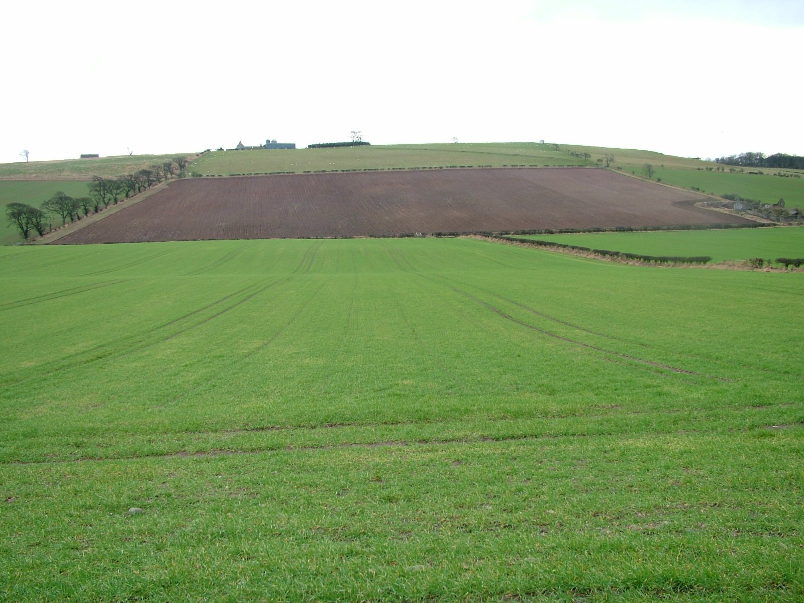
Flodden Strip, located in Northumberland, is a remarkable woodland area known for its scenic beauty and rich biodiversity. Spanning an area of approximately 200 hectares, this wooded strip is nestled in the heart of the Cheviot Hills, offering visitors a tranquil and picturesque setting.
The woodland is predominantly comprised of native broadleaf species, including oak, birch, and rowan trees. These towering trees create a dense canopy, filtering sunlight and creating a cool and shaded environment beneath. The forest floor is covered with a lush carpet of mosses, ferns, and wildflowers, adding to the enchanting atmosphere.
Flodden Strip is home to a diverse range of wildlife, making it a popular spot for nature enthusiasts and wildlife photographers. Visitors may spot deer, foxes, and various bird species such as owls, woodpeckers, and warblers. The woodland provides an important habitat for many rare and threatened species, including the red squirrel and the protected Cheviot Blue butterfly.
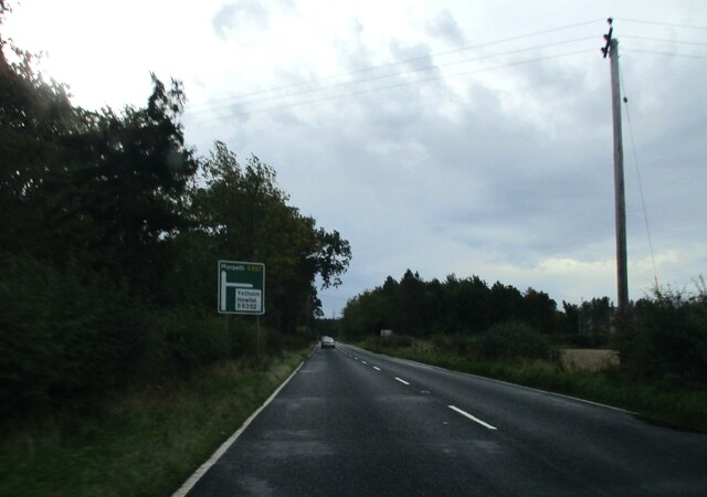
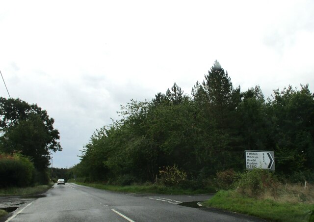
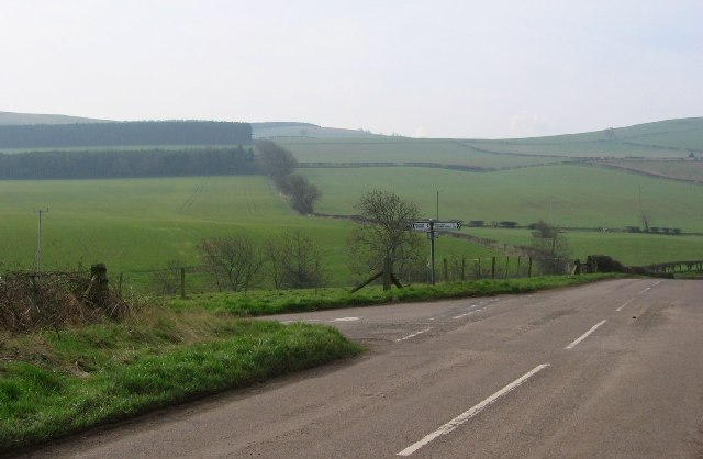
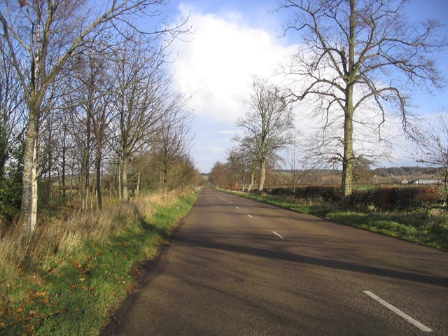
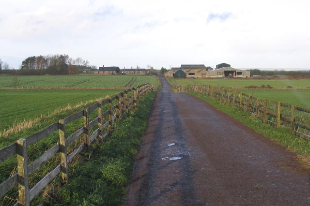
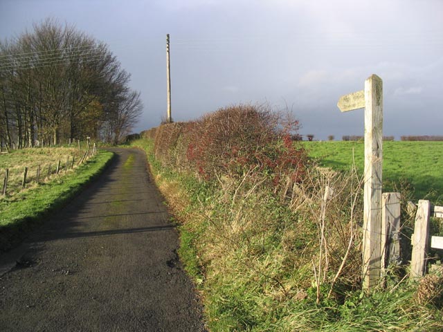
A network of well-maintained trails crisscross the Flodden Strip, allowing visitors to explore its natural wonders on foot or by bike. These paths offer breathtaking views of the surrounding countryside, including the Cheviot Hills and the nearby River Till. Interpretive signs along the trails provide information about the flora, fauna, and history of the area, enhancing the visitor experience.
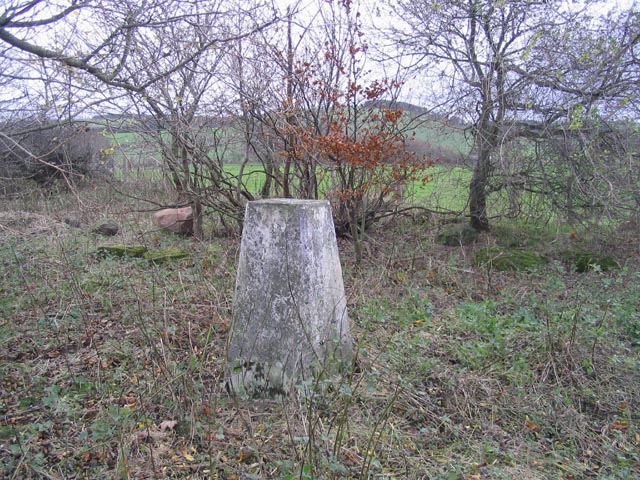
Flodden Strip also holds historical significance, as it was the site of the Battle of Flodden in 1513. This battle, one of the largest and bloodiest in British history, resulted in the death of thousands of soldiers. Today, a memorial cairn stands as a solemn reminder of the battle's tragic events.
Overall, Flodden Strip is a haven of natural beauty, biodiversity, and historical significance. Whether you are seeking a peaceful walk, wildlife spotting, or a glimpse into the past, this woodland in Northumberland offers a truly captivating experience.
If you have any feedback on the listing, please let us know in the comments section below.
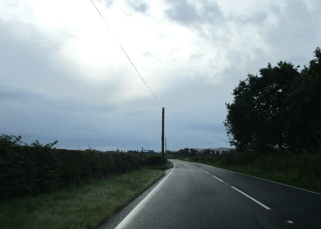
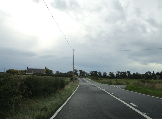
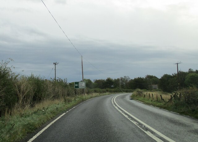
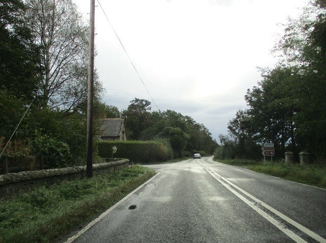
Flodden Strip Images
Images are sourced within 2km of 55.619431/-2.125503 or Grid Reference NT9236. Thanks to Geograph Open Source API. All images are credited.

Flodden Strip is located at Grid Ref: NT9236 (Lat: 55.619431, Lng: -2.125503)
Unitary Authority: Northumberland
Police Authority: Northumbria
What 3 Words
///different.pest.canny. Near Ford, Northumberland
Nearby Locations
Related Wikis

Crookham, Northumberland
Crookham is a village on the River Till in Northumberland, in England. It is situated approximately 8 km (5.0 mi) to the east of Coldstream and 14 km...

Ford Forge
Ford Forge (Ford Mill), Northumberland, England is located on the River Till between the villages of Ford and Etal. Buildings housing a water-powered forge...

Heatherslaw Mill
Heatherslaw Mill is a water mill situated on the Ford and Etal Estate, 7 miles north of the town of Wooler in the English county of Northumberland. It...

Ford Castle
Ford Castle is a Grade I listed building situated at a shallow crossing point on the River Till, Ford, Northumberland, England. The castle dates from about...

Ford, Northumberland
Ford is a small village and civil parish in Northumberland, England, about 13 miles (21 km) from Berwick-upon-Tweed. The parish also includes Etal. �...

Lady Waterford Hall
Lady Waterford Hall is the former village school of the estate village of Ford, Northumberland. It is now used as the village hall and is a Grade II* listed...
Branxton, Northumberland
Branxton is a village and civil parish in northern Northumberland, England. It lies about 3 miles (5 km) from the England-Scotland border and about 4 miles...
Glendale, Northumberland
Glendale is the name of a valley in North Northumberland that runs from the Cheviot Hills at Kirknewton onto the Milfield Plain, formed by the River Glen...
Nearby Amenities
Located within 500m of 55.619431,-2.125503Have you been to Flodden Strip?
Leave your review of Flodden Strip below (or comments, questions and feedback).