Pile Oak Copse
Wood, Forest in Wiltshire
England
Pile Oak Copse
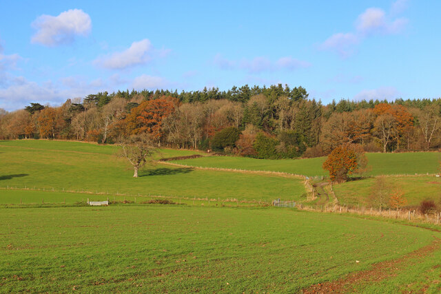
Pile Oak Copse is a woodland area located in the county of Wiltshire, England. Situated near the village of Pile, it covers an approximate area of 50 acres. The copse is characterized by its dense collection of oak trees, which give it its name. These oak trees, some of which are believed to be over 200 years old, create a picturesque and serene environment.
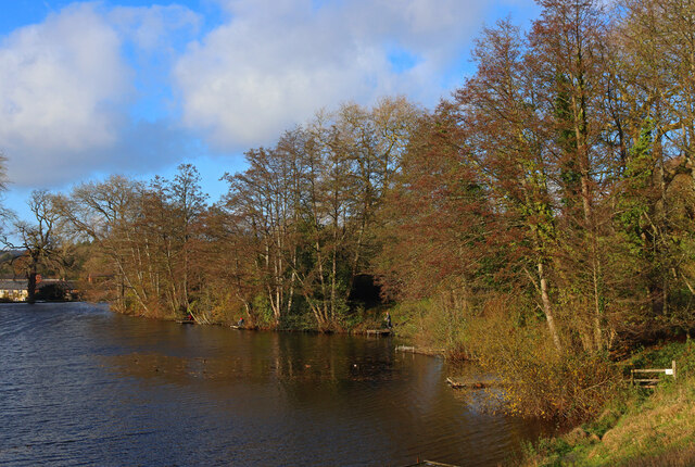
The woodland is home to a variety of flora and fauna, including bluebells, primroses, and wild garlic, which cover the forest floor during the spring season. Additionally, various species of birds, such as woodpeckers and owls, can be spotted nesting among the branches.
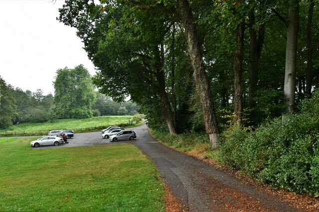
Pile Oak Copse is a popular destination for nature enthusiasts and hikers, offering several well-maintained footpaths that wind through the woodland. These paths provide visitors with the opportunity to explore the diverse ecosystem and appreciate the natural beauty of the area. The copse is also a designated site of Special Scientific Interest (SSSI), acknowledging its ecological importance.
The management of Pile Oak Copse is overseen by local authorities, who ensure the preservation of the woodland's biodiversity and protect it from potential threats. Regular maintenance work, such as tree thinning and clearing of invasive species, is carried out to maintain the health and longevity of the oak trees.
Overall, Pile Oak Copse in Wiltshire provides a tranquil escape for nature lovers, offering a rich and diverse habitat for both flora and fauna. Its ancient oaks and surrounding wildlife make it a cherished natural treasure in the region.
If you have any feedback on the listing, please let us know in the comments section below.
Pile Oak Copse Images
Images are sourced within 2km of 51.02849/-2.1104461 or Grid Reference ST9225. Thanks to Geograph Open Source API. All images are credited.


Pile Oak Copse is located at Grid Ref: ST9225 (Lat: 51.02849, Lng: -2.1104461)
Unitary Authority: Wiltshire
Police Authority: Wiltshire
What 3 Words
///glares.sometimes.bill. Near Ansty, Wiltshire
Nearby Locations
Related Wikis

Donhead St Andrew
Donhead St Andrew is a village and civil parish in Wiltshire, England, on the River Nadder. It lies 4 miles (6.4 km) east of the Dorset market town of...
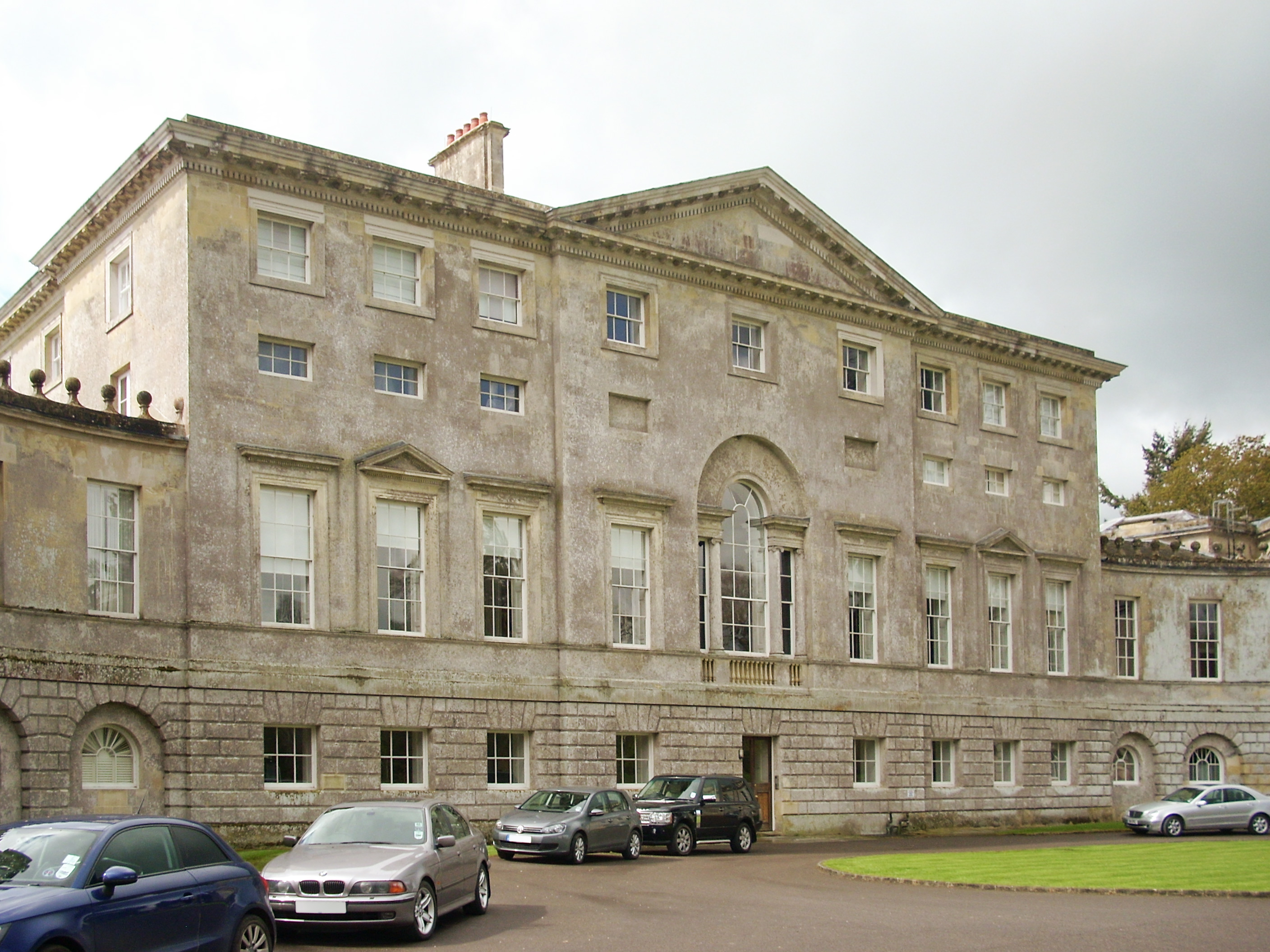
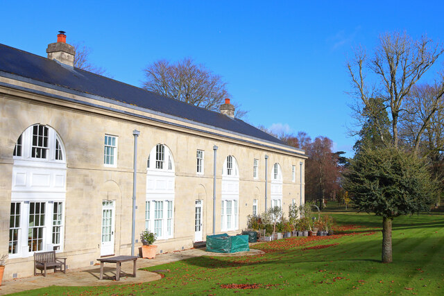
New Wardour Castle
New Wardour Castle is a Grade I listed English country house at Wardour, near Tisbury in Wiltshire, built for the Arundell family. The house is of Palladian...
Cranborne Chase School
Cranborne Chase School was an independent boarding school for girls, and was located in the English counties of Dorset and (later) Wiltshire, between 1946...

Siege of Wardour Castle
Wardour Castle in Wiltshire, England, was besieged twice during the First English Civil War; once in May 1643, and then again between November 1643 and...
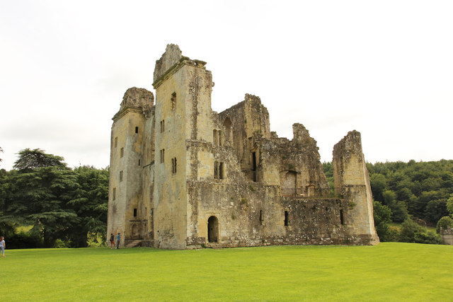
Wardour Castle
Wardour Castle or Old Wardour Castle is a ruined 14th-century castle at Wardour, on the boundaries of the civil parishes of Tisbury and Donhead St Andrew...

Wardour, Wiltshire
Wardour is a settlement in the civil parish of Tisbury, in Wiltshire, England, about 13 miles (21 km) west of Salisbury and 4 miles (6 km) south of Hindon...

Donhead St Mary
Donhead St Mary is a village and civil parish in southwest Wiltshire, England, on the county border with Dorset. The village lies about 2+1⁄2 miles (4...

Lower Coombe and Ferne Brook Meadows
Lower Coombe and Ferne Brook Meadows (grid reference ST916236) is an 11.34 hectare biological Site of Special Scientific Interest in Wiltshire, England...
Nearby Amenities
Located within 500m of 51.02849,-2.1104461Have you been to Pile Oak Copse?
Leave your review of Pile Oak Copse below (or comments, questions and feedback).