Nower's Copse
Wood, Forest in Wiltshire
England
Nower's Copse
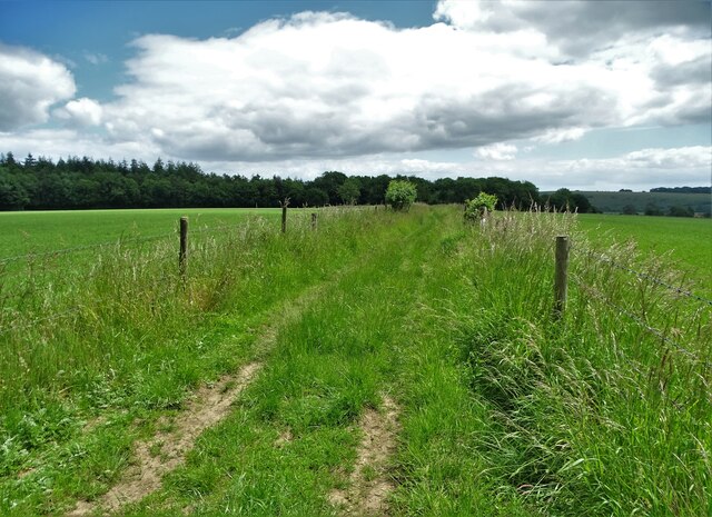
Nower's Copse is a picturesque wood located in Wiltshire, England. Covering an area of approximately 20 hectares, it is a popular destination for nature enthusiasts and those seeking tranquility amidst the beauty of nature. The copse is characterized by its dense woodland, consisting mainly of broadleaf trees such as oak, beech, and ash. These towering trees provide a canopy that filters sunlight, creating a dappled effect on the forest floor.
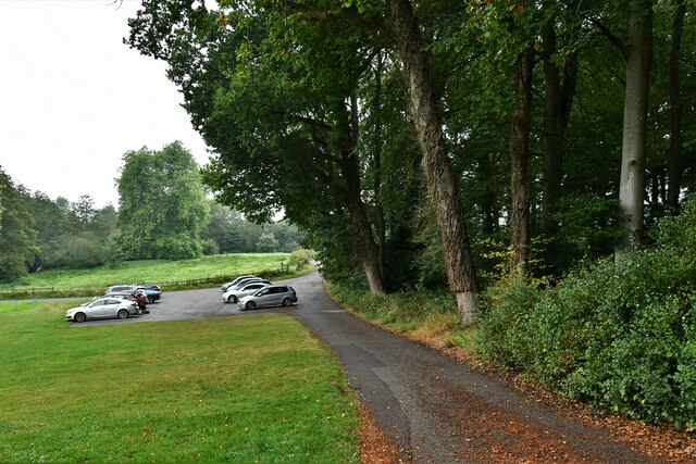
The wood is crisscrossed by a network of well-maintained footpaths and trails, allowing visitors to explore its various sections and discover its natural treasures. Along these paths, one can find a diverse range of flora and fauna, including wildflowers, ferns, and various species of birds and mammals. The copse is particularly known for its abundant birdlife, attracting avid birdwatchers throughout the year.
Nower's Copse also boasts a small pond, which serves as a habitat for various aquatic species and provides a serene spot for visitors to sit and observe nature. Additionally, there are several picnic areas dotted throughout the wood, offering a perfect spot for visitors to relax and enjoy a packed lunch amidst the peaceful surroundings.
The copse is managed by the local authorities, who ensure its preservation and conservation. They regularly conduct maintenance work, such as tree thinning and path clearance, to preserve the natural balance of the wood and enhance its accessibility for visitors.
Overall, Nower's Copse is a delightful wood, offering an idyllic retreat in the heart of Wiltshire. Its lush vegetation, diverse wildlife, and well-maintained trails make it a perfect destination for nature lovers and those seeking solace in the great outdoors.
If you have any feedback on the listing, please let us know in the comments section below.
Nower's Copse Images
Images are sourced within 2km of 51.027228/-2.1036273 or Grid Reference ST9225. Thanks to Geograph Open Source API. All images are credited.

Nower's Copse is located at Grid Ref: ST9225 (Lat: 51.027228, Lng: -2.1036273)
Unitary Authority: Wiltshire
Police Authority: Wiltshire
What 3 Words
///upcoming.specifies.jiggle. Near Ansty, Wiltshire
Nearby Locations
Related Wikis

Donhead St Andrew
Donhead St Andrew is a village and civil parish in Wiltshire, England, on the River Nadder. It lies 4 miles (6.4 km) east of the Dorset market town of...
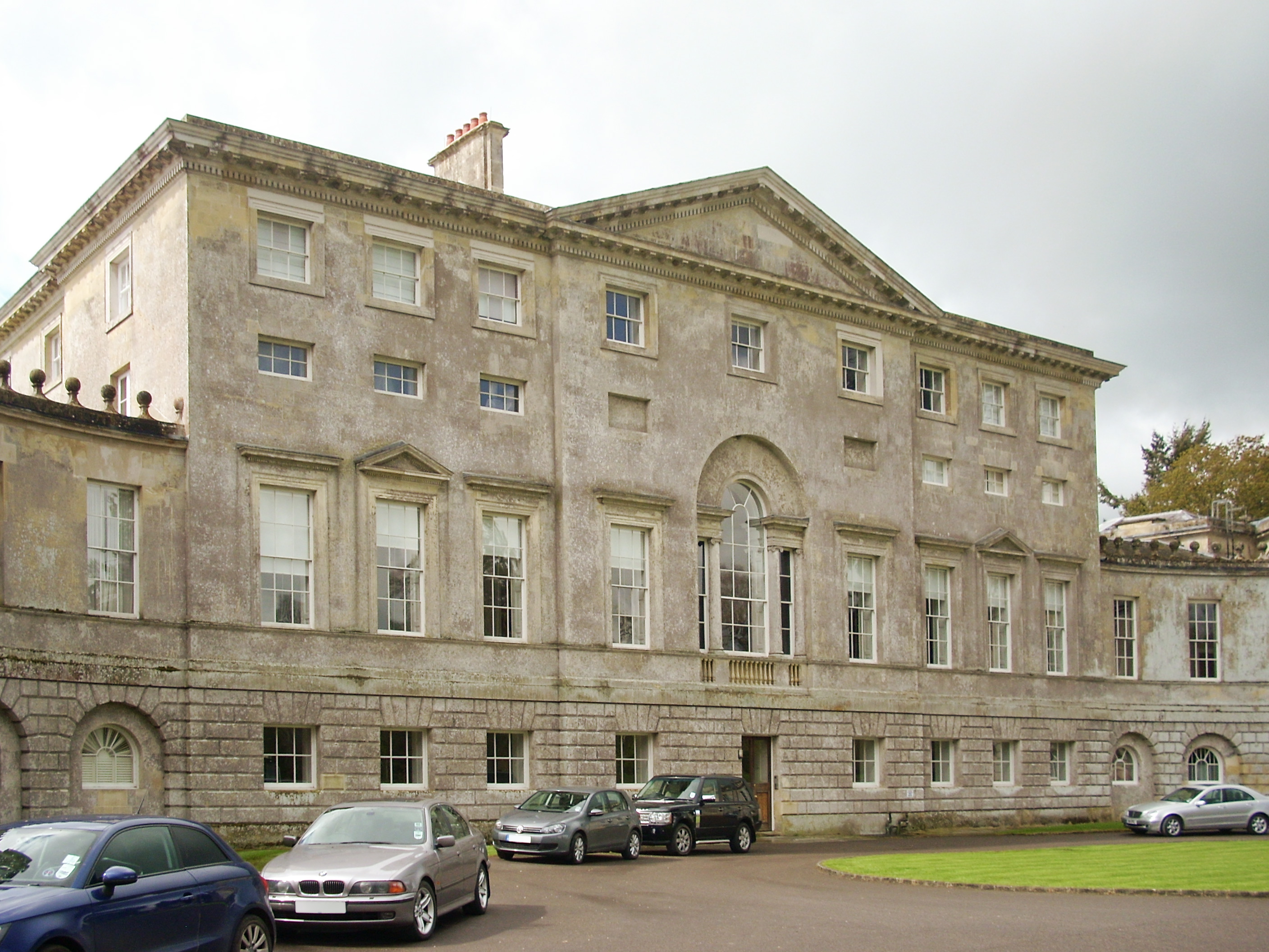
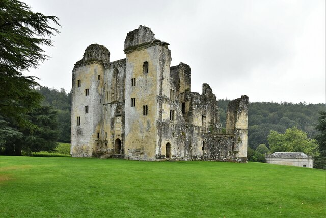
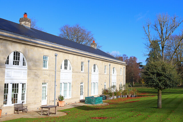
New Wardour Castle
New Wardour Castle is a Grade I listed English country house at Wardour, near Tisbury in Wiltshire, built for the Arundell family. The house is of Palladian...
Cranborne Chase School
Cranborne Chase School was an independent boarding school for girls, and was located in the English counties of Dorset and (later) Wiltshire, between 1946...

Siege of Wardour Castle
Wardour Castle in Wiltshire, England, was besieged twice during the First English Civil War; once in May 1643, and then again between November 1643 and...
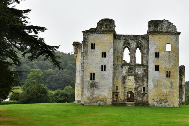
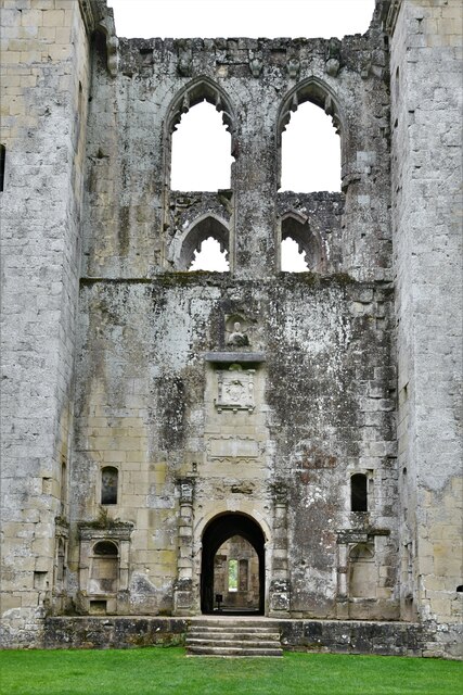
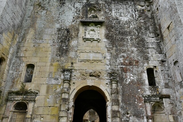
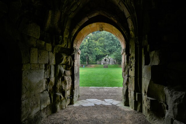
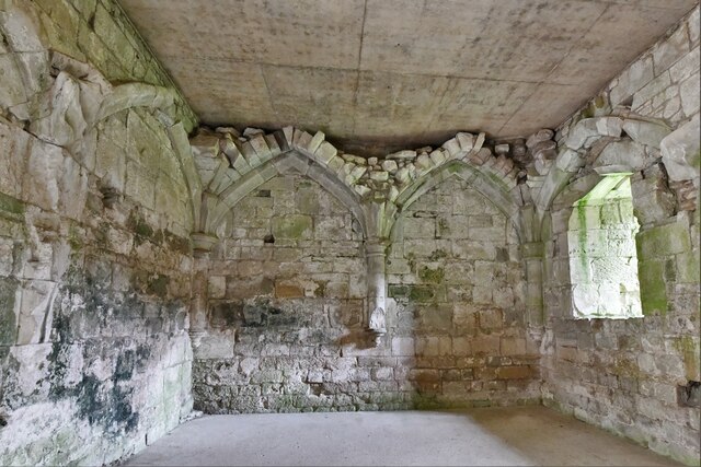
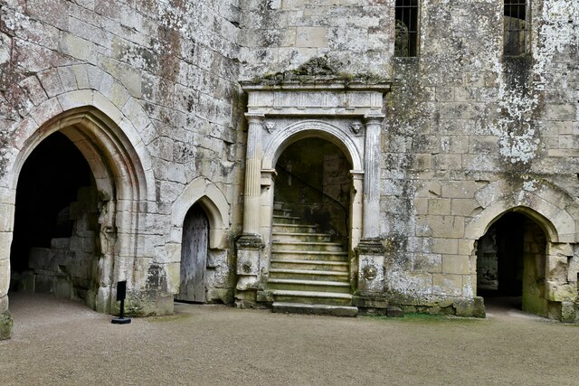
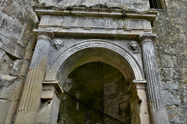
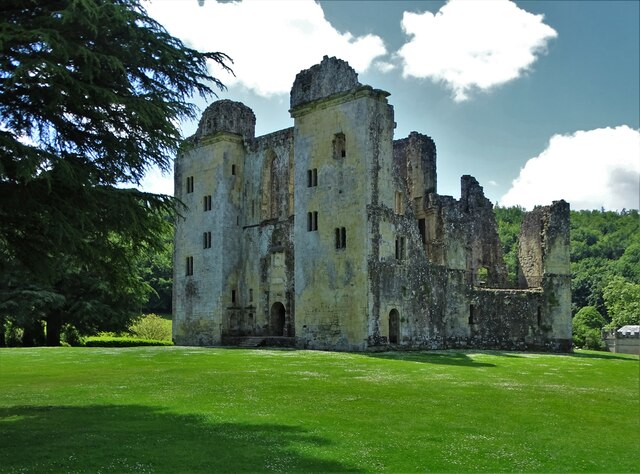
Wardour Castle
Wardour Castle or Old Wardour Castle is a ruined 14th-century castle at Wardour, on the boundaries of the civil parishes of Tisbury and Donhead St Andrew...

Wardour, Wiltshire
Wardour is a settlement in the civil parish of Tisbury, in Wiltshire, England, about 13 miles (21 km) west of Salisbury and 4 miles (6 km) south of Hindon...

Lower Coombe and Ferne Brook Meadows
Lower Coombe and Ferne Brook Meadows (grid reference ST916236) is an 11.34 hectare biological Site of Special Scientific Interest in Wiltshire, England...

Donhead St Mary
Donhead St Mary is a village and civil parish in southwest Wiltshire, England, on the county border with Dorset. The village lies about 2+1⁄2 miles (4...
Nearby Amenities
Located within 500m of 51.027228,-2.1036273Have you been to Nower's Copse?
Leave your review of Nower's Copse below (or comments, questions and feedback).