Viner's Plantation
Wood, Forest in Gloucestershire Tewkesbury
England
Viner's Plantation
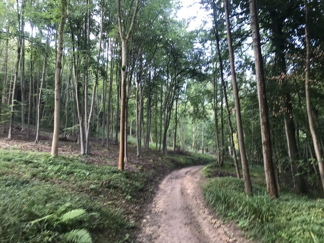
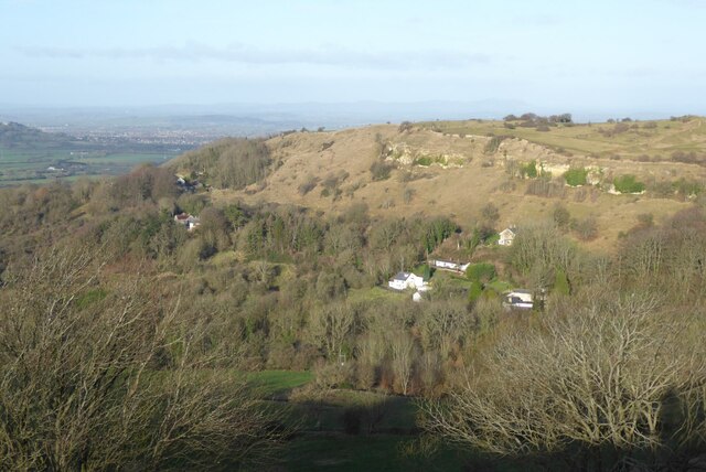
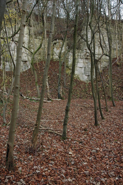
Viner's Plantation is a picturesque woodland located in the county of Gloucestershire, England. Situated within the enchanting Forest of Dean, this idyllic plantation spans over a vast area and is home to a diverse range of flora and fauna.
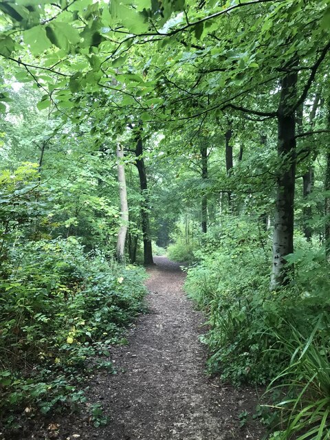
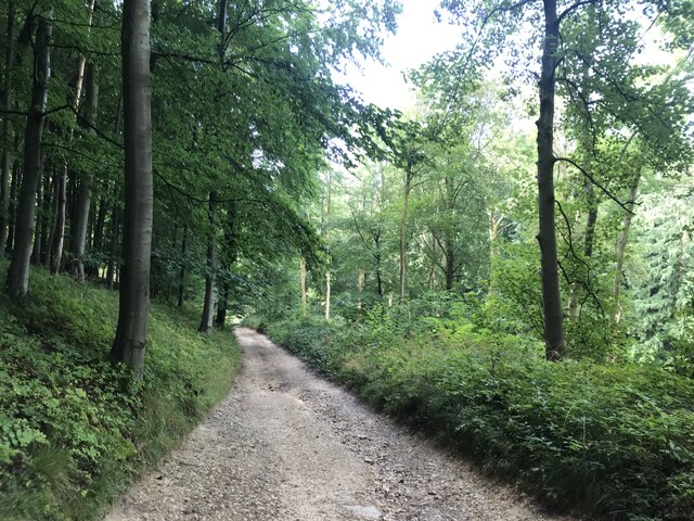
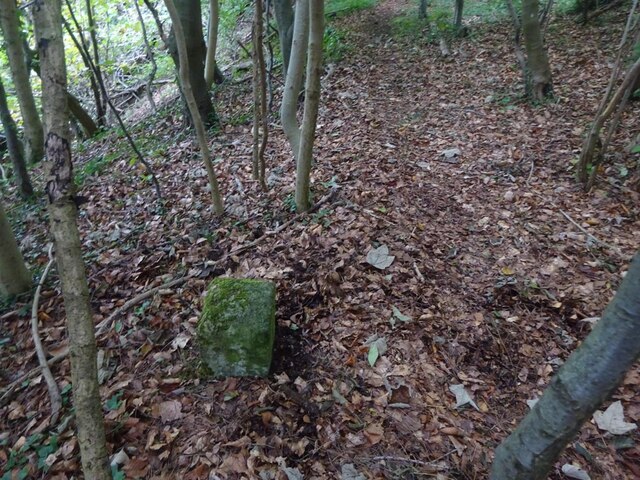
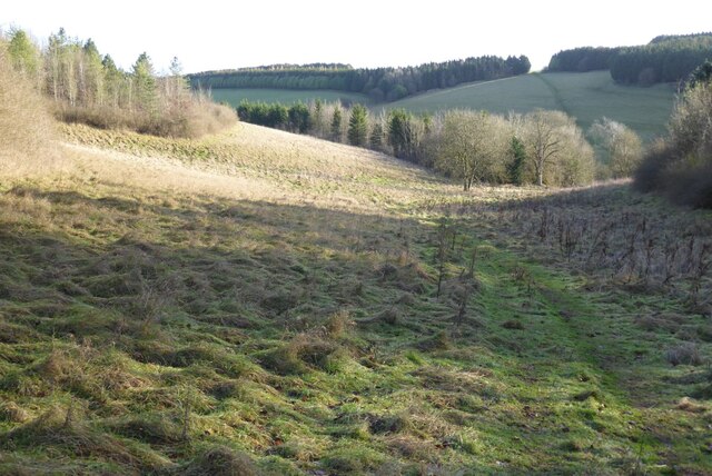
The plantation is predominantly covered by ancient oak trees, which provide a majestic canopy over the woodland floor. These oak trees are known to be centuries old and add a sense of grandeur to the landscape. The woodland's dense vegetation creates a serene and tranquil atmosphere, making it a popular destination for nature enthusiasts and hikers.
Viner's Plantation is teeming with wildlife. Many species of birds, such as woodpeckers, nightingales, and owls, can be spotted throughout the year. The woodland also hosts a variety of mammals, including deer, foxes, badgers, and squirrels, adding to the plantation's natural charm.
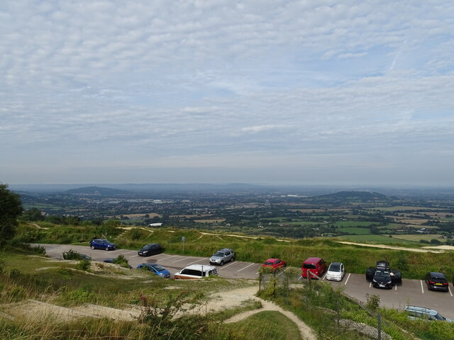
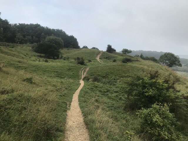
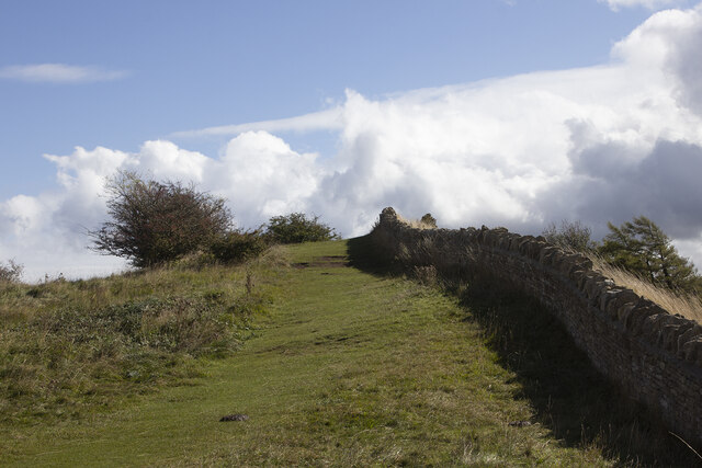
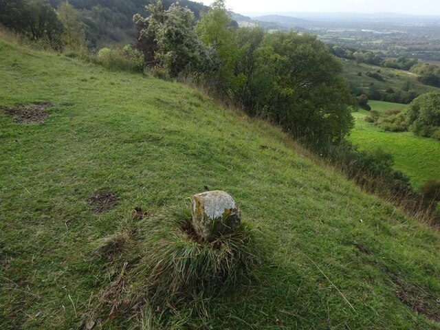
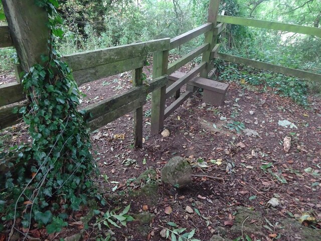
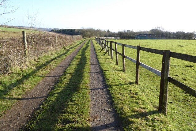
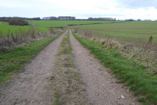
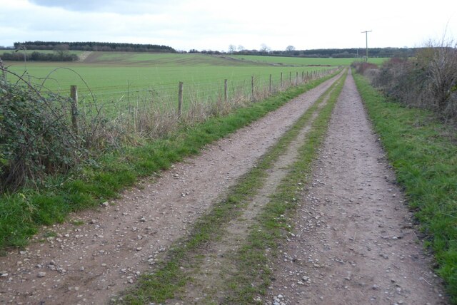
The plantation offers numerous walking trails, allowing visitors to explore its hidden gems. These trails wind through the woodland, offering breathtaking views of the surrounding countryside and glimpses of the beautiful River Severn, which flows nearby. The plantation also features several picnic areas, providing visitors with an opportunity to relax and enjoy the peaceful surroundings.
Viner's Plantation is not only a haven for nature enthusiasts but also plays an important role in the local ecosystem. Its ancient trees and diverse wildlife contribute to the conservation efforts in the region. The plantation is also a designated Site of Special Scientific Interest (SSSI), recognizing its ecological significance.
Overall, Viner's Plantation in Gloucestershire is a remarkable woodland, offering a sanctuary for wildlife, a haven for nature lovers, and a place of natural beauty for all to cherish.
If you have any feedback on the listing, please let us know in the comments section below.
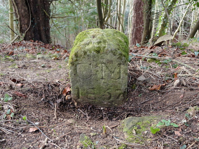
Viner's Plantation Images
Images are sourced within 2km of 51.83538/-2.1056217 or Grid Reference SO9215. Thanks to Geograph Open Source API. All images are credited.

Viner's Plantation is located at Grid Ref: SO9215 (Lat: 51.83538, Lng: -2.1056217)
Administrative County: Gloucestershire
District: Tewkesbury
Police Authority: Gloucestershire
What 3 Words
///renting.rate.president. Near Shurdington, Gloucestershire
Nearby Locations
Related Wikis
Knap House Quarry, Birdlip
Knap House Quarry, Birdlip (grid reference SO925147) is a 1.80-hectare (4.4-acre) geological Site of Special Scientific Interest in Gloucestershire, notified...

Barrow Wake
Barrow Wake is a scenic view in Gloucestershire, near Birdlip, England. Barrow Wake was used as the location for the music video "Wytches" by Pagan Rock...
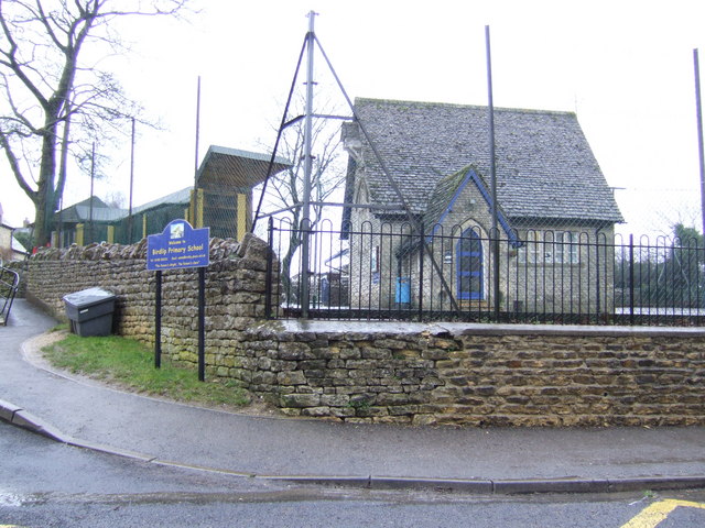
Birdlip
Birdlip is a village and civil parish, in the Cotswold district, in the county of Gloucestershire, England. It is in the Cotswolds Area of Outstanding...
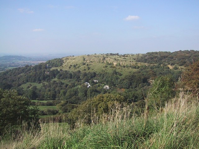
Crickley Hill and Barrow Wake
Crickley Hill and Barrow Wake (grid reference SO929161 & grid reference SO931154) is a 56.8-hectare (140-acre) biological and geological Site of Special...

The Air Balloon, Birdlip
The Air Balloon is a road junction and former pub Birdlip, Gloucestershire, England. The junction is on the A417 at a significant congestion point. The...
Great Witcombe
Great Witcombe is a village and civil parish 5 miles (8 km) south east of Gloucester, in the Tewkesbury district, in the county of Gloucestershire, England...

National Star College
The National Star College (previously known as the Star Centre) is an independent specialist further education college for people with physical disabilities...

Ullenwood
Ullenwood is a village in the Coberley civil parish, near Cheltenham in Gloucestershire. It is the site of a formerly secret civil defence bunker intended...
Nearby Amenities
Located within 500m of 51.83538,-2.1056217Have you been to Viner's Plantation?
Leave your review of Viner's Plantation below (or comments, questions and feedback).