Barrow Wake
Settlement in Gloucestershire Tewkesbury
England
Barrow Wake
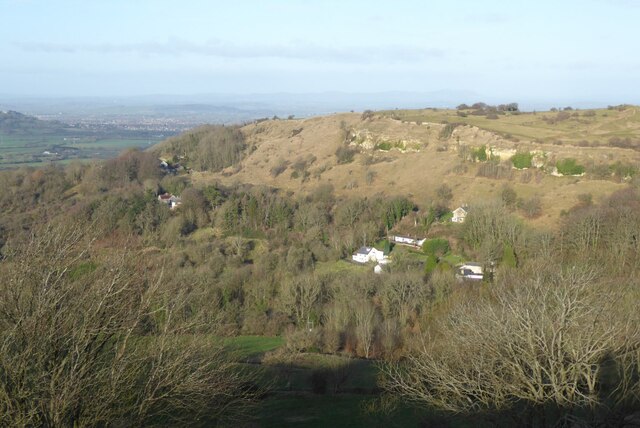
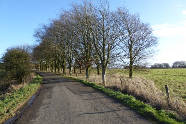
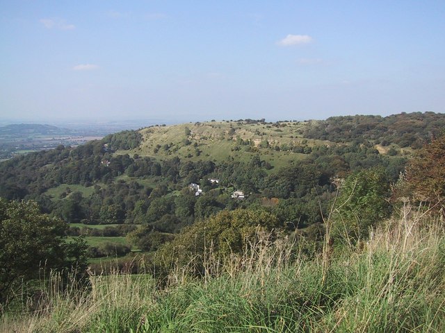
Barrow Wake is a small village located in the county of Gloucestershire, England. Situated on the western edge of the Cotswold Hills, the village offers breathtaking views of the surrounding countryside. With a population of just over 100 residents, Barrow Wake is known for its tranquility and close-knit community.
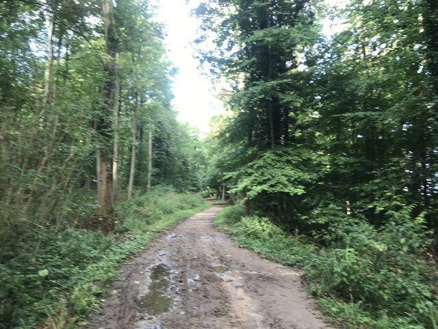
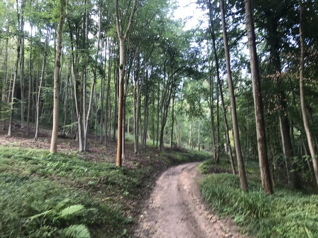
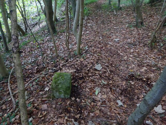
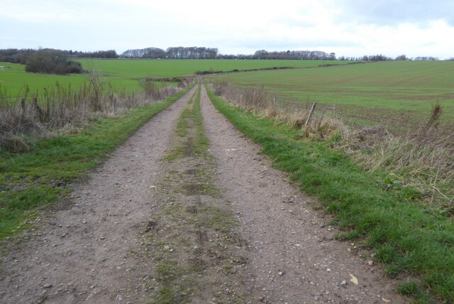
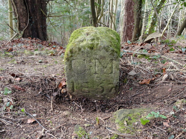
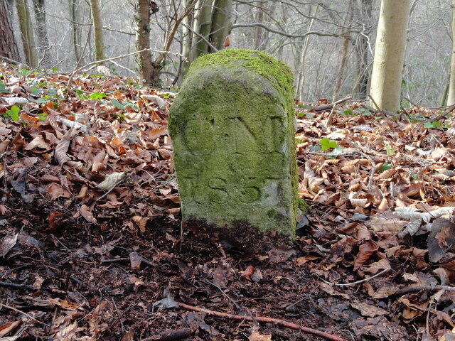
The village is nestled in an area steeped in history, with evidence of human activity dating back thousands of years. The name "Barrow Wake" refers to the presence of ancient burial mounds or barrows that can be found in the vicinity. These barrows are remnants of prehistoric settlements, serving as a testament to the area's rich past.
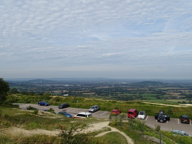
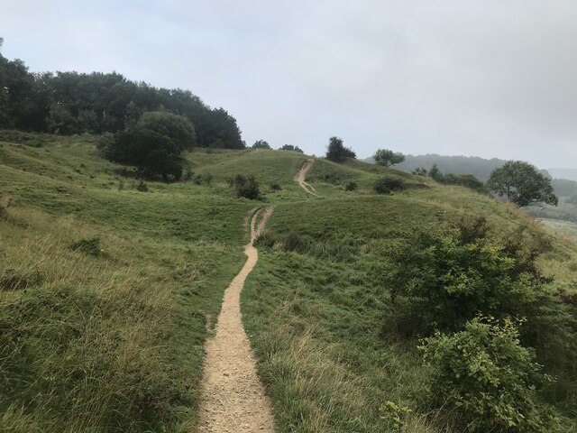
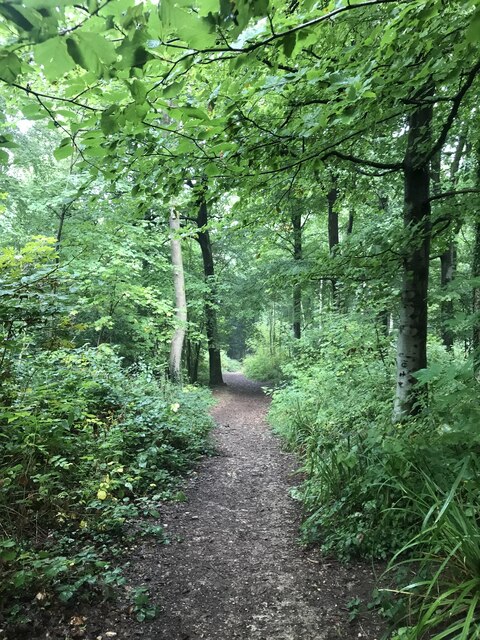
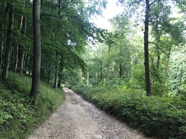
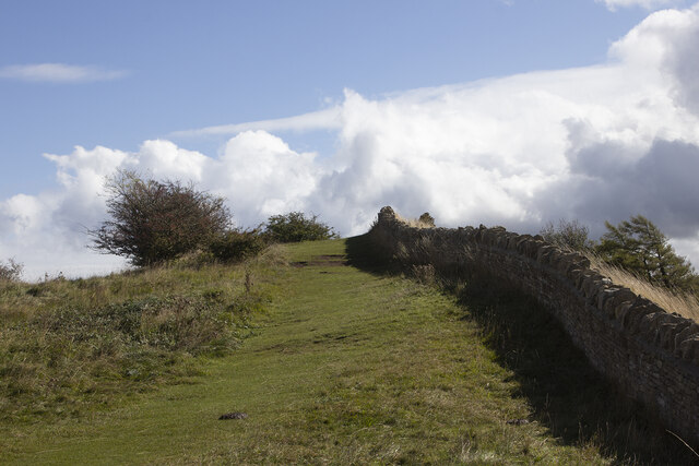
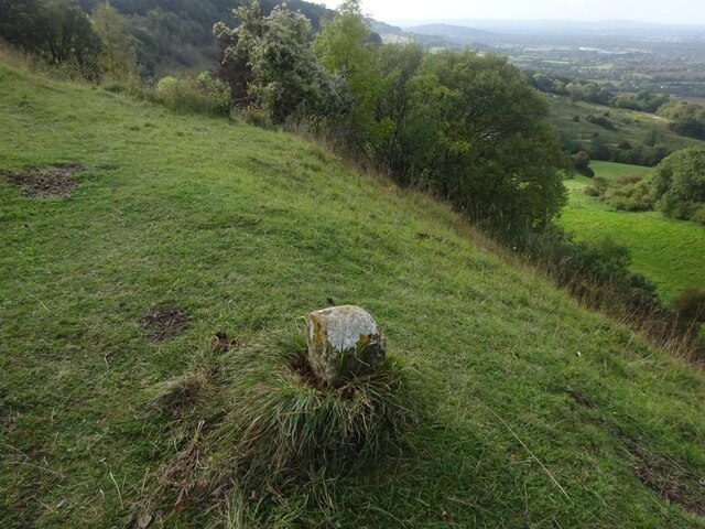
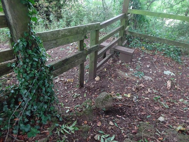
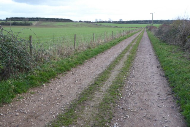
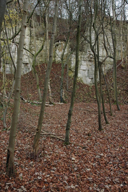
Nature enthusiasts are drawn to Barrow Wake for its picturesque landscapes and abundant wildlife. The nearby Barrow Wake viewpoint offers panoramic vistas over the Severn Valley and the Malvern Hills, making it a popular spot for hikers and photographers alike.
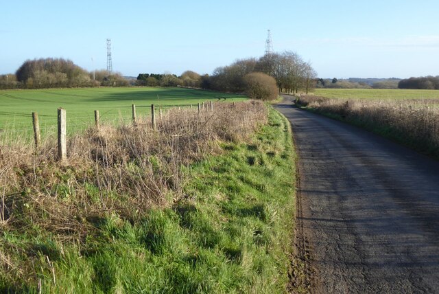
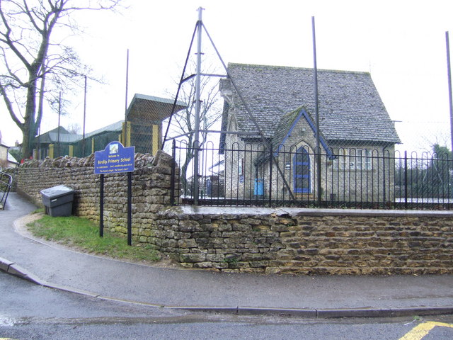
Despite its small size, Barrow Wake benefits from its proximity to larger towns and cities. Cheltenham, Gloucester, and Stroud are all within a short drive, providing residents with easy access to amenities and services.
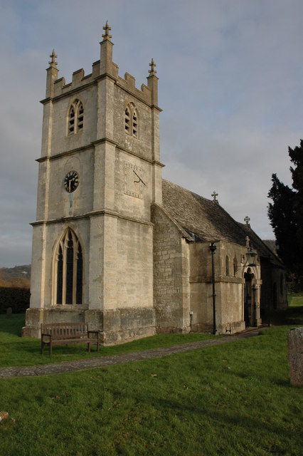
The village also hosts a number of community events throughout the year, including a summer fete and a Christmas market, fostering a strong sense of community spirit. Barrow Wake truly offers a peaceful retreat for those seeking a rural escape with stunning natural beauty and a warm community atmosphere.
If you have any feedback on the listing, please let us know in the comments section below.
Barrow Wake Images
Images are sourced within 2km of 51.833553/-2.117503 or Grid Reference SO9215. Thanks to Geograph Open Source API. All images are credited.

Barrow Wake is located at Grid Ref: SO9215 (Lat: 51.833553, Lng: -2.117503)
Administrative County: Gloucestershire
District: Tewkesbury
Police Authority: Gloucestershire
What 3 Words
///redouble.enhanced.wiring. Near Shurdington, Gloucestershire
Nearby Locations
Related Wikis
Knap House Quarry, Birdlip
Knap House Quarry, Birdlip (grid reference SO925147) is a 1.80-hectare (4.4-acre) geological Site of Special Scientific Interest in Gloucestershire, notified...

Barrow Wake
Barrow Wake is a scenic view in Gloucestershire, near Birdlip, England. Barrow Wake was used as the location for the music video "Wytches" by Pagan Rock...
Birdlip
Birdlip is a village and civil parish, in the Cotswold district, in the county of Gloucestershire, England. It is in the Cotswolds Area of Outstanding...
Great Witcombe
Great Witcombe is a village and civil parish 5 miles (8 km) south east of Gloucester, in the Tewkesbury district, in the county of Gloucestershire, England...
Crickley Hill and Barrow Wake
Crickley Hill and Barrow Wake (grid reference SO929161 & grid reference SO931154) is a 56.8-hectare (140-acre) biological and geological Site of Special...

The Air Balloon, Birdlip
The Air Balloon is a road junction and former pub Birdlip, Gloucestershire, England. The junction is on the A417 at a significant congestion point. The...
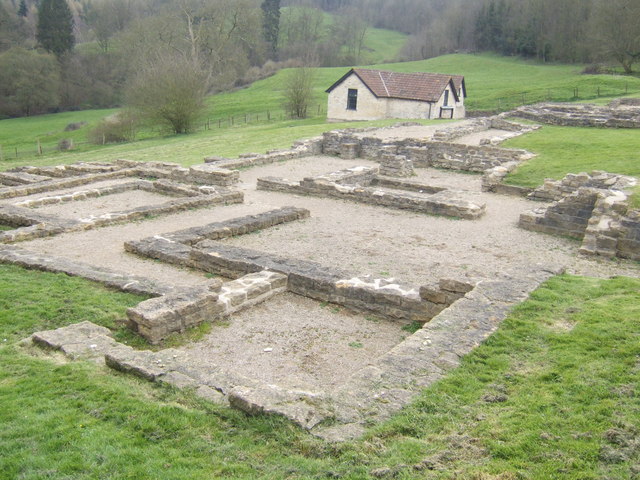
Great Witcombe Roman Villa
Great Witcombe Roman Villa was a villa built during the Roman occupation of Britain. It is located on a hillside at Great Witcombe, near Gloucester in...
Henley Bank High School
Henley Bank High School is an 11 to 18 academy in Gloucester, England. It is sponsored by the Greenshaw Learning Trust. In January 2018, the school was...
Nearby Amenities
Located within 500m of 51.833553,-2.117503Have you been to Barrow Wake?
Leave your review of Barrow Wake below (or comments, questions and feedback).