Barroway Drove
Settlement in Norfolk King's Lynn and West Norfolk
England
Barroway Drove
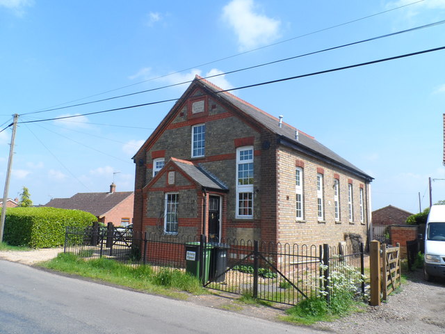
Barroway Drove is a small village located in the county of Norfolk, in the eastern part of England. Situated about 8 miles south of the town of Downham Market, it is nestled in the heart of the picturesque Fenland landscape. With a population of around 400 residents, the village exudes a tranquil and close-knit community atmosphere.
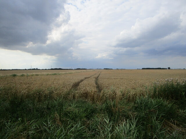
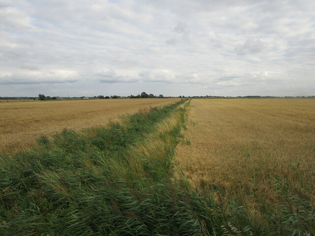
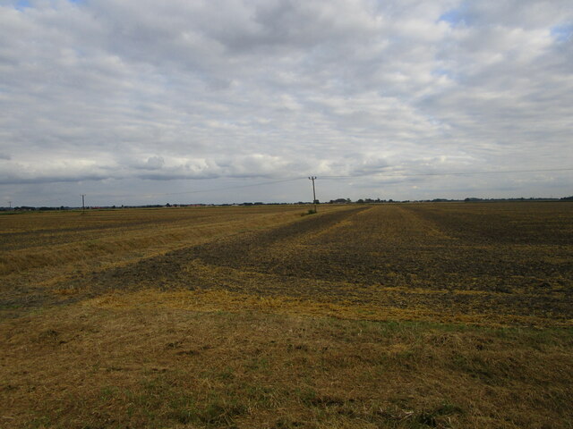
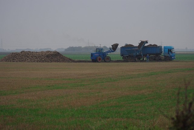
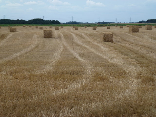
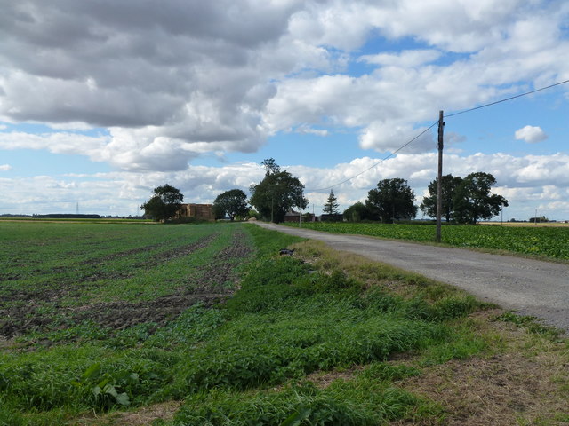
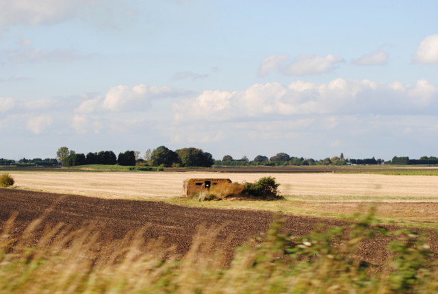
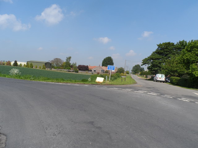
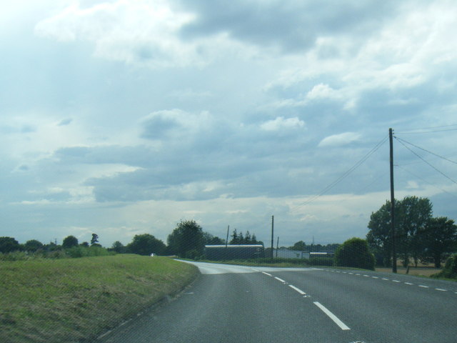
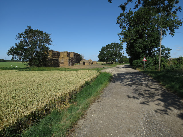
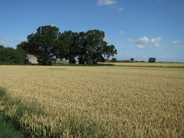
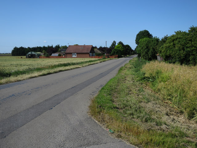
The village itself is characterized by its charming rural setting, with open fields and farmland surrounding it. Barroway Drove is known for its agricultural heritage, with farming playing a significant role in the local economy. The fertile soil of the area supports the growth of various crops, including cereals and vegetables.
In terms of amenities, Barroway Drove boasts a thriving community center that serves as a hub for various social events and gatherings. The village is also home to a primary school, providing education to local children. Additionally, there is a village pub, offering a cozy and friendly atmosphere for locals and visitors alike.
Nature enthusiasts will find plenty to explore in the surrounding area. The nearby Ouse Washes nature reserve is a haven for birdwatchers, attracting a wide variety of migratory and resident species. The reserve's wetland habitats provide a unique opportunity to observe rare and endangered birds in their natural environment.
Barroway Drove offers a peaceful and idyllic escape from the hustle and bustle of city life. With its welcoming community, beautiful countryside, and access to nature, it is an appealing destination for those seeking a tranquil retreat in the heart of Norfolk.
If you have any feedback on the listing, please let us know in the comments section below.
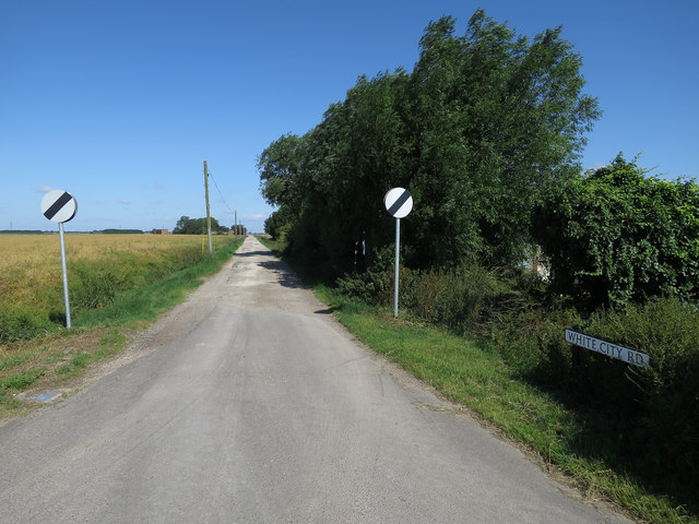
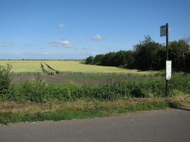
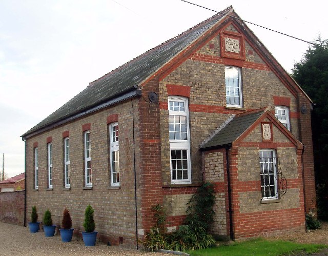
Barroway Drove Images
Images are sourced within 2km of 52.603044/0.313233 or Grid Reference TF5603. Thanks to Geograph Open Source API. All images are credited.
Barroway Drove is located at Grid Ref: TF5603 (Lat: 52.603044, Lng: 0.313233)
Administrative County: Norfolk
District: King's Lynn and West Norfolk
Police Authority: Norfolk
What 3 Words
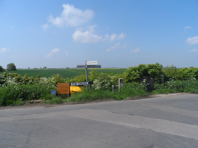
///sifts.vessel.clustered. Near Downham Market, Norfolk
Nearby Locations
Related Wikis
Barroway Drove
Barroway Drove is a village in the parish of Stow Bardolph in Norfolk, England. For the purposes of local government, it falls within the district of King...

Downham West
Downham West is a civil parish in the English county of Norfolk The parish is 47.6 miles (76.6 km) west of Norwich, 16.3 miles (26.2 km) south-south-west...

Well Creek
Well Creek is a waterway in Norfolk, England that is a tributary to the River Great Ouse. Rising from the River Nene, the waterway in its current alignment...

Nordelph
Nordelph is a civil parish near Downham Market in the English county of Norfolk. The parish covers an area of 16.57 km2 (6.40 sq mi) and had a population...

Molycourt Priory
The Priory of St Mary de Bello Loco, commonly referred to as Molycourt Priory, was a small Benedictine priory located in the parish of Outwell, Norfolk...

Downham Market railway station
Downham Market railway station (formerly Downham) is on the Fen line in the east of England, serving the town of Downham Market, Norfolk. It is 86 miles...

Denver railway station (England)
Denver railway station (originally opened as Denver Road Gate) was a station in Denver, Norfolk on the Great Eastern Railway route between King's Lynn...

Denver Windmill
Denver Windmill is a Grade II* listed tower mill at Denver, Norfolk, England. In March 2010, there were about 374,000 list entries of which 5.5% were Grade...
Nearby Amenities
Located within 500m of 52.603044,0.313233Have you been to Barroway Drove?
Leave your review of Barroway Drove below (or comments, questions and feedback).