Stow Bardolph
Civil Parish in Norfolk King's Lynn and West Norfolk
England
Stow Bardolph
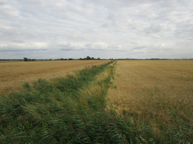
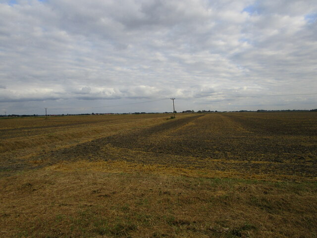
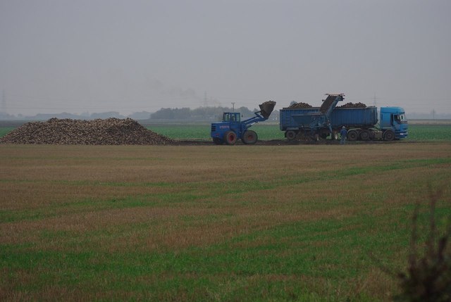
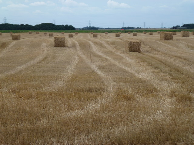
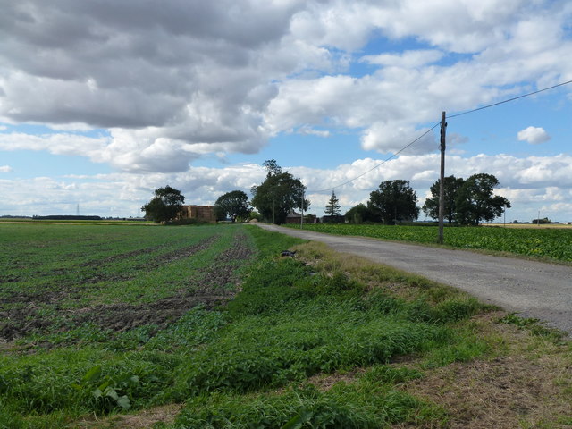
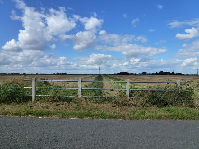
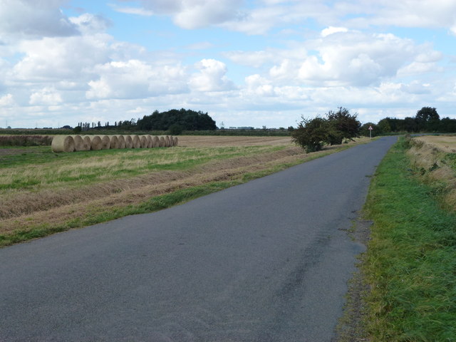
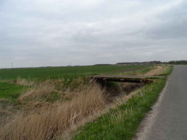
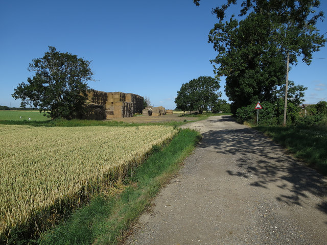
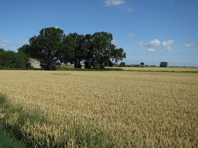
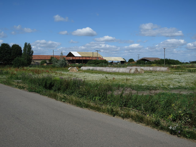
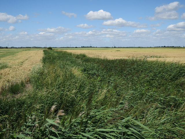
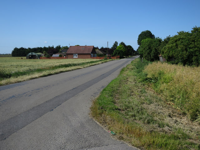
Stow Bardolph is a civil parish located in the county of Norfolk, England. Situated approximately 5 miles southeast of the town of King's Lynn, it covers an area of around 11 square kilometers. The village is set in a largely rural landscape, with open fields and farmland surrounding the area.
Stow Bardolph is known for its historic significance, with evidence of human settlement dating back to the Roman times. The village is home to the ruins of St. Botolph's Priory, a Benedictine priory that was founded in the 11th century. The priory was once a significant religious institution, but is now a scheduled ancient monument that attracts visitors interested in the area's rich history.
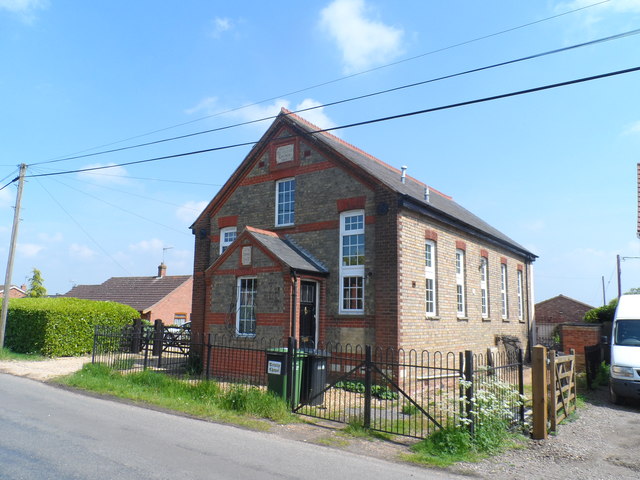
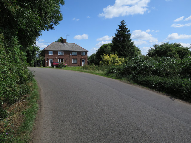
The village itself is small, with a population of around 400 people. It is characterized by traditional English countryside architecture, with a mix of timber-framed and brick houses. The local community is close-knit, and the village has a friendly and welcoming atmosphere.
Stow Bardolph is also known for its natural beauty, with the River Great Ouse passing through the parish. This provides opportunities for boating, fishing, and other water-based activities. The surrounding countryside offers picturesque walking and cycling routes, allowing visitors to explore the scenic landscapes of Norfolk.
Overall, Stow Bardolph offers a peaceful and historically significant destination for those looking to experience the charm of rural England.
If you have any feedback on the listing, please let us know in the comments section below.
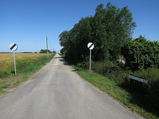
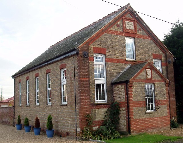
Stow Bardolph Images
Images are sourced within 2km of 52.608769/0.30417 or Grid Reference TF5603. Thanks to Geograph Open Source API. All images are credited.

Stow Bardolph is located at Grid Ref: TF5603 (Lat: 52.608769, Lng: 0.30417)
Administrative County: Norfolk
District: King's Lynn and West Norfolk
Police Authority: Norfolk
What 3 Words
///gums.clearly.worms. Near Outwell, Norfolk
Nearby Locations
Related Wikis
Barroway Drove
Barroway Drove is a village in the parish of Stow Bardolph in Norfolk, England. For the purposes of local government, it falls within the district of King...

Downham West
Downham West is a civil parish in the English county of Norfolk The parish is 47.6 miles (76.6 km) west of Norwich, 16.3 miles (26.2 km) south-south-west...

Nordelph
Nordelph is a civil parish near Downham Market in the English county of Norfolk. The parish covers an area of 16.57 km2 (6.40 sq mi) and had a population...

Molycourt Priory
The Priory of St Mary de Bello Loco, commonly referred to as Molycourt Priory, was a small Benedictine priory located in the parish of Outwell, Norfolk...

Well Creek
Well Creek is a waterway in Norfolk, England that is a tributary to the River Great Ouse. Rising from the River Nene, the waterway in its current alignment...

Downham Market railway station
Downham Market railway station (formerly Downham) is on the Fen line in the east of England, serving the town of Downham Market, Norfolk. It is 86 miles...

Denver railway station (England)
Denver railway station (originally opened as Denver Road Gate) was a station in Denver, Norfolk on the Great Eastern Railway route between King's Lynn...

Outwell Village railway station
Outwell Village railway station was a station in Outwell, Norfolk on the Wisbech and Upwell Tramway. It opened in 1884 and closed to passengers in 1928...
Nearby Amenities
Located within 500m of 52.608769,0.30417Have you been to Stow Bardolph?
Leave your review of Stow Bardolph below (or comments, questions and feedback).