Barrow Vale
Settlement in Somerset
England
Barrow Vale
Barrow Vale is a picturesque village nestled in the heart of Somerset, England. Situated just five miles south of the historic town of Glastonbury, it is surrounded by rolling countryside and offers breathtaking views of the Mendip Hills.
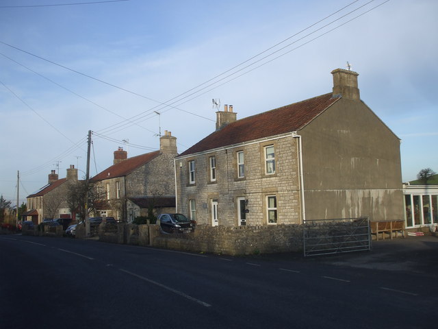
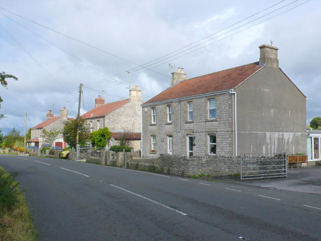
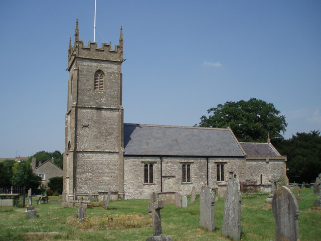
The village is known for its idyllic charm, with quaint thatched cottages lining the narrow lanes. Barrow Vale boasts a close-knit community, where residents take pride in maintaining the village's beauty and preserving its rich history. The local church, St. Mary's, is a striking feature, dating back to the 12th century and showcasing stunning medieval architecture.
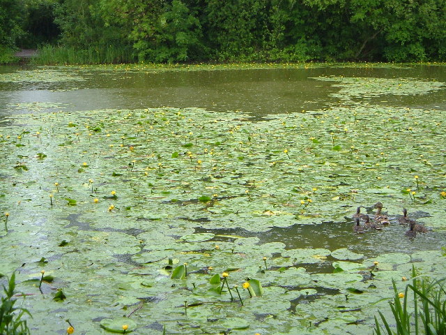
Nature enthusiasts will find plenty to explore in Barrow Vale, as the area is abundant in wildlife and natural beauty. The nearby Barrow Mump, a prominent hill with the remains of an ancient fortress, provides panoramic views across the surrounding countryside and is a popular spot for hikers and photographers.
Barrow Vale is also known for its agricultural heritage, with many farms dotting the landscape. The village hosts an annual harvest festival, where locals and visitors come together to celebrate the bounty of the land and showcase local produce.
Although small in size, Barrow Vale offers a range of amenities for its residents, including a village hall, a primary school, and a cozy pub serving traditional Somerset cider. The village's proximity to Glastonbury ensures access to additional amenities and cultural attractions, making it an ideal location for those seeking a peaceful rural retreat with convenient access to larger towns.
Overall, Barrow Vale is a quintessential English village, embodying the charm and beauty of the Somerset countryside while offering a close-knit community and a wealth of natural and historical wonders to explore.
If you have any feedback on the listing, please let us know in the comments section below.
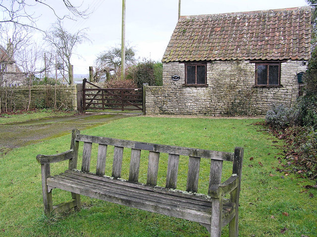
Barrow Vale Images
Images are sourced within 2km of 51.341177/-2.506615 or Grid Reference ST6460. Thanks to Geograph Open Source API. All images are credited.


Barrow Vale is located at Grid Ref: ST6460 (Lat: 51.341177, Lng: -2.506615)
Unitary Authority: Bath and North East Somerset
Police Authority: Avon and Somerset
What 3 Words
///otherwise.panning.long. Near Timsbury, Somerset
Nearby Locations
Related Wikis

Wansdyke (UK Parliament constituency)
Wansdyke was a county constituency represented in the House of Commons of the Parliament of the United Kingdom. It elected one Member of Parliament (MP...

North East Somerset (UK Parliament constituency)
North East Somerset is a constituency represented in the House of Commons of the UK Parliament, since it was created for the 2010 general election, by...
Church of All Saints, Farmborough
The Church of All Saints is an Anglican parish church in Farmborough, Somerset, England. It was principally built in the 15th century (with parts dating...
Farmborough
Farmborough is a small village and civil parish, 6 miles (9.7 km) south west of Bath in Somerset, England. It straddles both the A39 and A368 roads. The...
Hunstrete Lake
Hunstrete Lake (grid reference ST646622) is a mature lake of 5 acres (20,000 m2). Two new lakes of 3.5 acres (14,000 m2) were constructed alongside in...

High Littleton
High Littleton is a village and civil parish in Somerset, England, about 1.2 miles (1.9 km) north of Paulton and 7.5 miles (12 km) south-west of Bath....

Chelwood
Chelwood is a small village and civil parish in Somerset, England, and is in the affluent Chew Valley in the Bath and North East Somerset council area...
Hunstrete
Hunstrete (grid reference ST625643) is a small village on the River Chew in the Chew Valley, Bath and North East Somerset, England. It falls within the...
Nearby Amenities
Located within 500m of 51.341177,-2.506615Have you been to Barrow Vale?
Leave your review of Barrow Vale below (or comments, questions and feedback).