Calves Mead Covert

Wood, Forest in Gloucestershire Stroud

England

Calves Mead Covert

Lane to Througham Slad One of many such dead-end lanes in the Cotswolds.
Lane to Througham Slad Credit: Jonathan Billinger

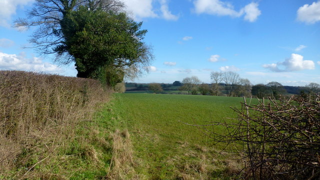
Calves Mead Covert is a beautiful woodland located in Gloucestershire, England. Covering an area of approximately 200 acres, this covert is a part of the larger Forest of Dean, which is known for its rich biodiversity and stunning natural landscapes.

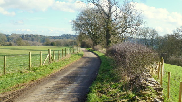
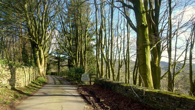
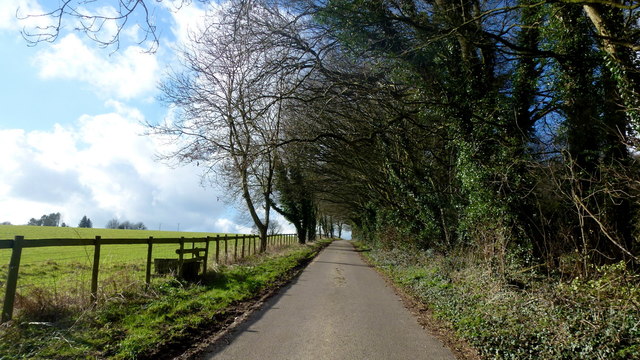
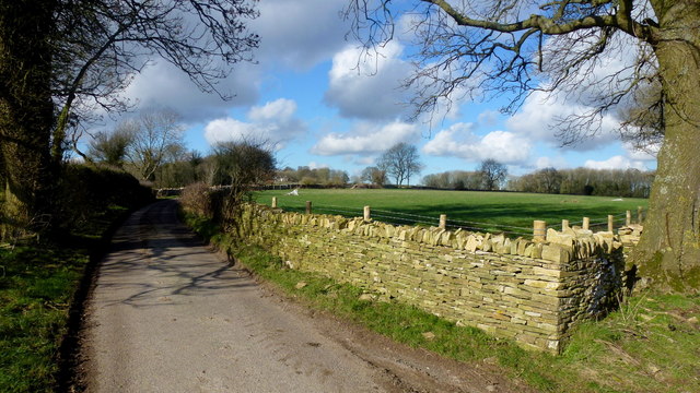
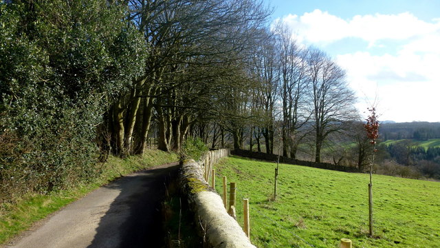
The woodland is primarily composed of deciduous trees, such as oak, beech, and ash, creating a vibrant and lush environment. The dense tree canopy provides shade and shelter for a wide range of flora and fauna, making it a haven for wildlife enthusiasts and nature lovers.

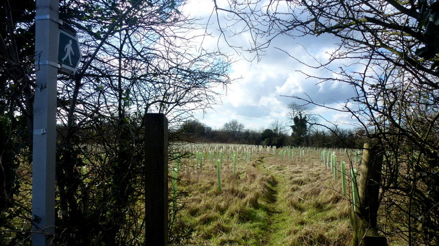
Walking through Calves Mead Covert, visitors can expect to encounter a variety of wildlife species. The woodland is home to many bird species, including woodpeckers, owls, and various songbirds. Deer, foxes, badgers, and rabbits are also commonly spotted within the covert, adding to the diverse wildlife population.

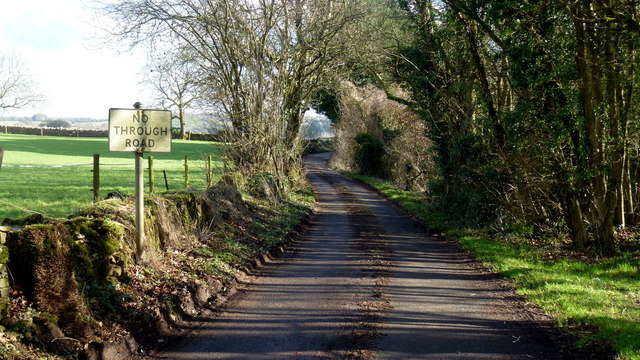
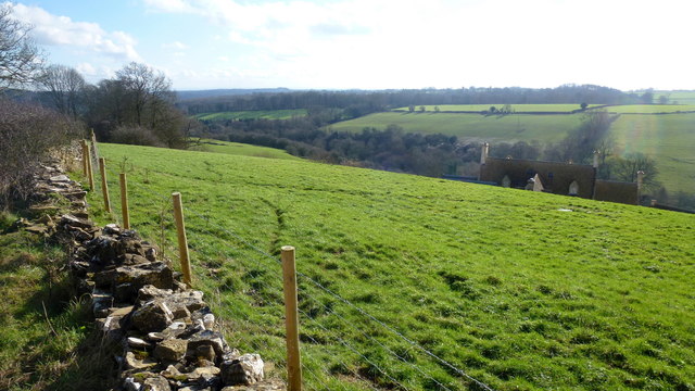
The woodland boasts well-maintained walking trails, allowing visitors to explore its natural wonders at their own pace. These trails wind through the woodland, offering breathtaking views of the surrounding countryside and glimpses of the nearby River Severn.

Calves Mead Covert is a popular destination for those seeking a peaceful retreat or a chance to reconnect with nature. Its tranquil ambiance and untouched beauty make it an ideal spot for picnics, photography, or simply enjoying a quiet moment in the midst of nature.

Overall, Calves Mead Covert is a hidden gem within the Forest of Dean, a place where visitors can immerse themselves in the beauty of Gloucestershire's woodlands and experience the wonders of the natural world.

If you have any feedback on the listing, please let us know in the comments section below.

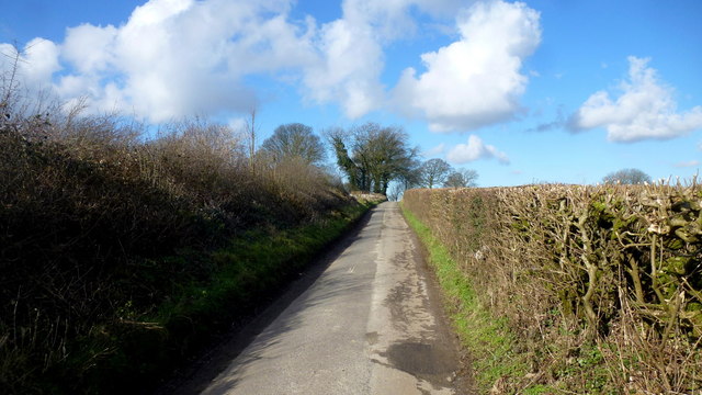
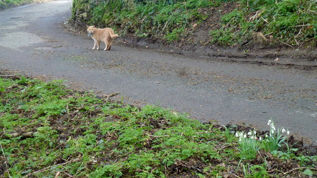
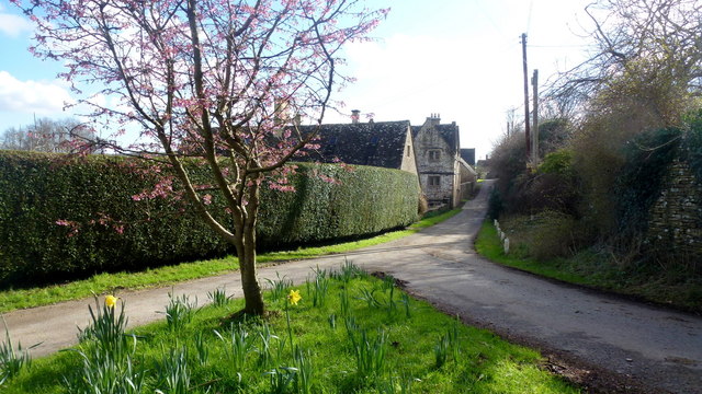
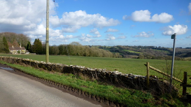
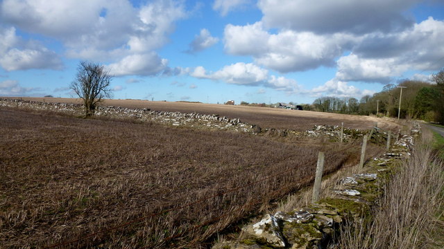
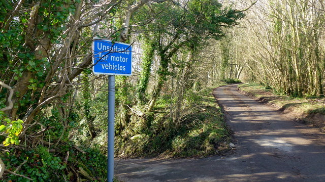
Calves Mead Covert Images

Images are sourced within 2km of 51.769791/-2.1053087 or Grid Reference SO9207. Thanks to Geograph Open Source API. All images are credited.

Lane to Througham Slad One of many such dead-end lanes in the Cotswolds.
Lane to Througham Slad
One of many such dead-end lanes in the Cotswolds.
The end of the lane at Througham Slad Manor According to OS mapping, the public road appears to carry on another 100m or so from this point. However our country landowners would seem to annex a bit of public property by just putting up a PRIVATE sign with NO TURNING BEYOND THIS POINT to drive home the message. No change in road surface though.
I didn't take the car any further.
The end of the lane at Througham Slad Manor
According to OS mapping, the public road appears to carry on another 100m or so from this point. However our country landowners would seem to annex a bit of public property by just putting up a PRIVATE sign with NO TURNING BEYOND THIS POINT to drive home the message. No change in road surface though. I didn't take the car any further.
Footpath east from Througham Lane Follows this field edge towards Honeycombe Farm over typical Cotswolds countryside.
Footpath east from Througham Lane
Follows this field edge towards Honeycombe Farm over typical Cotswolds countryside.
Footpath west from Througham Lane Passes through recently-planted woodland of the future.
Footpath west from Througham Lane
Passes through recently-planted woodland of the future.
Througham Lane Looking north towards The Camp.
Througham Lane
Looking north towards The Camp.
Upper Througham Farm Remnants of a pond by old farm buildings.
Upper Througham Farm
Remnants of a pond by old farm buildings.
Lanes at Througham Upper Througham Farm is to the left.
Lanes at Througham
Upper Througham Farm is to the left.
Minding his own business A ginger tom on a mid-afternoon constitutional tour around his estate.
Wild snowdrops in the bottom right of this picture.
Minding his own business
A ginger tom on a mid-afternoon constitutional tour around his estate. Wild snowdrops in the bottom right of this picture.
Througham A Cotswolds hamlet clustered around a fine stone house, Througham Court, seen ahead on the left.
The pink blossom is that of a winter-flowering cherry.
Througham
A Cotswolds hamlet clustered around a fine stone house, Througham Court, seen ahead on the left. The pink blossom is that of a winter-flowering cherry.
Dovecote gable at Througham Court An interesting historical feature on this Cotswolds building.
Dovecote gable at Througham Court
An interesting historical feature on this Cotswolds building.
Lane and stile Lane west from Througham with a short footpath heading diagonally across the field to the left.
Lane and stile
Lane west from Througham with a short footpath heading diagonally across the field to the left.
Short footpath to Througham The path leads across this field to the stile in <a href="https://www.geograph.org.uk/photo/4888965">SO9107 : Lane and stile</a>.
Short footpath to Througham
The path leads across this field to the stile in SO9107 : Lane and stile.
Cotswolds farmland Typical scene with stone walls to the west of Througham.
Cotswolds farmland
Typical scene with stone walls to the west of Througham.
No Through Road to Througham Slad The lane boasts a pre-Worboys sign.
No Through Road to Througham Slad
The lane boasts a pre-Worboys sign.
Unsuitable? I beg to differ; I was able to use this steep, narrow lane without any trouble.
Unsuitable?
I beg to differ; I was able to use this steep, narrow lane without any trouble.
Lane from Througham Slad Nice bit of new-build drystone walling here.
Lane from Througham Slad
Nice bit of new-build drystone walling here.
View over Jones Slad Farm Cotswolds house with a fine southerly aspect.
View over Jones Slad Farm
Cotswolds house with a fine southerly aspect.
Approaching Througham Slad Winter sunlight glints off the shiny grey bark of the beeches.
Approaching Througham Slad
Winter sunlight glints off the shiny grey bark of the beeches.
Show me another place!

Calves Mead Covert is located at Grid Ref: SO9207 (Lat: 51.769791, Lng: -2.1053087)

Administrative County: Gloucestershire

District: Stroud

Police Authority: Gloucestershire

What 3 Words

///with.brands.encroach. Near Chalford, Gloucestershire

Related Wikis

Nearby Amenities

Located within 500m of 51.769791,-2.1053087
Barrier: stile
Lat/Long: 51.7724527/-2.1026361
Natural: spring
Lat/Long: 51.7712614/-2.1062575
The data included in this document is from www.openstreetmap.org. The data is made available under ODbL.

Have you been to Calves Mead Covert?

Leave your review of Calves Mead Covert below (or comments, questions and feedback).