Tredington Brake
Wood, Forest in Gloucestershire Tewkesbury
England
Tredington Brake

Tredington Brake is a small woodland area located in the county of Gloucestershire, England. Situated in the heart of the Cotswolds, this tranquil forest is a popular destination for nature enthusiasts and those seeking a peaceful retreat.
Covering an area of approximately 50 acres, Tredington Brake is predominantly composed of deciduous trees, including oak, beech, and birch. The forest floor is adorned with a rich carpet of vibrant wildflowers, creating a picturesque scene during the spring and summer months. The diverse range of flora and fauna found within the woodland makes it a haven for local wildlife, including deer, foxes, and various species of birds.
Visitors to Tredington Brake can enjoy a variety of activities amidst the serene surroundings. There are several well-maintained walking trails that wind through the forest, providing opportunities for leisurely strolls or more adventurous hikes. Along these paths, visitors can discover hidden glades, babbling brooks, and ancient trees with fascinating stories to tell. The forest also features picnic areas and benches, allowing visitors to relax and take in the natural beauty that surrounds them.
Tredington Brake is easily accessible, with a small car park located nearby. The forest is open to the public year-round, although it is particularly stunning in the autumn when the leaves change color, creating a breathtaking display of reds, oranges, and yellows.
Whether you are a nature lover, a wildlife enthusiast, or simply seeking a tranquil escape, Tredington Brake offers a slice of wilderness in the heart of Gloucestershire.
If you have any feedback on the listing, please let us know in the comments section below.
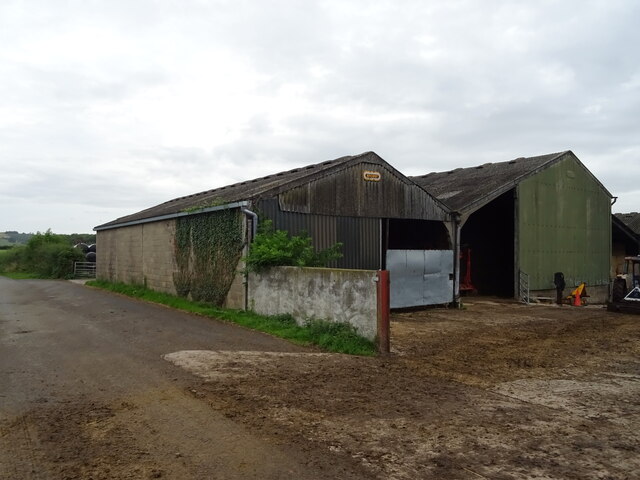
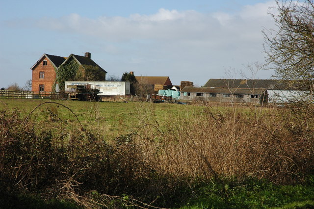
Tredington Brake Images
Images are sourced within 2km of 51.968741/-2.1057755 or Grid Reference SO9230. Thanks to Geograph Open Source API. All images are credited.


Tredington Brake is located at Grid Ref: SO9230 (Lat: 51.968741, Lng: -2.1057755)
Administrative County: Gloucestershire
District: Tewkesbury
Police Authority: Gloucestershire
What 3 Words
///embellish.earlobes.artichoke. Near Bishops Cleeve, Gloucestershire
Nearby Locations
Related Wikis

Stoke Orchard
Stoke Orchard is a village or hamlet north-west of Cheltenham in Gloucestershire, England. Stoke Orchard was formerly home to the Coal Research Establishment...
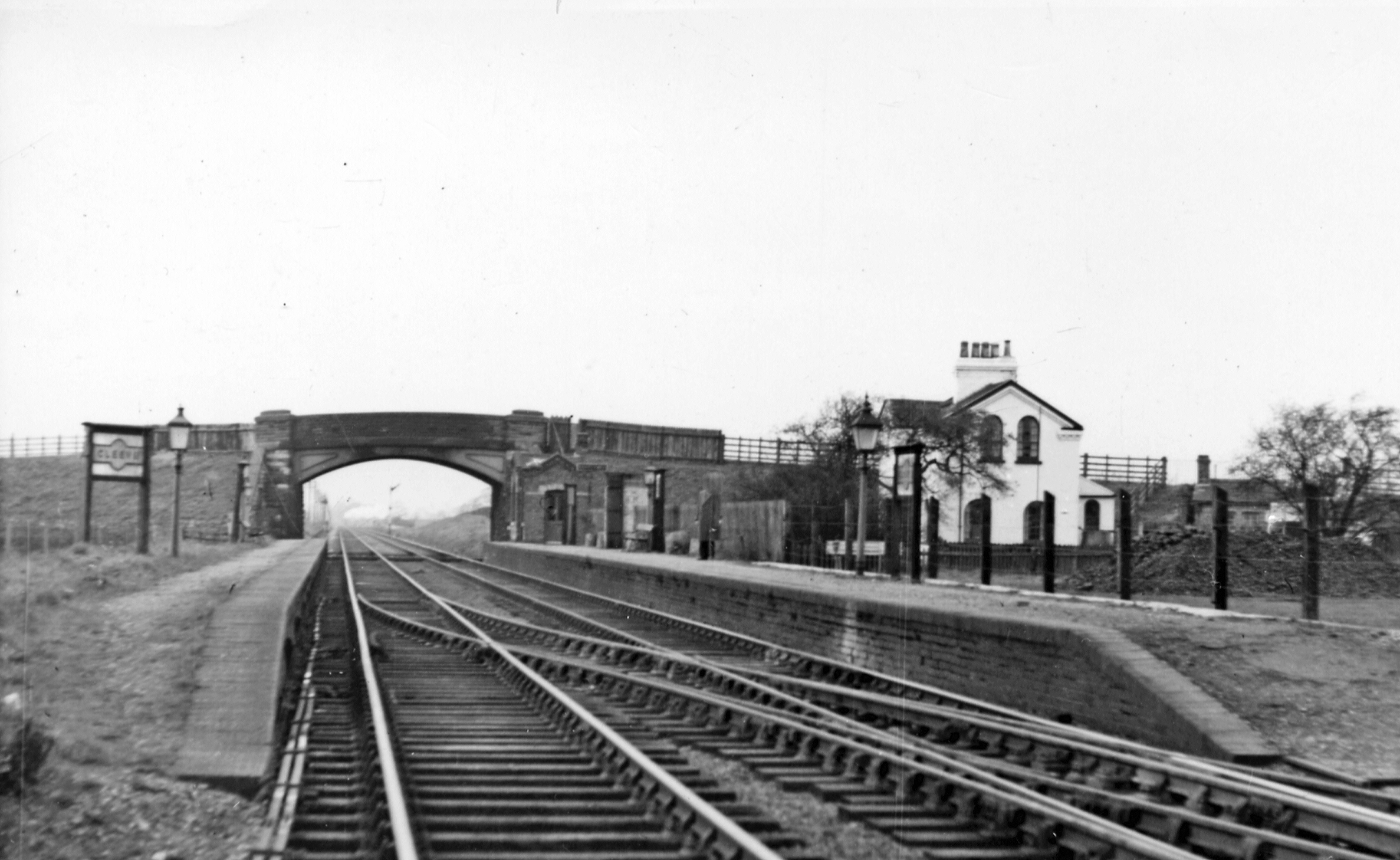
Cleeve railway station
Cleeve railway station was a station in Stoke Orchard, Gloucestershire, England. The station was named for the nearby village of Bishop's Cleeve. ��2...

Tredington, Gloucestershire
Tredington is a village and former civil parish, now in the parish of Stoke Orchard near Tewkesbury, in the Tewkesbury district, in the county of Gloucestershire...

RAF Stoke Orchard
Royal Air Force Stoke Orchard or more simply RAF Stoke Orchard is a former Royal Air Force station near the village of Stoke Orchard, north west of Cheltenham...
Tewkesbury Rural District
Tewkesbury Rural District was from 1894 to 1935 a rural district in the southwestern part of the Midlands in England. It had the unusual feature of including...

Wingmoor Farm Meadow
Wingmoor Farm Meadow (grid reference SO937273) is a 3-hectare (7.4-acre) nature reserve in Gloucestershire. The site is listed in the ‘Tewkesbury Borough...
Wheatpieces
Wheatpieces is a large housing estate and civil parish in Gloucestershire, England. It lies immediately east of Tewkesbury, and is in effect a suburb...
Walton Cardiff
Walton Cardiff is a village and former civil parish, now in the parish of Ashchurch Rural, in the Tewkesbury district, in Gloucestershire, England, 1 mile...
Nearby Amenities
Located within 500m of 51.968741,-2.1057755Have you been to Tredington Brake?
Leave your review of Tredington Brake below (or comments, questions and feedback).