Dell Wood
Wood, Forest in Worcestershire Wychavon
England
Dell Wood
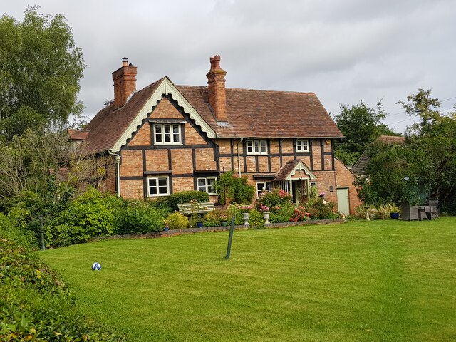
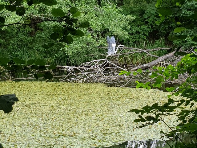
Dell Wood is a picturesque woodland located in Worcestershire, England. Situated in the heart of the county, it is a part of the expansive Wyre Forest, renowned for its natural beauty and rich biodiversity. Dell Wood covers an area of approximately 100 acres and is characterized by its dense canopy of mature trees, including oak, beech, and ash.
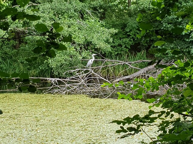
The woodland is a haven for wildlife, providing a habitat for a diverse range of species. It is home to an array of bird species, such as woodpeckers, owls, and warblers, which delight visitors with their melodic songs. Additionally, deer, foxes, badgers, and squirrels can often be spotted within the wood, adding to its charm and allure.
Dell Wood is a popular destination for nature enthusiasts and outdoor adventurers alike. It offers a network of well-maintained footpaths and trails, enabling visitors to explore the woodland at their own pace. The wood is particularly enchanting during the spring season when the forest floor is carpeted with vibrant bluebells, creating a breathtaking sight.
For those seeking a tranquil retreat, Dell Wood provides a serene environment to relax and unwind. The peaceful atmosphere, combined with the soothing sounds of nature, makes it an ideal spot for meditation, picnics, or simply soaking in the natural beauty.
Overall, Dell Wood is a cherished natural gem in Worcestershire, attracting visitors from far and wide who seek solace in the tranquil ambiance and appreciate the abundant wildlife that thrives within its boundaries.
If you have any feedback on the listing, please let us know in the comments section below.
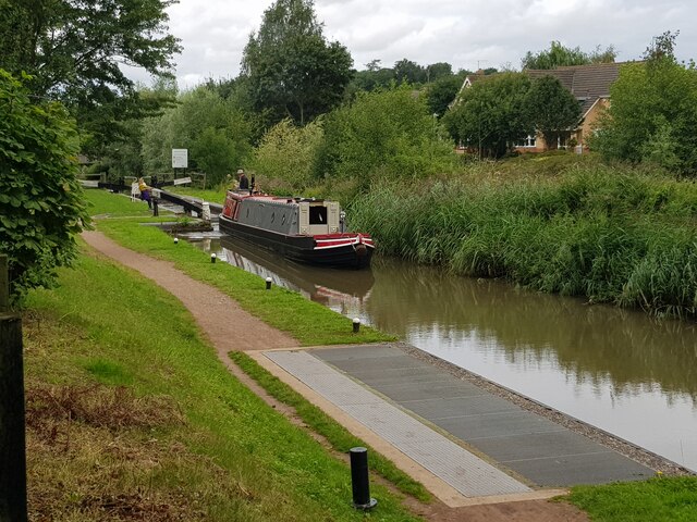
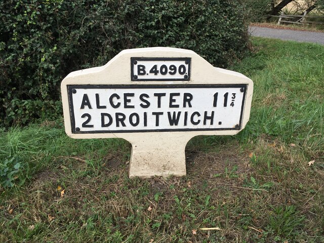
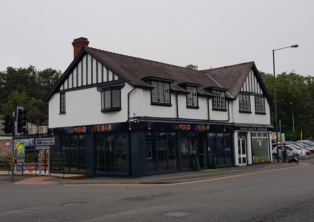
Dell Wood Images
Images are sourced within 2km of 52.260857/-2.1283455 or Grid Reference SO9162. Thanks to Geograph Open Source API. All images are credited.

Dell Wood is located at Grid Ref: SO9162 (Lat: 52.260857, Lng: -2.1283455)
Administrative County: Worcestershire
District: Wychavon
Police Authority: West Mercia
What 3 Words
///locals.meals.shark. Near Droitwich, Worcestershire
Nearby Locations
Related Wikis

Hadzor
Hadzor is a small village near Droitwich, Worcestershire, England. There are around fourteen houses and a Roman Catholic church in the village, although...

Droitwich Spa Lido
The Droitwich Spa Lido is a lido in Droitwich Spa, Worcestershire, England. It is one of the few remaining inland, open-air salt-water swimming pools...
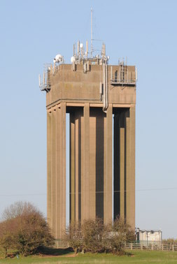
Droitwich Water Tower
The Droitwich Water Tower, also known as Yew Tree Hill Water Tower, is a structure on Yew Tree Hill in Droitwich, England, owned and operated by Severn...

Chateau Impney
Chateau Impney Hotel & Exhibition Centre is a Grade II* listed 19th-century house built in the style of an elaborate French château near Droitwich Spa...

Old Town Hall, Droitwich Spa
The Old Town Hall is a municipal building in St Andrews Street, Droitwich Spa, Worcestershire, England. The structure, which was the headquarters of Droitwich...

RGS Dodderhill
RGS Dodderhill is a private school on the outskirts of Droitwich Spa, Worcestershire, England. Girls & Boys are educated from 2–11 years of age - most...
Droitwich Road railway station
Droitwich Road railway station served the town of Droitwich Spa, Worcestershire, England, from 1840 to 1855 on the Birmingham and Gloucester Railway....

Droitwich Spa
Droitwich Spa (often abbreviated to Droitwich ) is a historic spa town in the Wychavon district in northern Worcestershire, England, on the River Salwarpe...
Nearby Amenities
Located within 500m of 52.260857,-2.1283455Have you been to Dell Wood?
Leave your review of Dell Wood below (or comments, questions and feedback).