Sandpit Plantation

Wood, Forest in Worcestershire Wychavon

England

Sandpit Plantation

Three Wells, timber framed house in Hadzor, Worcestershire
Three Wells, timber framed house in Hadzor, Worcestershire Credit: Jeff Gogarty

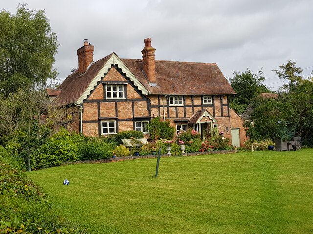
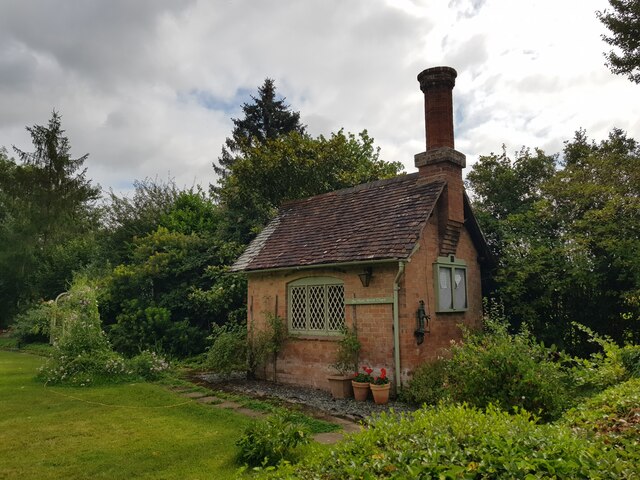
Sandpit Plantation is a serene woodland located in Worcestershire, England. Spanning over a vast area, this plantation is known for its diverse flora and fauna, making it a haven for nature enthusiasts and wildlife lovers alike.

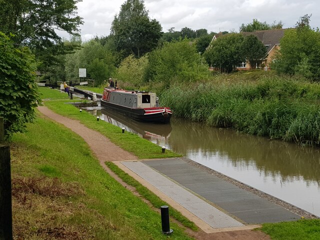
The plantation is primarily composed of woodlands, with a variety of tree species such as oak, beech, and birch dominating the landscape. The lush greenery provides a picturesque backdrop, especially during the spring and summer months when the trees are in full bloom. Walking through the woodland, visitors will encounter a network of well-maintained trails, allowing for leisurely strolls and exploration.

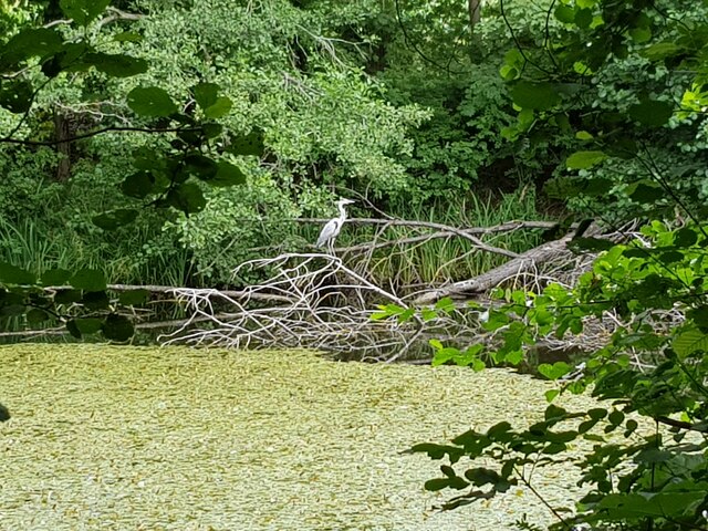
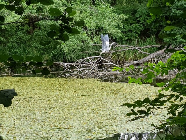
Apart from its natural beauty, Sandpit Plantation is also home to an array of wildlife. Birdwatchers will be delighted by the presence of various bird species, including woodpeckers, jays, and buzzards. The plantation's dense vegetation provides excellent cover for smaller mammals like squirrels and rabbits, as well as some larger mammals such as deer.

The plantation also offers recreational activities for visitors to enjoy. There are designated picnic areas, where families and friends can gather for a relaxing outdoor meal amidst the tranquil surroundings. Additionally, the plantation is a popular spot for nature photography enthusiasts, offering ample opportunities to capture stunning shots of the picturesque landscape and wildlife.

Overall, Sandpit Plantation in Worcestershire is a nature lover's paradise, offering a peaceful retreat from the hustle and bustle of everyday life. Its diverse ecosystem, well-maintained trails, and recreational facilities make it a perfect destination for those seeking to immerse themselves in the beauty of nature.

If you have any feedback on the listing, please let us know in the comments section below.

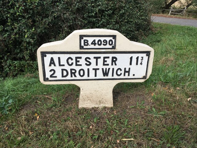
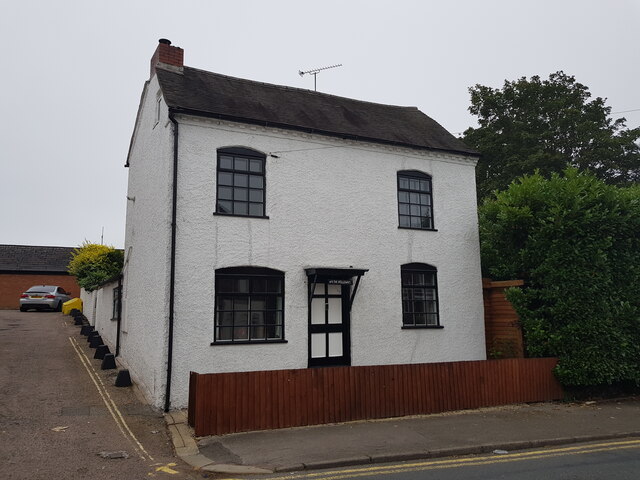
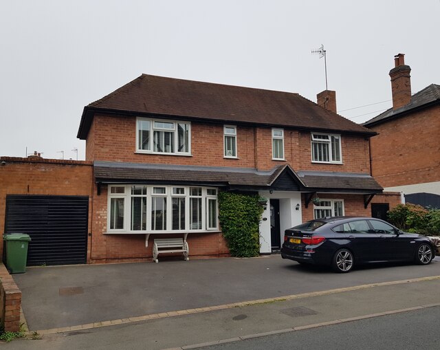
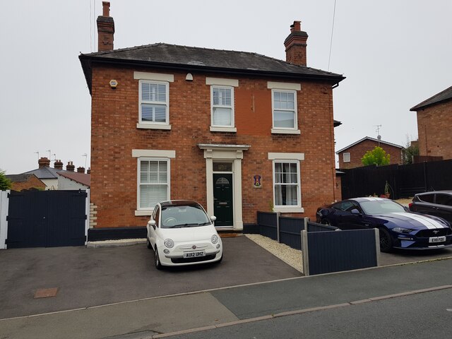
Sandpit Plantation Images

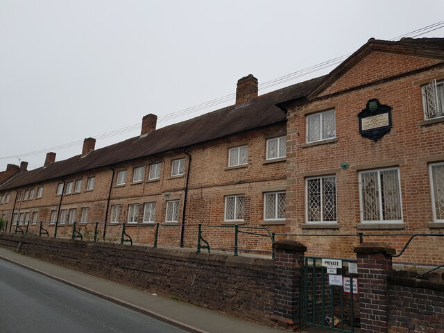
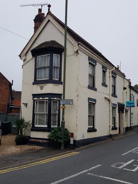
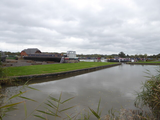
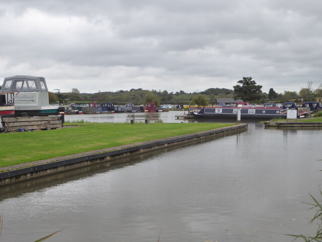
Images are sourced within 2km of 52.26304/-2.1294214 or Grid Reference SO9162. Thanks to Geograph Open Source API. All images are credited.

Three Wells, timber framed house in Hadzor, Worcestershire
The Wash House Chapel In the garden of Three Wells, Hadzor.
The Wash House Chapel
In the garden of Three Wells, Hadzor.
Small cemetery at Hadzor
Heron at Swan Pool, Droitwich Spa
Heron taking flight at Swan Pool, Droitwich Spa
Narrow boat on the Droitwich Junction Canal The grating on the towpath is where water is taken from the canal and transferred via pipes under the towpath to where the canal begins again. This is because the re-builders of the canal did not want to pollute the River Salwarpe.
Narrow boat on the Droitwich Junction Canal
The grating on the towpath is where water is taken from the canal and transferred via pipes under the towpath to where the canal begins again. This is because the re-builders of the canal did not want to pollute the River Salwarpe.
Ordnance Survey Bench Mark This mark is located on railway bridge number 37 that spans the Worcester to Birmingham canal. These marks were used by Ordnance Survey for mapping purposes.
<a href="https://www.geograph.org.uk/photo/6961993">SO9263 : Bridge 37, Worcester to Birmingham canal</a>
Ordnance Survey Bench Mark
This mark is located on railway bridge number 37 that spans the Worcester to Birmingham canal. These marks were used by Ordnance Survey for mapping purposes. SO9263 : Bridge 37, Worcester to Birmingham canal
Bridge 37, Worcester to Birmingham canal This railway bridge spans the Worcester to Birmingham canal. This bridge also has an Ordnance Survey bench mark.
<a href="https://www.geograph.org.uk/photo/6961985">SO9263 : Ordnance Survey Bench Mark</a>
Bridge 37, Worcester to Birmingham canal
This railway bridge spans the Worcester to Birmingham canal. This bridge also has an Ordnance Survey bench mark. SO9263 : Ordnance Survey Bench Mark
Replacement Milestone, B4090, Salt Way, 20m West of Junction with Goosehill Lane The milestone is located on the verge by drive to farm on the north side of road. Parish of Hanbury (Wychavon District). Metal plate attached to concrete post, Bradley post design, erected by the County Council in the 21st century. Replacement milestone produced by the Milestone Society Worcestershire group in 2008.

Inscription reads:-
B4090 / ALCESTER 11¾ / 2 DROITWICH. / C.C.W.

Milestone Society National ID: WO_DWAC02R
Replacement Milestone, B4090, Salt Way, 20m West of Junction with Goosehill Lane
The milestone is located on the verge by drive to farm on the north side of road. Parish of Hanbury (Wychavon District). Metal plate attached to concrete post, Bradley post design, erected by the County Council in the 21st century. Replacement milestone produced by the Milestone Society Worcestershire group in 2008. Inscription reads:- B4090 / ALCESTER 11¾ / 2 DROITWICH. / C.C.W. Milestone Society National ID: WO_DWAC02R
Diamond Coffee Bar, at the crossroads Droitwich Many businesses have tried to flourish at this location which is subject to flooding.
Diamond Coffee Bar, at the crossroads Droitwich
Many businesses have tried to flourish at this location which is subject to flooding.
2, The Holloway, Droitwich Spa
5 The Holloway, Droitwich Spa This used to be a general store at least up to 2001 when the owner complained of too many roadworks in the road.
5 The Holloway, Droitwich Spa
This used to be a general store at least up to 2001 when the owner complained of too many roadworks in the road.
7 The Holloway, Droitwich Spa Presently a semi-detached house this was formally the Ring O'Bells <a href="https://www.geograph.org.uk/photo/5196358">SO9063 : Ring O' Bells, Droitwich</a> which is still marked in the glass above the door.
7 The Holloway, Droitwich Spa
Presently a semi-detached house this was formally the Ring O'Bells SO9063 : Ring O' Bells, Droitwich which is still marked in the glass above the door.
Coventry Almshouses, The Holloway, Droitwich Spa This is one of the original wings which has recently been repointed with lime mortar. Said to have been founded as a result of a horse race between Henry Coventry and Sir John Pakington of Westwood <a href="https://www.geograph.org.uk/photo/4583125">SO8763 : Westwood House from the drive</a>. The loser was to pay for the building of the property named after the winner. Henry Coventry horse won but John Pakington had no cash spare so promised the income of two farms for the upkeep and Henry Coventry left money the building of the houses in his will.
Coventry Almshouses, The Holloway, Droitwich Spa
This is one of the original wings which has recently been repointed with lime mortar. Said to have been founded as a result of a horse race between Henry Coventry and Sir John Pakington of Westwood SO8763 : Westwood House from the drive. The loser was to pay for the building of the property named after the winner. Henry Coventry horse won but John Pakington had no cash spare so promised the income of two farms for the upkeep and Henry Coventry left money the building of the houses in his will.
1, The Holloway, Droitwich Spa
Droitwich Spa Marina  Accessed from the Droitwich Junction Canal in the foreground.
Droitwich Spa Marina
Accessed from the Droitwich Junction Canal in the foreground.
Droitwich Spa Marina  Accessed from the Droitwich Junction Canal seen in the foreground.
Droitwich Spa Marina
Accessed from the Droitwich Junction Canal seen in the foreground.
Droitwich Junction Canal - the M5 tunnel Classed as bridge No. 5 this is actually a tight 60 metre long tunnel. The canal at this point carries water from the Body Brook and the headroom is variable through the tunnel. This waterfront is accessible by some steps from the left but is now virtually completely hidden from the nearby road by the growth of vegetation in the last decade or so.
Droitwich Junction Canal - the M5 tunnel
Classed as bridge No. 5 this is actually a tight 60 metre long tunnel. The canal at this point carries water from the Body Brook and the headroom is variable through the tunnel. This waterfront is accessible by some steps from the left but is now virtually completely hidden from the nearby road by the growth of vegetation in the last decade or so.
Show me another place!

Sandpit Plantation is located at Grid Ref: SO9162 (Lat: 52.26304, Lng: -2.1294214)

Administrative County: Worcestershire

District: Wychavon

Police Authority: West Mercia

What 3 Words

///pushes.tribune.aware. Near Droitwich, Worcestershire

Related Wikis

Hadzor

Hadzor is a small village near Droitwich, Worcestershire, England. There are around fourteen houses and a Roman Catholic church in the village, although...

Droitwich Spa Lido

The Droitwich Spa Lido is a lido in Droitwich Spa, Worcestershire, England. It is one of the few remaining inland, open-air salt-water swimming pools...

Chateau Impney

Chateau Impney Hotel & Exhibition Centre is a Grade II* listed 19th-century house built in the style of an elaborate French château near Droitwich Spa...

Old Town Hall, Droitwich Spa

The Old Town Hall is a municipal building in St Andrews Street, Droitwich Spa, Worcestershire, England. The structure, which was the headquarters of Droitwich...

Nearby Amenities

Located within 500m of 52.26304,-2.1294214
Mini Roundabout
Direction: clockwise
Lat/Long: 52.2665207/-2.1337437
Seamark Type: gate
Waterway: lock_gate
Lat/Long: 52.2670555/-2.1309178
Seamark Type: gate
Waterway: lock_gate
Lat/Long: 52.2670939/-2.1305655
Seamark Type: gate
Waterway: lock_gate
Lat/Long: 52.2673413/-2.1286503
Seamark Type: gate
Waterway: lock_gate
Lat/Long: 52.2673975/-2.1282761
Leisure: playground
Lat/Long: 52.2664371/-2.1248004
Give Way
Direction: forward
Lat/Long: 52.2658872/-2.1242183
Generator Method: photovoltaic
Generator Output Electricity: yes
Generator Source: solar
Generator Type: solar_photovoltaic_panel
Location: roof
Power: generator
Lat/Long: 52.2665619/-2.1263963
Power: pole
Lat/Long: 52.2632189/-2.1284468
Power: pole
Lat/Long: 52.2652626/-2.1353348
Power: pole
Lat/Long: 52.2648161/-2.1343477
Power: pole
Lat/Long: 52.2645239/-2.1335538
Power: pole
Lat/Long: 52.2643721/-2.1325707
Saint Hubert Hadzor
Power: pole
Transformer: distribution
Voltage Primary: 11000
Lat/Long: 52.2632911/-2.1325868
Power: pole
Lat/Long: 52.263713/-2.132092
Power: pole
Lat/Long: 52.2642202/-2.1315904
Power: pole
Lat/Long: 52.2640914/-2.1307535
Hanbury Road
Power: pole
Transformer: distribution
Voltage Primary: 11000
Lat/Long: 52.2658585/-2.1272908
Power: pole
Lat/Long: 52.2651198/-2.1282081
Power: pole
Lat/Long: 52.2644312/-2.1290611
Power: pole
Lat/Long: 52.2637631/-2.1298899
Power: pole
Lat/Long: 52.2628532/-2.1274678
Location Transition: yes
Power: pole
Lat/Long: 52.2625056/-2.1255219
Hadzor Hall
Power: pole
Transformer: distribution
Voltage Primary: 11000
Lat/Long: 52.2608213/-2.1239421
Location Transition: yes
Power: pole
Lat/Long: 52.2618953/-2.1237396
Home Farm Hadzor
Power: pole
Transformer: distribution
Voltage Primary: 11000
Lat/Long: 52.2621535/-2.1223837
Power: pole
Lat/Long: 52.2617316/-2.1228357
Power: pole
Lat/Long: 52.2612694/-2.1233131
The data included in this document is from www.openstreetmap.org. The data is made available under ODbL.

Have you been to Sandpit Plantation?

Leave your review of Sandpit Plantation below (or comments, questions and feedback).