Hadzor
Settlement in Worcestershire Wychavon
England
Hadzor
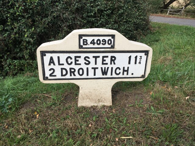
Hadzor is a small village located in the district of Worcestershire, England. Situated approximately 3 miles south of the town of Droitwich Spa, Hadzor is known for its picturesque countryside setting and its historical significance.
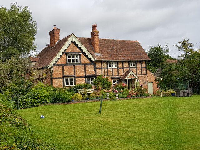
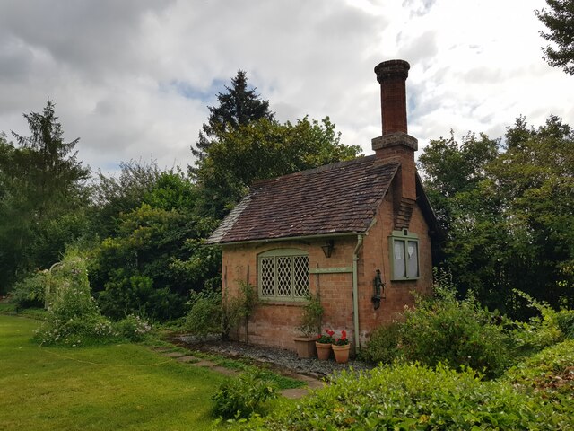
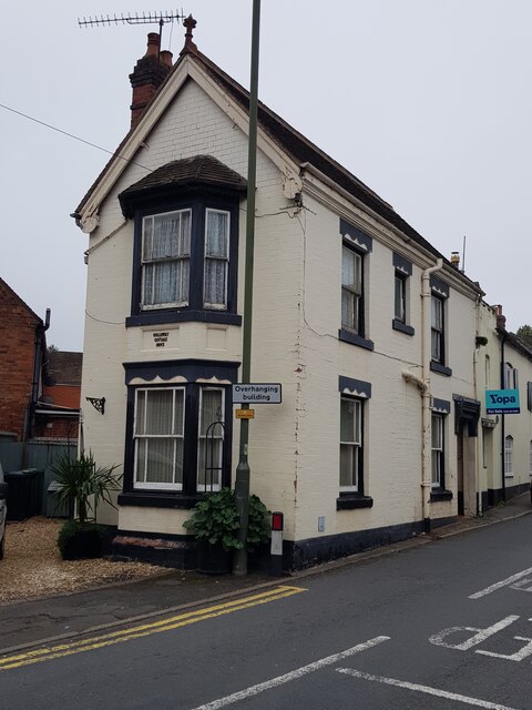
The village is home to a population of around 300 residents, who enjoy the tranquil and idyllic surroundings. Hadzor is characterized by its charming cottages and traditional architecture, reflecting its rich history dating back to the medieval period.
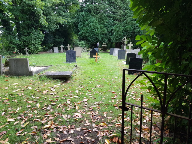
One of the notable landmarks in Hadzor is the St. John the Baptist Church, a beautiful Grade II listed building. Constructed in the 13th century, the church showcases stunning architectural features and serves as a significant place for worship and community gatherings.
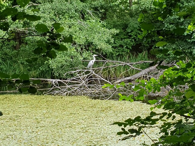
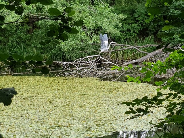
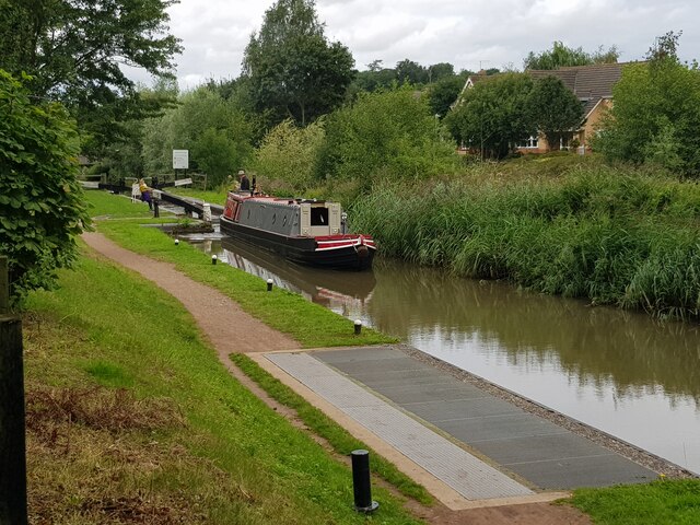
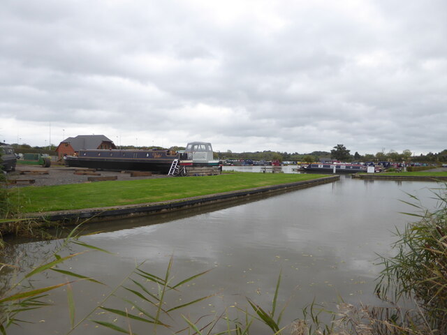
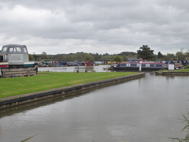
Hadzor is surrounded by verdant landscapes, rolling hills, and vast farmlands, making it ideal for countryside walks and outdoor activities. The area is also known for its farming heritage, with several farms and agricultural businesses operating in the vicinity.
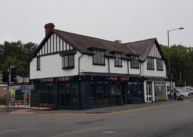
Despite its small size, Hadzor benefits from its proximity to the nearby town of Droitwich Spa, where residents can find a range of amenities including shops, restaurants, and leisure facilities. The village also benefits from excellent transport links, with easy access to major roads and nearby railway stations.
In summary, Hadzor is a charming village in Worcestershire, offering a peaceful and rural lifestyle amidst beautiful scenery and a rich historical heritage.
If you have any feedback on the listing, please let us know in the comments section below.
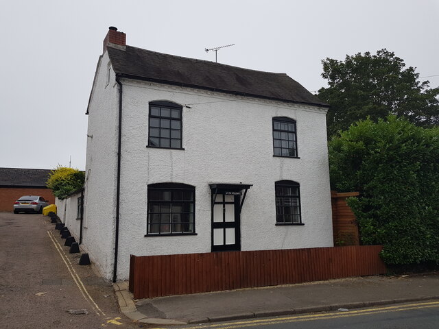
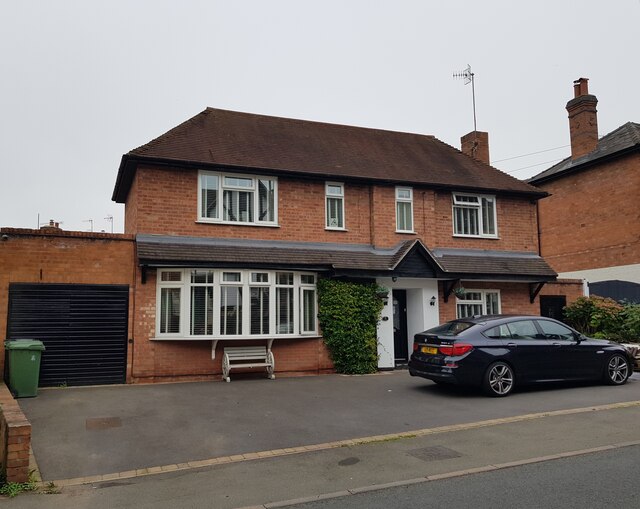
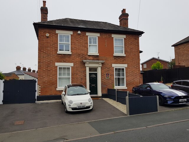
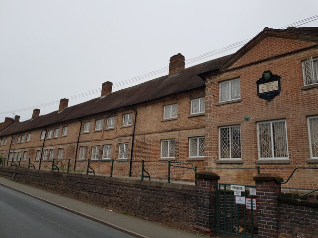
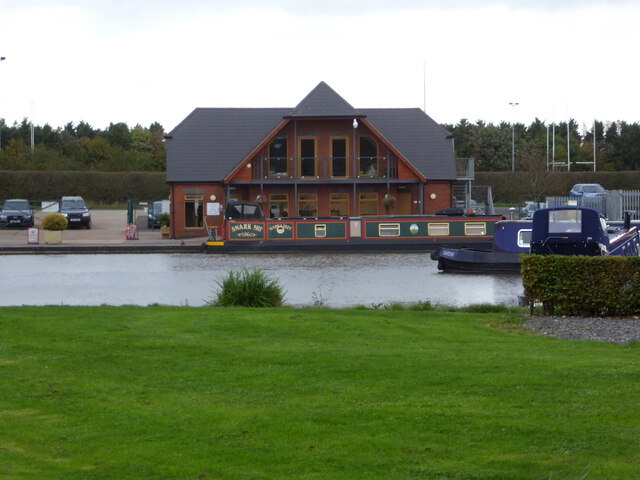
Hadzor Images
Images are sourced within 2km of 52.258927/-2.128048 or Grid Reference SO9162. Thanks to Geograph Open Source API. All images are credited.

Hadzor is located at Grid Ref: SO9162 (Lat: 52.258927, Lng: -2.128048)
Administrative County: Worcestershire
District: Wychavon
Police Authority: West Mercia
What 3 Words
///libraries.bravo.quarrel. Near Droitwich, Worcestershire
Nearby Locations
Related Wikis

Hadzor
Hadzor is a small village near Droitwich, Worcestershire, England. There are around fourteen houses and a Roman Catholic church in the village, although...
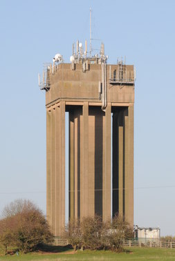
Droitwich Water Tower
The Droitwich Water Tower, also known as Yew Tree Hill Water Tower, is a structure on Yew Tree Hill in Droitwich, England, owned and operated by Severn...

Droitwich Spa Lido
The Droitwich Spa Lido is a lido in Droitwich Spa, Worcestershire, England. It is one of the few remaining inland, open-air salt-water swimming pools...

Chateau Impney
Chateau Impney Hotel & Exhibition Centre is a Grade II* listed 19th-century house built in the style of an elaborate French château near Droitwich Spa...

Old Town Hall, Droitwich Spa
The Old Town Hall is a municipal building in St Andrews Street, Droitwich Spa, Worcestershire, England. The structure, which was the headquarters of Droitwich...

Droitwich Road railway station
Droitwich Road railway station served the town of Droitwich Spa, Worcestershire, England, from 1840 to 1855 on the Birmingham and Gloucester Railway....
RGS Dodderhill
RGS Dodderhill is a private school on the outskirts of Droitwich Spa, Worcestershire, England. Girls & Boys are educated from 2–11 years of age - most...

Church of the Sacred Heart and St Catherine of Alexandria
The Church of the Sacred Heart and St Catherine of Alexandria is a Catholic church situated in Droitwich Spa, Worcestershire, England, noted for its remarkable...
Nearby Amenities
Located within 500m of 52.258927,-2.128048Have you been to Hadzor?
Leave your review of Hadzor below (or comments, questions and feedback).