Hady
Settlement in Derbyshire Chesterfield
England
Hady
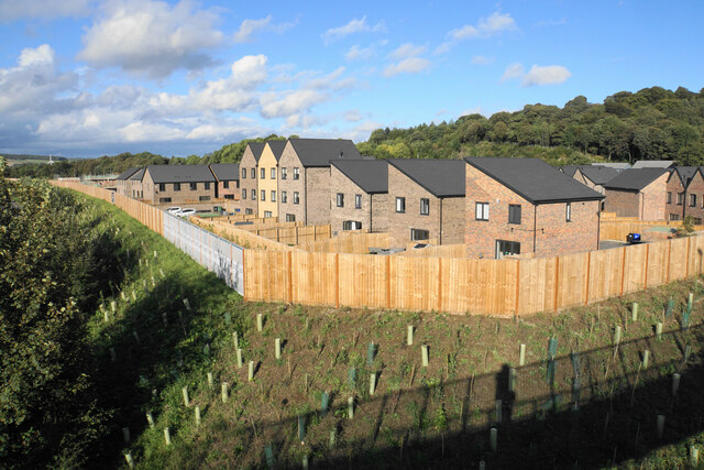
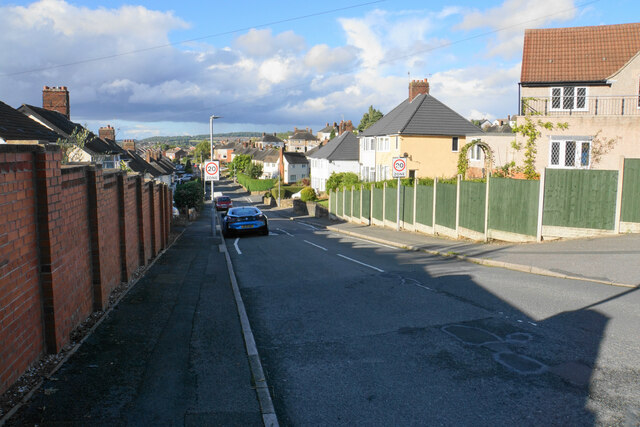
Hady is a small village located in the county of Derbyshire, England. Situated approximately 2 miles west of the town of Chesterfield, Hady is a rural community surrounded by picturesque countryside.
The village is known for its peaceful atmosphere and close-knit community. The local residents primarily live in traditional stone-built houses and cottages, giving the village a charming and traditional feel. Hady is also home to a number of farms, contributing to its rural character.
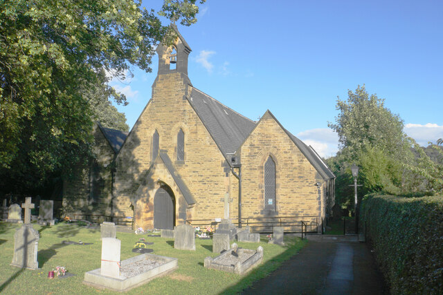
Although small in size, Hady offers its residents a range of amenities. The village has a primary school, providing education for the local children. There is also a village hall, which acts as a hub for community events and gatherings.
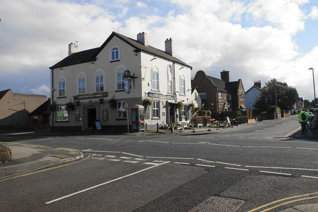
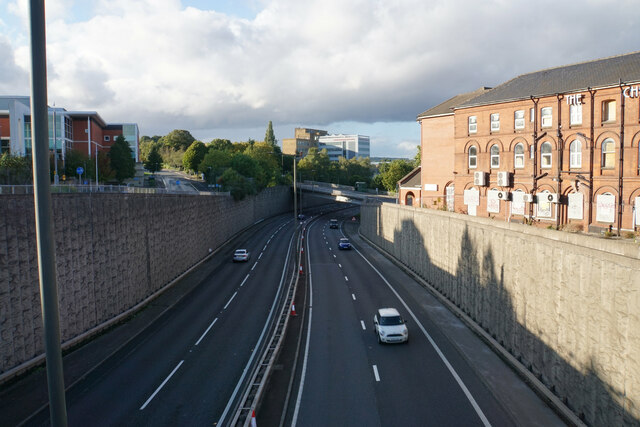
Despite its rural location, Hady benefits from its close proximity to Chesterfield. The larger town offers a wider range of amenities, including supermarkets, shops, and leisure facilities. The transport links in the area are also good, with regular bus services connecting Hady to Chesterfield and other nearby towns.
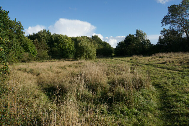
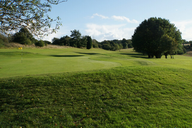
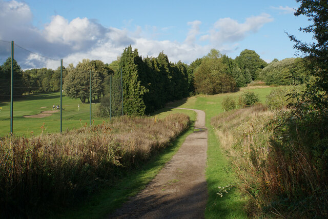
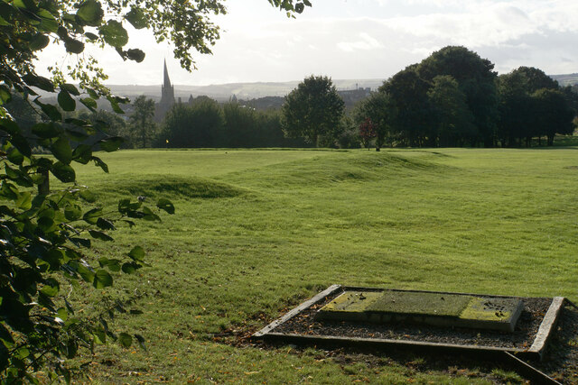
The surrounding countryside provides ample opportunities for outdoor activities such as walking, cycling, and horse riding. The Peak District National Park is also within easy reach, offering stunning landscapes and numerous attractions for nature enthusiasts.
Overall, Hady is a tranquil and idyllic village, perfect for those seeking a peaceful rural lifestyle while still having access to nearby amenities.
If you have any feedback on the listing, please let us know in the comments section below.
Hady Images
Images are sourced within 2km of 53.233815/-1.405188 or Grid Reference SK3970. Thanks to Geograph Open Source API. All images are credited.


Hady is located at Grid Ref: SK3970 (Lat: 53.233815, Lng: -1.405188)
Administrative County: Derbyshire
District: Chesterfield
Police Authority: Derbyshire
What 3 Words
///digs.rival.valley. Near Chesterfield, Derbyshire
Related Wikis
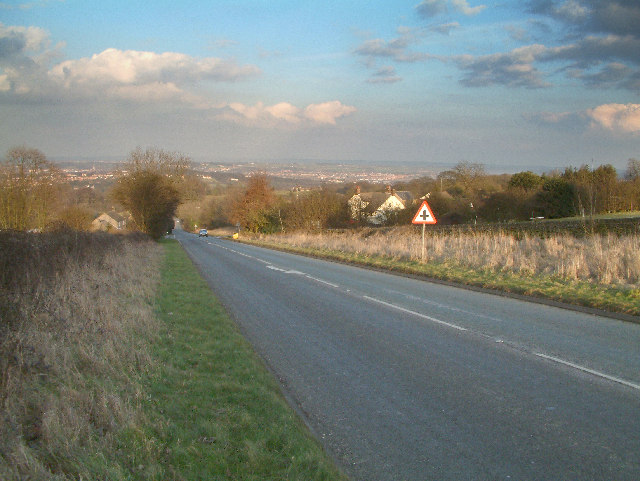
A632 road
The A632 is a major road in Derbyshire and Nottinghamshire, England. It starts in Matlock (53.1347°N 1.5485°W / 53.1347; -1.5485 (A632 road (western...

Chesterfield Royal Hospital NHS Foundation Trust
Chesterfield Royal Hospital NHS Foundation Trust became a NHS Foundation Trust in January 2005, providing health services at the Chesterfield Royal Hospital...
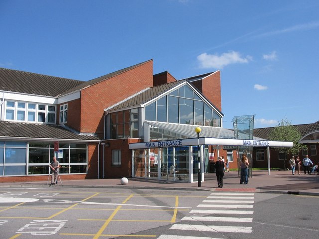
Chesterfield Royal Hospital
Chesterfield Royal Hospital is an acute general hospital in Chesterfield, Derbyshire. It is managed by the Chesterfield Royal Hospital NHS Foundation Trust...
Edwin Swale
Wing Commander Edwin Swale (28 June 1899 – 19 July 1978) was an English First World War flying ace credited with 17 aerial victories. His victory list...
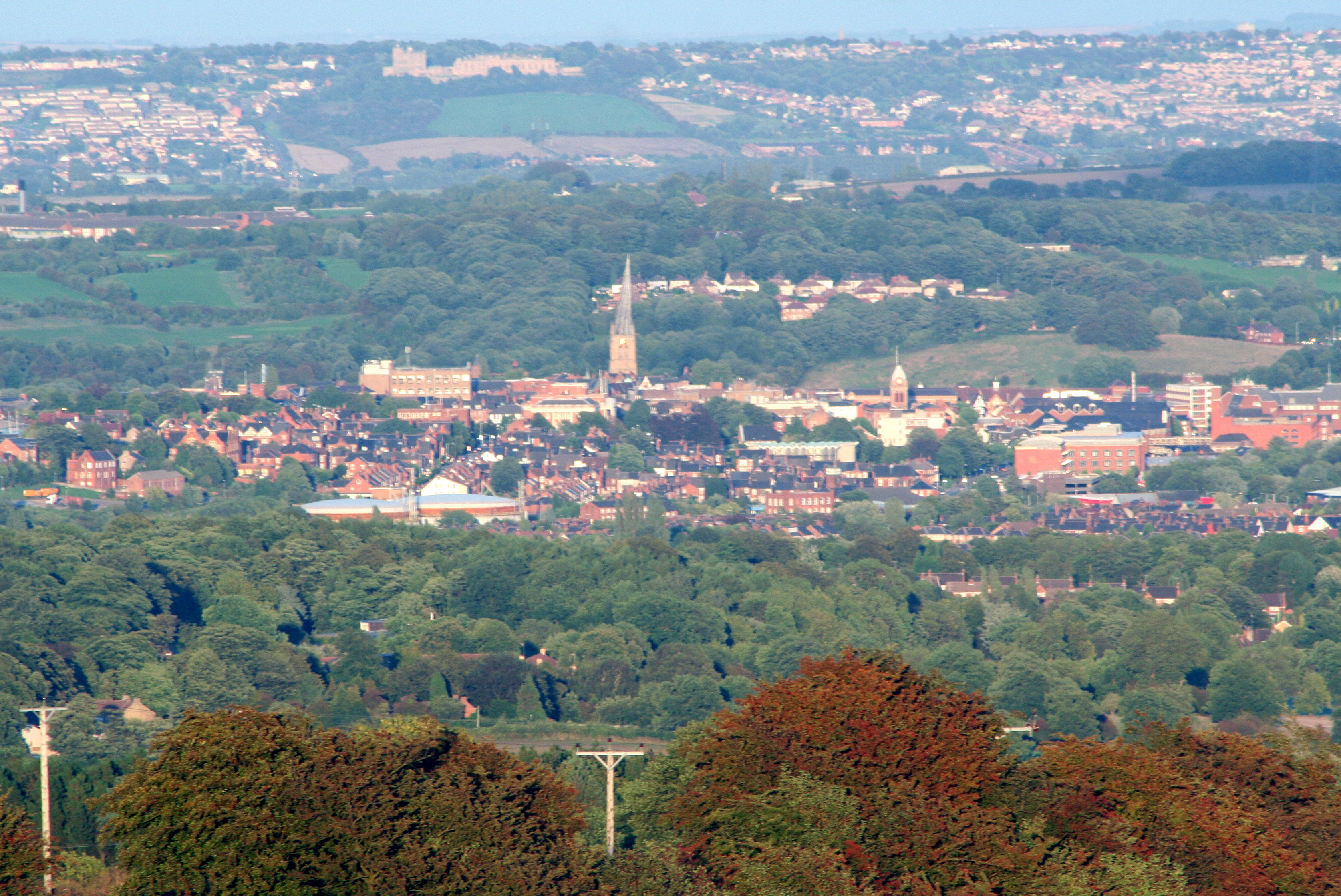
Borough of Chesterfield
The Borough of Chesterfield is a non-metropolitan district with borough status in Derbyshire, England. It is named after the town of Chesterfield, its...

Municipal Borough of Chesterfield
Chesterfield was a municipal borough in Derbyshire, England from 1835 to 1974. It was formed under the Municipal Corporations Act 1835 from the Ancient...
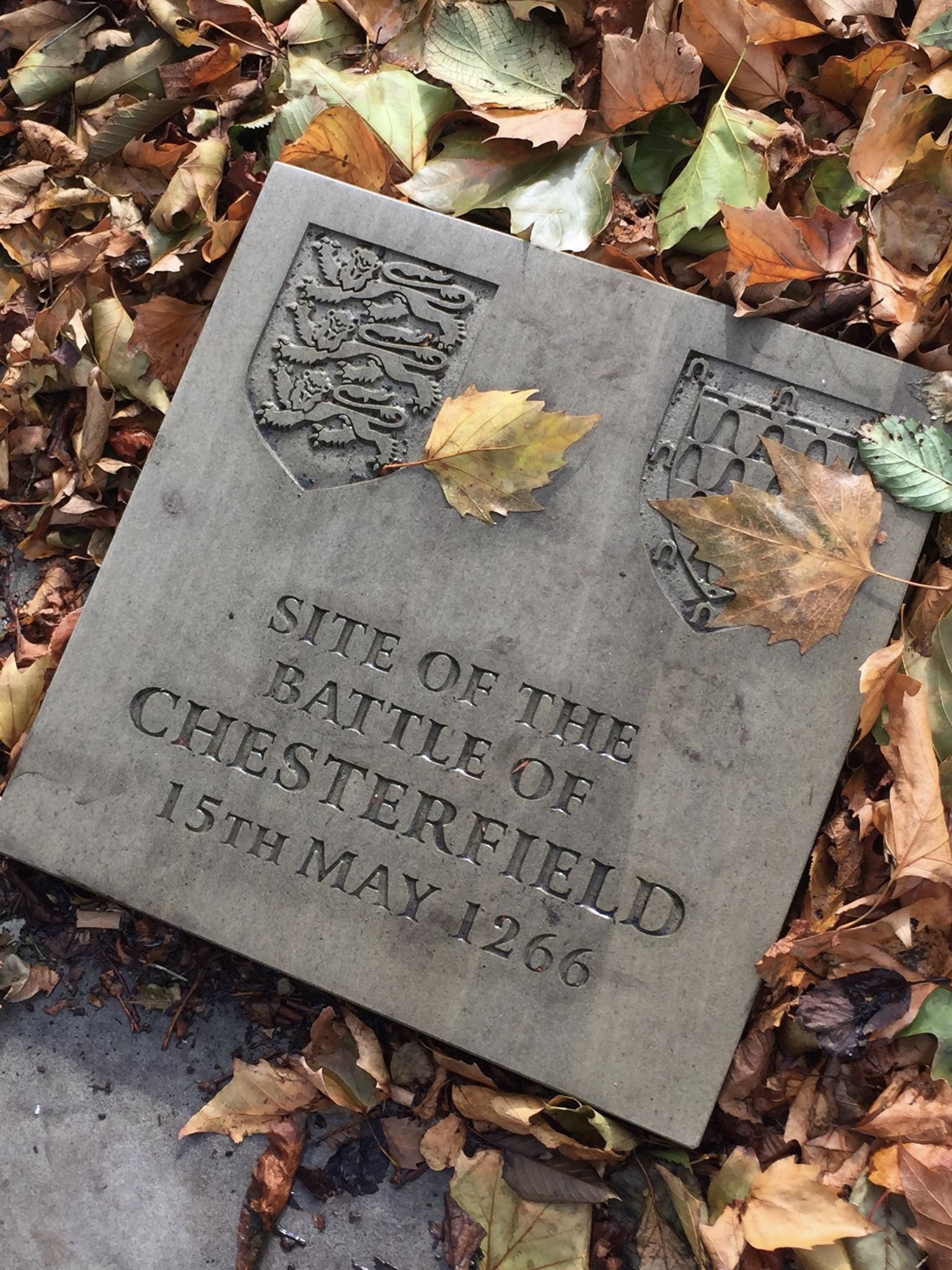
Battle of Chesterfield
The Battle of Chesterfield was a minor skirmish in the latter stages of 13th-century England's Second Barons' War. == Background == The battle was part...
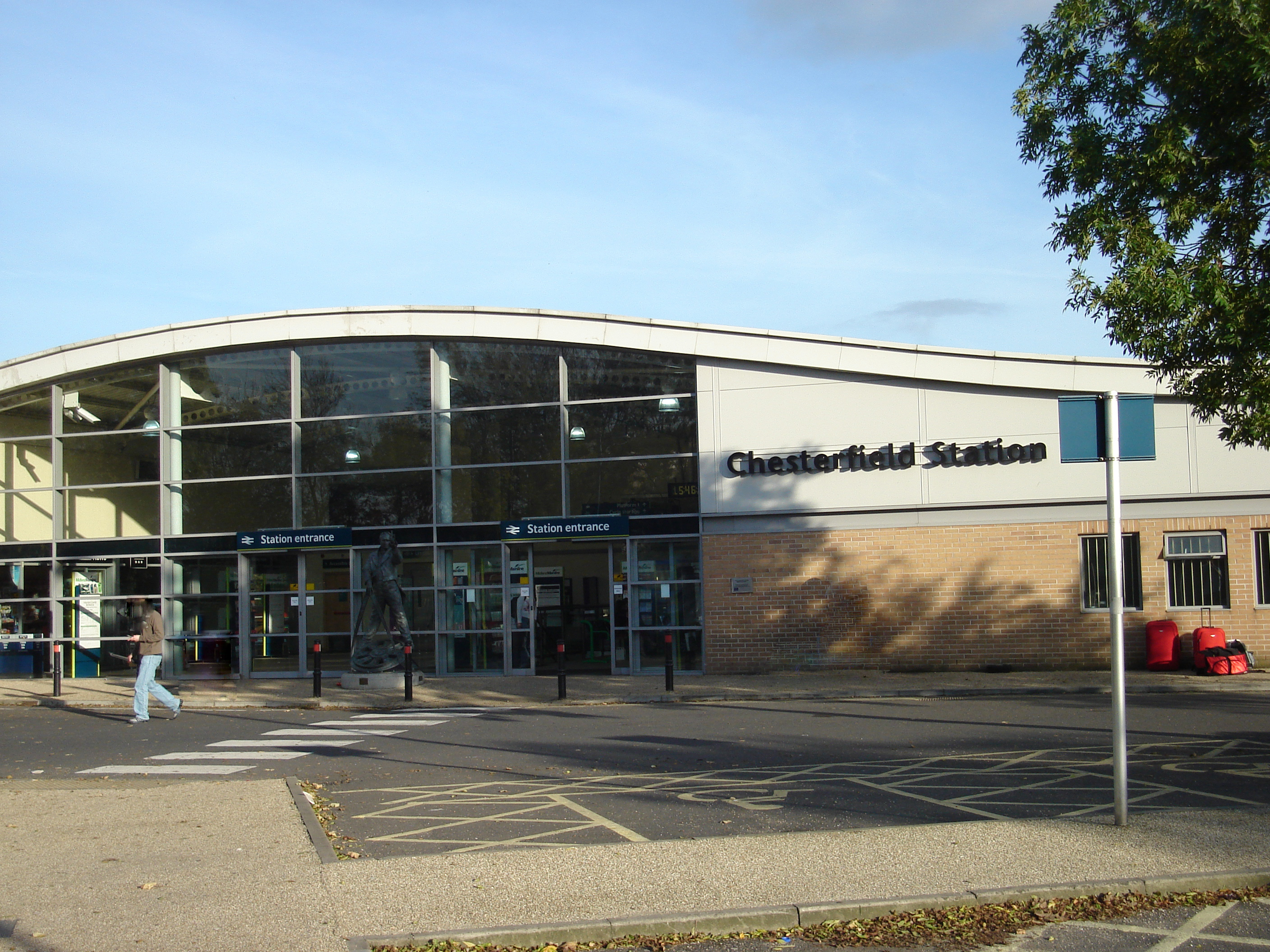
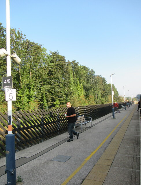
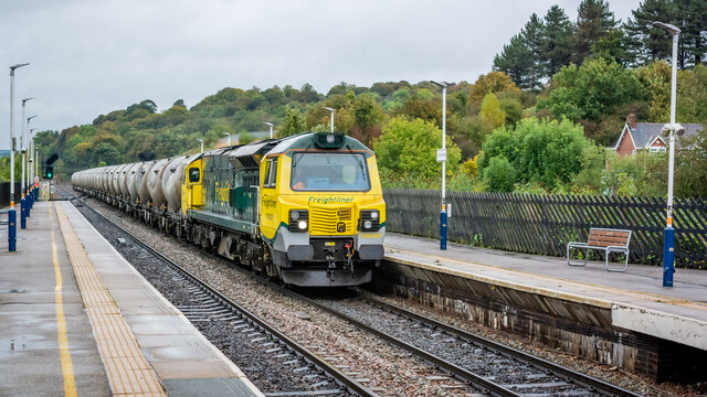
Chesterfield railway station
Chesterfield railway station serves the market town of Chesterfield in Derbyshire, England. It lies on the Midland Main Line. Four tracks pass through...
Nearby Amenities
Located within 500m of 53.233815,-1.405188Have you been to Hady?
Leave your review of Hady below (or comments, questions and feedback).