Spital
Settlement in Derbyshire Chesterfield
England
Spital
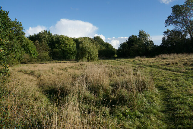
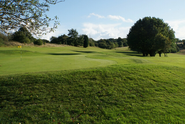
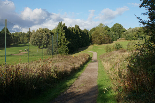
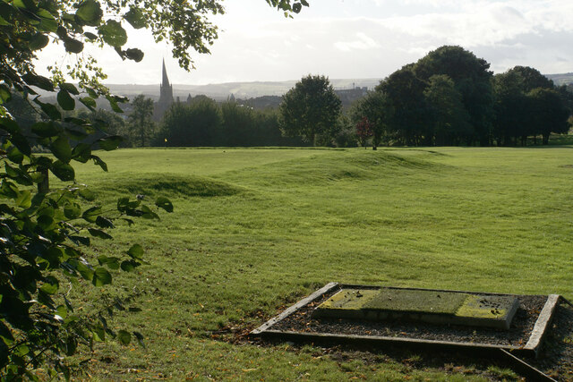
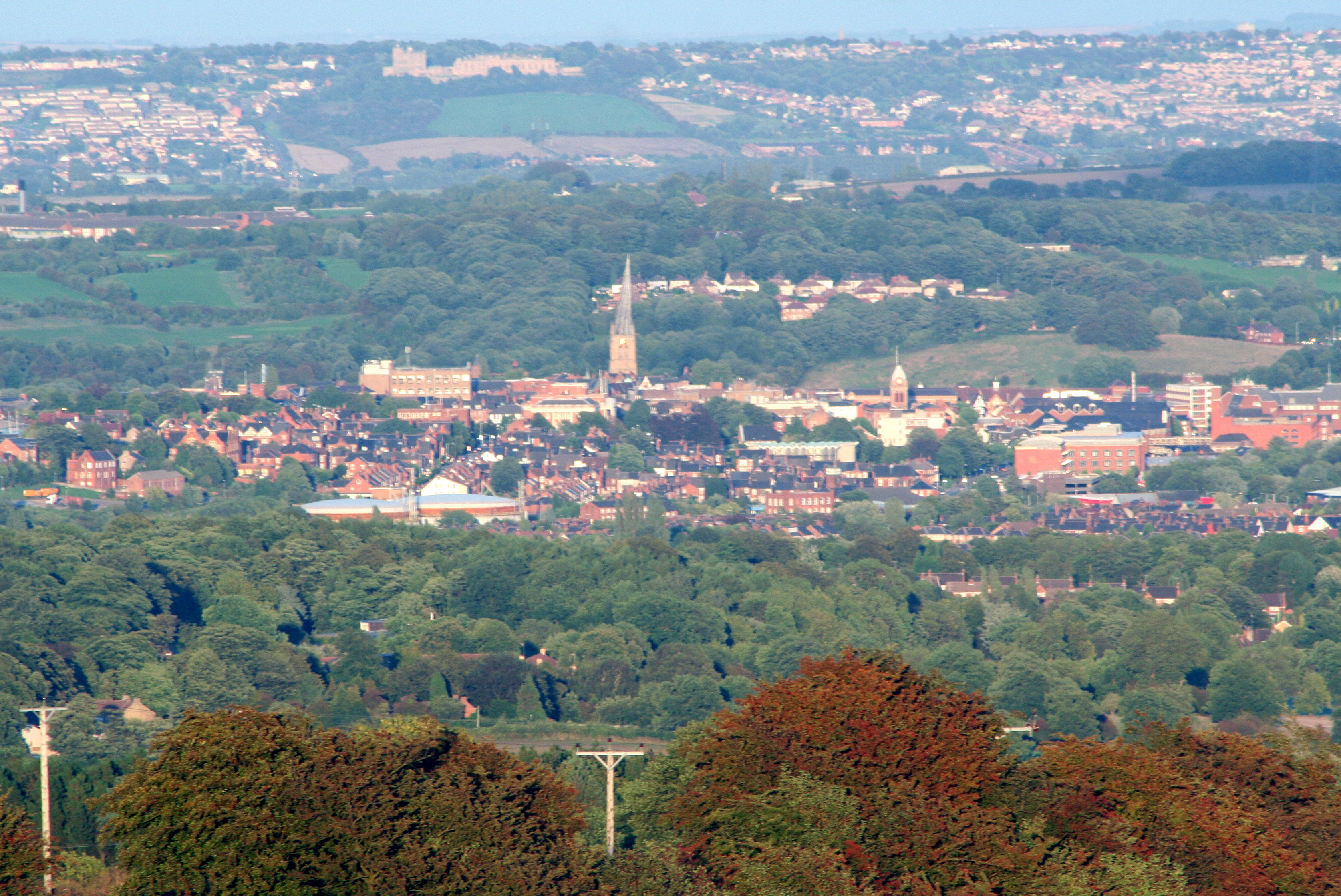
Spital is a small village located in the county of Derbyshire, in the East Midlands region of England. Situated just a few miles northeast of the town of Chesterfield, Spital is nestled in the picturesque countryside, offering residents and visitors a tranquil and scenic environment.
The village is renowned for its historical significance, with evidence of human settlement dating back to Roman times. The name "Spital" itself is derived from the Old English word "spital," meaning "hospital," suggesting the presence of a medieval hospital or religious house in the area.
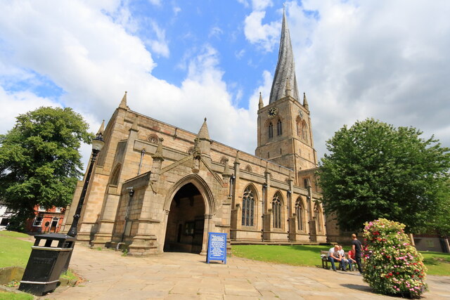
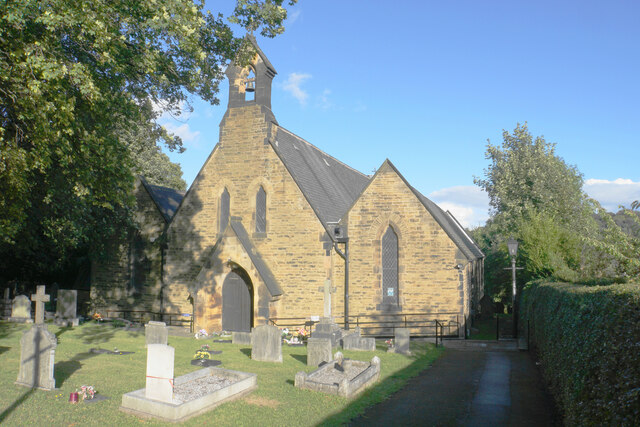
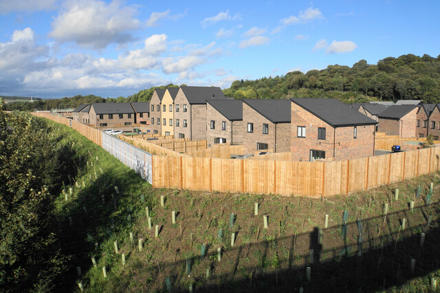
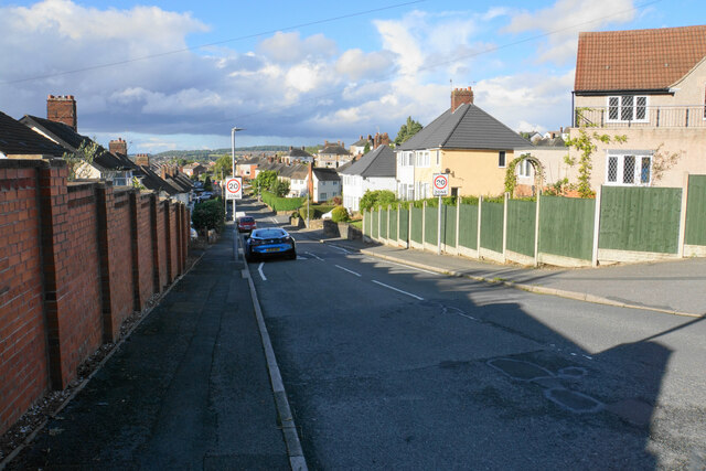
Today, Spital is a residential community with a population of around 1,000 people. It boasts a charming mix of traditional stone cottages and more modern houses, creating a harmonious blend of old and new. The village is also home to St. Leonard's Church, a Grade II listed building that dates back to the 12th century and is a prominent feature of the local landscape.
While primarily a residential area, Spital benefits from its close proximity to Chesterfield, which offers a wide range of amenities, including shopping centers, restaurants, and leisure facilities. Additionally, the village is well-connected to surrounding areas by road, with easy access to major transport routes such as the A617 and A61.
Overall, Spital offers a peaceful and idyllic setting for those seeking a rural lifestyle, while still being within reach of urban conveniences. Its rich history, stunning natural surroundings, and strong sense of community make it an attractive place to live or visit in Derbyshire.
If you have any feedback on the listing, please let us know in the comments section below.
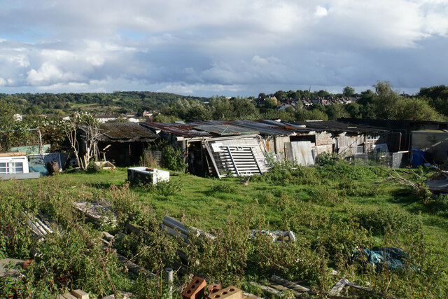
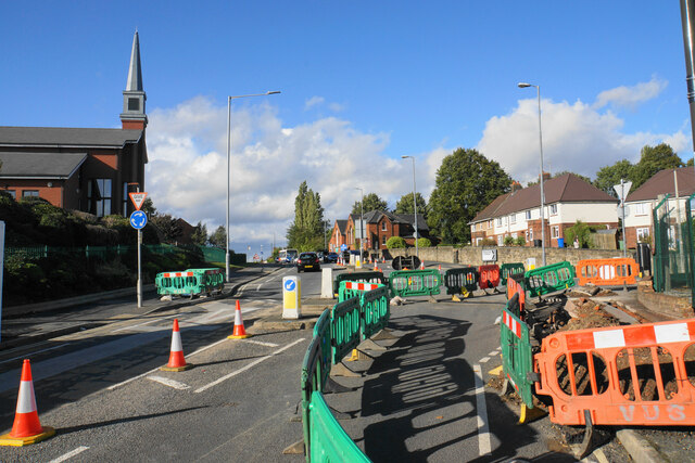
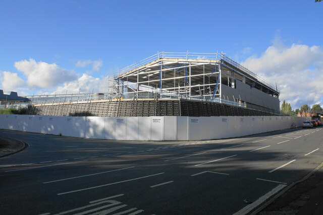
Spital Images
Images are sourced within 2km of 53.230903/-1.4148815 or Grid Reference SK3970. Thanks to Geograph Open Source API. All images are credited.


Spital is located at Grid Ref: SK3970 (Lat: 53.230903, Lng: -1.4148815)
Administrative County: Derbyshire
District: Chesterfield
Police Authority: Derbyshire
What 3 Words
///brings.crust.plans. Near Chesterfield, Derbyshire
Related Wikis

Edwin Swale
Wing Commander Edwin Swale (28 June 1899 – 19 July 1978) was an English First World War flying ace credited with 17 aerial victories. His victory list...
Borough of Chesterfield
The Borough of Chesterfield is a non-metropolitan district with borough status in Derbyshire, England. It is named after the town of Chesterfield, its...

Municipal Borough of Chesterfield
Chesterfield was a municipal borough in Derbyshire, England from 1835 to 1974. It was formed under the Municipal Corporations Act 1835 from the Ancient...
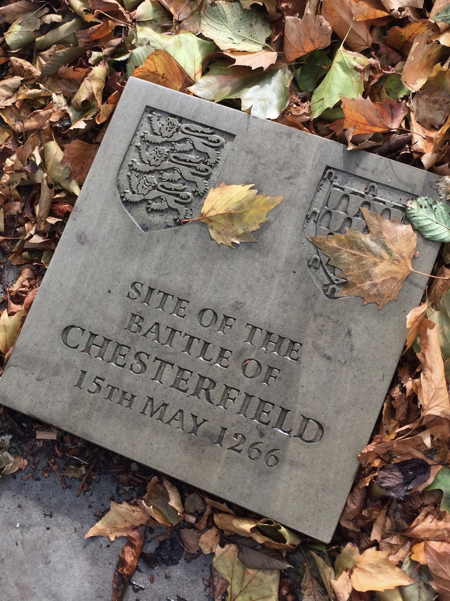
Battle of Chesterfield
The Battle of Chesterfield was a minor skirmish in the latter stages of 13th-century England's Second Barons' War. == Background == The battle was part...
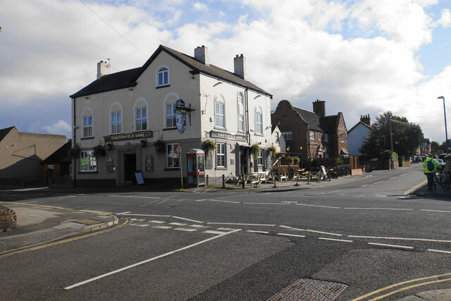
Nearby Amenities
Located within 500m of 53.230903,-1.4148815Have you been to Spital?
Leave your review of Spital below (or comments, questions and feedback).