Spindle Point
Settlement in Cheshire
England
Spindle Point

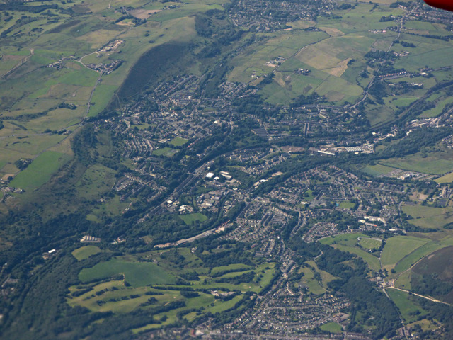
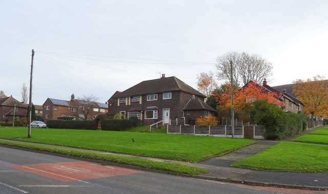
Spindle Point is a small but charming village located in the county of Cheshire, England. Situated on the outskirts of the market town of Knutsford, Spindle Point offers a peaceful and picturesque setting for its residents and visitors alike.
The village derives its name from an old spindle factory that was once a prominent feature of the area's history. Today, Spindle Point is known for its quaint cottages, well-tended gardens, and a strong sense of community. The architecture of the village is a mix of traditional English styles, with many buildings dating back to the 18th and 19th centuries.
Nature enthusiasts are drawn to Spindle Point for its close proximity to the beautiful Tatton Park, a vast estate that offers extensive gardens, woodlands, and a deer park. The park provides ample opportunities for outdoor activities such as walking, cycling, and picnicking.
Despite its small size, Spindle Point boasts a few amenities to cater to its residents' needs. The village has a local pub, The Spindle Inn, which serves as a social hub for villagers and a place for visitors to enjoy a pint of ale or a hearty meal. Additionally, a small grocery store and a post office can be found within the village, ensuring convenience for residents.
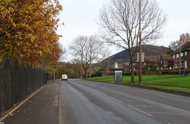
Transportation in Spindle Point is primarily reliant on private vehicles, although there are regular bus services connecting the village to nearby towns and cities. The village enjoys a tranquil atmosphere, making it an ideal place for those seeking a peaceful retreat without being too far from urban amenities.
If you have any feedback on the listing, please let us know in the comments section below.
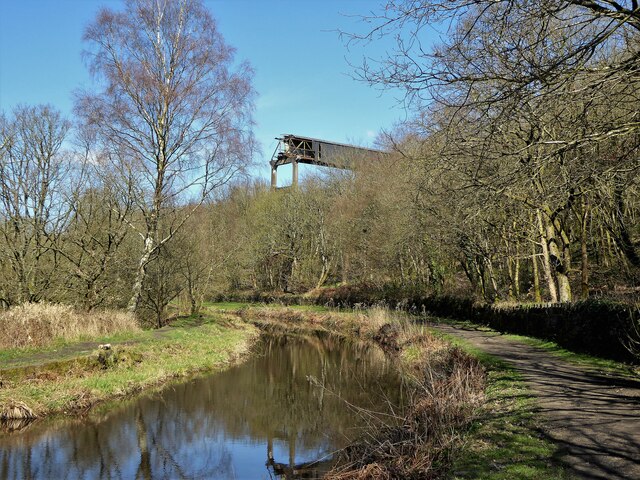
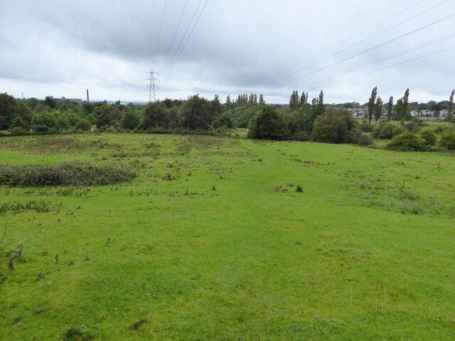
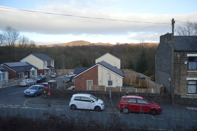
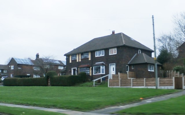
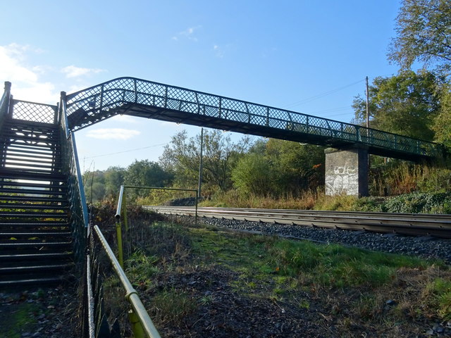
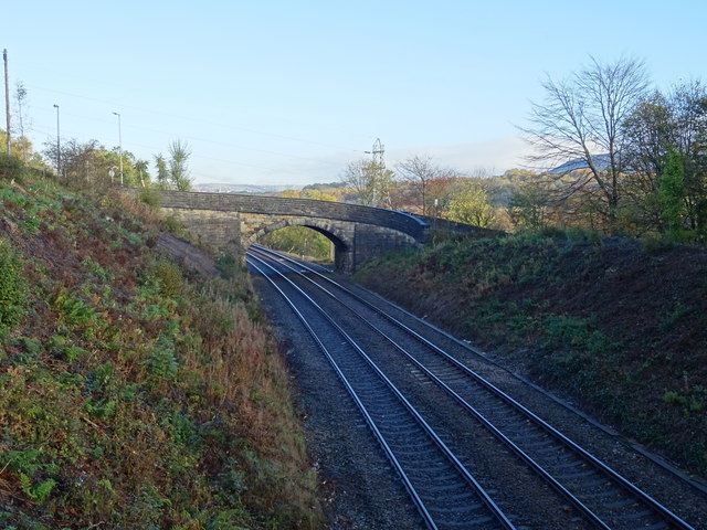
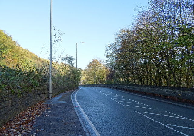
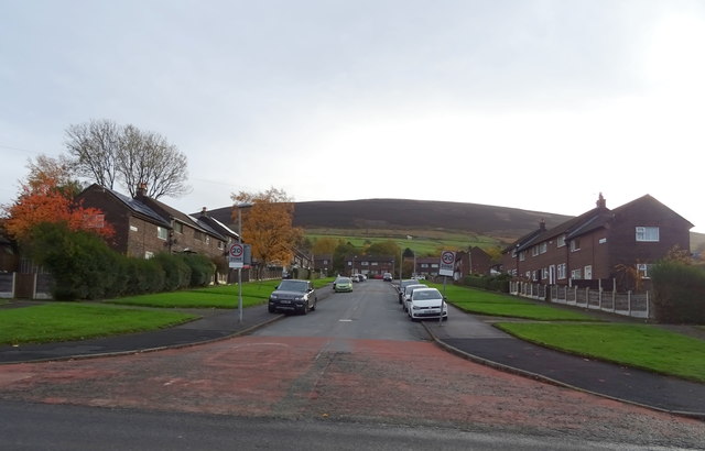
Spindle Point Images
Images are sourced within 2km of 53.488147/-2.0399445 or Grid Reference SJ9799. Thanks to Geograph Open Source API. All images are credited.


Spindle Point is located at Grid Ref: SJ9799 (Lat: 53.488147, Lng: -2.0399445)
Unitary Authority: Tameside
Police Authority: Greater Manchester
What 3 Words
///menswear.coughed.masts. Near Stalybridge, Manchester
Nearby Locations
Related Wikis

Copley, Greater Manchester
Copley is an area of the town of Stalybridge, at the foot of the Pennines, 8 miles (13 km) east of Manchester in Greater Manchester, England. The area...

Copley Academy
Copley Academy (formerly Copley High School) is a coeducational secondary school with academy status. It is located in the Copley area of Stalybridge in...

Stalybridge
Stalybridge () is a town in Tameside, Greater Manchester, England, with a population of 23,731 at the 2011 Census.Historically divided between Cheshire...
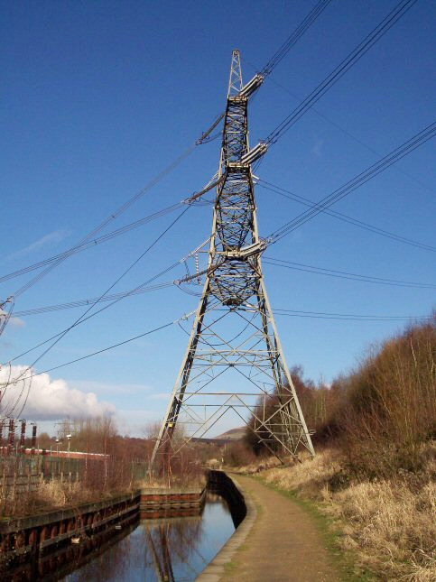
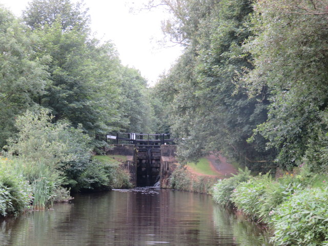
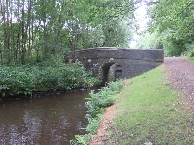
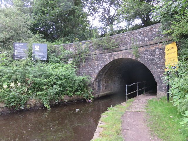
Huddersfield Narrow Canal Pylon
The Huddersfield Narrow Canal Pylon, (National Grid tower designation 4ZO251B), is an electricity pylon which stands with its feet over the Huddersfield...

Millbrook, Greater Manchester
Millbrook is a village near Stalybridge, northwest England. It is part of the Stalybridge South ward of Tameside metropolitan borough. It also played...

Stayley Hall
Stayley Hall, also known as Staley Hall, is a Grade II* Listed Building in Stalybridge, Greater Manchester. The structure dates back to at least the early...

Staley and Millbrook railway station
Staley and Millbrook railway station served the villages Staley and Millbrook in Stalybridge, Cheshire (later Tameside). The station was built by the London...

Stalybridge North (ward)
Stalybridge North is an electoral ward of Tameside, England. It is represented in Westminster by Jonathan Reynolds Labour Co-operative MP for Stalybridge...
Nearby Amenities
Located within 500m of 53.488147,-2.0399445Have you been to Spindle Point?
Leave your review of Spindle Point below (or comments, questions and feedback).