Far Souracre
Settlement in Cheshire
England
Far Souracre
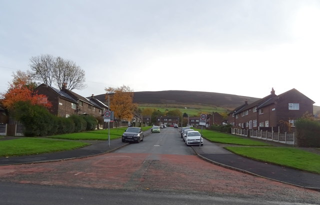
Far Souracre is a small village located in the county of Cheshire, England. Situated approximately 12 miles east of the city of Chester, it falls within the unitary authority of Cheshire West and Chester. The village is nestled in a rural landscape, surrounded by picturesque countryside and farmland.
With a population of around 500 residents, Far Souracre maintains a close-knit community atmosphere. The village is characterized by its traditional Cheshire brick cottages and historic buildings, which give it a charming and timeless appeal. Many of these buildings date back several centuries, adding to the village's historical significance.
Far Souracre is well-served by amenities, including a local pub, a village hall, and a primary school, which caters to the educational needs of the community. The village also benefits from excellent transport links, with easy access to major roads such as the A51 and the A534, making it convenient for commuters to travel to nearby towns and cities.
The surrounding countryside offers numerous opportunities for outdoor activities, with plenty of walking and cycling routes available for residents and visitors to explore. The village is also situated close to Delamere Forest, a popular destination for nature enthusiasts and families, offering a range of recreational activities.
In summary, Far Souracre is a charming and idyllic village in Cheshire, known for its historical buildings, tight-knit community, and beautiful rural surroundings.
If you have any feedback on the listing, please let us know in the comments section below.
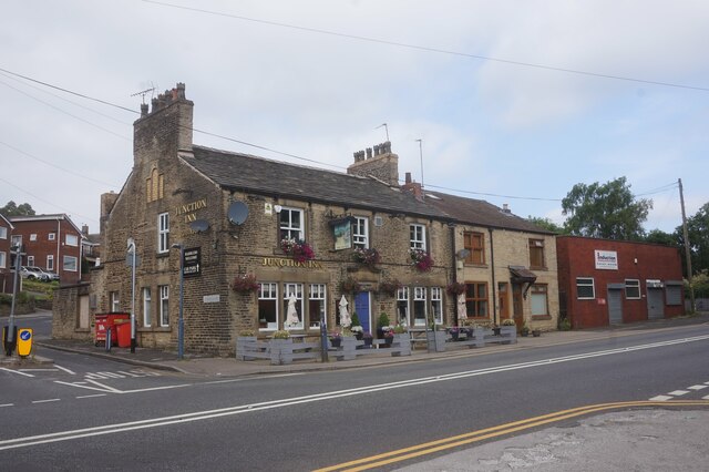
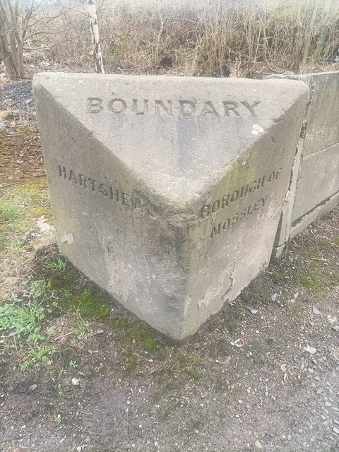
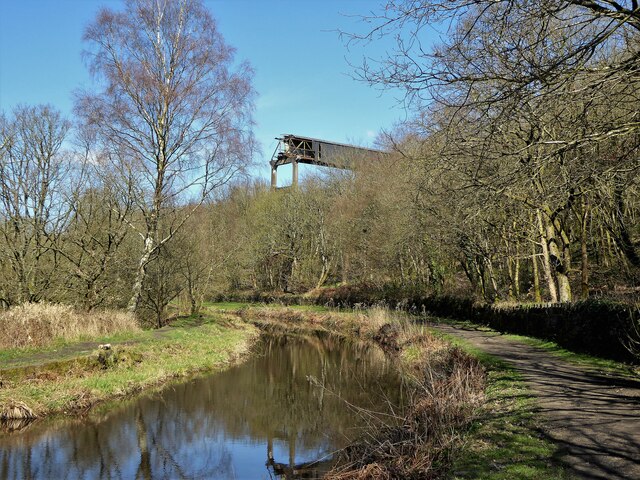
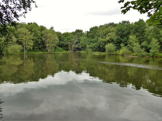
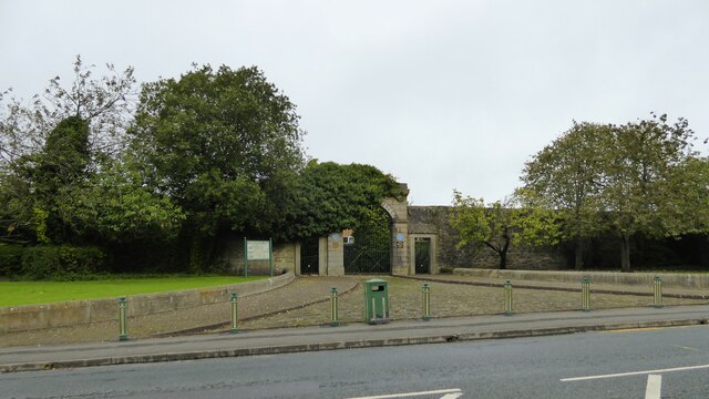
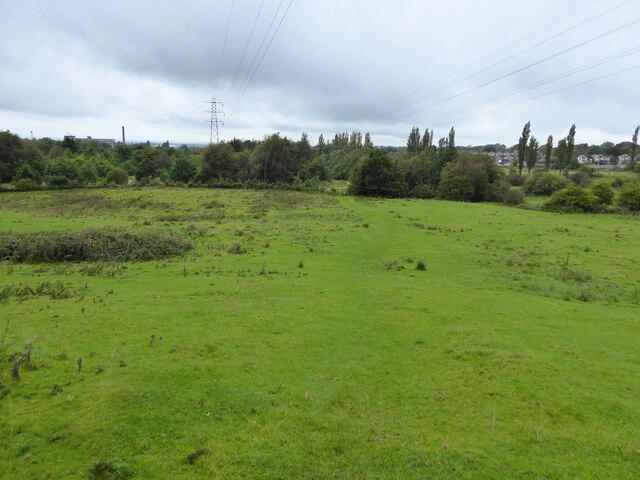
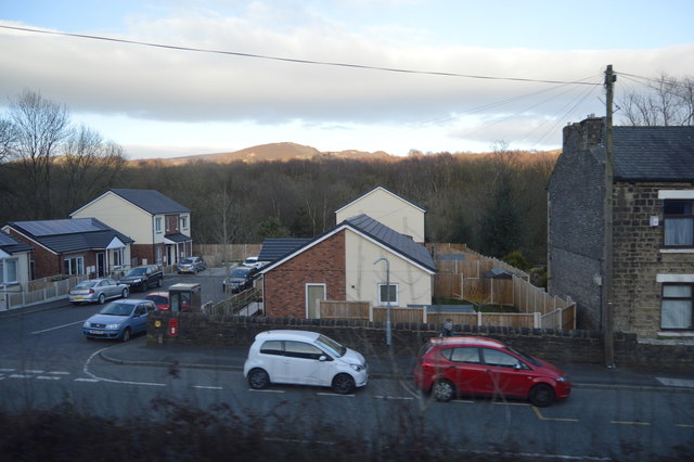
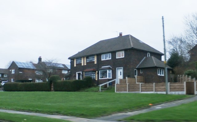
Far Souracre Images
Images are sourced within 2km of 53.489376/-2.0456125 or Grid Reference SJ9799. Thanks to Geograph Open Source API. All images are credited.

Far Souracre is located at Grid Ref: SJ9799 (Lat: 53.489376, Lng: -2.0456125)
Unitary Authority: Tameside
Police Authority: Greater Manchester
What 3 Words
///learn.line.cheer. Near Stalybridge, Manchester
Nearby Locations
Related Wikis

Copley, Greater Manchester
Copley is an area of the town of Stalybridge, at the foot of the Pennines, 8 miles (13 km) east of Manchester in Greater Manchester, England. The area...

Copley Academy
Copley Academy (formerly Copley High School) is a coeducational secondary school with academy status. It is located in the Copley area of Stalybridge in...
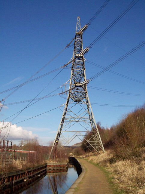
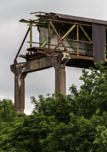
Huddersfield Narrow Canal Pylon
The Huddersfield Narrow Canal Pylon, (National Grid tower designation 4ZO251B), is an electricity pylon which stands with its feet over the Huddersfield...

Stayley Hall
Stayley Hall, also known as Staley Hall, is a Grade II* Listed Building in Stalybridge, Greater Manchester. The structure dates back to at least the early...

Stalybridge North (ward)
Stalybridge North is an electoral ward of Tameside, England. It is represented in Westminster by Jonathan Reynolds Labour Co-operative MP for Stalybridge...

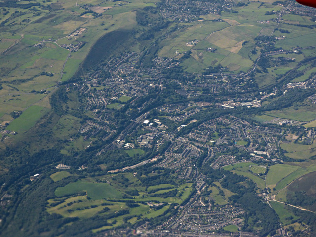
Stalybridge
Stalybridge () is a town in Tameside, Greater Manchester, England, with a population of 23,731 at the 2011 Census.Historically divided between Cheshire...

Staley and Millbrook railway station
Staley and Millbrook railway station served the villages Staley and Millbrook in Stalybridge, Cheshire (later Tameside). The station was built by the London...
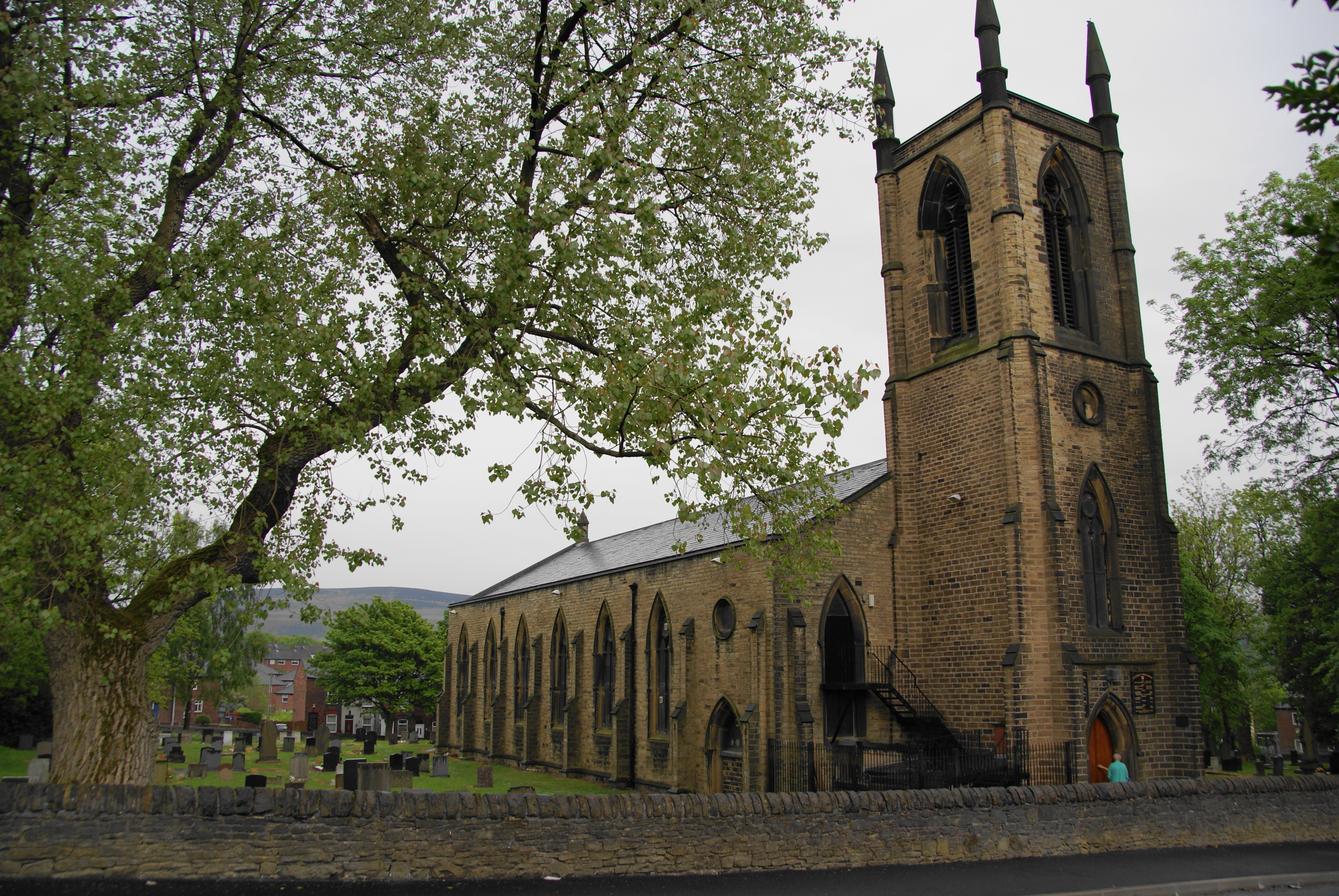
St George's Church, Stalybridge
St George's Church is in Church Walk, Stalybridge, Greater Manchester, England. It is an active Anglican parish church in the deanery of Ashton-under-Lyne...
Nearby Amenities
Located within 500m of 53.489376,-2.0456125Have you been to Far Souracre?
Leave your review of Far Souracre below (or comments, questions and feedback).