Spenmoss

Settlement in Cheshire

England

Spenmoss

Stile and footpath This path forms part of the Dane Valley Way. This picture shows the path leaving Sandy Lane near Congleton to run west. The finger post has the initials DVW which is the abbreviation used to mark the Dane Valley Way.
Stile and footpath Credit: Colin Park

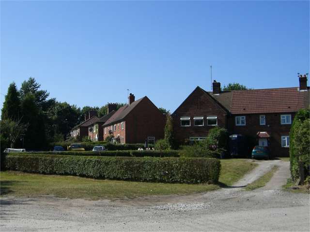
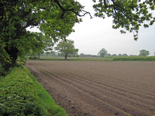
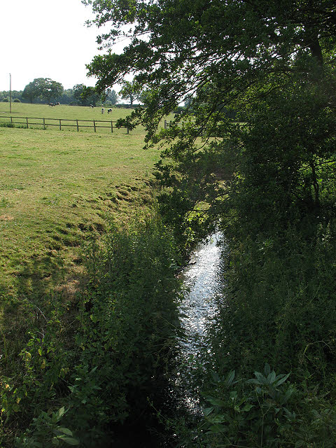
Spenmoss is a small village located in Cheshire, England. Situated approximately 6 miles east of the town of Northwich, it is part of the civil parish of Davenham and Moulton. The village is surrounded by picturesque countryside, with rolling fields and lush green landscapes.

Spenmoss is a close-knit community with a population of around 500 residents. The village is known for its peaceful and idyllic setting, making it a desirable place to live for those seeking a quiet and rural lifestyle. The village has a strong sense of community spirit, with various community events and gatherings throughout the year.

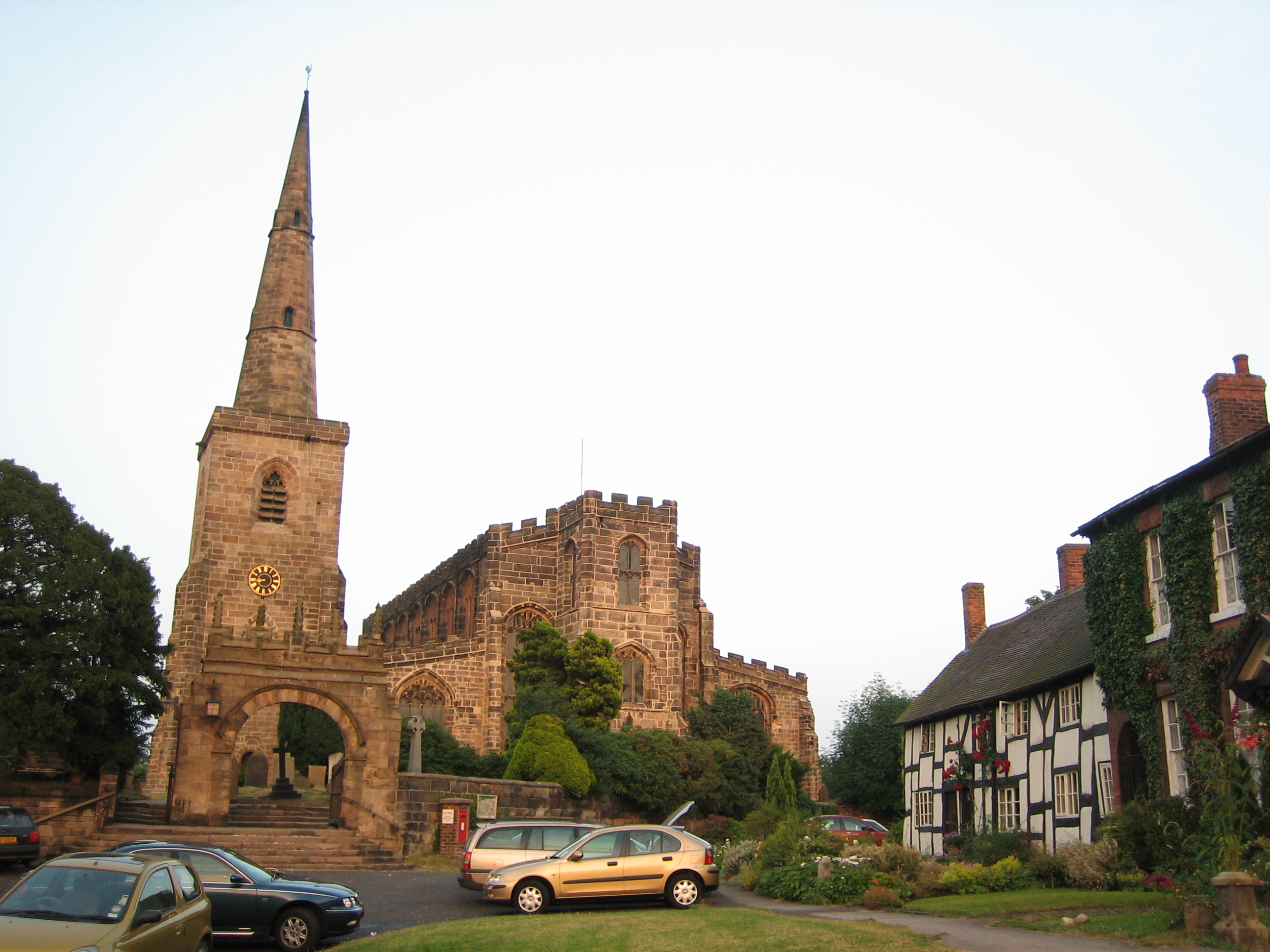
The village itself is characterized by its charming cottages and traditional architecture. The local pub, The Spenmoss Arms, is a popular meeting place for locals and visitors alike, offering a warm and friendly atmosphere.

Although small, Spenmoss benefits from its proximity to larger towns and cities. Northwich, with its range of shops, amenities, and leisure facilities, is easily accessible by car or public transport. The nearby Cheshire countryside also offers plenty of opportunities for outdoor activities such as walking, cycling, and horse riding.

In summary, Spenmoss is a quaint and picturesque village in Cheshire, offering a peaceful and rural lifestyle. With its strong community spirit and beautiful surroundings, it is a hidden gem for those seeking a tranquil place to call home.

If you have any feedback on the listing, please let us know in the comments section below.

Spenmoss Images

Images are sourced within 2km of 53.147025/-2.2693062 or Grid Reference SJ8261. Thanks to Geograph Open Source API. All images are credited.

Stile and footpath This path forms part of the Dane Valley Way. This picture shows the path leaving Sandy Lane near Congleton to run west. The finger post has the initials DVW which is the abbreviation used to mark the Dane Valley Way.
Stile and footpath
This path forms part of the Dane Valley Way. This picture shows the path leaving Sandy Lane near Congleton to run west. The finger post has the initials DVW which is the abbreviation used to mark the Dane Valley Way.
Lower Medhurst Green Farm On the Dane Valley Way looking west towards Lower Medhurst Green Farm.
Lower Medhurst Green Farm
On the Dane Valley Way looking west towards Lower Medhurst Green Farm.
St John the Baptist, Smallwood
Moreton Fisheries, Main Lake
Brownlow Heath Brownlow Heath is a small hamlet just west of the main A34 road in the delightfully named parish of Moreton cum Alcumlow.
Brownlow Heath
Brownlow Heath is a small hamlet just west of the main A34 road in the delightfully named parish of Moreton cum Alcumlow.
South Lake Moreton Fisheries run private fishing on 3 lakes, 2 to the north of New Road and this one to the south of the road.
South Lake
Moreton Fisheries run private fishing on 3 lakes, 2 to the north of New Road and this one to the south of the road.
The Brownlow Inn This was formerly two cottages from the 18th century.
The Brownlow Inn
This was formerly two cottages from the 18th century.
Sandpit
Sandpit
Quarry buildings processing sand from sandpit on sj8362.
Quarry buildings
processing sand from sandpit on sj8362.
Byway at Spen Green Marked as a Byway Open to All Traffic this track runs south from Pools Lane, Spen Green. Mainly used to get the cows in from the fields it gets very muddy.
Byway at Spen Green
Marked as a Byway Open to All Traffic this track runs south from Pools Lane, Spen Green. Mainly used to get the cows in from the fields it gets very muddy.
Fishing pond at Dayhouse Green Farm
Deers Green Farm
Deers Green Farm
Houses on Bankhouse Lane View across pasture land from the edge of Spen Green to the houses on Bankhouse Lane
Houses on Bankhouse Lane
View across pasture land from the edge of Spen Green to the houses on Bankhouse Lane
Brookhouse Green Methodist Church
path at Brookhouse Moss From Moss End Lane, this path continues along the left edge of the wood ahead, coming out near Brookhouse Green.
path at Brookhouse Moss
From Moss End Lane, this path continues along the left edge of the wood ahead, coming out near Brookhouse Green.
Goldeyslack Lane This green lane, rather overgrown at its far end, may soon become a public bridleway.
Goldeyslack Lane
This green lane, rather overgrown at its far end, may soon become a public bridleway.
track with birches - and rabbit The fresh spring greenness of a farm track.  There are lots of rabbits around here - and the odd pheasant.
track with birches - and rabbit
The fresh spring greenness of a farm track. There are lots of rabbits around here - and the odd pheasant.
Neat rows near Charity Farm Charity Farm is in the distance beyond this immaculate farmland, close to an active sand quarry.
Neat rows near Charity Farm
Charity Farm is in the distance beyond this immaculate farmland, close to an active sand quarry.
Show me another place!

Spenmoss is located at Grid Ref: SJ8261 (Lat: 53.147025, Lng: -2.2693062)

Unitary Authority: Cheshire East

Police Authority: Cheshire

What 3 Words

///available.present.forgotten. Near Rode Heath, Cheshire

Nearby Locations

Spenmoss

Related Wikis

Congleton (UK Parliament constituency)

Congleton is a parliamentary constituency in Cheshire, represented in the House of Commons of the UK Parliament since 2010 by Fiona Bruce of the Conservative...

River Croco

The River Croco () is a small river in Cheshire in England. It starts as lowland field drainage west of Congleton, flows along the south edge of Holmes...

Smallwood, Cheshire

Smallwood is a civil parish and small village in the unitary authority of Cheshire East and the ceremonial county of Cheshire, England. The village is...

Medhurst Green

Medhurst Green is a hamlet in Cheshire, England that forms part of the civil parish of Brereton. It consists mainly of two farms, Upper and Lower Medhurst...

St John the Baptist's Church, Smallwood

St John the Baptist's Church is in Church Lane, Smallwood, Cheshire, England. It is an active Anglican parish church in the deanery of Congleton, the...

Congleton (borough)

Congleton was, from 1974 to 2009, a local government district with borough status in Cheshire, England. It included the towns of Congleton, Alsager, Middlewich...

Somerford, Cheshire

Somerford is a civil parish in the unitary authority of Cheshire East and the ceremonial county of Cheshire, England. It is adjacent to the north west...

Newbold Astbury

Newbold Astbury (often just Astbury) is a village and civil parish in the unitary authority of Cheshire East and the ceremonial county of Cheshire, in...

Nearby Amenities

Located within 500m of 53.147025,-2.2693062
Post Box
Collection Times: Mo-Fr 16:00, Sa 11:45
Postal Code: CW11
Ref: CW11 125
Royal Cypher: EIIR
Royal Cypher Wikidata: Q33102113
Lat/Long: 53.1427663/-2.2706177
Bus Stop
Spen Green, Congleton Road / Blue Bell Inn
Bus: yes
Naptan AtcoCode: 0600CO1946
Naptan Bearing: NE
Naptan BusStopType: CUS
Naptan CommonName: Blue Bell Inn
Naptan Crossing: Bell Lane
Naptan Indicator: o/s
Naptan Landmark: Blue Bell Inn
Naptan LocalityName: Spen Green
Naptan NaptanCode: chewjgd
Naptan ShortCommonName: Blue Bell Inn
Naptan Street: Congleton Road
Naptan Verified: no
Network: Cheshire East Council
Operator: Ansa Transport
Public Transport: platform
Source: naptan_import
Lat/Long: 53.143071/-2.269326
Barrier: stile
Lat/Long: 53.1471524/-2.2653141
Barrier: stile
Lat/Long: 53.1489222/-2.270505
Barrier: kissing_gate
Lat/Long: 53.1476377/-2.2692972
Barrier: kissing_gate
Lat/Long: 53.1482242/-2.2698365
Barrier: kissing_gate
Lat/Long: 53.1473507/-2.2692729
Spen Green
Place: hamlet
Lat/Long: 53.1428501/-2.2698598
Bus Stop
Spen Green, Congleton Road / Blue Bell Inn
Bus: yes
Naptan AtcoCode: 0600CO19077
Naptan Bearing: SW
Naptan BusStopType: CUS
Naptan CommonName: Blue Bell Inn
Naptan Crossing: Blue Bell
Naptan Indicator: opp
Naptan Landmark: Blue Bell Inn
Naptan LocalityName: Spen Green
Naptan NaptanCode: chewptp
Naptan ShortCommonName: Blue Bell Inn
Naptan Street: Congleton Road
Network: Cheshire East Council
Operator: Ansa Transport
Public Transport: platform
Source: naptan_import
Lat/Long: 53.1429303/-2.2693062
Defibrillator
Emergency: defibrillator
Lat/Long: 53.1432885/-2.2697515
The data included in this document is from www.openstreetmap.org. The data is made available under ODbL.

Have you been to Spenmoss?

Leave your review of Spenmoss below (or comments, questions and feedback).