Ash Coppice
Wood, Forest in Worcestershire Wychavon
England
Ash Coppice
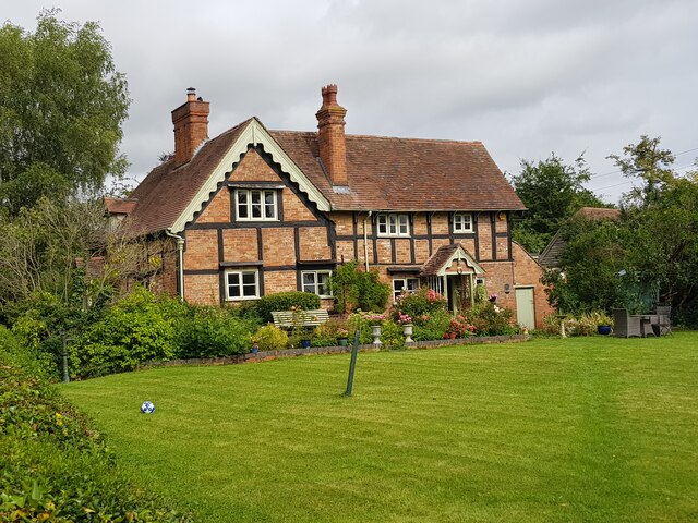
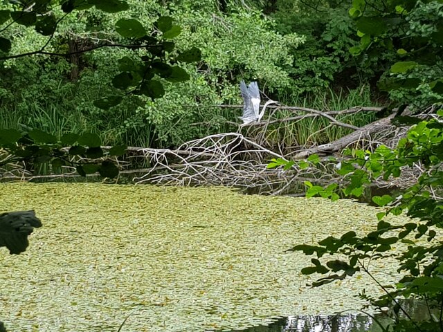
Ash Coppice is a woodland area located in Worcestershire, England. Covering an area of approximately 200 acres, it is situated in close proximity to the town of Kidderminster. The coppice is predominantly composed of ash trees, hence its name, and is known for its diverse range of flora and fauna.
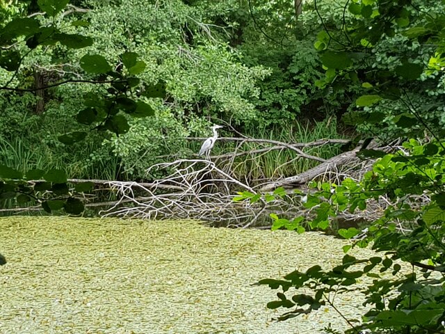
The woodland is characterized by its lush greenery and dense canopy, providing a serene and picturesque setting for visitors. It offers a variety of walking trails and paths, allowing nature enthusiasts to explore its beauty at their own pace. The area is also home to a number of bird species, making it a popular spot for birdwatching.
Ash Coppice boasts a rich history, dating back several centuries. It was originally managed as a coppice woodland, where trees were regularly cut down and regrown to produce timber for various purposes. Although the traditional practice of coppicing is no longer carried out, the remnants of this historical management technique can still be observed in the form of stumps and regrowth.
The woodland is open to the public throughout the year, attracting both locals and tourists alike. It provides an excellent opportunity for individuals to immerse themselves in nature and enjoy the tranquility of the surroundings. In addition, the management of Ash Coppice is focused on conservation and preservation, ensuring the long-term sustainability of this natural habitat.
If you have any feedback on the listing, please let us know in the comments section below.
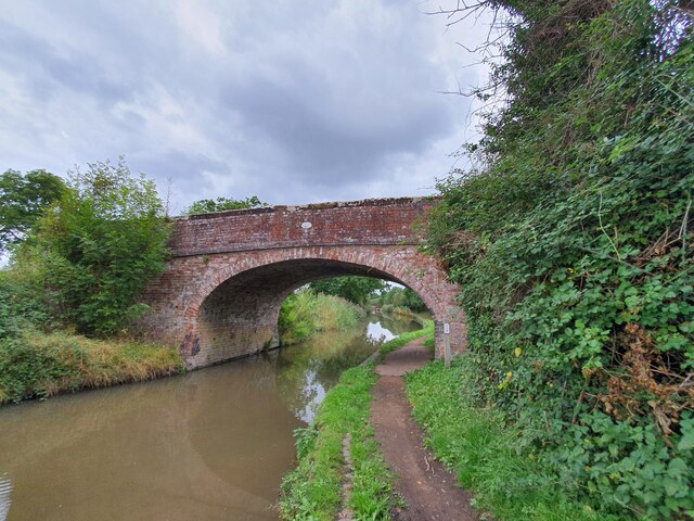
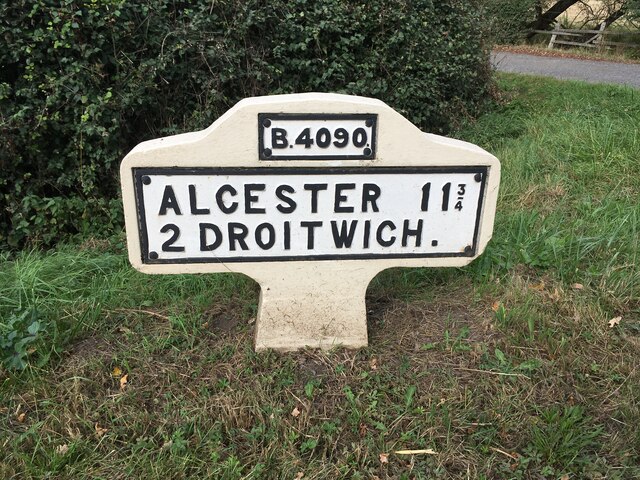
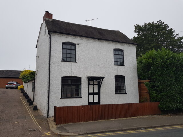
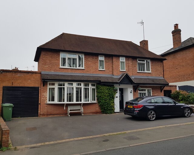
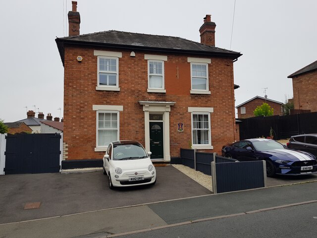
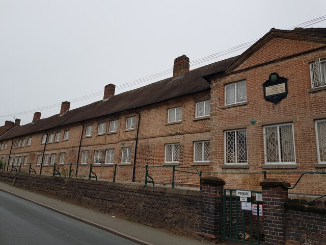
Ash Coppice Images
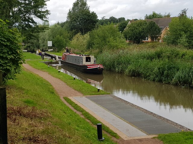
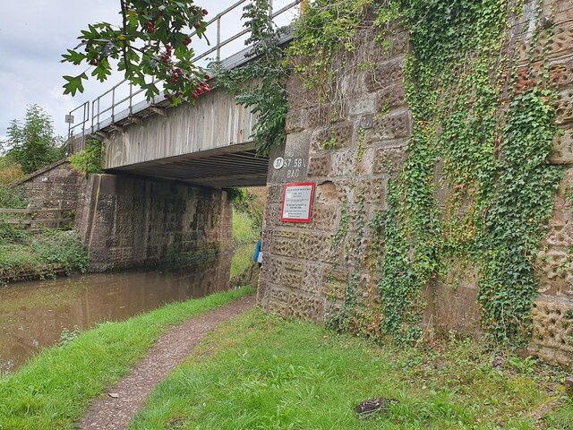
Images are sourced within 2km of 52.259802/-2.1222329 or Grid Reference SO9162. Thanks to Geograph Open Source API. All images are credited.
Ash Coppice is located at Grid Ref: SO9162 (Lat: 52.259802, Lng: -2.1222329)
Administrative County: Worcestershire
District: Wychavon
Police Authority: West Mercia
What 3 Words
///clays.escapes.accented. Near Droitwich, Worcestershire
Nearby Locations
Related Wikis

Hadzor
Hadzor is a small village near Droitwich, Worcestershire, England. There are around fourteen houses and a Roman Catholic church in the village, although...

Droitwich Road railway station
Droitwich Road railway station served the town of Droitwich Spa, Worcestershire, England, from 1840 to 1855 on the Birmingham and Gloucester Railway....
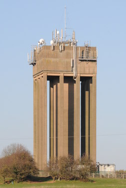
Droitwich Water Tower
The Droitwich Water Tower, also known as Yew Tree Hill Water Tower, is a structure on Yew Tree Hill in Droitwich, England, owned and operated by Severn...

Droitwich Spa Lido
The Droitwich Spa Lido is a lido in Droitwich Spa, Worcestershire, England. It is one of the few remaining inland, open-air salt-water swimming pools...

Chateau Impney
Chateau Impney Hotel & Exhibition Centre is a Grade II* listed 19th-century house built in the style of an elaborate French château near Droitwich Spa...

Old Town Hall, Droitwich Spa
The Old Town Hall is a municipal building in St Andrews Street, Droitwich Spa, Worcestershire, England. The structure, which was the headquarters of Droitwich...
RGS Dodderhill
RGS Dodderhill is a private school on the outskirts of Droitwich Spa, Worcestershire, England. Girls & Boys are educated from 2–11 years of age - most...

Droitwich Spa
Droitwich Spa (often abbreviated to Droitwich ) is a historic spa town in the Wychavon district in northern Worcestershire, England, on the River Salwarpe...
Nearby Amenities
Located within 500m of 52.259802,-2.1222329Have you been to Ash Coppice?
Leave your review of Ash Coppice below (or comments, questions and feedback).