Yarlet Wood

Wood, Forest in Staffordshire Stafford

England

Yarlet Wood

Feeder Trough and Cattle off Enson Lane
Feeder Trough and Cattle off Enson Lane Credit: Mick Malpass

The requested URL returned error: 429 Too Many Requests

If you have any feedback on the listing, please let us know in the comments section below.
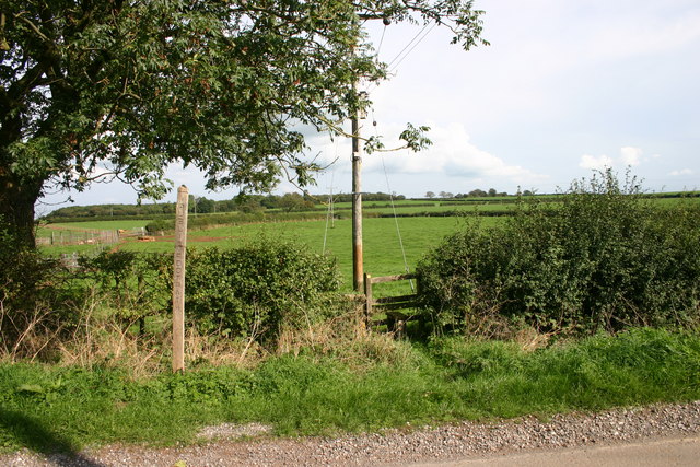
Yarlet Wood Images

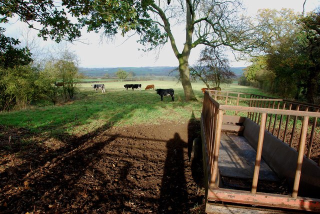
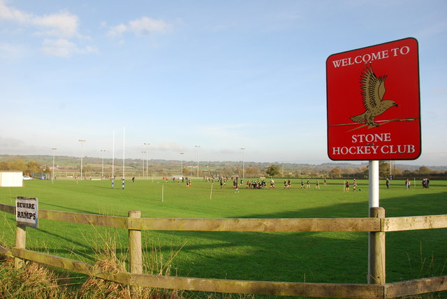
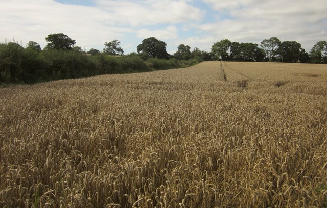
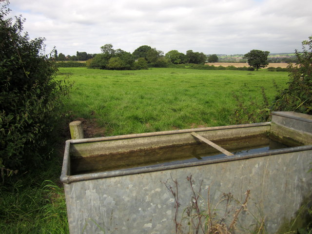
Images are sourced within 2km of 52.856567/-2.1301291 or Grid Reference SJ9128. Thanks to Geograph Open Source API. All images are credited.

Feeder Trough and Cattle off Enson Lane
The Stone Hockey Club Rugby is being played on the near half of the field, with hockey being played in the netted area lower down. I met a young cyclist in Enson lane,who belonged to this club, he asked me to put this club on this site if I was going past. He had not heard of Geograph before, but was very impressed with the concept.
The Stone Hockey Club
Rugby is being played on the near half of the field, with hockey being played in the netted area lower down. I met a young cyclist in Enson lane,who belonged to this club, he asked me to put this club on this site if I was going past. He had not heard of Geograph before, but was very impressed with the concept.
Wheat near Astonhill Farm Stone Rural footpath 28 follows the eastern edge of the same wheat field whose northern edge is followed by footpath 29 - see <a href="https://www.geograph.org.uk/photo/3140514">SJ9130 : Following Stone Rural footpath 29</a>]. This path is easier.
Wheat near Astonhill Farm
Stone Rural footpath 28 follows the eastern edge of the same wheat field whose northern edge is followed by footpath 29 - see SJ9130 : Following Stone Rural footpath 29]. This path is easier.
Wheat near Astonhill Farm In the southern corner of the field shown in <a href="https://www.geograph.org.uk/photo/3141081">SJ9130 : Wheat near Astonhill Farm</a>.
Wheat near Astonhill Farm
In the southern corner of the field shown in SJ9130 : Wheat near Astonhill Farm.
Pasture near Astonhill Farm The clump of trees surrounds a pond. In the foreground, a drinking trough serves adjacent fields. View from Stone Rural footpath 28.
Pasture near Astonhill Farm
The clump of trees surrounds a pond. In the foreground, a drinking trough serves adjacent fields. View from Stone Rural footpath 28.
Cattle pasture near Pirehill Cottage Farm The next field up the hill on Stone Rural footpath 28 to <a href="https://www.geograph.org.uk/photo/3141127">SJ9030 : Pasture near Astonhill Farm</a>.
Cattle pasture near Pirehill Cottage Farm
The next field up the hill on Stone Rural footpath 28 to SJ9030 : Pasture near Astonhill Farm.
Pond near Newhouse farm One of many ponds in the area, usually surrounded by trees. Passed by Stone Rural footpath 28. The view is over the Trent valley.
Pond near Newhouse farm
One of many ponds in the area, usually surrounded by trees. Passed by Stone Rural footpath 28. The view is over the Trent valley.
Stone Road View The view up the A34 towards Stone.
Stone Road View
The view up the A34 towards Stone.
Lay-by on the A34 looking north
Wood Farm on the A34
Public Footpath stile, Green Lane, Whitgreave This public footpath leads over several fields to eventually come out on the A34 at Yarlet, near Stafford
Public Footpath stile, Green Lane, Whitgreave
This public footpath leads over several fields to eventually come out on the A34 at Yarlet, near Stafford
St Johns Church, Whitgreave St John's Church in Whitgreave near Stafford.  The church doesn't look particularly old to me (I don't know any of its history) but in the graveyard there are some very old gravestones, one I recall dating 1833.
St Johns Church, Whitgreave
St John's Church in Whitgreave near Stafford. The church doesn't look particularly old to me (I don't know any of its history) but in the graveyard there are some very old gravestones, one I recall dating 1833.
Whitgreave near Stafford Looking westwards down the hill into whitgreave, on the right (out of view) is St Johns Church.
Whitgreave near Stafford
Looking westwards down the hill into whitgreave, on the right (out of view) is St Johns Church.
St. John the Evangelist church, Whitgreave This little brick church built in 1844 is now a 'chapel of ease' within the Stafford Team Ministry and only holds occasional services.
St. John the Evangelist church, Whitgreave
This little brick church built in 1844 is now a 'chapel of ease' within the Stafford Team Ministry and only holds occasional services.
Green Lane Farm This is mapped as "No 23 Holding" but the sign on the wall says "Green Lane Farm" which sounds more bucolic.
Green Lane Farm
This is mapped as "No 23 Holding" but the sign on the wall says "Green Lane Farm" which sounds more bucolic.
Farmhouse, Green Lane Seen from Whitgreave footpath 3 where it leaves Green Lane.
Farmhouse, Green Lane
Seen from Whitgreave footpath 3 where it leaves Green Lane.
Green Lane Together with Pirehill Lane, this forms a long ridge lane between Stone and Whitgreave, the central sections behind byway and bridleway. Here, the lane dips to cross a minor tributary of the Sow before climbing to Meadow Farm.
Green Lane
Together with Pirehill Lane, this forms a long ridge lane between Stone and Whitgreave, the central sections behind byway and bridleway. Here, the lane dips to cross a minor tributary of the Sow before climbing to Meadow Farm.
Fields by Green Lane A view from Green Lane down the shallow valley of a tributary of the River Sow. Hidden from sight somewhere in the view is the M6.
Fields by Green Lane
A view from Green Lane down the shallow valley of a tributary of the River Sow. Hidden from sight somewhere in the view is the M6.
Show me another place!

Yarlet Wood is located at Grid Ref: SJ9128 (Lat: 52.856567, Lng: -2.1301291)

Administrative County: Staffordshire

District: Stafford

Police Authority: Staffordshire

What 3 Words

///defenders.laser.fractions. Near Stone, Staffordshire

Nearby Locations

Yarlet Wood Yarlet

Related Wikis

Yarlet School

Yarlet School, formerly Yarlet Hall, is a coeducational preparatory school located in the district of Yarlet, 3 miles (4.8 km) north of the county town...

Marston, Milwich

Marston is a village and civil parish 12 miles (19 km) south of Stoke-on-Trent, in the Stafford district, in the county of Staffordshire, England. In 2011...

Whitgreave

Whitgreave is a very small village a few miles to the NNW of Stafford situated midway between the M6 motorway to the west and the A34 trunk road to the...

Aston-By-Stone

Aston-By-Stone is a village and civil parish in the Borough of Stafford in Staffordshire, England. It is close to the town of Stone and city of Stoke-on...

Nearby Amenities

Located within 500m of 52.856567,-2.1301291
Speed Camera
Enforcement: maxspeed
Maxspeed: 60 mph
Note: Set maxspeed= 60 mph needs confirmation
Lat/Long: 52.8554821/-2.1339091
Bus Stop
The Greyhound Inn PH
Bus: yes
Naptan AtcoCode: 3800C739601
Naptan Bearing: N
Naptan CommonName: The Greyhound Inn PH
Naptan Indicator: Opp
Naptan Landmark: The Greyhound Inn PH
Naptan Street: Stone Rd
Naptan Verified: no
Public Transport: platform
Source: naptan_import
Lat/Long: 52.8560897/-2.1338144
Bus Stop
The Greyhound Inn PH
Bus: yes
Naptan AtcoCode: 3800C739602
Naptan Bearing: S
Naptan CommonName: The Greyhound Inn PH
Naptan Indicator: Adj
Naptan Landmark: The Greyhound Inn PH
Naptan Street: Stone Rd
Naptan Verified: no
Public Transport: platform
Source: naptan_import
Lat/Long: 52.8553113/-2.1336916
Post Box
Brand: Royal Mail
Brand Wikidata: Q638098
Operator: Royal Mail
Operator Wikidata: Q638098
Post Box Mounting: concrete_post
Post Box Type: lamp
Lat/Long: 52.8558898/-2.1334797
Parking
Lat/Long: 52.8566158/-2.1336733
Power: pole
Lat/Long: 52.8586223/-2.1323842
Power: pole
Lat/Long: 52.8582615/-2.1324808
Power: pole
Lat/Long: 52.8594262/-2.1320701
Power: pole
Lat/Long: 52.8568586/-2.1329007
Power: pole
Lat/Long: 52.8578782/-2.1326287
Power: pole
Lat/Long: 52.8598841/-2.1333988
Power: pole
Lat/Long: 52.8571705/-2.1328081
Power: pole
Lat/Long: 52.8591713/-2.1321944
Power: pole
Lat/Long: 52.8597056/-2.1319754
Power: pole
Lat/Long: 52.8536076/-2.133691
Power: pole
Lat/Long: 52.8532624/-2.1338048
Power: pole
Lat/Long: 52.8529403/-2.1339424
Power: pole
Lat/Long: 52.8559322/-2.1340435
Power: pole
Lat/Long: 52.8571912/-2.136525
Power: pole
Lat/Long: 52.8563058/-2.1366744
Power: pole
Lat/Long: 52.8561168/-2.1353341
Yarlet
Place: hamlet
Lat/Long: 52.8579373/-2.1331576
Power: pole
Lat/Long: 52.8584864/-2.1336962
Power: pole
Lat/Long: 52.8588138/-2.1335637
Power: pole
Lat/Long: 52.8583253/-2.1352533
Power: pole
Lat/Long: 52.8588704/-2.1364703
Addr Housename: Yarlet Hall Lodge
Addr Street: Stone Road
Lat/Long: 52.8601379/-2.1319518
Addr Housename: Yarlet Hall Farmhouse
Lat/Long: 52.8607808/-2.1290228
Addr Housename: Yarlet House
Lat/Long: 52.8606157/-2.1306161
Power: pole
Lat/Long: 52.859132/-2.1334299
Power: pole
Lat/Long: 52.8594753/-2.1332797
Power: pole
Lat/Long: 52.8598513/-2.133107
Power: pole
Lat/Long: 52.8602251/-2.1329337
Power: pole
Lat/Long: 52.8598478/-2.1314719
Addr Housename: Jarvis House
Addr Street: Stone Road
Old Name: Yarlet Garage
Lat/Long: 52.8563255/-2.1331148
Power: pole
Lat/Long: 52.8563474/-2.1338549
The data included in this document is from www.openstreetmap.org. The data is made available under ODbL.

Have you been to Yarlet Wood?

Leave your review of Yarlet Wood below (or comments, questions and feedback).