Wood Copse

Wood, Forest in Wiltshire

England

Wood Copse

Railway west of Tisbury A view east of the ex London & South Western Railway (LSWR) main Salisbury to Exeter railway line.  This has suffered downgrading in past years, being singled for much of its length, but hopefully it might be upgraded in the future, with rail traffic increasing.
Railway west of Tisbury Credit: Bob Walters

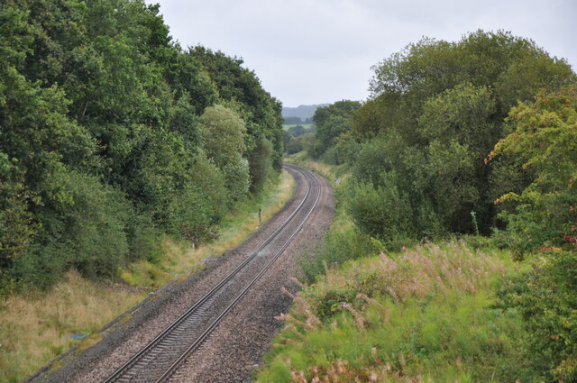
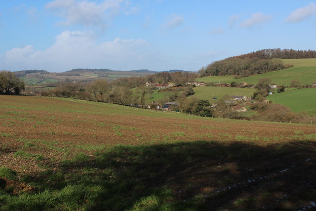
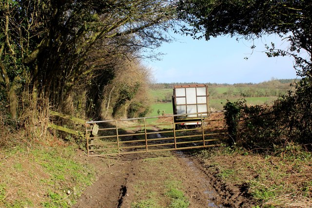
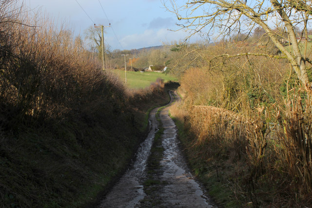
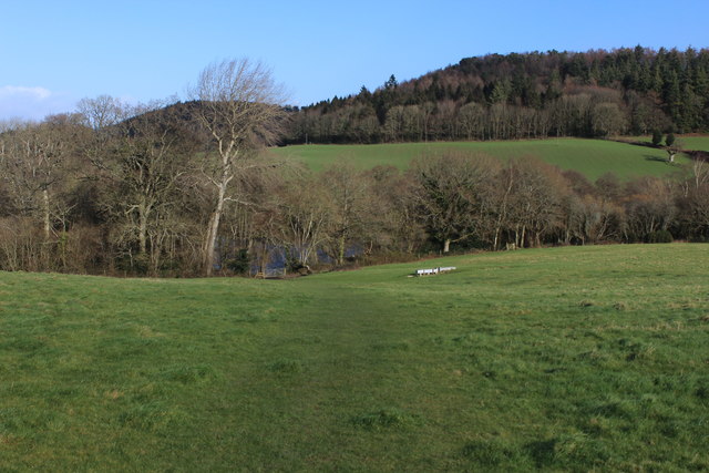
Wood Copse is a small forest located in the county of Wiltshire, England. Situated near the village of Wood, it covers an area of approximately 100 acres. The forest is predominantly composed of deciduous trees, creating a lush and vibrant landscape that changes with the seasons.

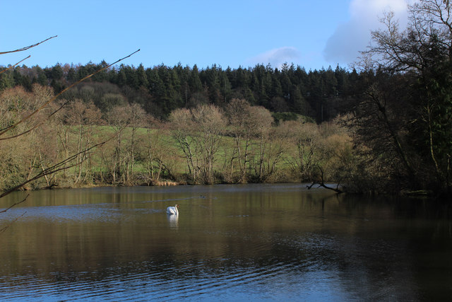
The woodland is known for its rich biodiversity, providing a habitat for a wide range of flora and fauna. It is home to various species of trees, including oak, beech, and birch, which form a dense canopy overhead, filtering sunlight and creating a cool and tranquil environment below.

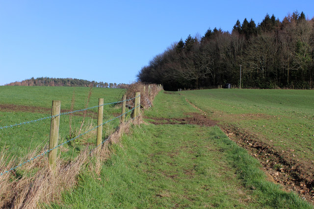
Walking along the well-maintained paths within Wood Copse, visitors can enjoy the serenity of the forest and observe its natural beauty. The forest floor is covered in a thick carpet of moss, ferns, and wildflowers, creating a picturesque scene. The peaceful atmosphere is often enhanced by the gentle sound of birdsong and the occasional rustle of small mammals scurrying through the undergrowth.

Wood Copse is a popular destination for nature enthusiasts, hikers, and birdwatchers alike. The forest offers numerous opportunities for exploration and discovery, with several marked trails that lead to scenic viewpoints and areas of particular interest. It is also a great place for picnicking, with designated areas equipped with benches and tables.

Managed by local authorities, Wood Copse is well-maintained and cared for. It provides a valuable resource for the local community, offering a peaceful retreat and a chance to connect with nature in the heart of Wiltshire.

If you have any feedback on the listing, please let us know in the comments section below.
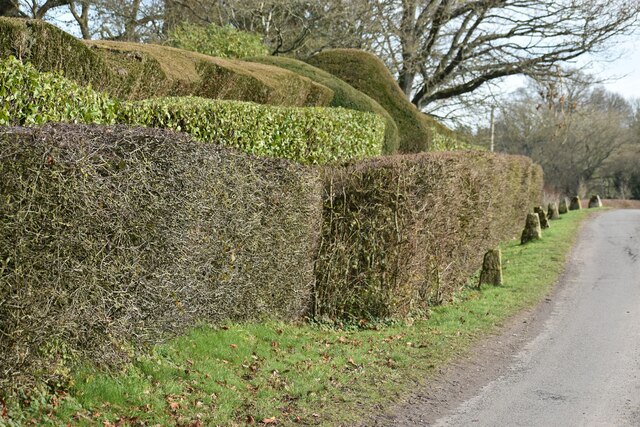
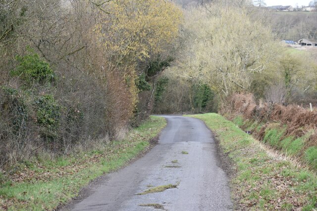
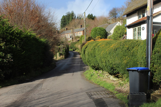
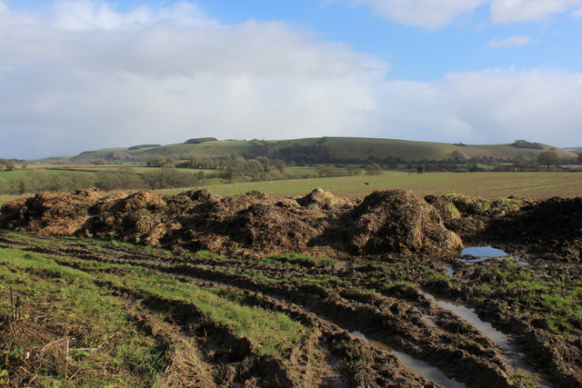
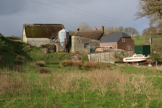
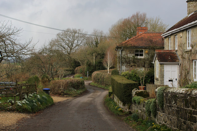
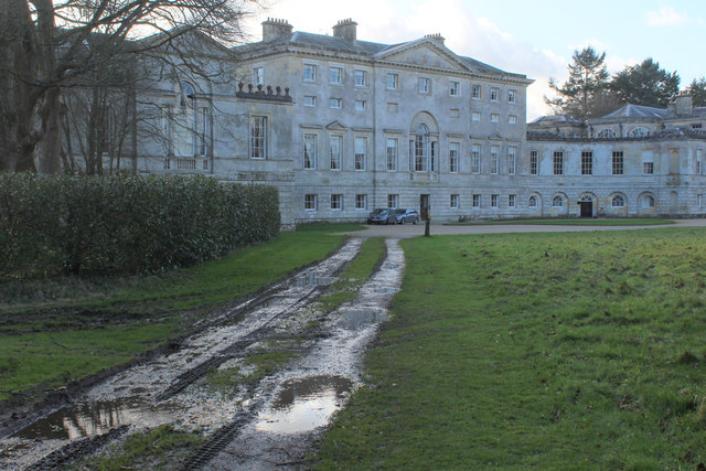
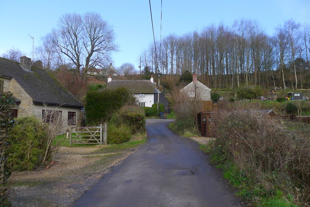
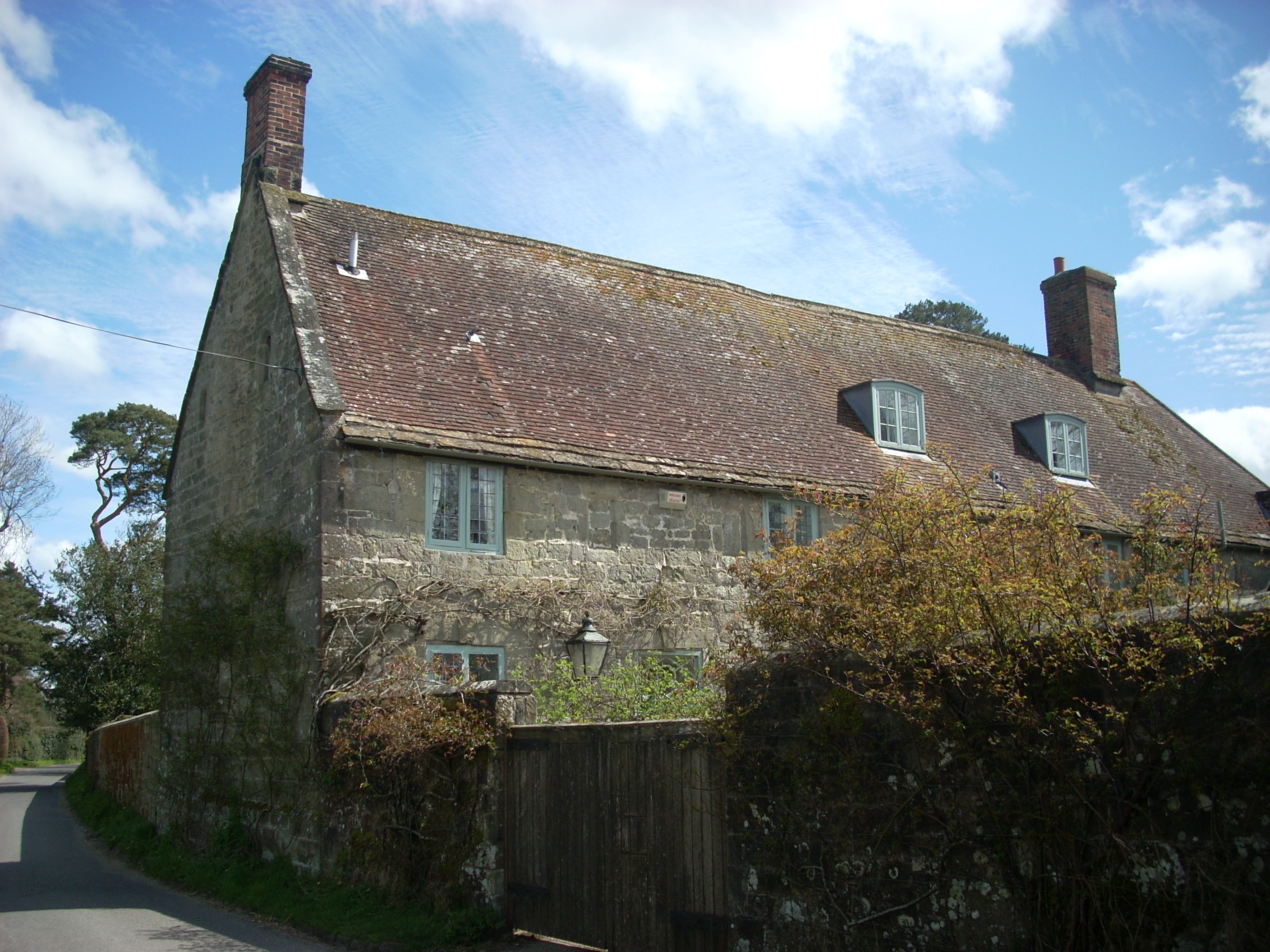
Wood Copse Images

Images are sourced within 2km of 51.02942/-2.1248793 or Grid Reference ST9125. Thanks to Geograph Open Source API. All images are credited.

Railway west of Tisbury A view east of the ex London & South Western Railway (LSWR) main Salisbury to Exeter railway line.  This has suffered downgrading in past years, being singled for much of its length, but hopefully it might be upgraded in the future, with rail traffic increasing.
Railway west of Tisbury
A view east of the ex London & South Western Railway (LSWR) main Salisbury to Exeter railway line. This has suffered downgrading in past years, being singled for much of its length, but hopefully it might be upgraded in the future, with rail traffic increasing.
Wardour Court Wardour Court, from the footpath through the estate.
Wardour Court
Wardour Court, from the footpath through the estate.
Buildings at Broad Oak Farm With Pythouse seen on the hill in the distance.
Buildings at Broad Oak Farm
With Pythouse seen on the hill in the distance.
View towards Broad Oak Farm
Roadside topiary at Folly Oak
Lane north of Broad Oak Farm
In Milkwell Hamlet passed through on the Wessex Ridgeway long distance footpath
In Milkwell
Hamlet passed through on the Wessex Ridgeway long distance footpath
Mud and Manure by Green Lane At the crossing of two tracks above Dengrove Bottom, a fine view eastwards over muck heaps towards White Sheet Hill.
Mud and Manure by Green Lane
At the crossing of two tracks above Dengrove Bottom, a fine view eastwards over muck heaps towards White Sheet Hill.
A View over Dengrove Bottom
Wessex Ridgeway descending towards Dengrove Bottom A muddy and churned up track, made for a slippery descent towards Dengrove Bottom
Wessex Ridgeway descending towards Dengrove Bottom
A muddy and churned up track, made for a slippery descent towards Dengrove Bottom
Dengrove Farm Farming operation in Donhead St Andrew passed by on the Wessex Ridgeway long distance footpath.
Dengrove Farm
Farming operation in Donhead St Andrew passed by on the Wessex Ridgeway long distance footpath.
Wessex Ridgeway in Dengrove Bottom The Wessex Ridgeway is a 136-mile long-distance footpath which runs from Marlborough in Wiltshire to Lyme Regis in Dorset. It was opened in 1994. 

Wikipedia entry: <span class="nowrap"><a title="https://en.wikipedia.org/wiki/Wessex_Ridgeway" rel="nofollow ugc noopener" href="https://en.wikipedia.org/wiki/Wessex_Ridgeway">Link</a><img style="margin-left:2px;" alt="External link" title="External link - shift click to open in new window" src="https://s1.geograph.org.uk/img/external.png" width="10" height="10"/></span>
Wessex Ridgeway in Dengrove Bottom
The Wessex Ridgeway is a 136-mile long-distance footpath which runs from Marlborough in Wiltshire to Lyme Regis in Dorset. It was opened in 1994. Wikipedia entry: LinkExternal link
Hernsham Street, Donhead St. Andrew Adopted by the Wessex Ridgeway long distance footpath as it makes its way through the scattered community of Donhead St. Andrew
Hernsham Street, Donhead St. Andrew
Adopted by the Wessex Ridgeway long distance footpath as it makes its way through the scattered community of Donhead St. Andrew
Wessex Ridgeway descending towards Pale Park Pond
Pale Park Pond One of a string of artificial lakes in Wardour Park.
This one is passed by the Wessex Ridgeway long distance footpath.
Pale Park Pond
One of a string of artificial lakes in Wardour Park. This one is passed by the Wessex Ridgeway long distance footpath.
Wessex Ridgeway heading East towards Old Wardour The Wessex Ridgeway is a 136-mile long-distance footpath which runs from Marlborough in Wiltshire to Lyme Regis in Dorset. It was opened in 1994. 

Wikipedia entry: <span class="nowrap"><a title="https://en.wikipedia.org/wiki/Wessex_Ridgeway" rel="nofollow ugc noopener" href="https://en.wikipedia.org/wiki/Wessex_Ridgeway">Link</a><img style="margin-left:2px;" alt="External link" title="External link - shift click to open in new window" src="https://s1.geograph.org.uk/img/external.png" width="10" height="10"/></span>
Wessex Ridgeway heading East towards Old Wardour
The Wessex Ridgeway is a 136-mile long-distance footpath which runs from Marlborough in Wiltshire to Lyme Regis in Dorset. It was opened in 1994. Wikipedia entry: LinkExternal link
Wessex Ridgeway approaching New Wardour Castle Country house built in the Palladian Style in 1776.
Now converted into luxury apartments after the girls school that occupied the premises, closed.
Grade I Listed Building
Wessex Ridgeway approaching New Wardour Castle
Country house built in the Palladian Style in 1776. Now converted into luxury apartments after the girls school that occupied the premises, closed. Grade I Listed Building
The Wessex Ridgeway path entering Milkwell
Show me another place!

Wood Copse is located at Grid Ref: ST9125 (Lat: 51.02942, Lng: -2.1248793)

Unitary Authority: Wiltshire

Police Authority: Wiltshire

What 3 Words

///testy.mouths.skillet. Near Ansty, Wiltshire

Related Wikis

Donhead St Andrew

Donhead St Andrew is a village and civil parish in Wiltshire, England, on the River Nadder. It lies 4 miles (6.4 km) east of the Dorset market town of...

Donhead St Mary

Donhead St Mary is a village and civil parish in southwest Wiltshire, England, on the county border with Dorset. The village lies about 2+1⁄2 miles (4...

Shute House, Donhead St Mary

Shute House, Donhead St Mary, Wiltshire, England is a former rectory, now a private home, notable for its gardens designed by Geoffrey Jellicoe. About...

Gutch Common

Gutch Common (grid reference ST896259) is a 35.1 hectare biological Site of Special Scientific Interest in Wiltshire, notified in 1951. == Sources == Natural...

Nearby Amenities

Located within 500m of 51.02942,-2.1248793
Barrier: stile
Lat/Long: 51.0262373/-2.1264689
Barrier: stile
Lat/Long: 51.0289871/-2.1186658
Barrier: stile
Lat/Long: 51.0288877/-2.1189372
Barrier: stile
Lat/Long: 51.0288741/-2.119014
Post Box
Post Box Type: lamp
Ref: SP7 87
Royal Cypher: EIIR
Royal Cypher Wikidata: Q33102113
Lat/Long: 51.0303355/-2.1183805
The data included in this document is from www.openstreetmap.org. The data is made available under ODbL.

Have you been to Wood Copse?

Leave your review of Wood Copse below (or comments, questions and feedback).