West Pasture Plantation
Wood, Forest in Yorkshire Richmondshire
England
West Pasture Plantation

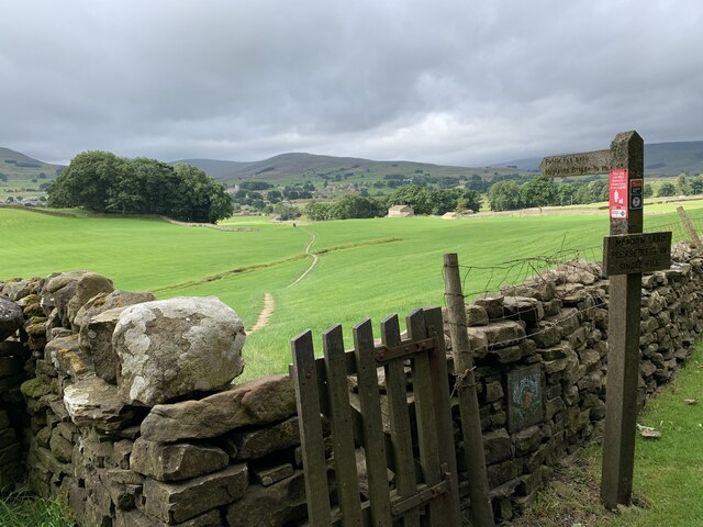
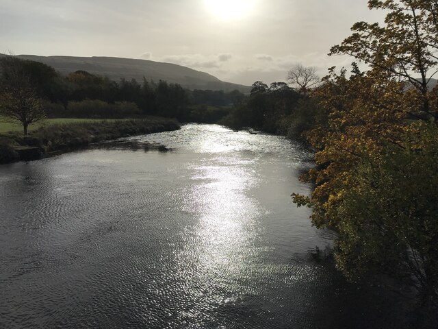
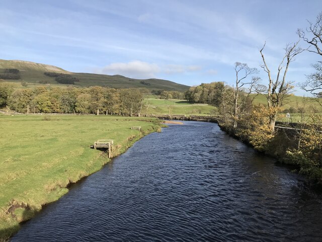
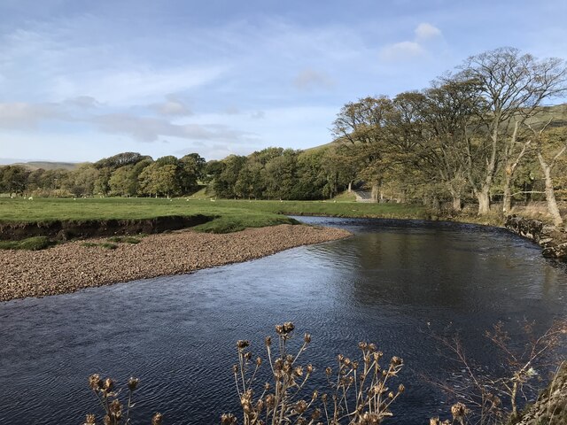
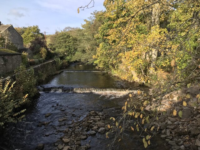
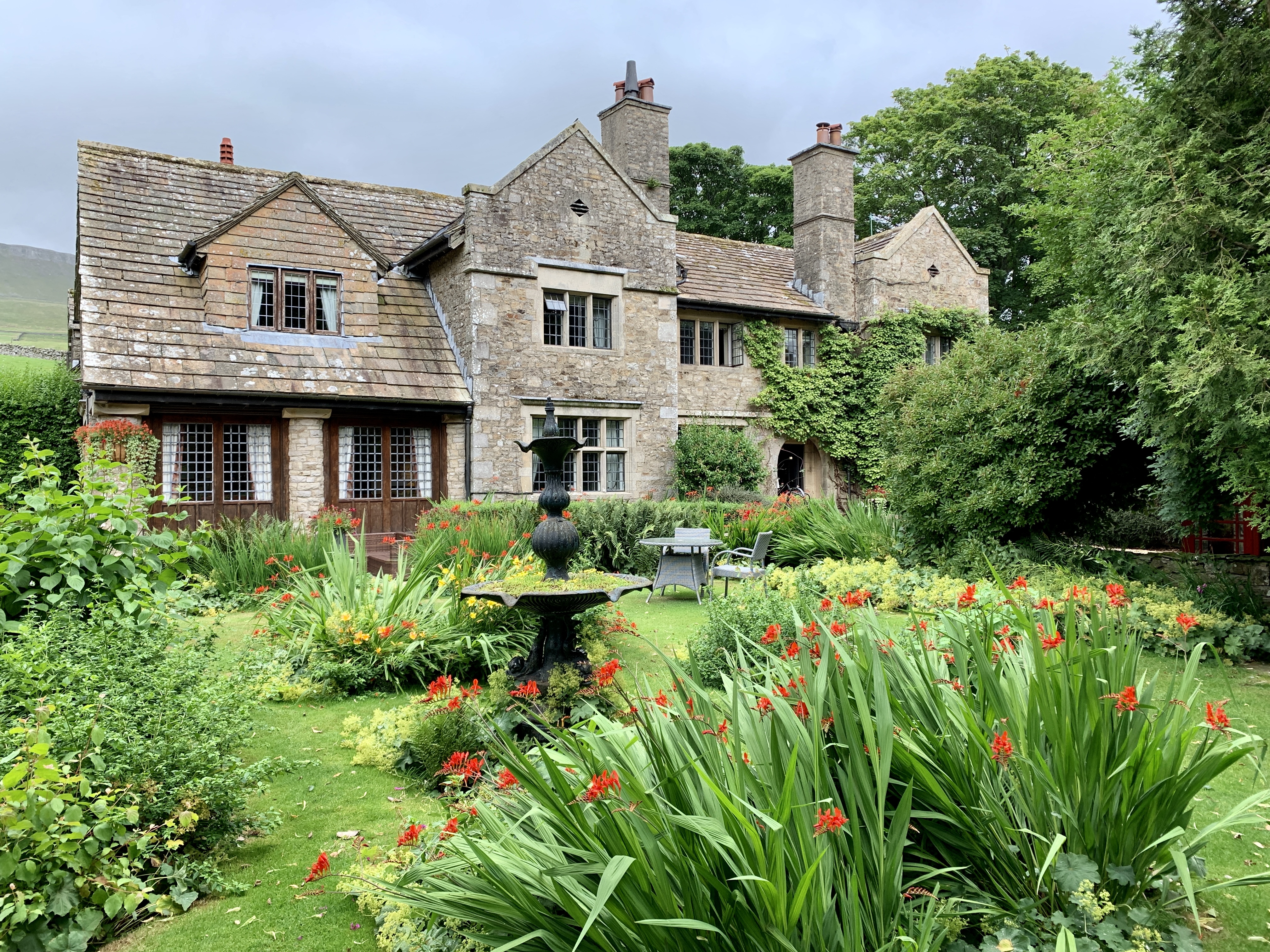
West Pasture Plantation is a picturesque woodland located in Yorkshire, England. Covering an area of approximately 100 acres, this enchanting forest is a popular destination for nature lovers and outdoor enthusiasts alike. The plantation is situated in the heart of the region, offering visitors a serene and tranquil escape from the hustle and bustle of everyday life.
The woodland is predominantly composed of various species of native trees, including oak, beech, and ash, which create a breathtaking canopy of greenery. The dense vegetation provides a perfect habitat for a wide array of flora and fauna, making it a haven for wildlife enthusiasts.
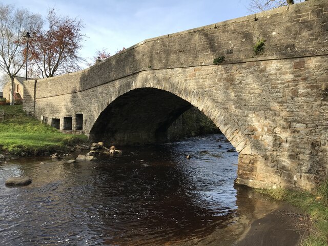
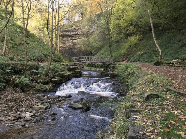
The plantation offers a network of well-maintained walking trails, allowing visitors to explore the woodland at their own pace. The paths wind through the forest, leading to hidden glades, babbling brooks, and stunning viewpoints. Along the way, visitors may encounter an assortment of wildlife, such as deer, foxes, and a variety of bird species.
West Pasture Plantation is also a popular spot for recreational activities such as picnicking, photography, and birdwatching. The peaceful atmosphere and stunning natural beauty make it an ideal location for those seeking solace in nature.
Whether it's a leisurely stroll, a family day out, or an opportunity to reconnect with nature, West Pasture Plantation offers a truly captivating experience. With its lush greenery, diverse wildlife, and tranquil surroundings, this woodland is a must-visit destination for anyone seeking to immerse themselves in the beauty of Yorkshire's natural landscapes.
If you have any feedback on the listing, please let us know in the comments section below.
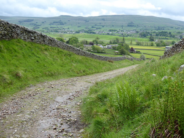
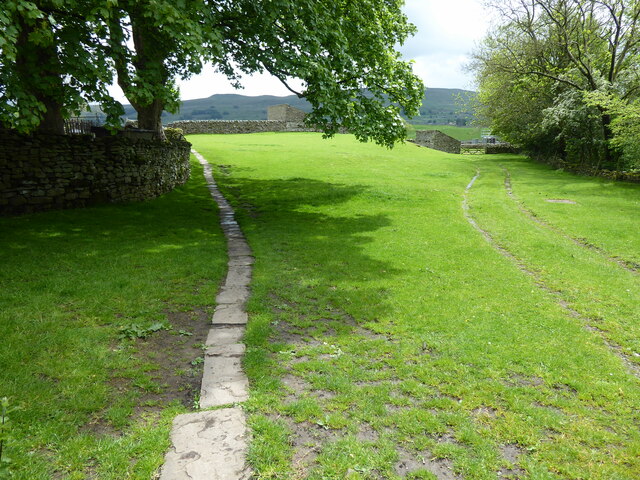
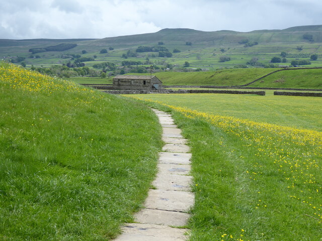
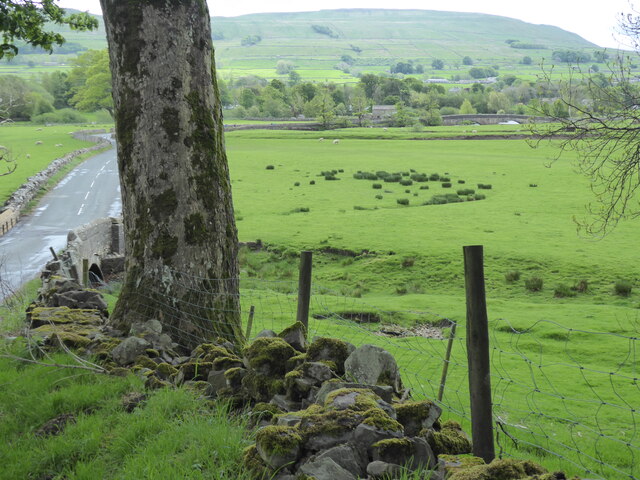
West Pasture Plantation Images
Images are sourced within 2km of 54.322391/-2.1867013 or Grid Reference SD8791. Thanks to Geograph Open Source API. All images are credited.

West Pasture Plantation is located at Grid Ref: SD8791 (Lat: 54.322391, Lng: -2.1867013)
Division: North Riding
Administrative County: North Yorkshire
District: Richmondshire
Police Authority: North Yorkshire
What 3 Words
///poet.cork.assures. Near Kirkby Stephen, Cumbria
Nearby Locations
Related Wikis

Simonstone, North Yorkshire
Simonstone is a hamlet near Hawes and Hardraw Force within the Yorkshire Dales in North Yorkshire, England. == References ==

Sedbusk
Sedbusk is a hamlet near Hawes and Hardraw Force within the Yorkshire Dales in North Yorkshire, England. The hamlet is 1 mile (1.5 km) north of the town...
Stone House, Hawes
Stone House is a Grade II listed building in the civil parish of High Abbotside, near Hawes, North Yorkshire, England. == History == Stone House was built...

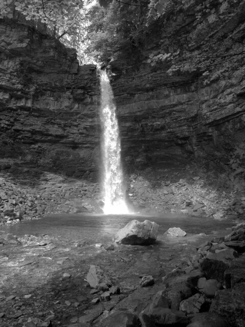
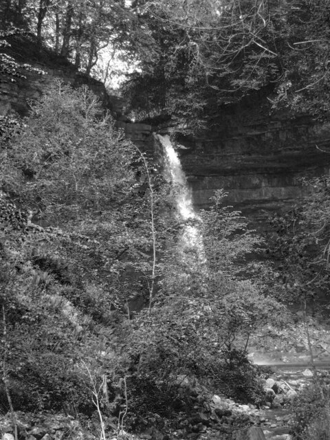
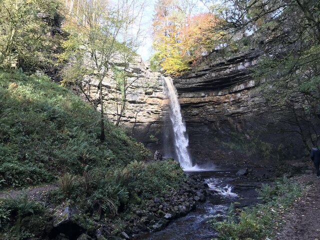
Hardraw Force
Hardraw Force (OS grid ref: SD869917) is a waterfall on Hardraw Beck in Hardraw Scar, a wooded ravine just outside the hamlet of Hardraw, 0.9 miles (1...
Nearby Amenities
Located within 500m of 54.322391,-2.1867013Have you been to West Pasture Plantation?
Leave your review of West Pasture Plantation below (or comments, questions and feedback).