Lanhill Clump

Wood, Forest in Wiltshire

England

Lanhill Clump

Electricity near Chippenham
Electricity near Chippenham Credit: Anthony Parkes

Lanhill Clump is a serene woodland located in the county of Wiltshire, England. Spread across an area of approximately 10 hectares, this ancient woodland is nestled within the picturesque landscape of the Cotswolds.

The Clump is predominantly composed of broadleaf trees, including oak, beech, and ash, which provide a rich and diverse habitat for a variety of flora and fauna. The woodland floor is adorned with a carpet of bluebells during the spring season, creating a magical atmosphere for visitors.

The trees in Lanhill Clump are of great importance both ecologically and historically. Many of them are several centuries old, lending an air of wisdom and mystique to the forest. The woodland has been carefully managed over the years to maintain its natural beauty and preserve its heritage value.

Visitors to Lanhill Clump can enjoy peaceful walks along its well-maintained footpaths, immersing themselves in the tranquility of nature. The woodland also offers opportunities for birdwatching, with species such as woodpeckers, nuthatches, and tawny owls commonly spotted.

Lanhill Clump is easily accessible, located near the village of Chippenham, and offers ample parking facilities for visitors. It is a popular destination for nature enthusiasts, photographers, and those seeking a peaceful retreat from the hustle and bustle of everyday life.

Overall, Lanhill Clump is a hidden gem in Wiltshire, offering a sanctuary of natural beauty and a glimpse into the ancient woodlands that once covered much of the British Isles.

If you have any feedback on the listing, please let us know in the comments section below.

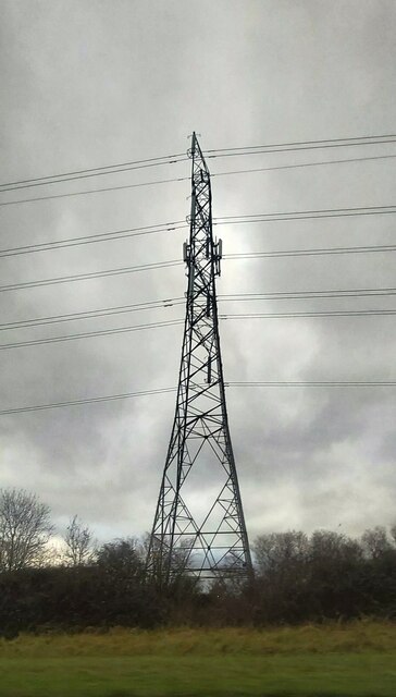
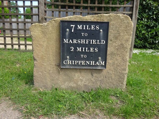
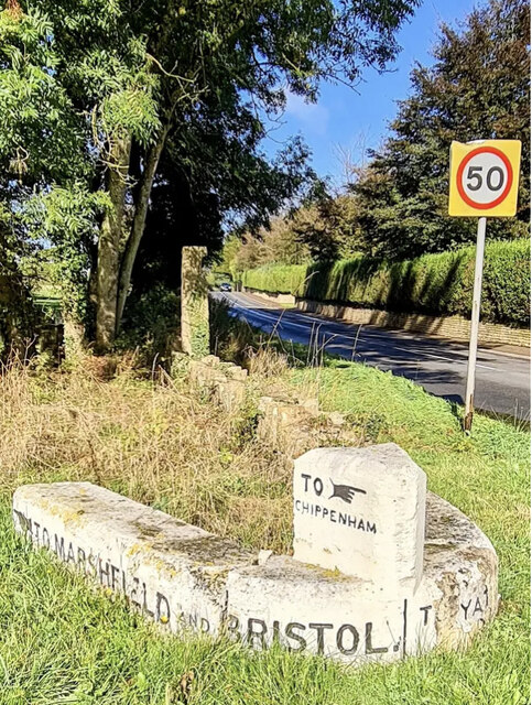
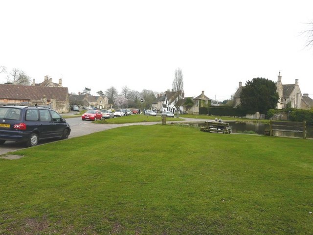
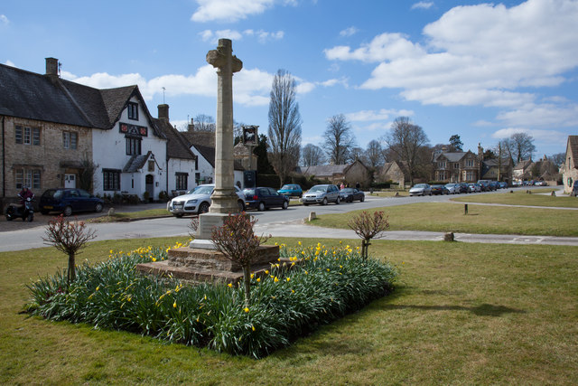
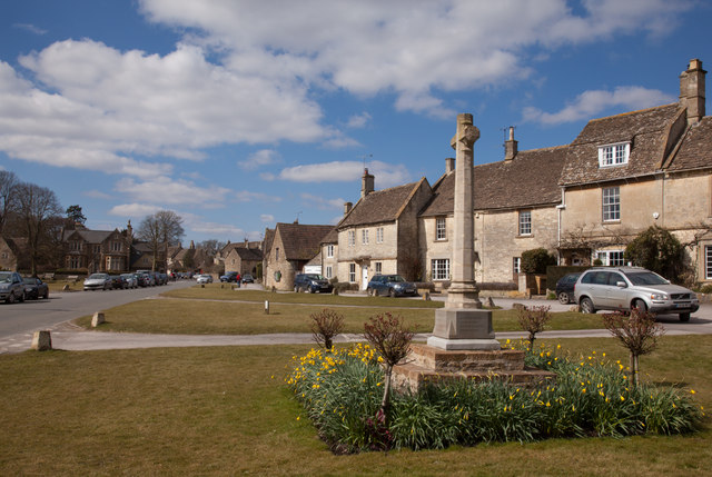
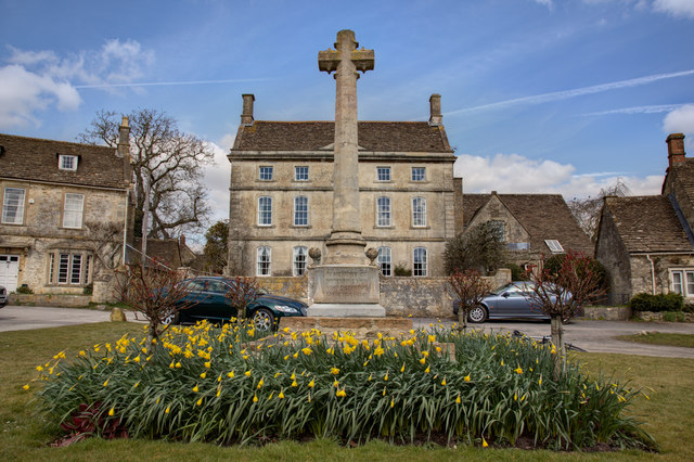
Lanhill Clump Images

Images are sourced within 2km of 51.469174/-2.1747242 or Grid Reference ST8774. Thanks to Geograph Open Source API. All images are credited.

Electricity near Chippenham
Modern Milestone, Chippenham Without Opposite a petrol station on the A420, Bristol Road. 
This is a replacement for the old milestone
see <a href="https://www.geograph.org.uk/photo/6072414">ST8974 : Old Milestone by the A420, Bristol Road, west of Chippenham</a> sometime between April 2021 & October 2021.

Inscription: 7 Miles / To / Marshfield / 2 miles / To / Chippenham

Milestone Society National ID: WI_CPMF02 R
Modern Milestone, Chippenham Without
Opposite a petrol station on the A420, Bristol Road. This is a replacement for the old milestone see ST8974 : Old Milestone by the A420, Bristol Road, west of Chippenham sometime between April 2021 & October 2021. Inscription: 7 Miles / To / Marshfield / 2 miles / To / Chippenham Milestone Society National ID: WI_CPMF02 R
Old Guide Stone by the A420, Bristol Road, Lanhill Marshfield iron plate by the A420, in parish of Chippenham Without (North Wiltshire District), Bristol Road, Lanhill at junction with the B4039, on wide grass verge within apex of junction, now near The Long Stone - probably moved when the junction was changed. An earlier photograph can be found here <a title="https://www.geograph.org.uk/photo/6094709" href="https://www.geograph.org.uk/photo/6094709">Link</a>.

Inscription reads:-
: {<-hand} TO MARSHFIELD AND BRISTOL.: : TO {HAND->} / CHIPPENHAM : : {<-HAND} TO / CHIPPENHAM : : TO YATTON KEYNELL, CRITTLETON. / BADMINTON AND SODBURY. {hand->} 
Carved bench mark and rivet on top of raised section.

Grade II listed.
List Entry Number: 1283421 <span class="nowrap"><a title="https://historicengland.org.uk/listing/the-list/list-entry/1283421" rel="nofollow ugc noopener" href="https://historicengland.org.uk/listing/the-list/list-entry/1283421">Link</a><img style="margin-left:2px;" alt="External link" title="External link - shift click to open in new window" src="https://s1.geograph.org.uk/img/external.png" width="10" height="10"/></span>

Milestone Society National ID: WI_CPMF02S
Old Guide Stone by the A420, Bristol Road, Lanhill
Marshfield iron plate by the A420, in parish of Chippenham Without (North Wiltshire District), Bristol Road, Lanhill at junction with the B4039, on wide grass verge within apex of junction, now near The Long Stone - probably moved when the junction was changed. An earlier photograph can be found here Link. Inscription reads:- : {<-hand} TO MARSHFIELD AND BRISTOL.: : TO {HAND->} / CHIPPENHAM : : {<-HAND} TO / CHIPPENHAM : : TO YATTON KEYNELL, CRITTLETON. / BADMINTON AND SODBURY. {hand->} Carved bench mark and rivet on top of raised section. Grade II listed. List Entry Number: 1283421 LinkExternal link Milestone Society National ID: WI_CPMF02S
The Green, Biddestone The couple sitting on the bench are admiring the pond while to their left in the middle distance are the white painted walls of The White Horse
The Green, Biddestone
The couple sitting on the bench are admiring the pond while to their left in the middle distance are the white painted walls of The White Horse
The White Horse The datestone above the entrance seems to indicate that this is a comparatively young building?
The White Horse
The datestone above the entrance seems to indicate that this is a comparatively young building?
Biddestone Manor rear elevation Parts of the house date from the 16th/17th C and are contemporary with the attendant dovecote and barns. Free use is made local stone but red brick and stone dressings were used in the 18th C modifications.
Biddestone Manor rear elevation
Parts of the house date from the 16th/17th C and are contemporary with the attendant dovecote and barns. Free use is made local stone but red brick and stone dressings were used in the 18th C modifications.
Biddestone duck pond This pond is more significant than at first sight. Local records show that in 1661 a Mr Mountjoy made a gutter from the springs and put the water from the streets into a pond. The pond provided water for animals and steam engines. In it, wagon wheels were soaked during warm weather to expand their wood, thus preventing their iron tyres from getting loose.
Biddestone duck pond
This pond is more significant than at first sight. Local records show that in 1661 a Mr Mountjoy made a gutter from the springs and put the water from the streets into a pond. The pond provided water for animals and steam engines. In it, wagon wheels were soaked during warm weather to expand their wood, thus preventing their iron tyres from getting loose.
Track to Starveall Farm Situated in splendid isolation on Chippenham Lane this farm complex boasts grade II listed barns, a nearby Romano-British villa site and a small stream fed pond.
Track to Starveall Farm
Situated in splendid isolation on Chippenham Lane this farm complex boasts grade II listed barns, a nearby Romano-British villa site and a small stream fed pond.
Biddestone War Memorial and Village Green
Biddestone Village Green and War Memorial A view of the village green and the houses bounding the eastern side of it.
Biddestone Village Green and War Memorial
A view of the village green and the houses bounding the eastern side of it.
Biddestone War Memorial
A wet June day in Biddestone
Harts Lane, Biddestone
Looking north on Yatton Road
Looking west from Yatton Road into a field
Biddestone Pond Dwelling at west side of Biddestone pond.
Biddestone Pond
Dwelling at west side of Biddestone pond.
Biddestone Pond East side of Biddestone pond, Pond farm beyond the pond.
Biddestone Pond
East side of Biddestone pond, Pond farm beyond the pond.
Pond at Biddestone View east across the village pond. The White Horse public house is next to the tall tree on the far side of the green.
Pond at Biddestone
View east across the village pond. The White Horse public house is next to the tall tree on the far side of the green.
Show me another place!

Lanhill Clump is located at Grid Ref: ST8774 (Lat: 51.469174, Lng: -2.1747242)

Unitary Authority: Wiltshire

Police Authority: Wiltshire

What 3 Words

///newsstand.coconut.path. Near Biddestone, Wiltshire

Related Wikis

Sheldon Manor

Sheldon Manor near Chippenham, Wiltshire, England, is Wiltshire's oldest inhabited manor house and dates back to Anglo-Saxon times. Its structure is mostly...

Chippenham Without

Chippenham Without is a civil parish in Wiltshire, England, created as a separate entity from the parish of Chippenham by the Local Government Act 1894...

Tiddleywink

Tiddleywink is a hamlet consisting of eight cottages on the B4039 road, near the village of Yatton Keynell, about 3 miles (4.8 km) northwest of Chippenham...

Allington, North Wiltshire

Allington is a hamlet in north Wiltshire, England. It is on the edge of the market town of Chippenham, about 2 miles (3 km) north-west of the town centre...

Nearby Amenities

Located within 500m of 51.469174,-2.1747242
Barrier: stile
Lat/Long: 51.4667894/-2.1754741
Barrier: stile
Lat/Long: 51.4669373/-2.1754969
Barrier: stile
Lat/Long: 51.4667474/-2.1755412
Lanhill Barrow
Alt Name: Lanhill Long Barrow;Hubba's Low
Archaeological Site: megalith
Description: Long Barrow
Heritage: 2
Heritage Operator: he
Heritage Website: https://historicengland.org.uk/listing/the-list/list-entry/1010908
Historic: archaeological_site
Material: stone
Megalith Type: long_barrow
Ref He: 1010908
Source: OS 1:25k
Wikidata: Q17650128
Lat/Long: 51.4713039/-2.177916
Lan Hill
Ele: 129
Natural: peak
Source: OS 1:25k
Lat/Long: 51.4692455/-2.1745257
Power: pole
Source: bing
Lat/Long: 51.4674881/-2.1811643
Power: pole
Source: bing
Lat/Long: 51.4683987/-2.1813279
Power: pole
Source: bing
Lat/Long: 51.4692659/-2.1814862
Material: wood
Power: pole
Source: bing
Lat/Long: 51.4682316/-2.1684212
Material: wood
Power: pole
Source: bing
Lat/Long: 51.4679593/-2.1696255
Power: pole
Source: bing
Lat/Long: 51.4676936/-2.1708083
Power: pole
Source: bing
Lat/Long: 51.4674213/-2.1720435
Power: pole
Source: bing
Lat/Long: 51.4680128/-2.1731298
Power: pole
Source: bing
Lat/Long: 51.4685942/-2.1741906
Power: pole
Source: bing
Lat/Long: 51.469037/-2.1749926
Power: pole
Source: bing
Lat/Long: 51.4725573/-2.1754566
Power: pole
Source: bing
Lat/Long: 51.4718222/-2.1760735
Power: pole
Source: bing
Lat/Long: 51.4701966/-2.1770364
Power: pole
Source: bing
Lat/Long: 51.4710086/-2.1765603
Power: pole
Source: bing
Lat/Long: 51.469453/-2.1757449
Power: pole
Source: bing
Lat/Long: 51.4701498/-2.177023
Power: pole
Source: bing
Lat/Long: 51.4701531/-2.1785036
Power: pole
Source: bing
Lat/Long: 51.470159/-2.1800485
Power: pole
Source: bing
Lat/Long: 51.4701539/-2.1815921
Power: pole
Source: bing
Lat/Long: 51.4700804/-2.1816444
Colour: yellow;black
Marker: aerial
Operator: GPSS
Utility: oil
Lat/Long: 51.4723252/-2.1724334
Colour: white
Marker: stile
Operator: GPSS
Utility: oil
Lat/Long: 51.4723346/-2.1724384
Colour: white
Marker: stone
Operator: GPSS
Utility: oil
Lat/Long: 51.4722033/-2.1721794
Colour: yellow;black
Marker: aerial
Operator: GPSS
Utility: oil
Lat/Long: 51.4722008/-2.1721765
The data included in this document is from www.openstreetmap.org. The data is made available under ODbL.

Have you been to Lanhill Clump?

Leave your review of Lanhill Clump below (or comments, questions and feedback).